Dana is a town in Helt Township, Vermillion County, Indiana, United States. The population was 608 at the 2010 census. It is primarily a farming community.
| Name: | Dana town |
|---|---|
| LSAD Code: | 43 |
| LSAD Description: | town (suffix) |
| State: | Indiana |
| County: | Vermillion County |
| Elevation: | 640 ft (195 m) |
| Total Area: | 0.29 sq mi (0.76 km²) |
| Land Area: | 0.29 sq mi (0.76 km²) |
| Water Area: | 0.00 sq mi (0.00 km²) |
| Total Population: | 555 |
| Population Density: | 1,900.68/sq mi (733.89/km²) |
| ZIP code: | 47847 |
| Area code: | 765 |
| FIPS code: | 1816732 |
| GNISfeature ID: | 433305 |
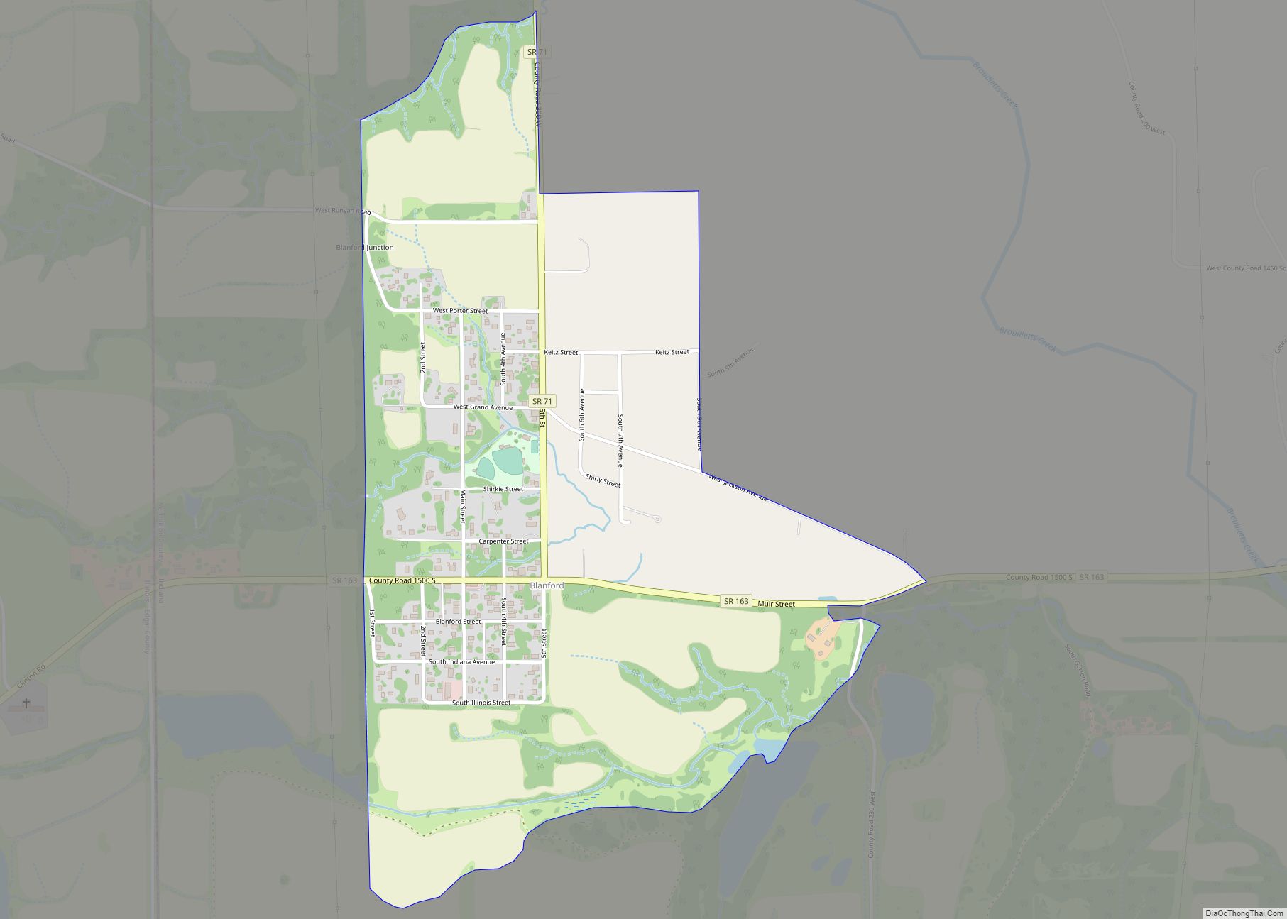
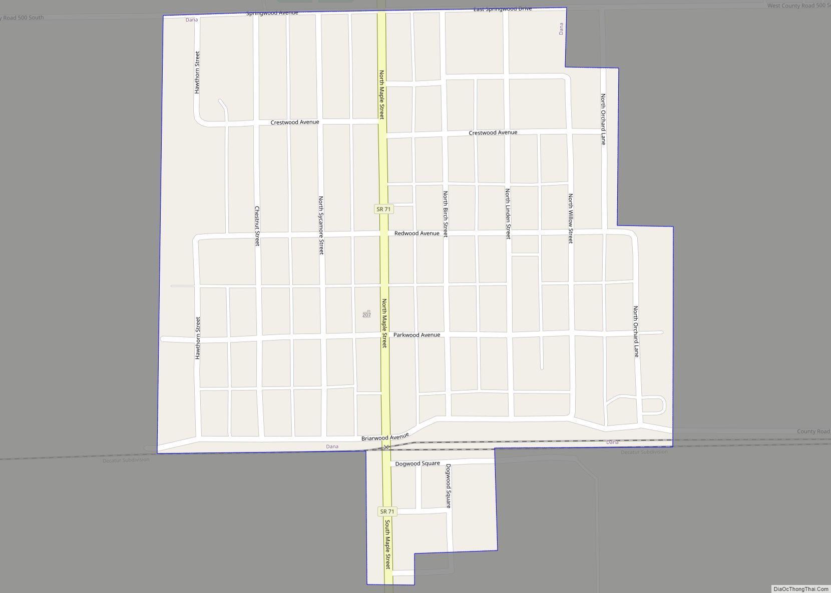
Online Interactive Map
Click on ![]() to view map in "full screen" mode.
to view map in "full screen" mode.
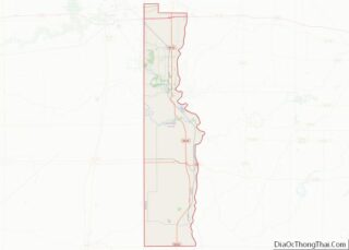
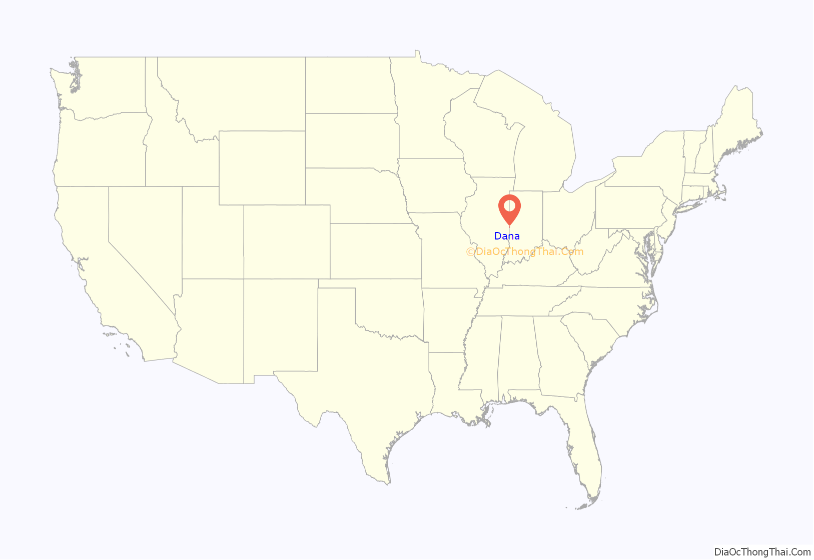
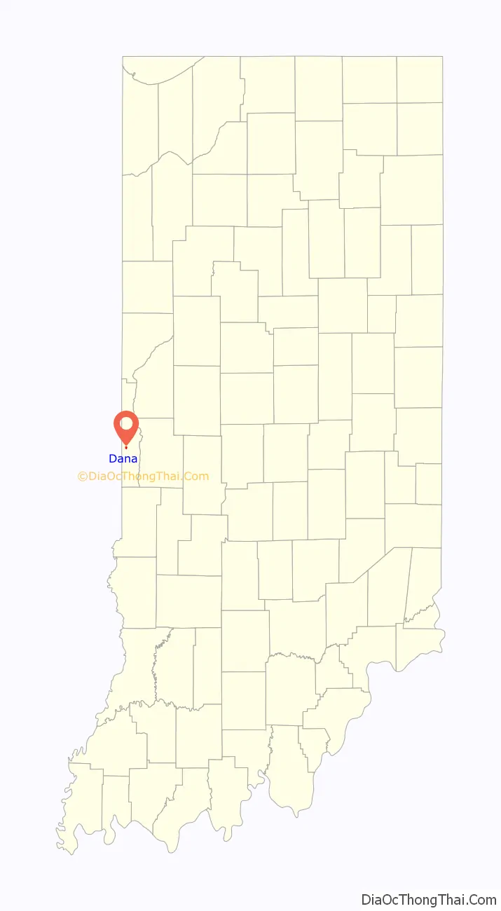
Dana location map. Where is Dana town?
History
Dana was platted in 1874 when the railroad was extended to that point. The town was named for Charles Dana, a railroad promoter. A post office has been in operation at Dana since 1874. Dana was incorporated in 1886. In 1886, Dana was declared a rapidly growing and vibrant community, due to its railroad, businesses, and agriculture.
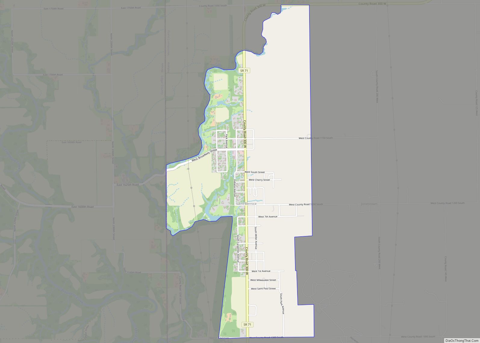
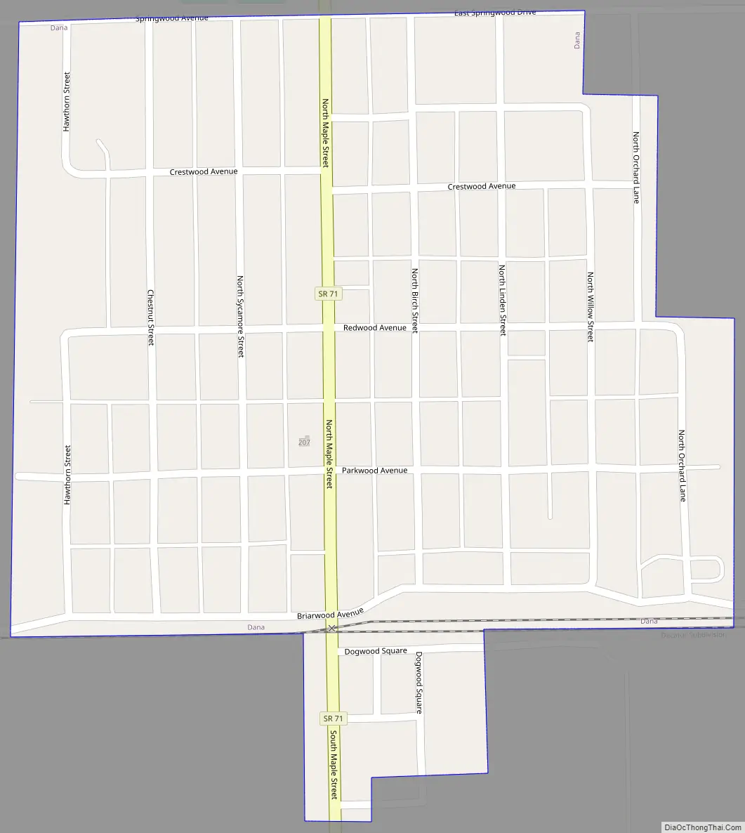
Dana Road Map
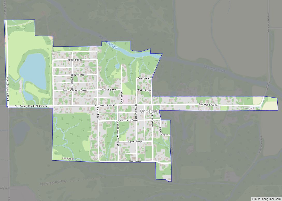
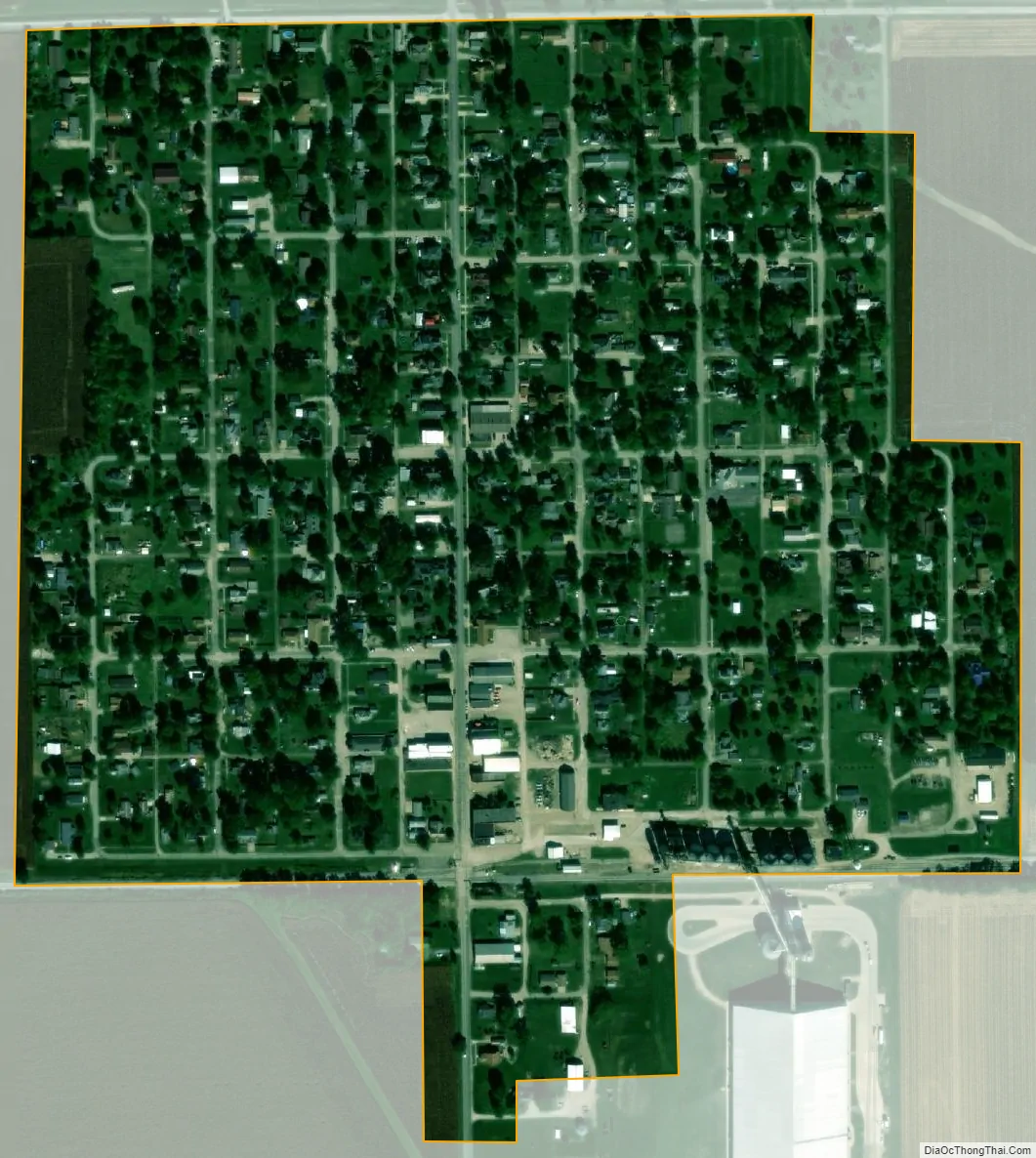
Dana city Satellite Map
Geography
Dana is located in the central part of the county, on Indiana State Road 71 less than 0.5 miles (0.80 km) north of U.S. Route 36.
According to the 2010 census, Dana has a total area of 0.29 square miles (0.75 km), all land.
See also
Map of Indiana State and its subdivision:- Adams
- Allen
- Bartholomew
- Benton
- Blackford
- Boone
- Brown
- Carroll
- Cass
- Clark
- Clay
- Clinton
- Crawford
- Daviess
- De Kalb
- Dearborn
- Decatur
- Delaware
- Dubois
- Elkhart
- Fayette
- Floyd
- Fountain
- Franklin
- Fulton
- Gibson
- Grant
- Greene
- Hamilton
- Hancock
- Harrison
- Hendricks
- Henry
- Howard
- Huntington
- Jackson
- Jasper
- Jay
- Jefferson
- Jennings
- Johnson
- Knox
- Kosciusko
- LaGrange
- Lake
- Lake Michigan
- LaPorte
- Lawrence
- Madison
- Marion
- Marshall
- Martin
- Miami
- Monroe
- Montgomery
- Morgan
- Newton
- Noble
- Ohio
- Orange
- Owen
- Parke
- Perry
- Pike
- Porter
- Posey
- Pulaski
- Putnam
- Randolph
- Ripley
- Rush
- Saint Joseph
- Scott
- Shelby
- Spencer
- Starke
- Steuben
- Sullivan
- Switzerland
- Tippecanoe
- Tipton
- Union
- Vanderburgh
- Vermillion
- Vigo
- Wabash
- Warren
- Warrick
- Washington
- Wayne
- Wells
- White
- Whitley
- Alabama
- Alaska
- Arizona
- Arkansas
- California
- Colorado
- Connecticut
- Delaware
- District of Columbia
- Florida
- Georgia
- Hawaii
- Idaho
- Illinois
- Indiana
- Iowa
- Kansas
- Kentucky
- Louisiana
- Maine
- Maryland
- Massachusetts
- Michigan
- Minnesota
- Mississippi
- Missouri
- Montana
- Nebraska
- Nevada
- New Hampshire
- New Jersey
- New Mexico
- New York
- North Carolina
- North Dakota
- Ohio
- Oklahoma
- Oregon
- Pennsylvania
- Rhode Island
- South Carolina
- South Dakota
- Tennessee
- Texas
- Utah
- Vermont
- Virginia
- Washington
- West Virginia
- Wisconsin
- Wyoming