Clinton is a city in Clinton Township, Vermillion County, in the U.S. state of Indiana. The population was 4,893 at the 2010 census.
| Name: | Clinton city |
|---|---|
| LSAD Code: | 25 |
| LSAD Description: | city (suffix) |
| State: | Indiana |
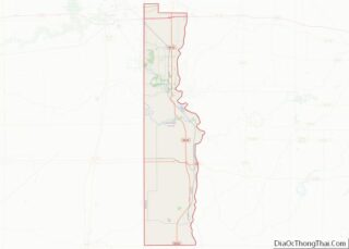
| County: | Vermillion County |
| Elevation: | 495 ft (151 m) |
| Total Area: | 2.28 sq mi (5.90 km²) |
| Land Area: | 2.25 sq mi (5.83 km²) |
| Water Area: | 0.03 sq mi (0.06 km²) |
| Total Population: | 4,831 |
| Population Density: | 2,145.20/sq mi (828.41/km²) |
| ZIP code: | 47842 |
| Area code: | 765 |
| FIPS code: | 1813780 |
| GNISfeature ID: | 432671 |
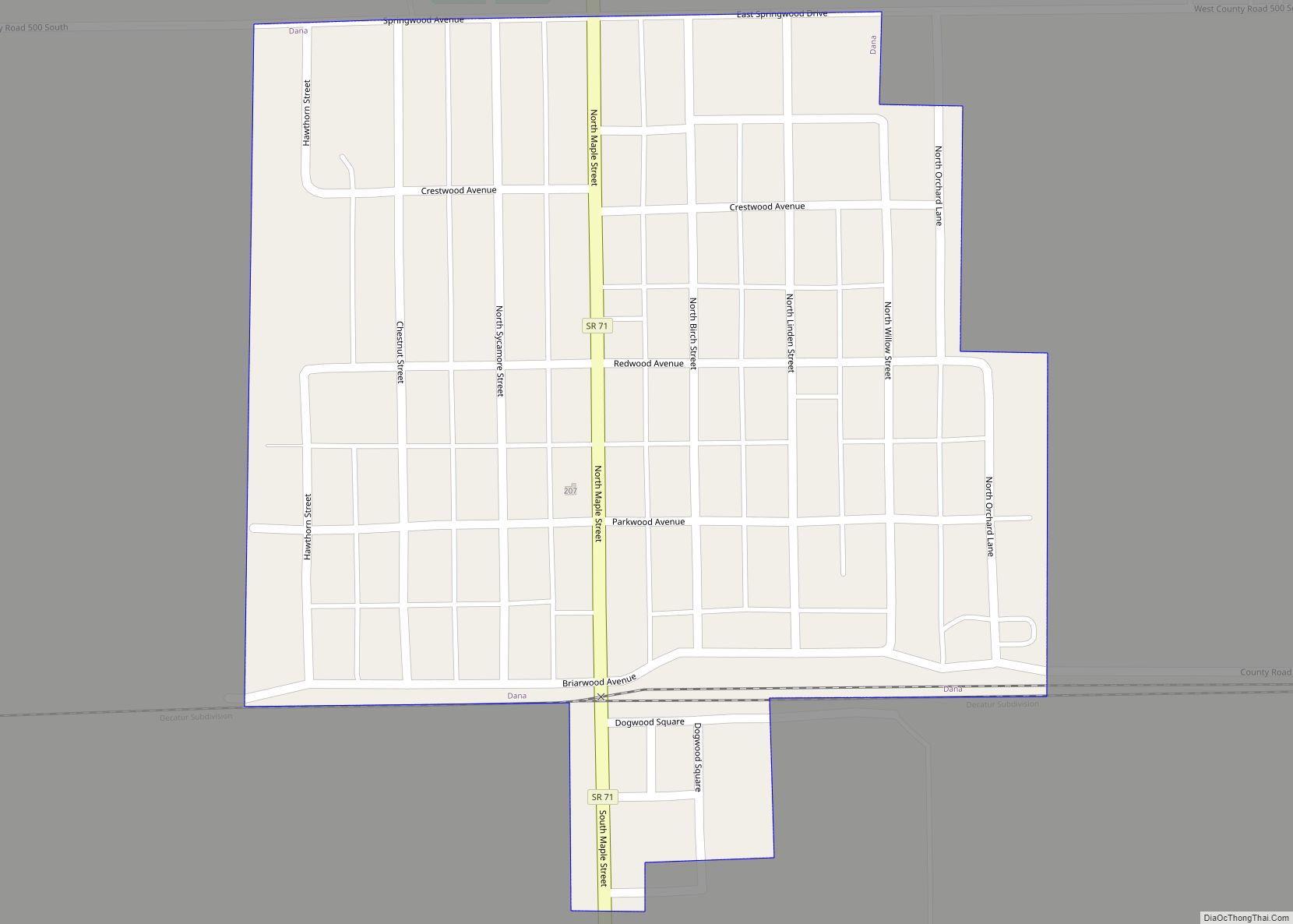
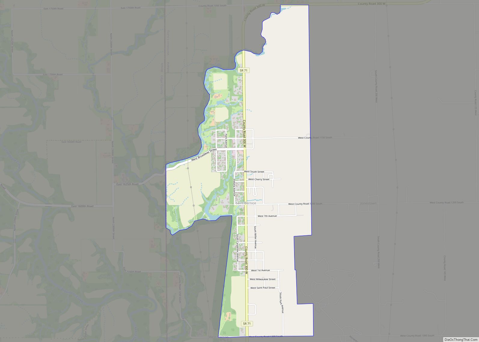
Online Interactive Map
Click on ![]() to view map in "full screen" mode.
to view map in "full screen" mode.
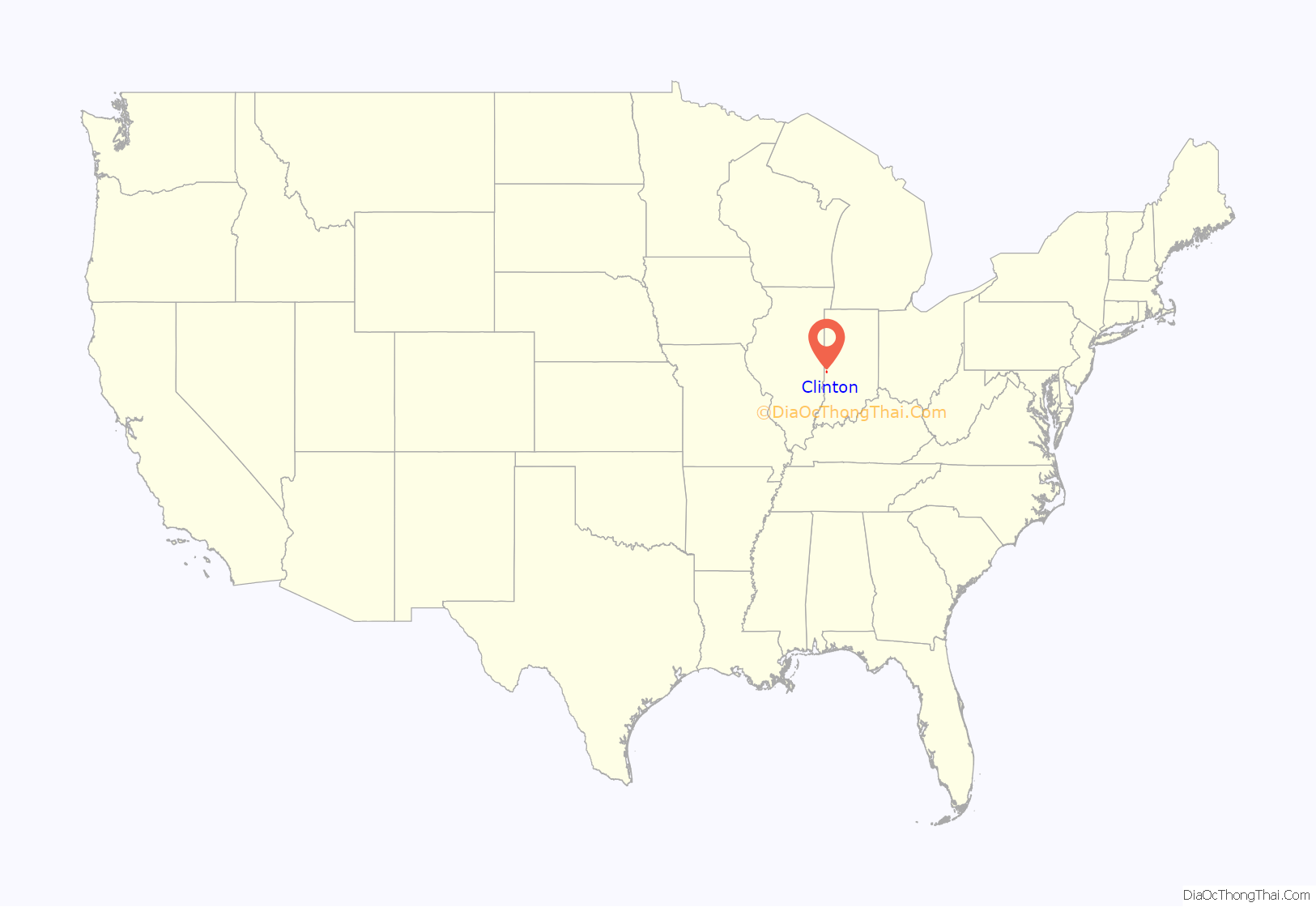
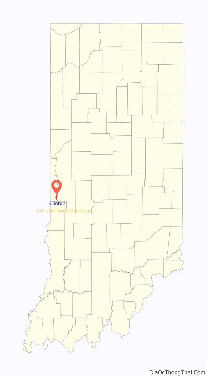
Clinton location map. Where is Clinton city?
History
The city was established in 1829 and is named for DeWitt Clinton, governor of New York from 1817 to 1823. Many of Clinton’s original settlers were immigrants working in coal mines, many from Italy. According to Vermillion County naturalization records, “…from 1856 to 1952… Vermillion County received almost 3,550 new citizens of foreign birth, the largest number coming during the first twelve years of [the 20th] century. Italians accounted for one-third, or 1,178, of the total number who filed Declarations, with Austrians the next largest group (675) and then Scots. At least 77 percent of the Italians were from the northern regions of Italy.” This was in contrast to the majority of Italian immigrants to America during this same time period that hailed from southern Italy. Over time, the coal mining industry in Clinton ended but many of the Italian settlers stayed at Clinton.
The Clinton post office has been in operation since 1823.
The Clinton Paving and Building Brick Company was established in 1893, at which time it was producing 40,000 bricks per day.
The Clinton Downtown Historic District and Hill Crest Community Center are listed on the National Register of Historic Places.
In 2016, a satirical news website posted a fake news story about the town, claiming that the mayor was changing the town’s name to avoid referencing Bill and Hillary Clinton.
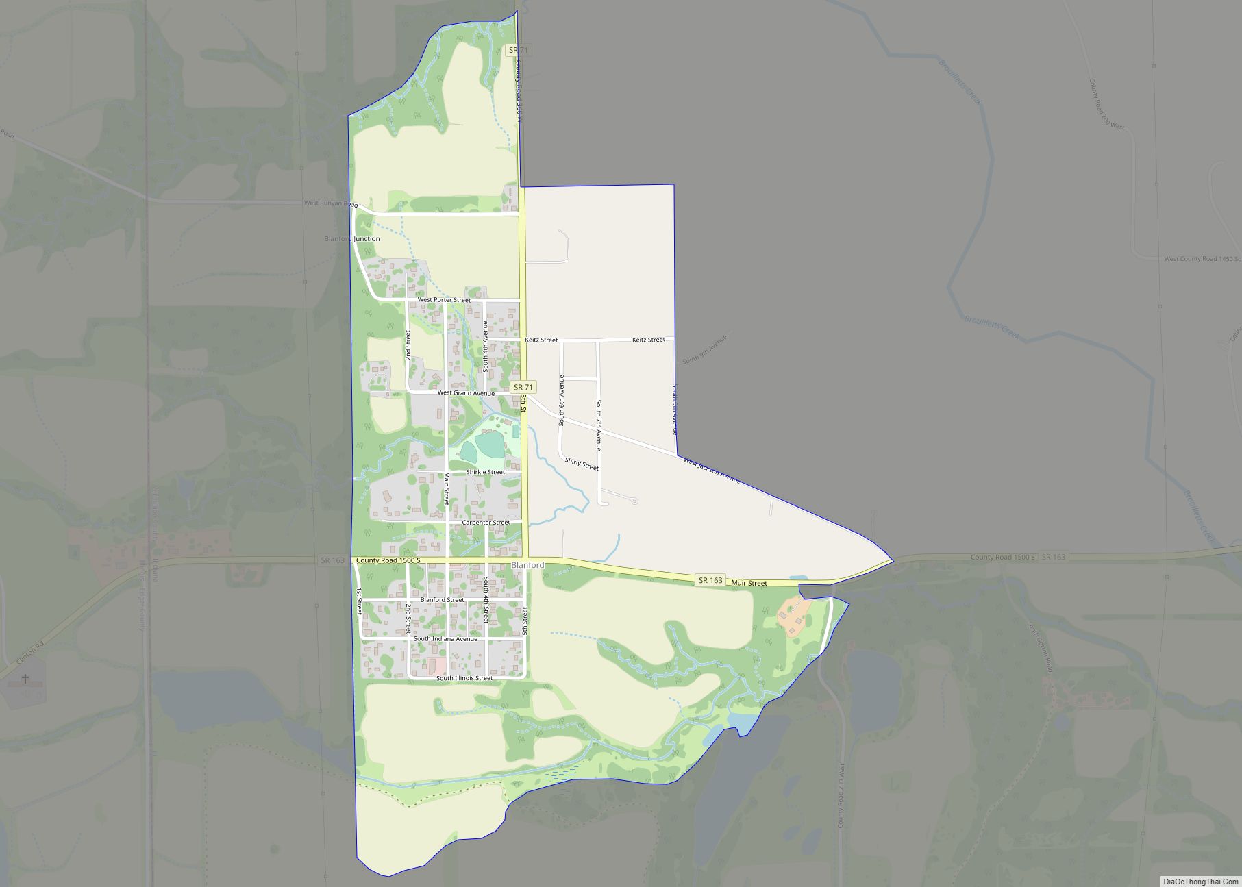
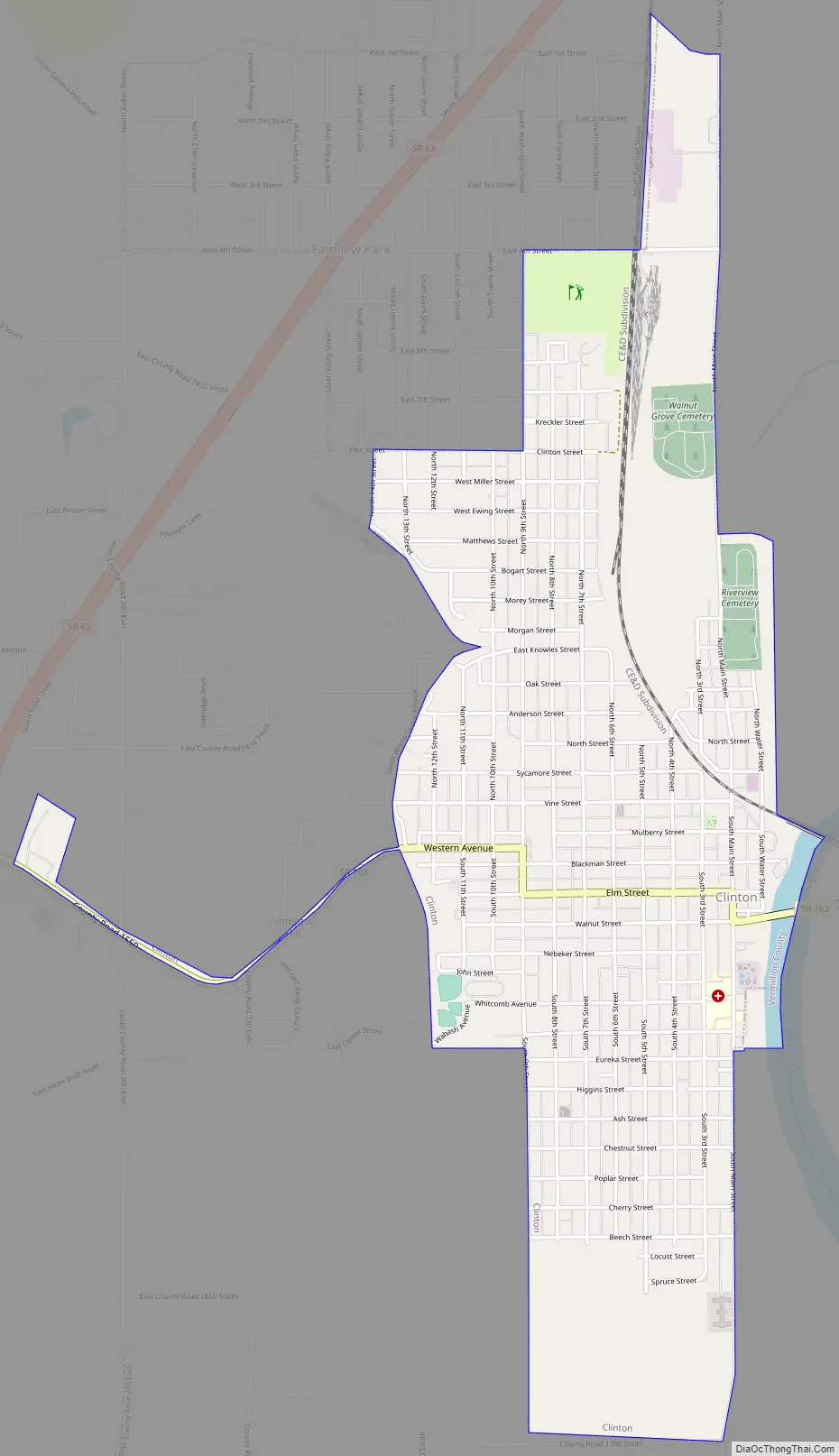
Clinton Road Map
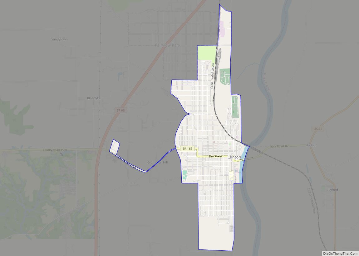
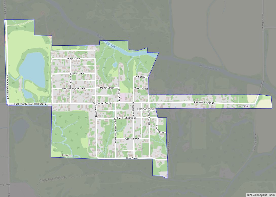
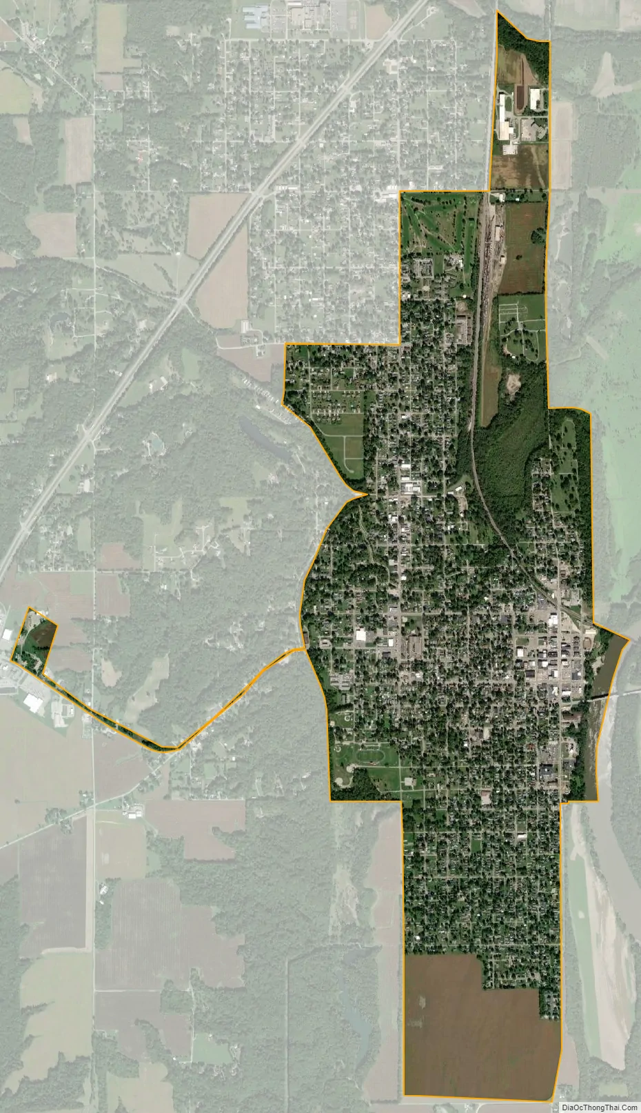
Clinton city Satellite Map
Geography
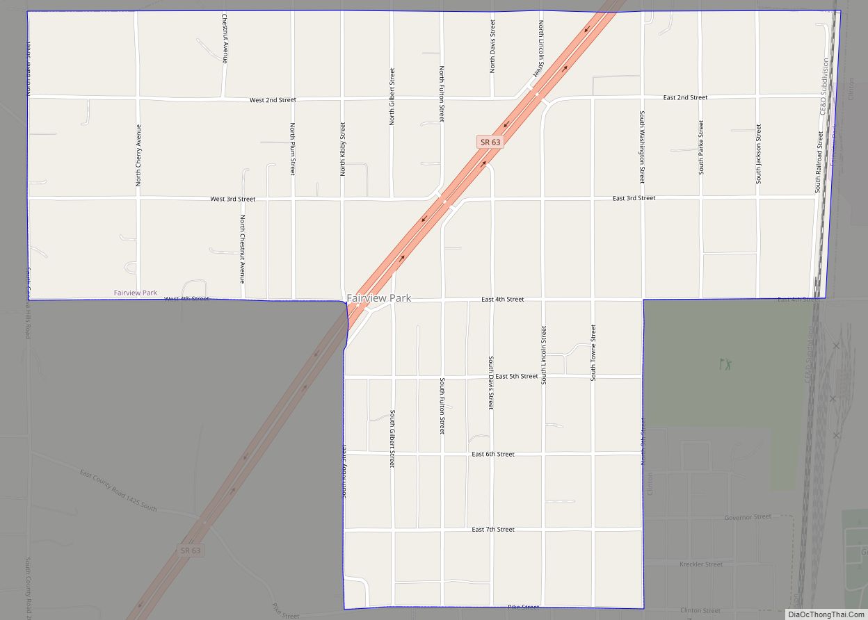
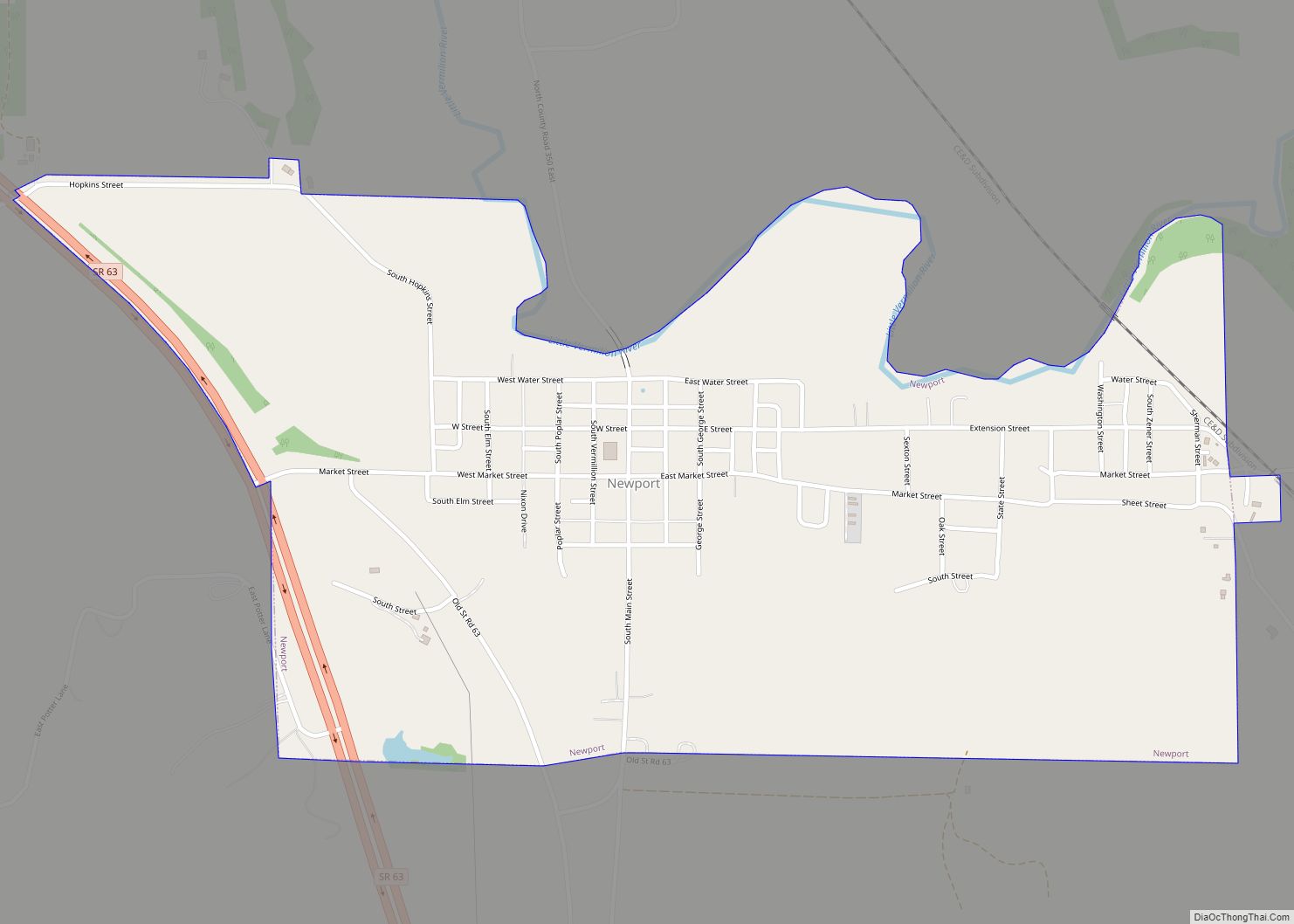
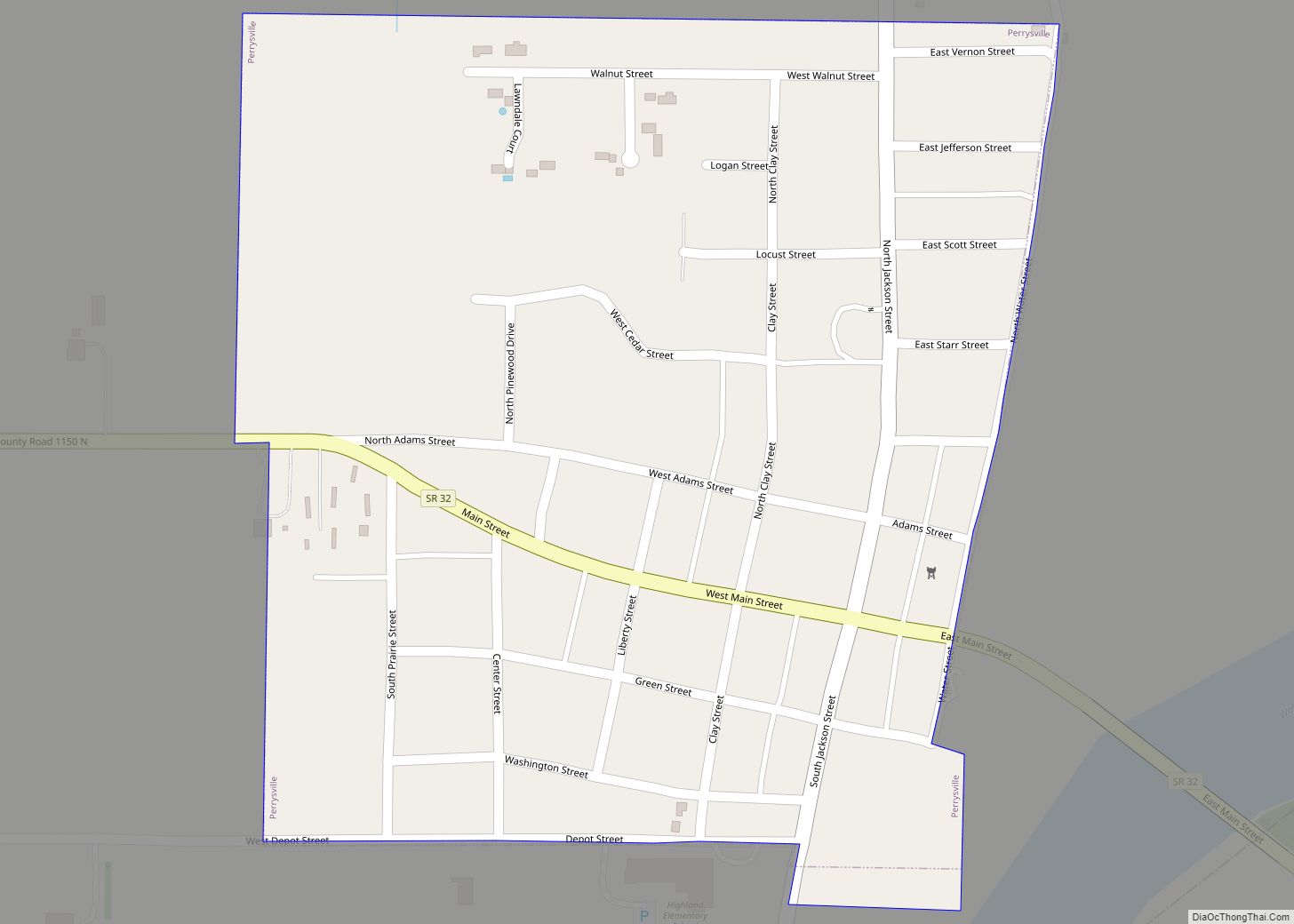
Clinton is located in the southern part of the county along the Wabash River, near the intersection of State Road 63 (which passes just west of the city) and State Road 163 (which passes through the city). U.S. Route 41 lies just to the east of the city, across the river in neighboring Parke County. The smaller town of Fairview Park is adjacent to Clinton on the north side of the city.
According to the United States Census Bureau, Clinton has a total area of 2.259 square miles (5.85 km), of which 2.24 square miles (5.80 km) (or 99.16%) is land and 0.019 square miles (0.05 km) (or 0.84%) is water.
Highways
Indiana State Road 163 The Highway runs through Clinton, and takes streets Walnut, Main, Elm, 9th, Western and Hazel Bluff Rd.
See also
Map of Indiana State and its subdivision:- Adams
- Allen
- Bartholomew
- Benton
- Blackford
- Boone
- Brown
- Carroll
- Cass
- Clark
- Clay
- Clinton
- Crawford
- Daviess
- De Kalb
- Dearborn
- Decatur
- Delaware
- Dubois
- Elkhart
- Fayette
- Floyd
- Fountain
- Franklin
- Fulton
- Gibson
- Grant
- Greene
- Hamilton
- Hancock
- Harrison
- Hendricks
- Henry
- Howard
- Huntington
- Jackson
- Jasper
- Jay
- Jefferson
- Jennings
- Johnson
- Knox
- Kosciusko
- LaGrange
- Lake
- Lake Michigan
- LaPorte
- Lawrence
- Madison
- Marion
- Marshall
- Martin
- Miami
- Monroe
- Montgomery
- Morgan
- Newton
- Noble
- Ohio
- Orange
- Owen
- Parke
- Perry
- Pike
- Porter
- Posey
- Pulaski
- Putnam
- Randolph
- Ripley
- Rush
- Saint Joseph
- Scott
- Shelby
- Spencer
- Starke
- Steuben
- Sullivan
- Switzerland
- Tippecanoe
- Tipton
- Union
- Vanderburgh
- Vermillion
- Vigo
- Wabash
- Warren
- Warrick
- Washington
- Wayne
- Wells
- White
- Whitley
- Alabama
- Alaska
- Arizona
- Arkansas
- California
- Colorado
- Connecticut
- Delaware
- District of Columbia
- Florida
- Georgia
- Hawaii
- Idaho
- Illinois
- Indiana
- Iowa
- Kansas
- Kentucky
- Louisiana
- Maine
- Maryland
- Massachusetts
- Michigan
- Minnesota
- Mississippi
- Missouri
- Montana
- Nebraska
- Nevada
- New Hampshire
- New Jersey
- New Mexico
- New York
- North Carolina
- North Dakota
- Ohio
- Oklahoma
- Oregon
- Pennsylvania
- Rhode Island
- South Carolina
- South Dakota
- Tennessee
- Texas
- Utah
- Vermont
- Virginia
- Washington
- West Virginia
- Wisconsin
- Wyoming