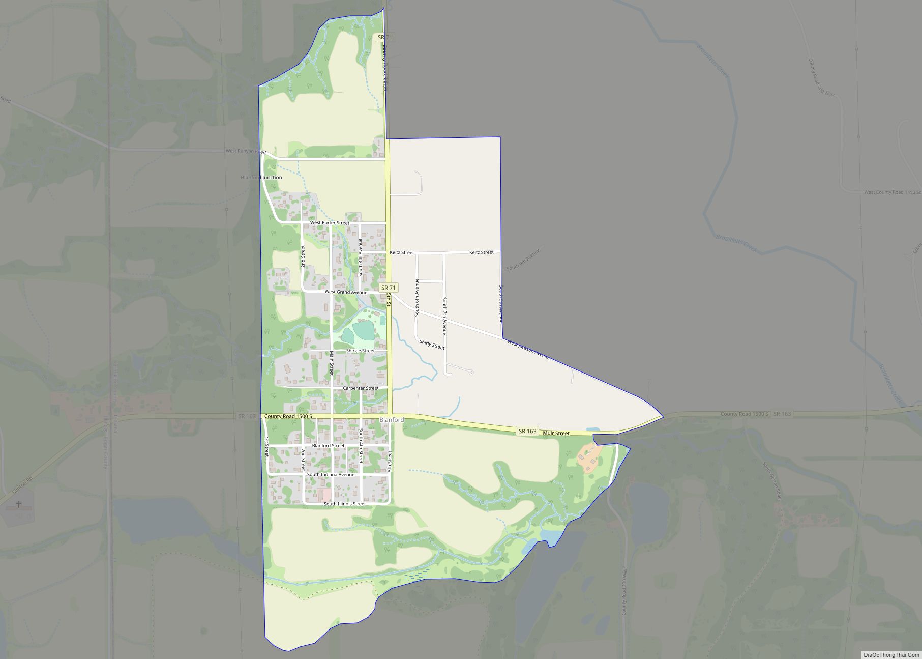
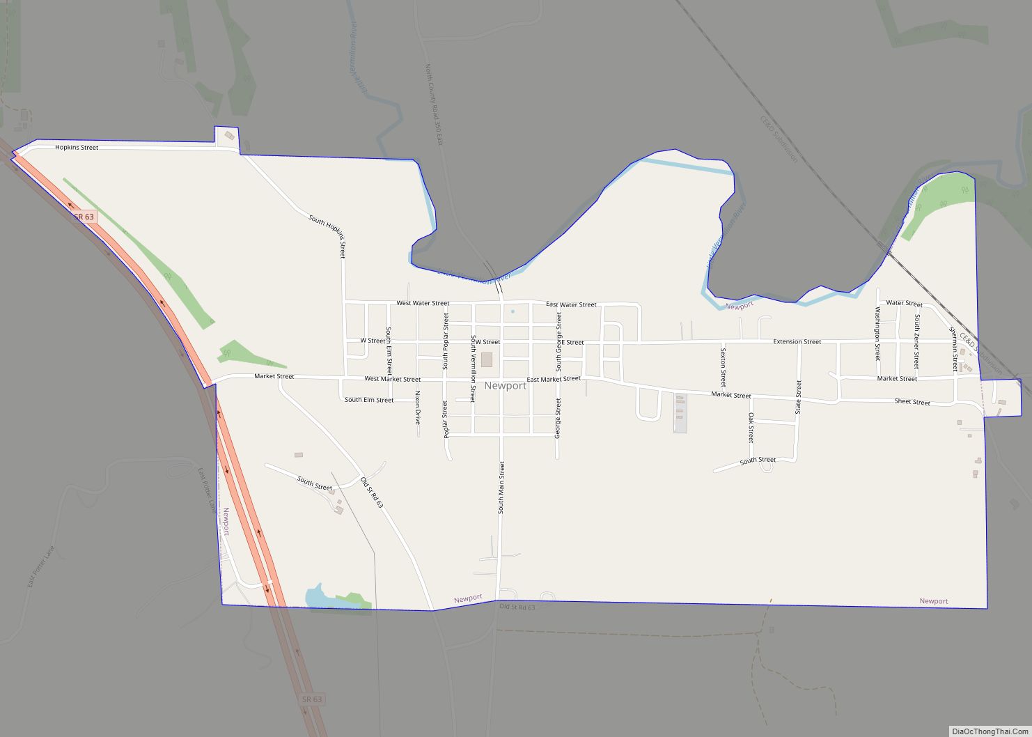
Newport is a town in Vermillion Township, Vermillion County, in the U.S. state of Indiana. The population was 515 at the 2010 census. The town is the county seat of Vermillion County.
| Name: | Newport town |
|---|---|
| LSAD Code: | 43 |
| LSAD Description: | town (suffix) |
| State: | Indiana |
| County: | Vermillion County |
| Elevation: | 528 ft (161 m) |
| Total Area: | 0.87 sq mi (2.26 km²) |
| Land Area: | 0.87 sq mi (2.26 km²) |
| Water Area: | 0.00 sq mi (0.00 km²) |
| Total Population: | 416 |
| Population Density: | 477.06/sq mi (184.27/km²) |
| ZIP code: | 47966 |
| Area code: | 765 |
| FIPS code: | 1853496 |
| GNISfeature ID: | 440148 |
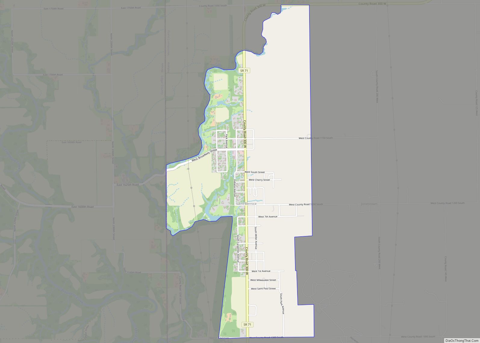
Online Interactive Map
Click on ![]() to view map in "full screen" mode.
to view map in "full screen" mode.
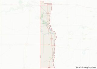
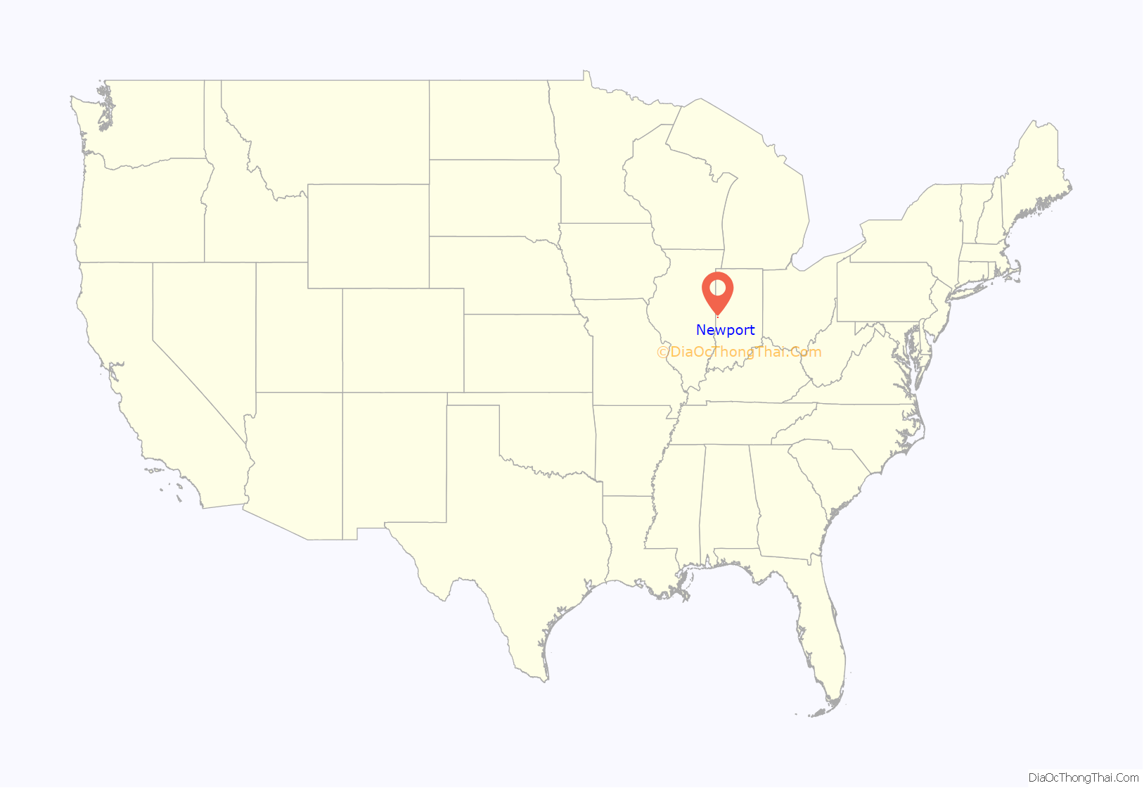
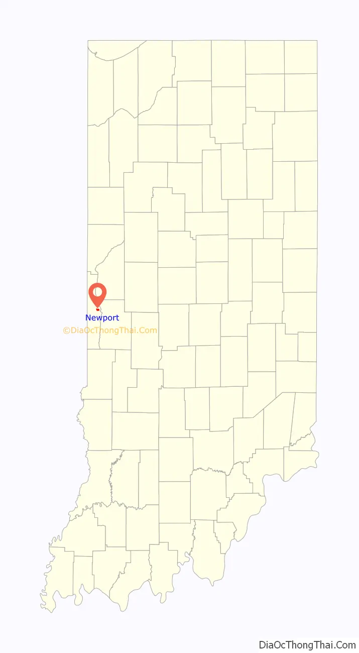
Newport location map. Where is Newport town?
History
A post office has been in operation at Newport since 1820. Newport was platted in 1828.
The Vermillion County Courthouse and Vermillion County Jail and Sheriff’s Residence are listed on the National Register of Historic Places. Although the plutonium production plants at Hanford would eventually use graphite as a “moderator” to slow and control the fission process, Manhattan Project officials also pursued heavy water as an alternative option. A feasibility report conducted by the DuPont Company in November 1942 also rated heavy water as an acceptable cooling system, second best only to helium.
This information was brought to the attention of Harold Urey, a Manhattan Project scientist who had won the 1934 Nobel Prize in Chemistry for his discovery of deuterium, an isotope of hydrogen. Urey imagined a nuclear chain-reactor pile built as a “homogeneous” system with heavy water as both the moderator and cooler. It could function with a simple pump device, a much simpler design than the complex helium-cooled graphite pile. Urey believed such a pile could be built with only 10 tons of heavy water.
The Manhattan Project soon contracted DuPont to build heavy water plants at three sites where ordnance works were already under construction: the Morgantown Ordnance Works near Morgantown, West Virginia; at the Wabash River Ordnance Works, near Newport, Indiana; and at the Alabama Ordnance Works, near Sylacauga, Alabama. For security reasons, the plants had to be administered directly by Manhattan Project officials while the Ordnance Department was, according to Colonel James Marshall, “not to be involved in the design or knowledge of use of the product.” The three plants would collectively produce three tons of heavy water per month.
Construction at the Wabash River Ordnance Works started on January 23, 1943 and was fully completed on December 13, 1943. [6]
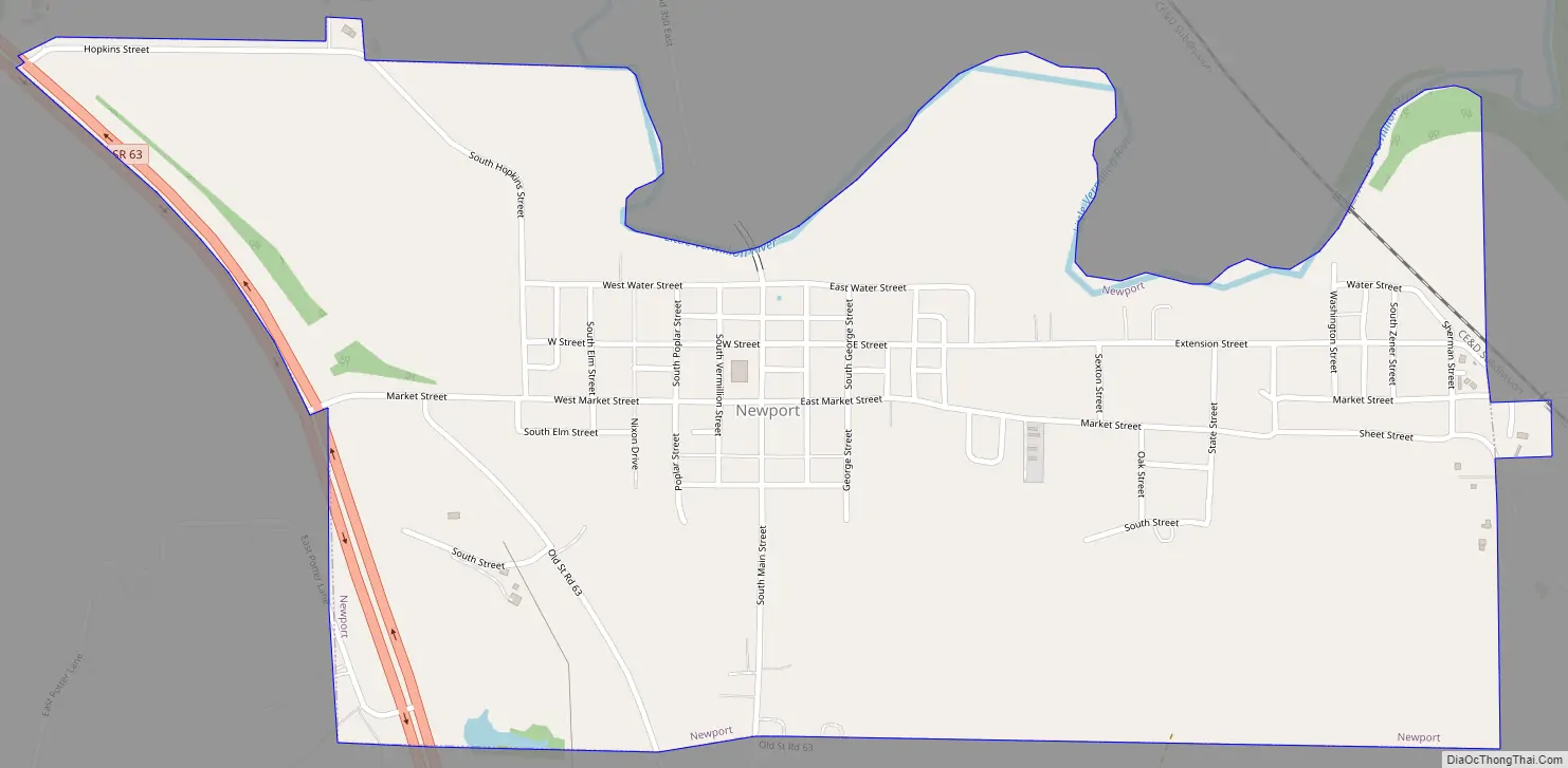
Newport Road Map
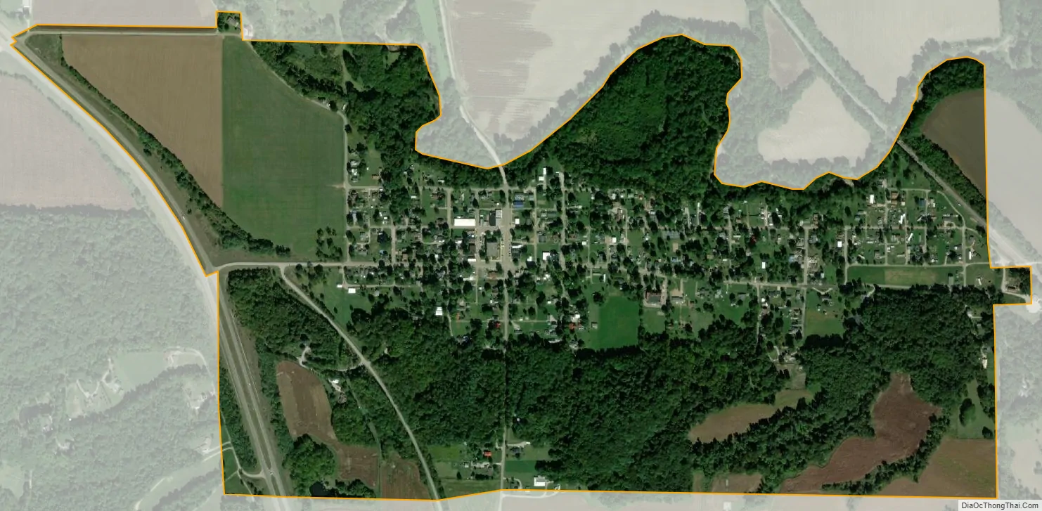
Newport city Satellite Map
Geography
Newport is located at the confluence of the Little Vermilion and Wabash rivers along Indiana State Road 63, about halfway between the county’s north and south borders.
According to the 2010 census, Newport has a total area of 0.87 square miles (2.25 km), all land.
See also
Map of Indiana State and its subdivision:- Adams
- Allen
- Bartholomew
- Benton
- Blackford
- Boone
- Brown
- Carroll
- Cass
- Clark
- Clay
- Clinton
- Crawford
- Daviess
- De Kalb
- Dearborn
- Decatur
- Delaware
- Dubois
- Elkhart
- Fayette
- Floyd
- Fountain
- Franklin
- Fulton
- Gibson
- Grant
- Greene
- Hamilton
- Hancock
- Harrison
- Hendricks
- Henry
- Howard
- Huntington
- Jackson
- Jasper
- Jay
- Jefferson
- Jennings
- Johnson
- Knox
- Kosciusko
- LaGrange
- Lake
- Lake Michigan
- LaPorte
- Lawrence
- Madison
- Marion
- Marshall
- Martin
- Miami
- Monroe
- Montgomery
- Morgan
- Newton
- Noble
- Ohio
- Orange
- Owen
- Parke
- Perry
- Pike
- Porter
- Posey
- Pulaski
- Putnam
- Randolph
- Ripley
- Rush
- Saint Joseph
- Scott
- Shelby
- Spencer
- Starke
- Steuben
- Sullivan
- Switzerland
- Tippecanoe
- Tipton
- Union
- Vanderburgh
- Vermillion
- Vigo
- Wabash
- Warren
- Warrick
- Washington
- Wayne
- Wells
- White
- Whitley
- Alabama
- Alaska
- Arizona
- Arkansas
- California
- Colorado
- Connecticut
- Delaware
- District of Columbia
- Florida
- Georgia
- Hawaii
- Idaho
- Illinois
- Indiana
- Iowa
- Kansas
- Kentucky
- Louisiana
- Maine
- Maryland
- Massachusetts
- Michigan
- Minnesota
- Mississippi
- Missouri
- Montana
- Nebraska
- Nevada
- New Hampshire
- New Jersey
- New Mexico
- New York
- North Carolina
- North Dakota
- Ohio
- Oklahoma
- Oregon
- Pennsylvania
- Rhode Island
- South Carolina
- South Dakota
- Tennessee
- Texas
- Utah
- Vermont
- Virginia
- Washington
- West Virginia
- Wisconsin
- Wyoming