Westfield is a city in Hamilton County, Indiana, United States. As of the 2010 census the population was 30,068, and in 2020 the population was 46,410. Westfield is in the Indianapolis metropolitan area.
| Name: | Westfield city |
|---|---|
| LSAD Code: | 25 |
| LSAD Description: | city (suffix) |
| State: | Indiana |
| County: | Hamilton County |
| Founded: | 1834 |
| Elevation: | 886 ft (270 m) |
| Total Area: | 32.10 sq mi (83.14 km²) |
| Land Area: | 31.88 sq mi (82.57 km²) |
| Water Area: | 0.22 sq mi (0.57 km²) |
| Total Population: | 46,410 |
| Population Density: | 1,455.77/sq mi (562.08/km²) |
| ZIP code: | 46074, 46032 (part), 46033 (part), 46062 (part) |
| Area code: | 317 |
| FIPS code: | 1882700 |
| GNISfeature ID: | 0445833 |
| Website: | westfield.in.gov |
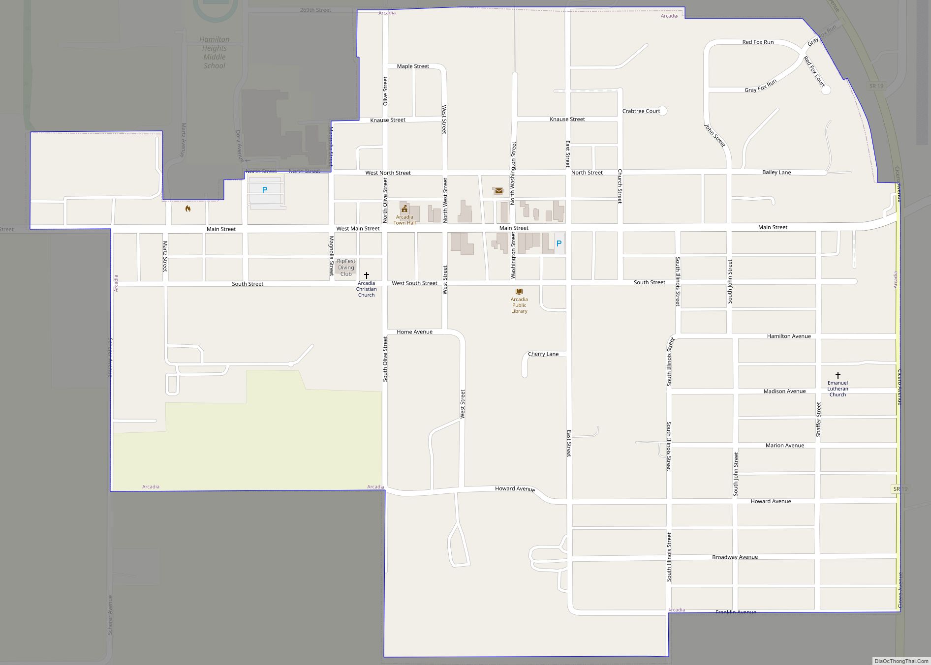
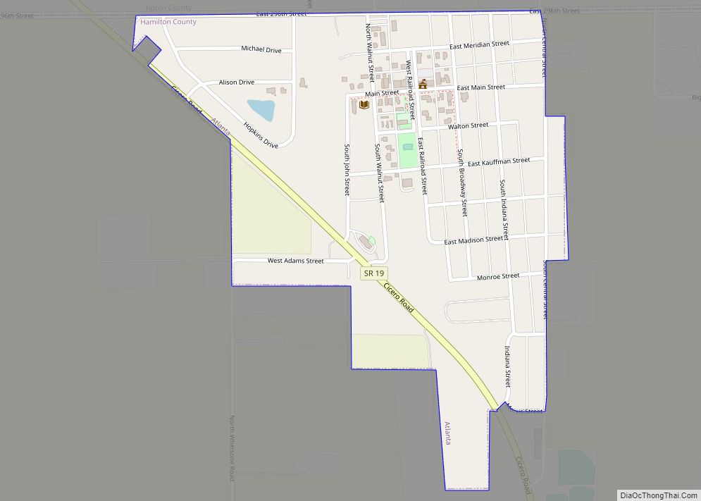
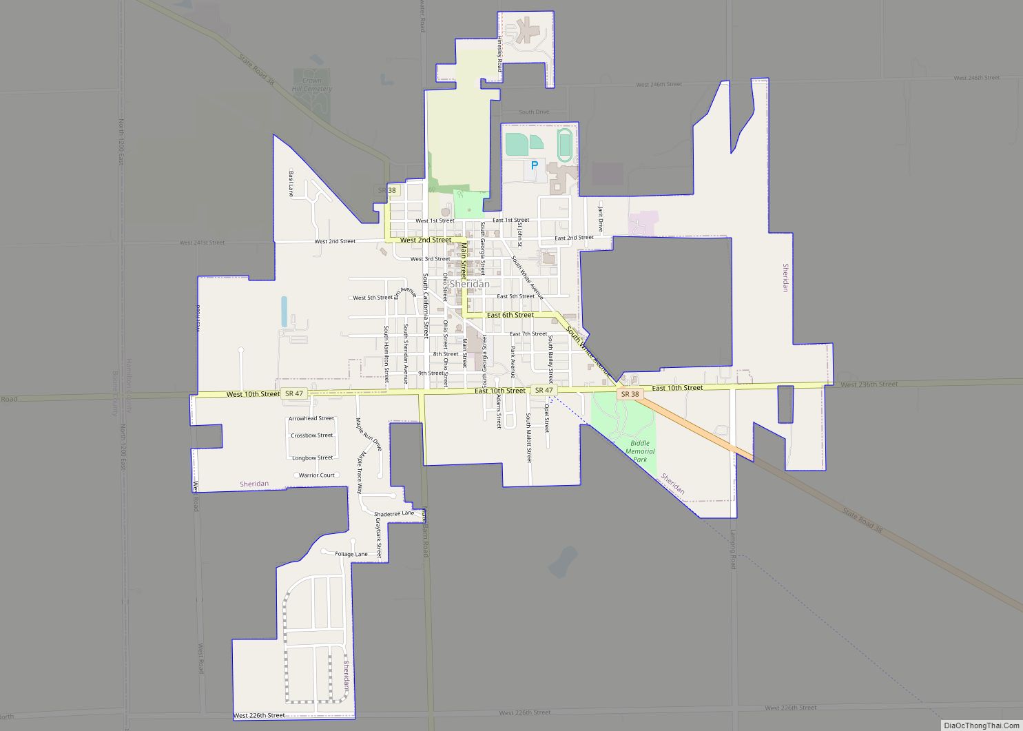
Online Interactive Map
Click on ![]() to view map in "full screen" mode.
to view map in "full screen" mode.
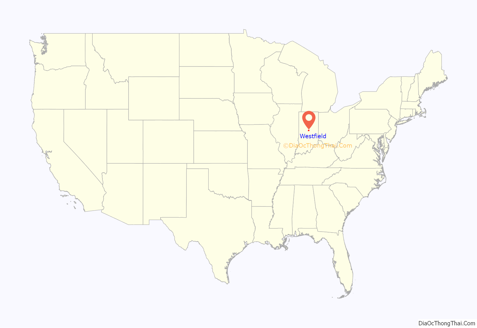
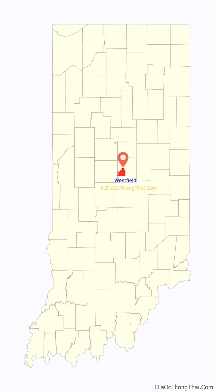
Westfield location map. Where is Westfield city?
History
Westfield was founded on May 6, 1834, by North Carolina Quakers Asa Bales, Ambrose Osborne, and Simon Moon. It is believed that the town was planned as a stop on the Underground Railroad with many families of the Religious Society of Friends and the Wesleyan Methodist Church supporting the cause. When the laws against aiding escaped slaves were made harsher, part of the Westfield Quaker Friends Meeting House split off into the Anti-Slavery Friends meeting.
Westfield was incorporated as a town in 1849.
On January 1, 2008, Westfield was incorporated as a city, and Andy Cook was sworn in as mayor. With recent annexations in southern Washington Township and rapid population growth in areas previously within the town limits, the city population in 2010 (30,068) was more than triple that of 2000 (9,293). Because of the growing size of the city, officials are planning a major revitalization of city’s downtown. New additions to downtown Westfield are expected to include a new library and city hall.
Westfield recently annexed the community of Jolietville into its borders.
The Union High Academy Historic District was listed on the National Register of Historic Places in 1995.
In 2014, the city opened Grand Park Sports Complex which hosted the 2016 Big Ten Conference Men’s Soccer Tournament.
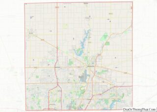
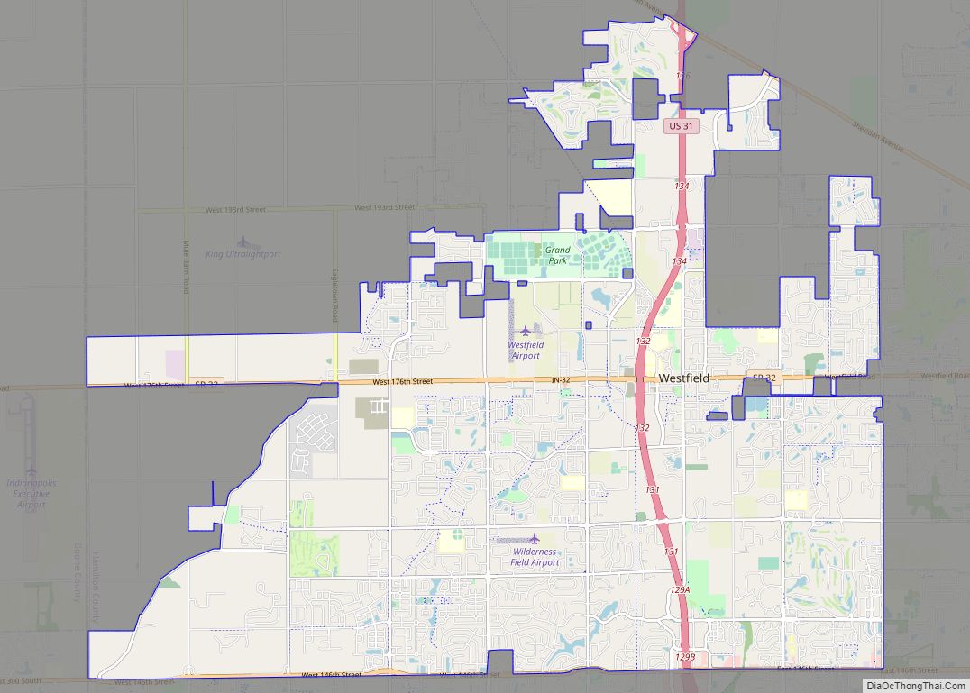
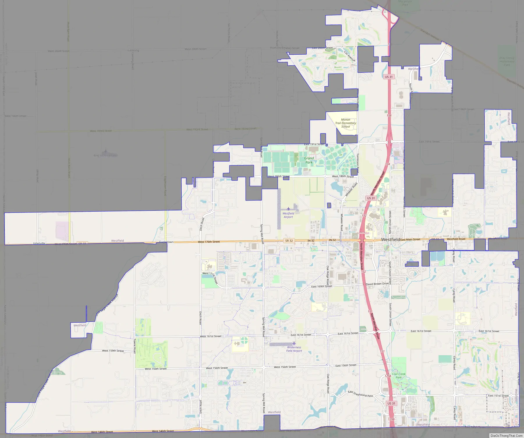
Westfield Road Map
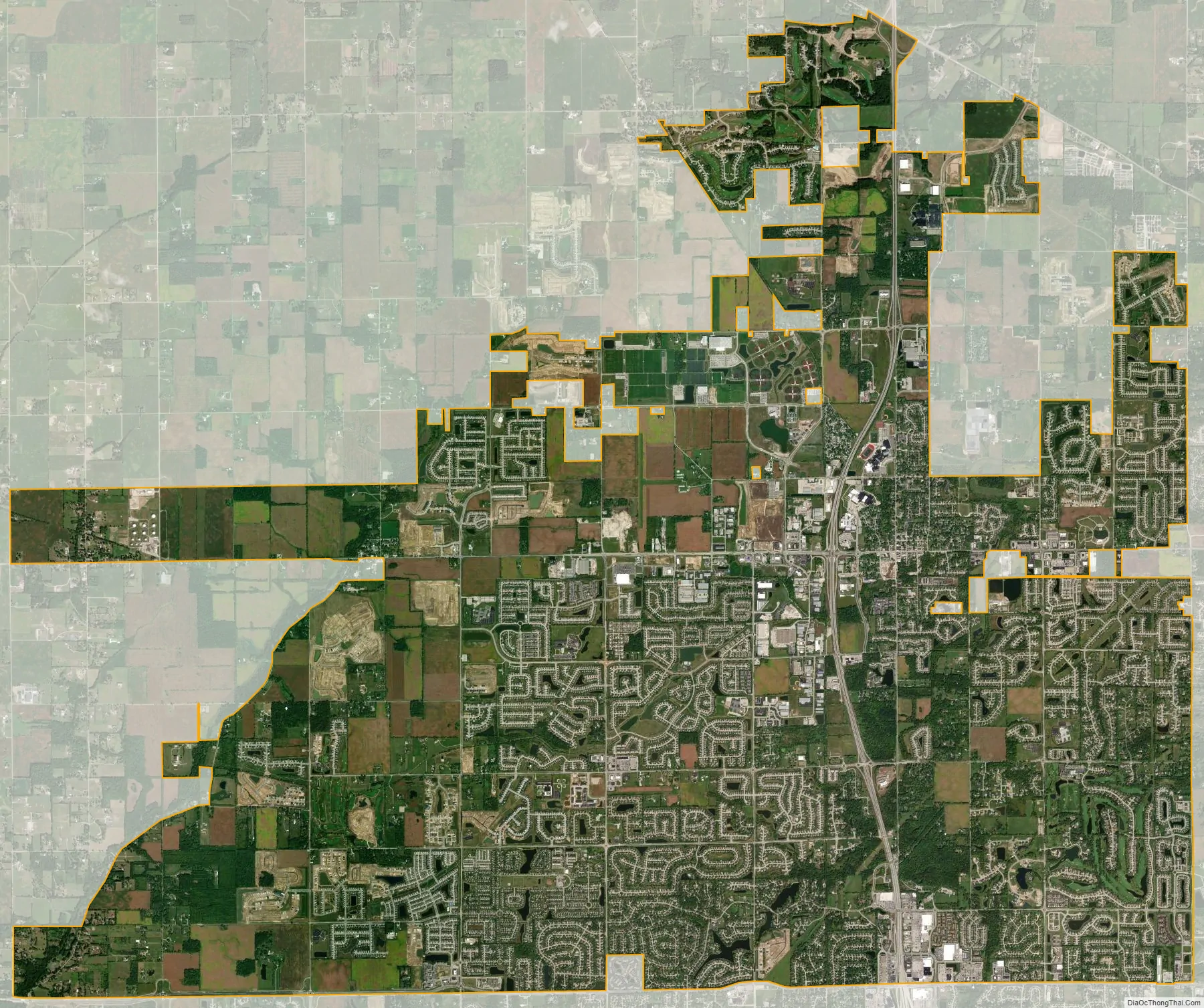
Westfield city Satellite Map
Geography
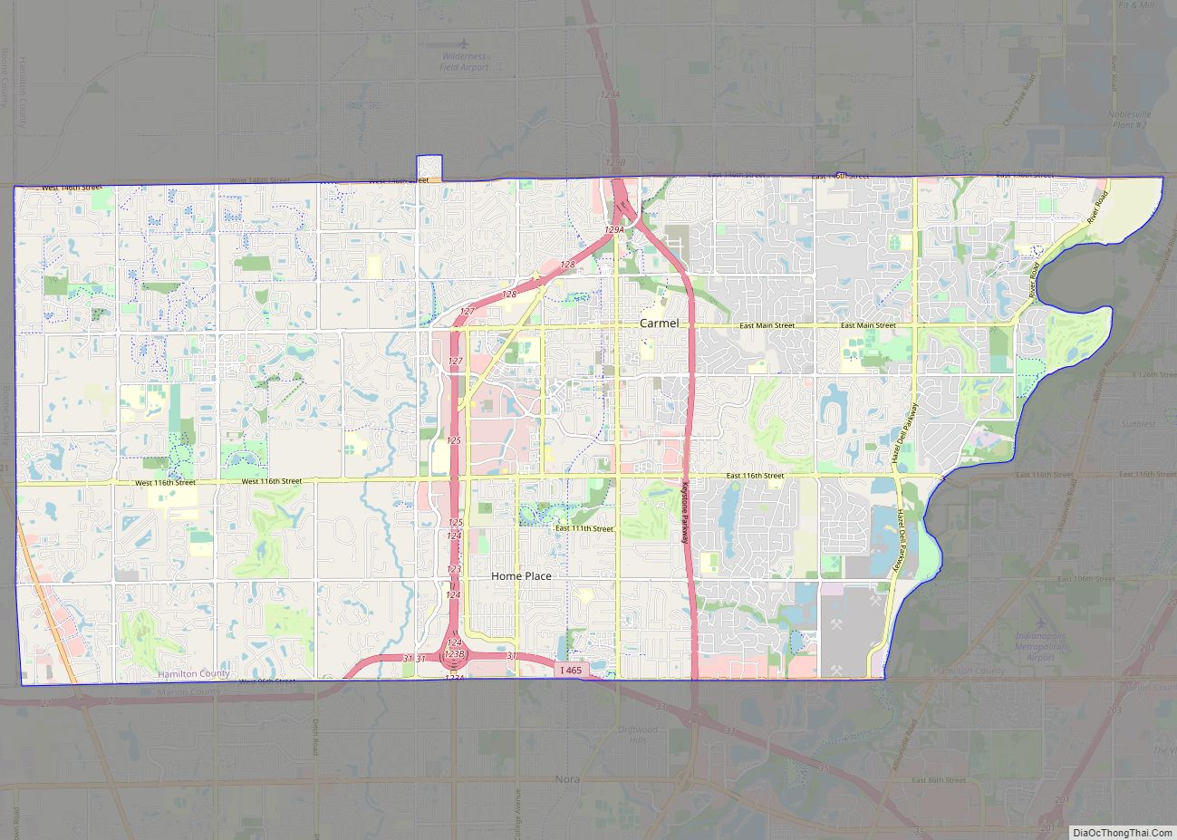
Westfield is located in western Hamilton County. It is bordered to the east by Noblesville and to the south by Carmel. To the west it is bordered by Zionsville in Boone County.
U.S. Route 31 is the main highway through the city, leading north 31 miles (50 km) to Kokomo and south 9 miles (14 km) to Interstate 465, the beltway around Indianapolis. Downtown Indianapolis is 20 miles (32 km) south of the center of Westfield. Indiana State Road 32 is Westfield’s Main Street and leads east 6 miles (10 km) to Noblesville, the county seat, and west 18 miles (29 km) to Lebanon.
According to the 2010 census, Westfield has a total area of 27.081 square miles (70.14 km), of which 26.84 square miles (69.52 km) (or 99.11%) is land and 0.241 square miles (0.62 km) (or 0.89%) is water.
See also
Map of Indiana State and its subdivision:- Adams
- Allen
- Bartholomew
- Benton
- Blackford
- Boone
- Brown
- Carroll
- Cass
- Clark
- Clay
- Clinton
- Crawford
- Daviess
- De Kalb
- Dearborn
- Decatur
- Delaware
- Dubois
- Elkhart
- Fayette
- Floyd
- Fountain
- Franklin
- Fulton
- Gibson
- Grant
- Greene
- Hamilton
- Hancock
- Harrison
- Hendricks
- Henry
- Howard
- Huntington
- Jackson
- Jasper
- Jay
- Jefferson
- Jennings
- Johnson
- Knox
- Kosciusko
- LaGrange
- Lake
- Lake Michigan
- LaPorte
- Lawrence
- Madison
- Marion
- Marshall
- Martin
- Miami
- Monroe
- Montgomery
- Morgan
- Newton
- Noble
- Ohio
- Orange
- Owen
- Parke
- Perry
- Pike
- Porter
- Posey
- Pulaski
- Putnam
- Randolph
- Ripley
- Rush
- Saint Joseph
- Scott
- Shelby
- Spencer
- Starke
- Steuben
- Sullivan
- Switzerland
- Tippecanoe
- Tipton
- Union
- Vanderburgh
- Vermillion
- Vigo
- Wabash
- Warren
- Warrick
- Washington
- Wayne
- Wells
- White
- Whitley
- Alabama
- Alaska
- Arizona
- Arkansas
- California
- Colorado
- Connecticut
- Delaware
- District of Columbia
- Florida
- Georgia
- Hawaii
- Idaho
- Illinois
- Indiana
- Iowa
- Kansas
- Kentucky
- Louisiana
- Maine
- Maryland
- Massachusetts
- Michigan
- Minnesota
- Mississippi
- Missouri
- Montana
- Nebraska
- Nevada
- New Hampshire
- New Jersey
- New Mexico
- New York
- North Carolina
- North Dakota
- Ohio
- Oklahoma
- Oregon
- Pennsylvania
- Rhode Island
- South Carolina
- South Dakota
- Tennessee
- Texas
- Utah
- Vermont
- Virginia
- Washington
- West Virginia
- Wisconsin
- Wyoming