Danville is a town in and the county seat of Hendricks County, Indiana, United States. The population was 9,001 at the 2010 census, up from 6,418 at the 2000 census. In 2019 the estimated population was 10,126.
| Name: | Danville town |
|---|---|
| LSAD Code: | 43 |
| LSAD Description: | town (suffix) |
| State: | Indiana |
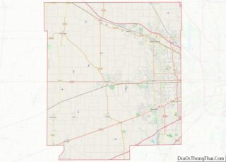
| County: | Hendricks County |
| Elevation: | 951 ft (290 m) |
| Total Area: | 8.80 sq mi (22.80 km²) |
| Land Area: | 8.75 sq mi (22.67 km²) |
| Water Area: | 0.05 sq mi (0.13 km²) |
| Total Population: | 10,559 |
| Population Density: | 1,206.47/sq mi (465.83/km²) |
| ZIP code: | 46122 |
| Area code: | 317 |
| FIPS code: | 1816804 |
| GNISfeature ID: | 0433314 |
| Website: | www.danvilleindiana.org |
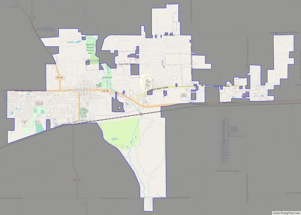
Online Interactive Map
Click on ![]() to view map in "full screen" mode.
to view map in "full screen" mode.
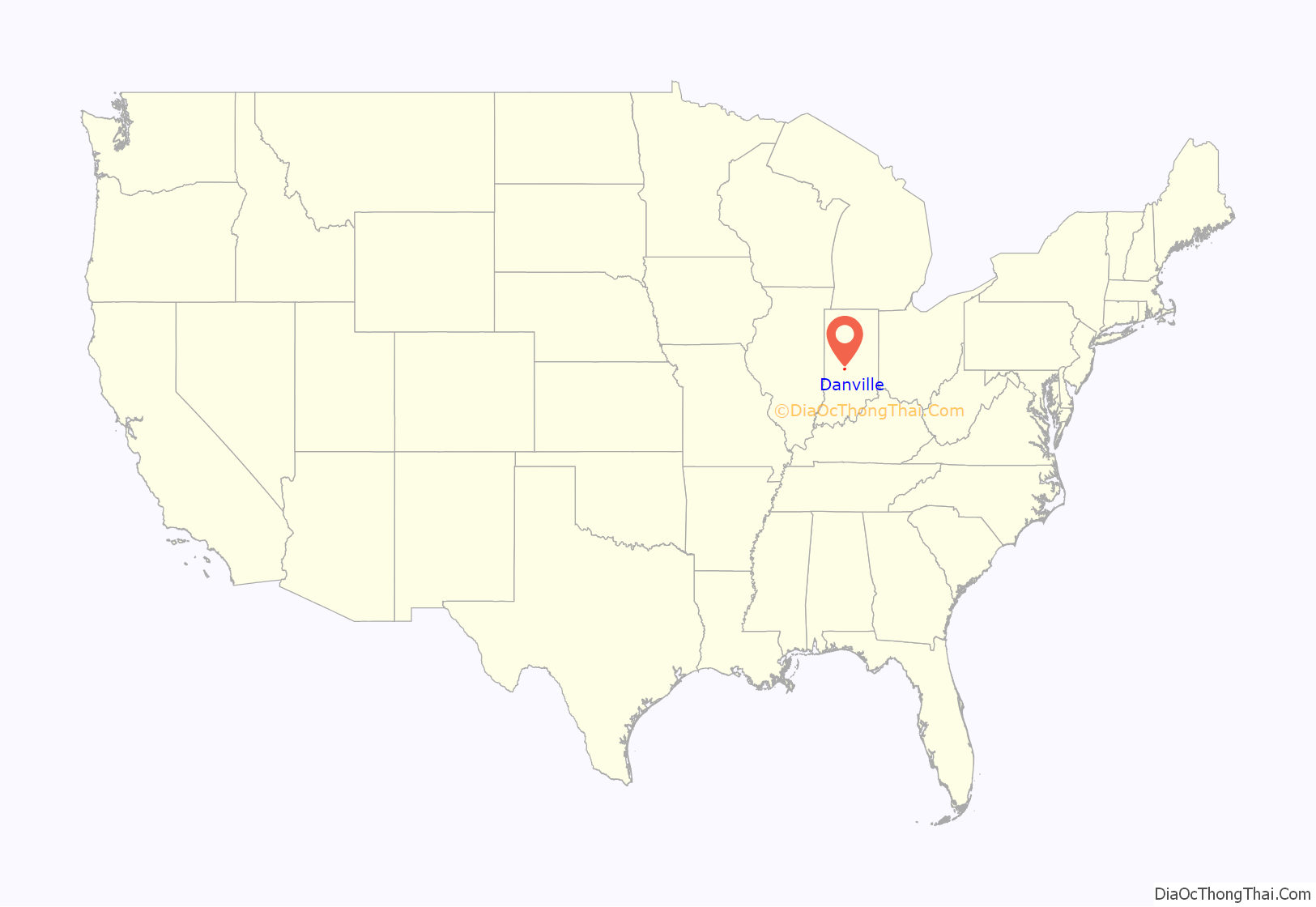
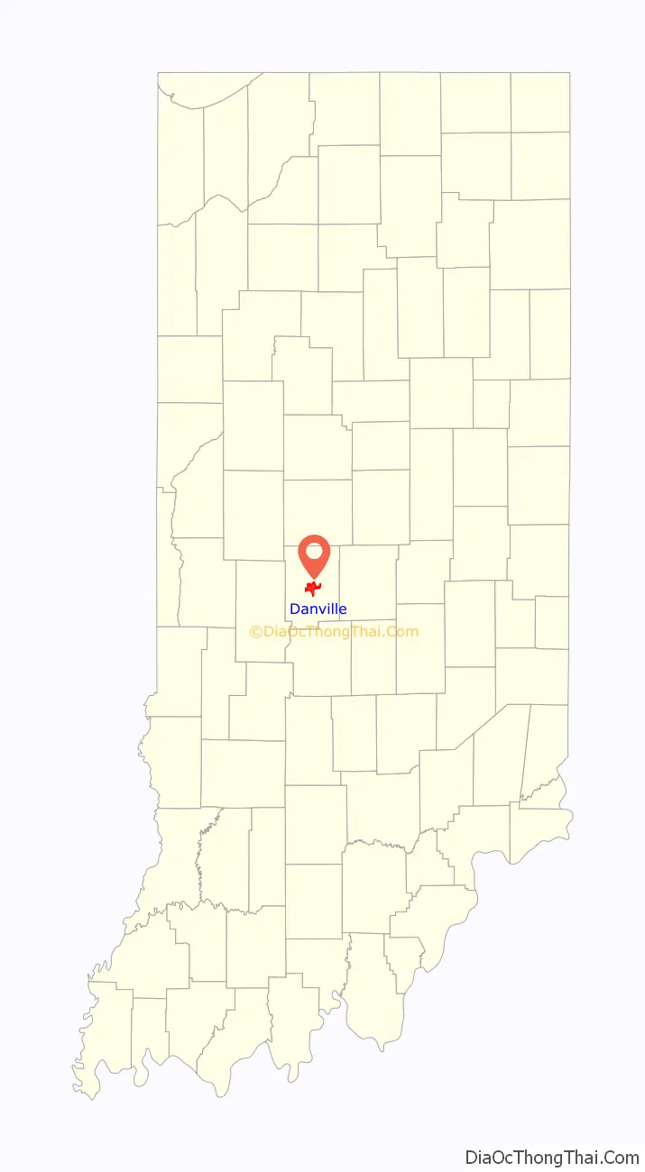
Danville location map. Where is Danville town?
History
Danville was founded in 1824, and its post office one year later. Danville was incorporated as a town in 1835.
The Ora Adams House, Leander Campbell House, Danville Courthouse Square Historic District, Danville Main Street Historic District, Dr. Jeremiah and Ann Jane DePew House, Hendricks County Jail and Sheriff’s Residence, Twin Bridges, and Wilson-Courtney House are listed on the National Register of Historic Places.
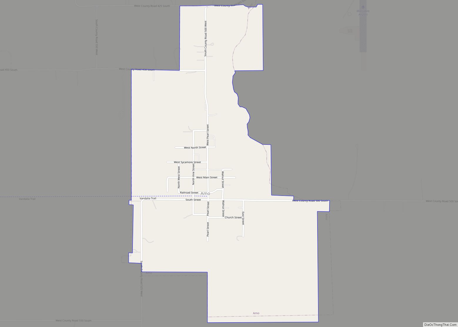
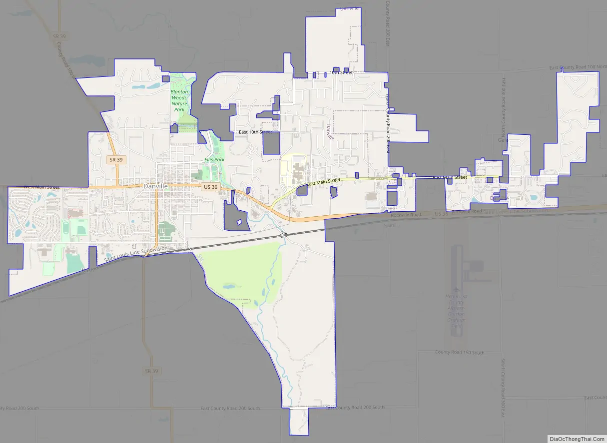
Danville Road Map
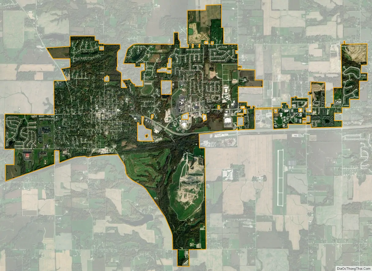
Danville city Satellite Map
Geography
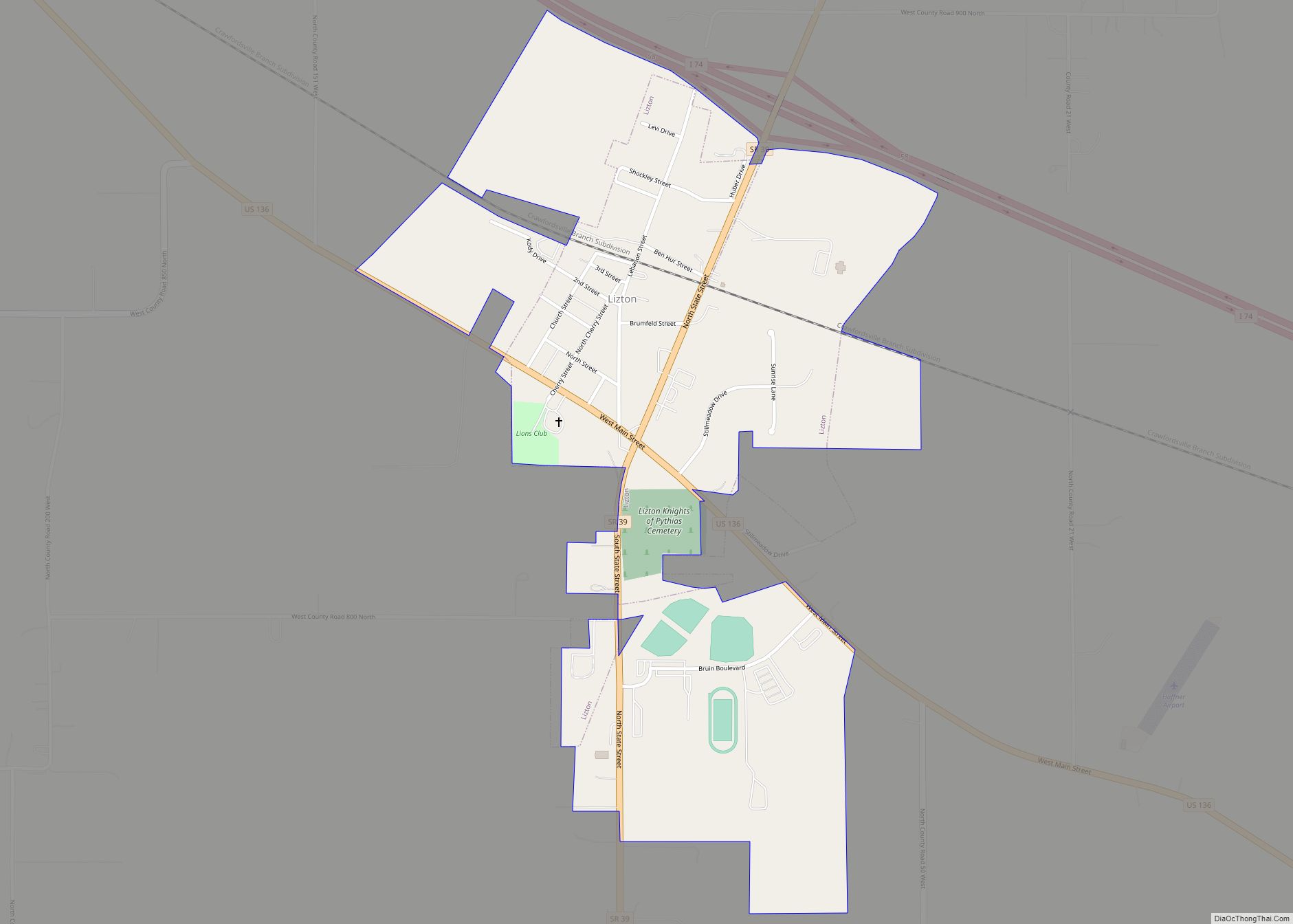
Danville is located at the center of Hendricks County at 39°45′39″N 86°31′4″W / 39.76083°N 86.51778°W / 39.76083; -86.51778 (39.760736, −86.517798). U.S. Route 36 is the town’s Main Street, leading east 20 miles (32 km) to downtown Indianapolis and west 131 miles (211 km) to Decatur, Illinois. Indiana State Road 39 joins US-36 briefly in the center of town but leads north 9 miles (14 km) to Lizton and Interstate 74, and south 11 miles (18 km) to Center Valley and Interstate 70.
According to the 2010 census, Danville has a total area of 6.98 square miles (18.08 km), of which 6.93 square miles (17.95 km) (or 99.28%) is land and 0.05 square miles (0.13 km) (or 0.72%) is water. The West Fork of White Lick Creek, a tributary of the White River, flows north-to-south through the eastern side of the town.
Airport
- 2R2 – Hendricks County Airport
See also
Map of Indiana State and its subdivision:- Adams
- Allen
- Bartholomew
- Benton
- Blackford
- Boone
- Brown
- Carroll
- Cass
- Clark
- Clay
- Clinton
- Crawford
- Daviess
- De Kalb
- Dearborn
- Decatur
- Delaware
- Dubois
- Elkhart
- Fayette
- Floyd
- Fountain
- Franklin
- Fulton
- Gibson
- Grant
- Greene
- Hamilton
- Hancock
- Harrison
- Hendricks
- Henry
- Howard
- Huntington
- Jackson
- Jasper
- Jay
- Jefferson
- Jennings
- Johnson
- Knox
- Kosciusko
- LaGrange
- Lake
- Lake Michigan
- LaPorte
- Lawrence
- Madison
- Marion
- Marshall
- Martin
- Miami
- Monroe
- Montgomery
- Morgan
- Newton
- Noble
- Ohio
- Orange
- Owen
- Parke
- Perry
- Pike
- Porter
- Posey
- Pulaski
- Putnam
- Randolph
- Ripley
- Rush
- Saint Joseph
- Scott
- Shelby
- Spencer
- Starke
- Steuben
- Sullivan
- Switzerland
- Tippecanoe
- Tipton
- Union
- Vanderburgh
- Vermillion
- Vigo
- Wabash
- Warren
- Warrick
- Washington
- Wayne
- Wells
- White
- Whitley
- Alabama
- Alaska
- Arizona
- Arkansas
- California
- Colorado
- Connecticut
- Delaware
- District of Columbia
- Florida
- Georgia
- Hawaii
- Idaho
- Illinois
- Indiana
- Iowa
- Kansas
- Kentucky
- Louisiana
- Maine
- Maryland
- Massachusetts
- Michigan
- Minnesota
- Mississippi
- Missouri
- Montana
- Nebraska
- Nevada
- New Hampshire
- New Jersey
- New Mexico
- New York
- North Carolina
- North Dakota
- Ohio
- Oklahoma
- Oregon
- Pennsylvania
- Rhode Island
- South Carolina
- South Dakota
- Tennessee
- Texas
- Utah
- Vermont
- Virginia
- Washington
- West Virginia
- Wisconsin
- Wyoming