Hobart is a city in Lake County, Indiana, United States. The population was 29,752 at the 2020 census, up from 29,059 in 2010. It has been historically primarily residential, though recent annexation has added a notable retail corridor to the city.
| Name: | Hobart city |
|---|---|
| LSAD Code: | 25 |
| LSAD Description: | city (suffix) |
| State: | Indiana |
| County: | Lake County |
| Elevation: | 623 ft (190 m) |
| Total Area: | 26.57 sq mi (68.81 km²) |
| Land Area: | 26.19 sq mi (67.84 km²) |
| Water Area: | 0.38 sq mi (0.97 km²) |
| Total Population: | 29,752 |
| Population Density: | 1,135.96/sq mi (438.59/km²) |
| ZIP code: | 46342 |
| Area code: | 219 |
| FIPS code: | 1834114 |
| GNISfeature ID: | 0436256 |
| Website: | www.cityofhobart.org |
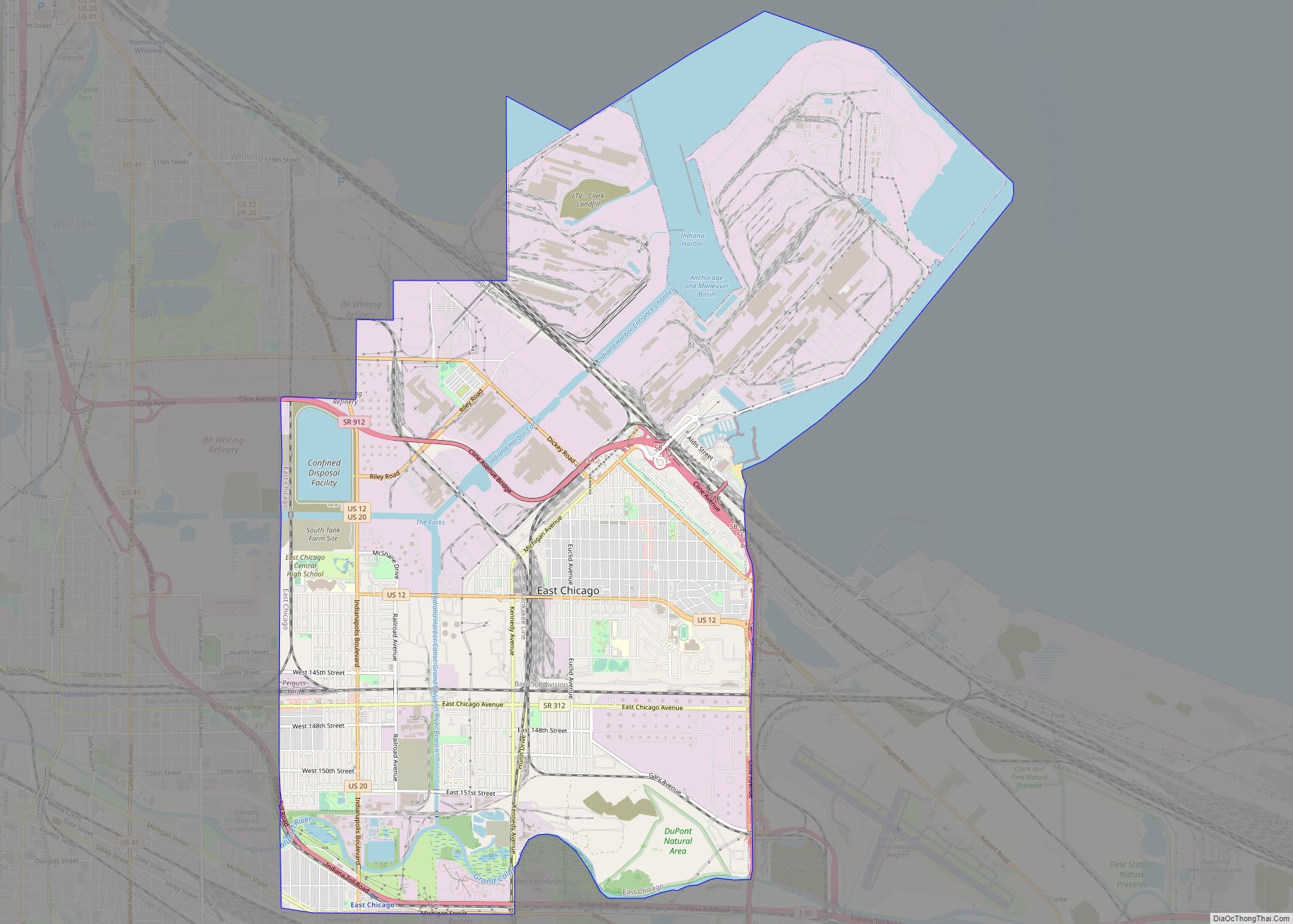
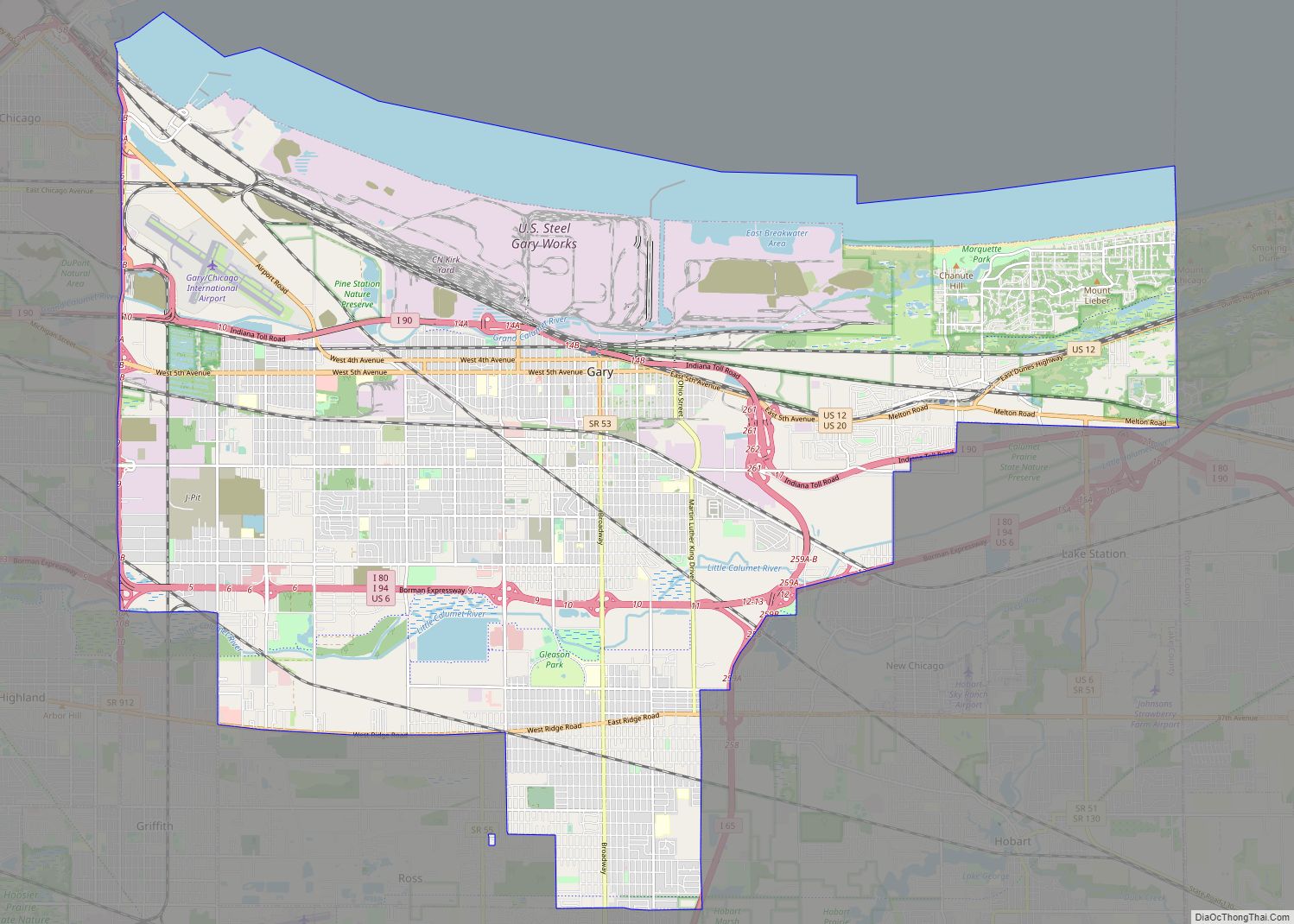
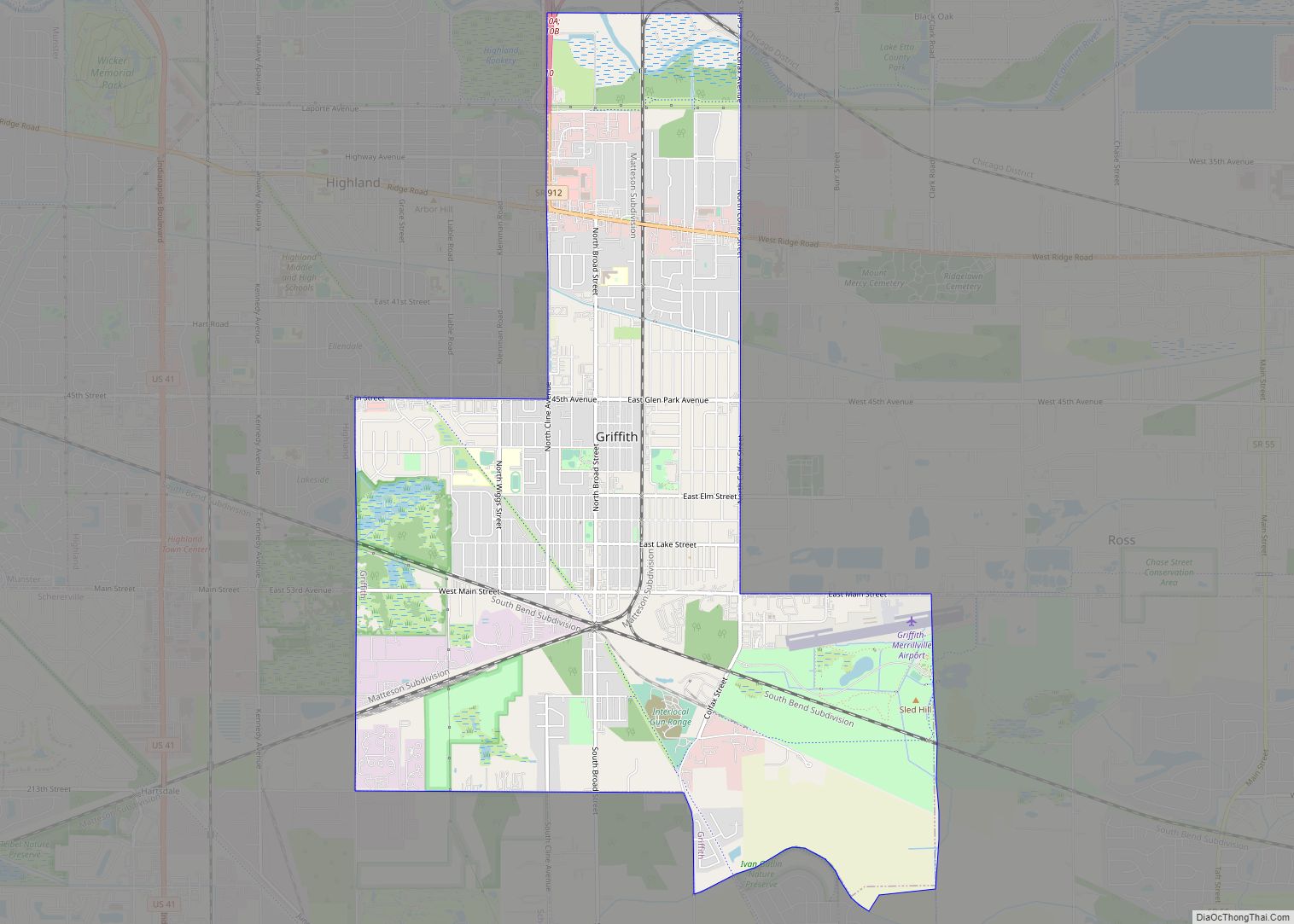
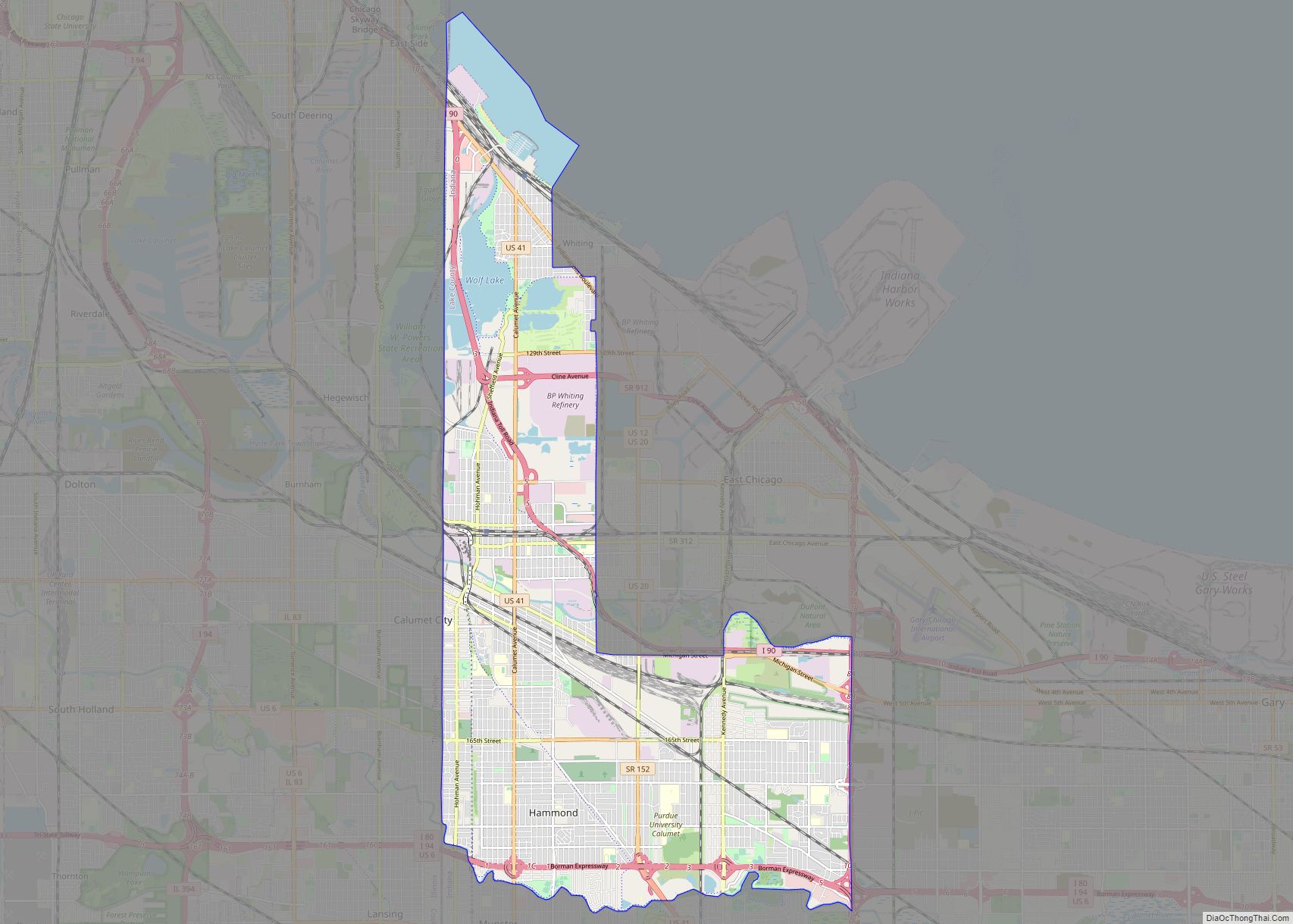
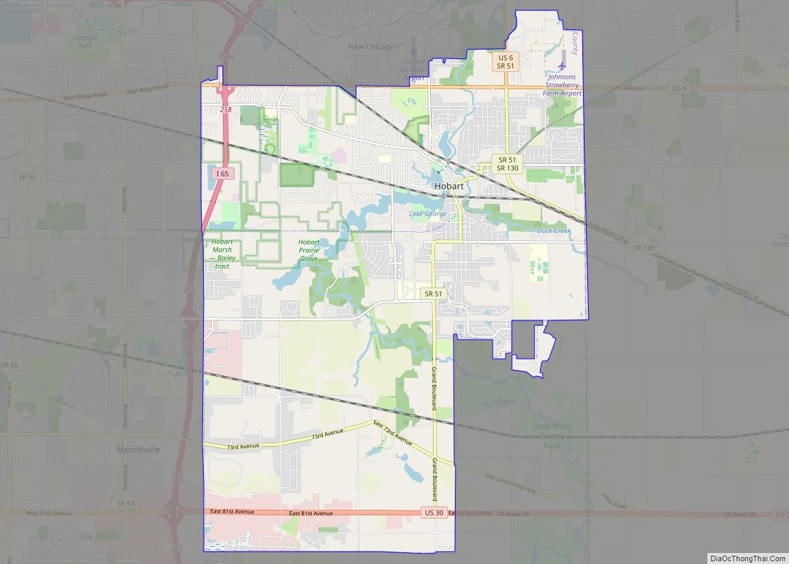
Online Interactive Map
Click on ![]() to view map in "full screen" mode.
to view map in "full screen" mode.
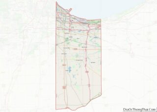
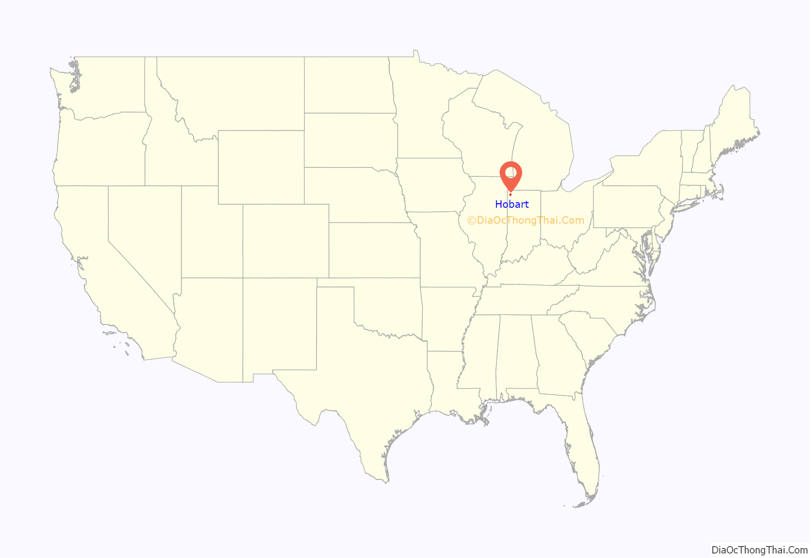
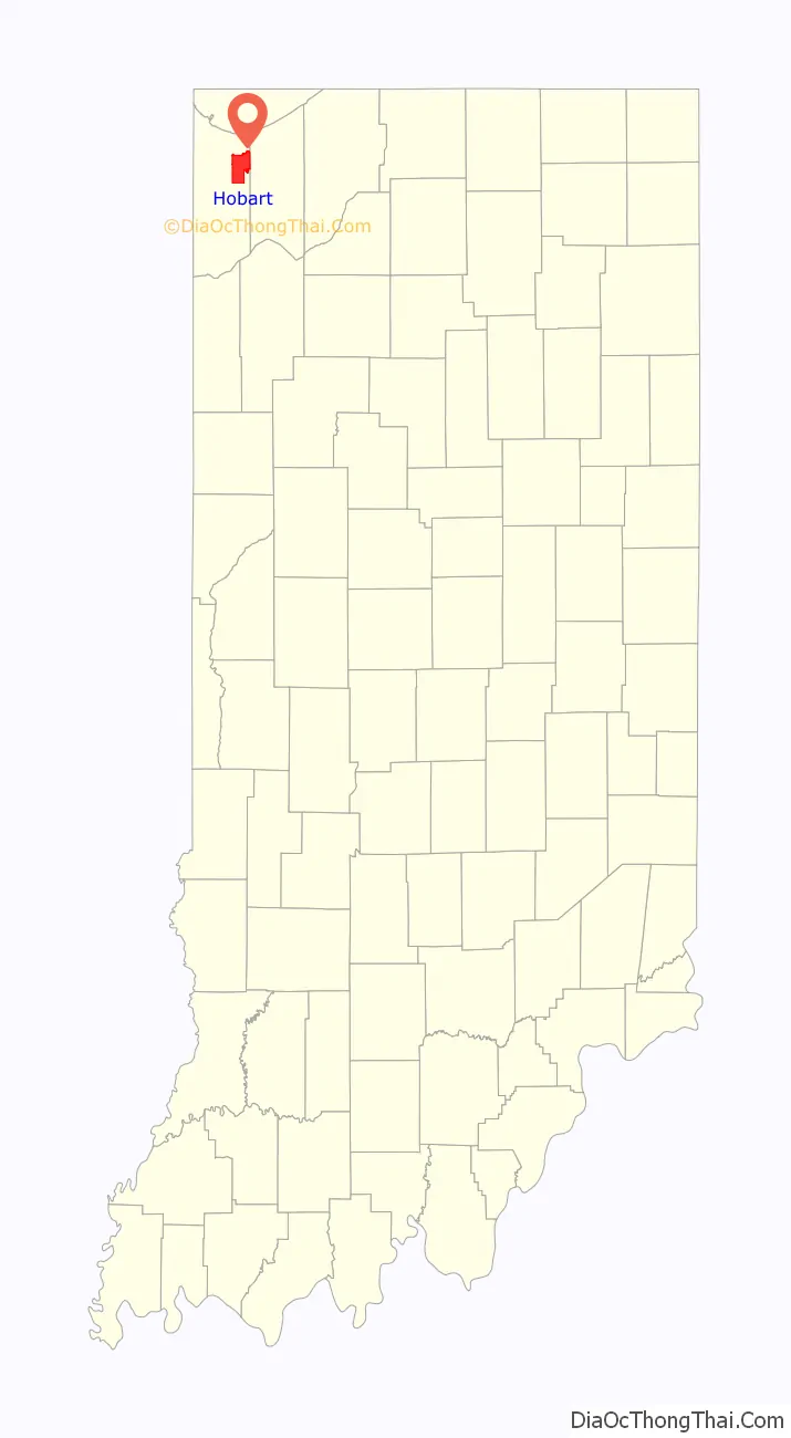
Hobart location map. Where is Hobart city?
History
Hobart was platted in 1849. George Earle, an English immigrant, bought land from the Potawatomi Native American tribe, who built a dam on Deep River, creating Lake George. He named the settlement that later developed into Hobart, after his brother, Frederick Hobart Earle, who never left England. The first school of the city was built in 1878.
The First Unitarian Church of Hobart, Hobart Carnegie Library Hobart Commercial District, and Pennsylvania Railroad Station are listed in the National Register of Historic Places. The Lake George Commercial Historic District is noted locally. Hobart is also the site of several WPA projects, including a post office.
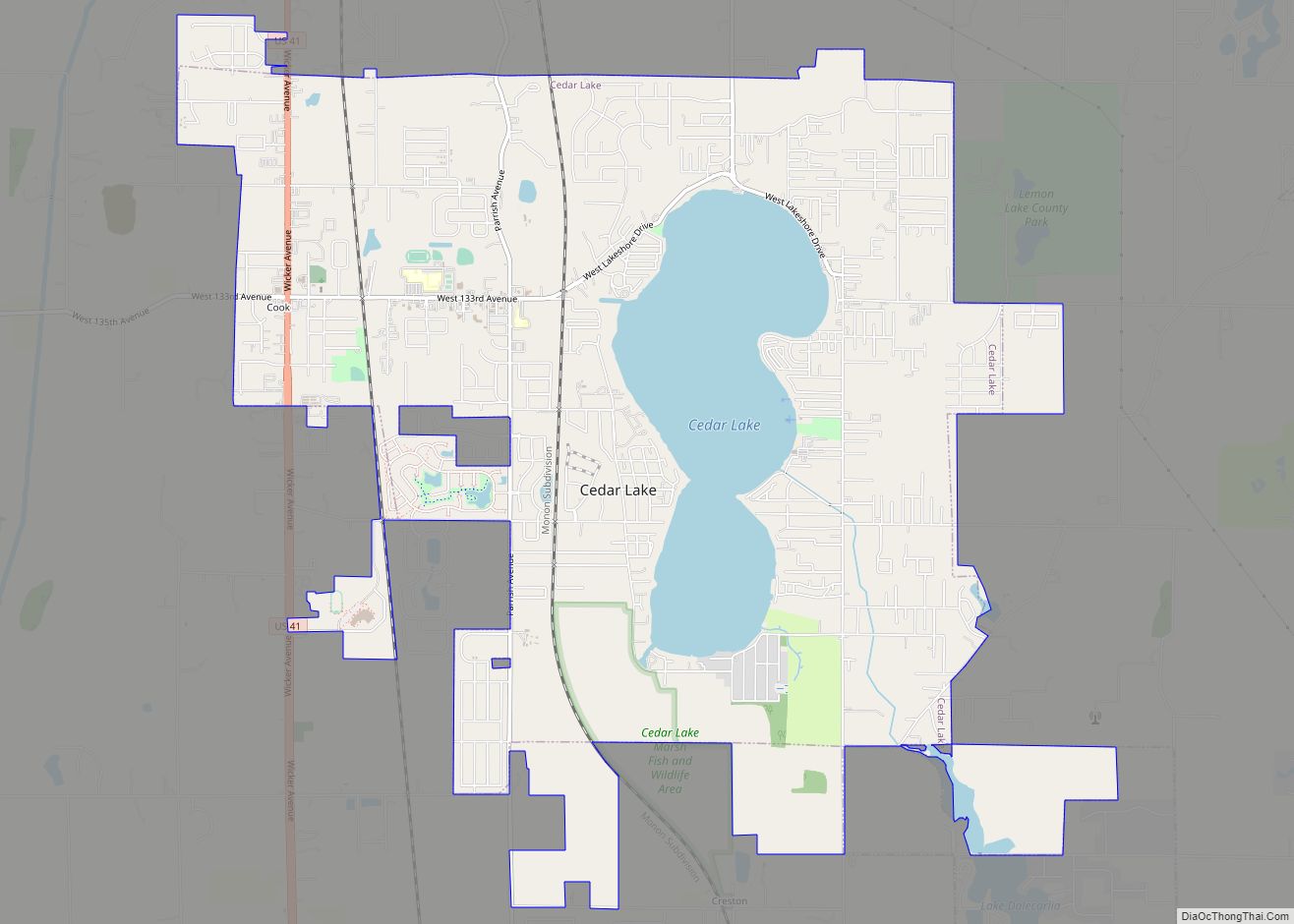
Hobart Road Map

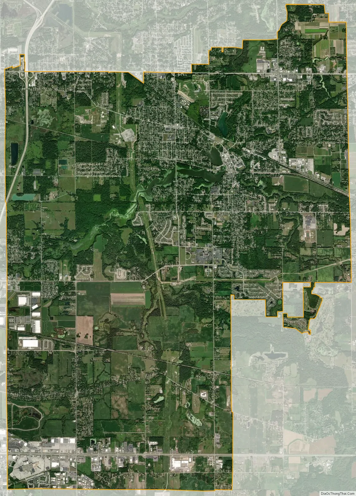
Hobart city Satellite Map
Geography
According to the 2010 census, Hobart has a total area of 26.705 square miles (69.17 km), of which 26.33 square miles (68.19 km) (or 98.6%) is land and 0.375 square miles (0.97 km) (or 1.4%) is water.
Hobart is approximately 31 miles (50 km) southeast of Chicago.
See also
Map of Indiana State and its subdivision:- Adams
- Allen
- Bartholomew
- Benton
- Blackford
- Boone
- Brown
- Carroll
- Cass
- Clark
- Clay
- Clinton
- Crawford
- Daviess
- De Kalb
- Dearborn
- Decatur
- Delaware
- Dubois
- Elkhart
- Fayette
- Floyd
- Fountain
- Franklin
- Fulton
- Gibson
- Grant
- Greene
- Hamilton
- Hancock
- Harrison
- Hendricks
- Henry
- Howard
- Huntington
- Jackson
- Jasper
- Jay
- Jefferson
- Jennings
- Johnson
- Knox
- Kosciusko
- LaGrange
- Lake
- Lake Michigan
- LaPorte
- Lawrence
- Madison
- Marion
- Marshall
- Martin
- Miami
- Monroe
- Montgomery
- Morgan
- Newton
- Noble
- Ohio
- Orange
- Owen
- Parke
- Perry
- Pike
- Porter
- Posey
- Pulaski
- Putnam
- Randolph
- Ripley
- Rush
- Saint Joseph
- Scott
- Shelby
- Spencer
- Starke
- Steuben
- Sullivan
- Switzerland
- Tippecanoe
- Tipton
- Union
- Vanderburgh
- Vermillion
- Vigo
- Wabash
- Warren
- Warrick
- Washington
- Wayne
- Wells
- White
- Whitley
- Alabama
- Alaska
- Arizona
- Arkansas
- California
- Colorado
- Connecticut
- Delaware
- District of Columbia
- Florida
- Georgia
- Hawaii
- Idaho
- Illinois
- Indiana
- Iowa
- Kansas
- Kentucky
- Louisiana
- Maine
- Maryland
- Massachusetts
- Michigan
- Minnesota
- Mississippi
- Missouri
- Montana
- Nebraska
- Nevada
- New Hampshire
- New Jersey
- New Mexico
- New York
- North Carolina
- North Dakota
- Ohio
- Oklahoma
- Oregon
- Pennsylvania
- Rhode Island
- South Carolina
- South Dakota
- Tennessee
- Texas
- Utah
- Vermont
- Virginia
- Washington
- West Virginia
- Wisconsin
- Wyoming