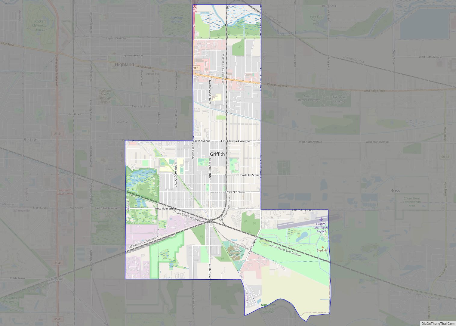
Griffith is a town in the North and St. John townships in Lake County, Indiana,United States. It is a part of the Chicago metropolitan area. The population was 16,420 in 2020. Griffith is the town with the 11th largest population and 17th largest town by area in the State of Indiana.
| Name: | Griffith town |
|---|---|
| LSAD Code: | 43 |
| LSAD Description: | town (suffix) |
| State: | Indiana |
| County: | Lake County |
| Founded: | 1854 |
| Incorporated: | 1904 |
| Elevation: | 630 ft (192 m) |
| Total Area: | 7.77 sq mi (20.12 km²) |
| Land Area: | 7.77 sq mi (20.12 km²) |
| Water Area: | 0.00 sq mi (0.00 km²) |
| Total Population: | 16,331 |
| Population Density: | 2,125.2/sq mi (5,504.24/km²) |
| ZIP code: | 46319 |
| Area code: | 219 |
| FIPS code: | 1830042 |
| GNISfeature ID: | 0435501 |
| Website: | griffith.in.gov |
Online Interactive Map
Click on ![]() to view map in "full screen" mode.
to view map in "full screen" mode.
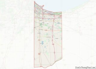
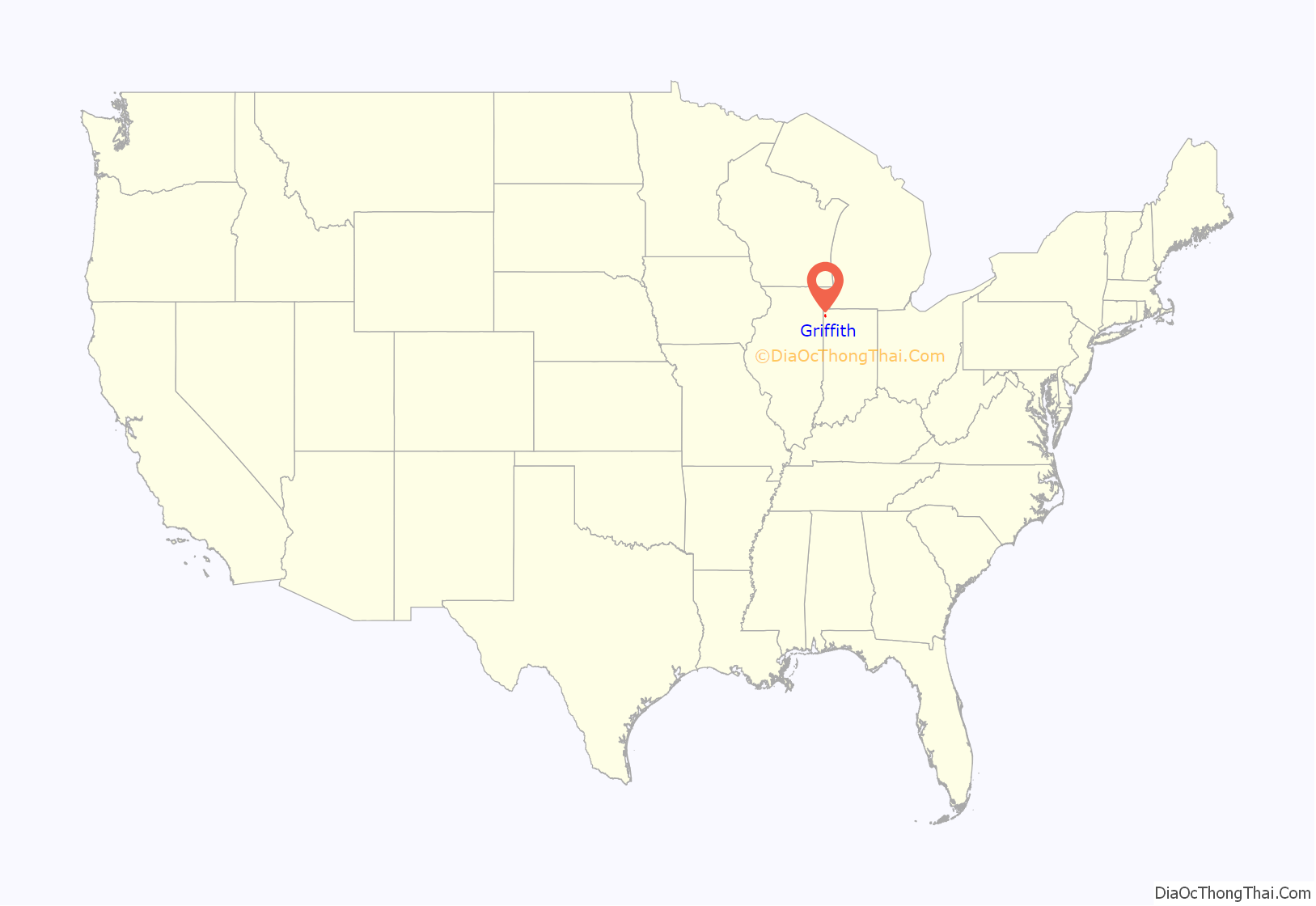
Griffith location map. Where is Griffith town?

History
The Griffith State Bank, E.J. and E. Griffith Interlocking Tower and Griffith Grand Trunk Depot are listed in the National Register of Historic Places. In 2018, citizens of Griffith voted by a margin of 98% to 2% to leave Calumet Township in part because of the high property taxes they pay to the township, which also includes Gary, relative to the services received. The town is now part of North Township.
Griffith Road Map
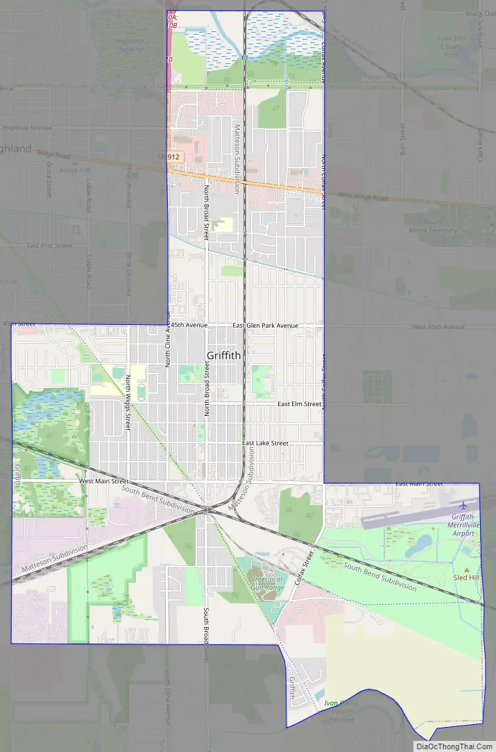
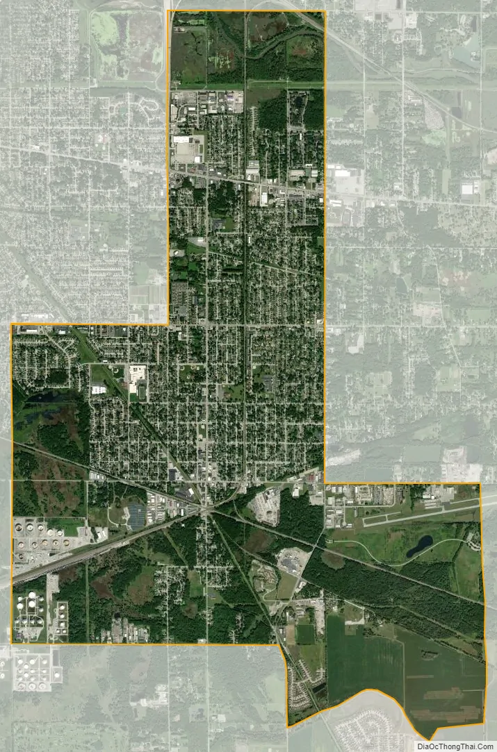
Griffith city Satellite Map
Geography
Griffith is 630 feet (190 m) above sea level. The town’s boundaries encompass part of the ancient Calumet shorelines of Lake Michigan. Griffith has a total area of 7.768 square miles (20.12 km), all land.
Griffith borders the town of Highland to the west, the city of Hammond to the northwest, the city of Gary to the northeast, the town of Schererville to the south, and unincorporated North Township to the east.
See also
Map of Indiana State and its subdivision:- Adams
- Allen
- Bartholomew
- Benton
- Blackford
- Boone
- Brown
- Carroll
- Cass
- Clark
- Clay
- Clinton
- Crawford
- Daviess
- De Kalb
- Dearborn
- Decatur
- Delaware
- Dubois
- Elkhart
- Fayette
- Floyd
- Fountain
- Franklin
- Fulton
- Gibson
- Grant
- Greene
- Hamilton
- Hancock
- Harrison
- Hendricks
- Henry
- Howard
- Huntington
- Jackson
- Jasper
- Jay
- Jefferson
- Jennings
- Johnson
- Knox
- Kosciusko
- LaGrange
- Lake
- Lake Michigan
- LaPorte
- Lawrence
- Madison
- Marion
- Marshall
- Martin
- Miami
- Monroe
- Montgomery
- Morgan
- Newton
- Noble
- Ohio
- Orange
- Owen
- Parke
- Perry
- Pike
- Porter
- Posey
- Pulaski
- Putnam
- Randolph
- Ripley
- Rush
- Saint Joseph
- Scott
- Shelby
- Spencer
- Starke
- Steuben
- Sullivan
- Switzerland
- Tippecanoe
- Tipton
- Union
- Vanderburgh
- Vermillion
- Vigo
- Wabash
- Warren
- Warrick
- Washington
- Wayne
- Wells
- White
- Whitley
- Alabama
- Alaska
- Arizona
- Arkansas
- California
- Colorado
- Connecticut
- Delaware
- District of Columbia
- Florida
- Georgia
- Hawaii
- Idaho
- Illinois
- Indiana
- Iowa
- Kansas
- Kentucky
- Louisiana
- Maine
- Maryland
- Massachusetts
- Michigan
- Minnesota
- Mississippi
- Missouri
- Montana
- Nebraska
- Nevada
- New Hampshire
- New Jersey
- New Mexico
- New York
- North Carolina
- North Dakota
- Ohio
- Oklahoma
- Oregon
- Pennsylvania
- Rhode Island
- South Carolina
- South Dakota
- Tennessee
- Texas
- Utah
- Vermont
- Virginia
- Washington
- West Virginia
- Wisconsin
- Wyoming