Lake Dalecarlia is a census-designated place (CDP) in Lake County, Indiana, United States. The population was 1,355 at the 2010 census. The name comes from the English name of the Dalarna region of Sweden. The community is centered on the lake of the same name, which was completed in the 1920s.
| Name: | Lake Dalecarlia CDP |
|---|---|
| LSAD Code: | 57 |
| LSAD Description: | CDP (suffix) |
| State: | Indiana |
| County: | Lake County |
| Elevation: | 712 ft (217 m) |
| Total Area: | 1.40 sq mi (3.63 km²) |
| Land Area: | 1.13 sq mi (2.92 km²) |
| Water Area: | 0.27 sq mi (0.71 km²) |
| Total Population: | 1,332 |
| Population Density: | 1,180.85/sq mi (455.90/km²) |
| ZIP code: | 46356 |
| Area code: | 219 |
| FIPS code: | 1841058 |
| GNISfeature ID: | 0433293 |
Online Interactive Map
Click on ![]() to view map in "full screen" mode.
to view map in "full screen" mode.
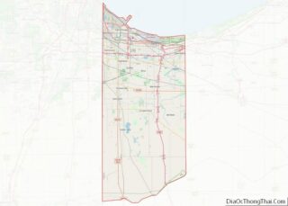
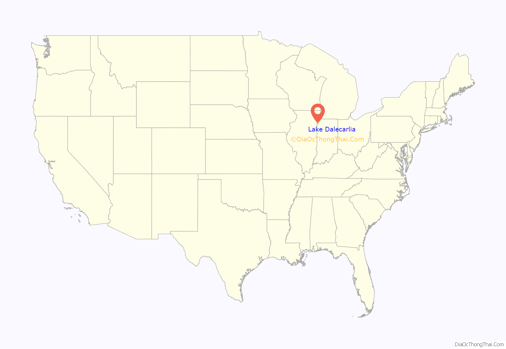
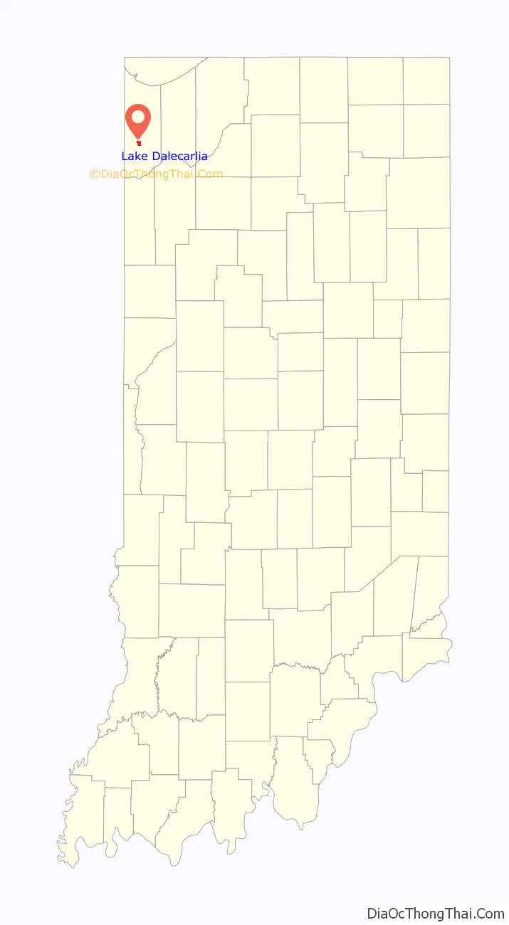
Lake Dalecarlia location map. Where is Lake Dalecarlia CDP?
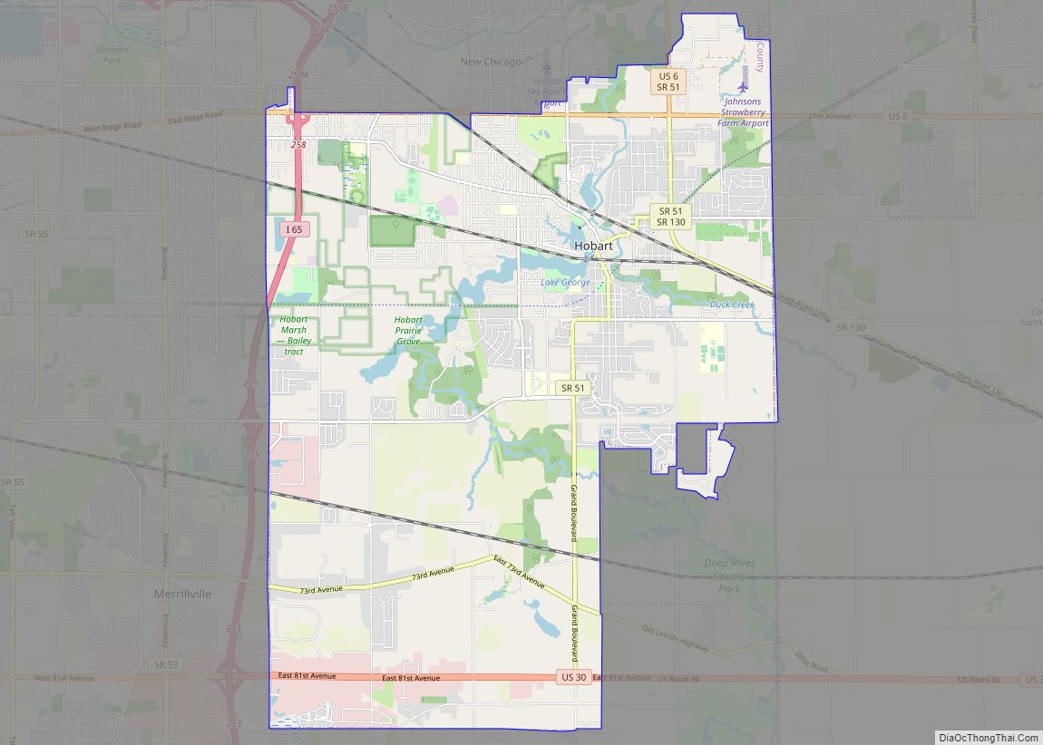
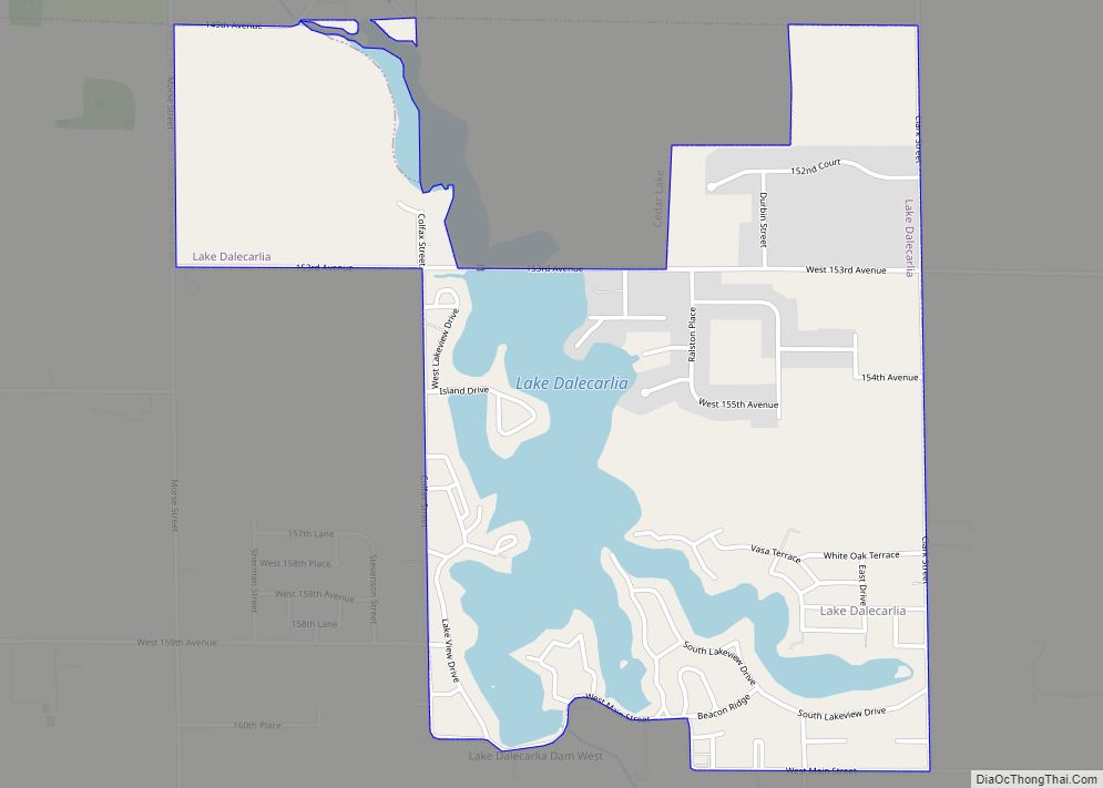
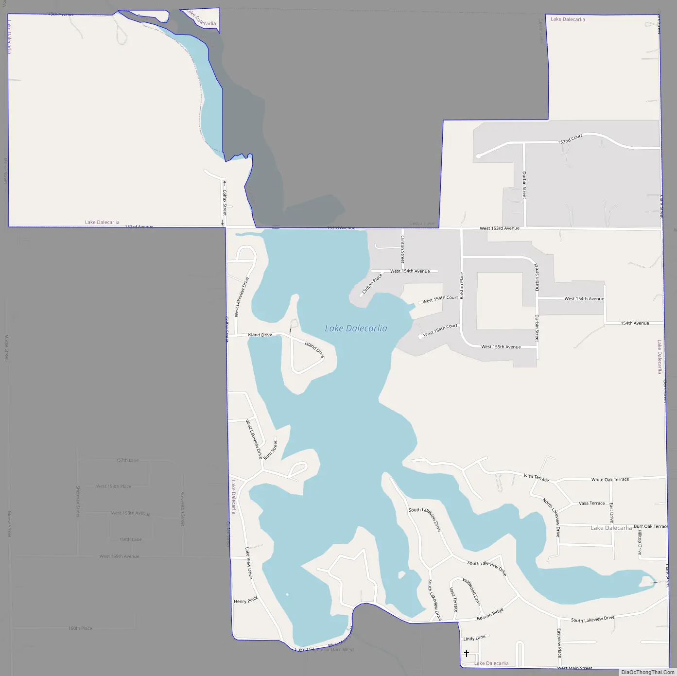
Lake Dalecarlia Road Map
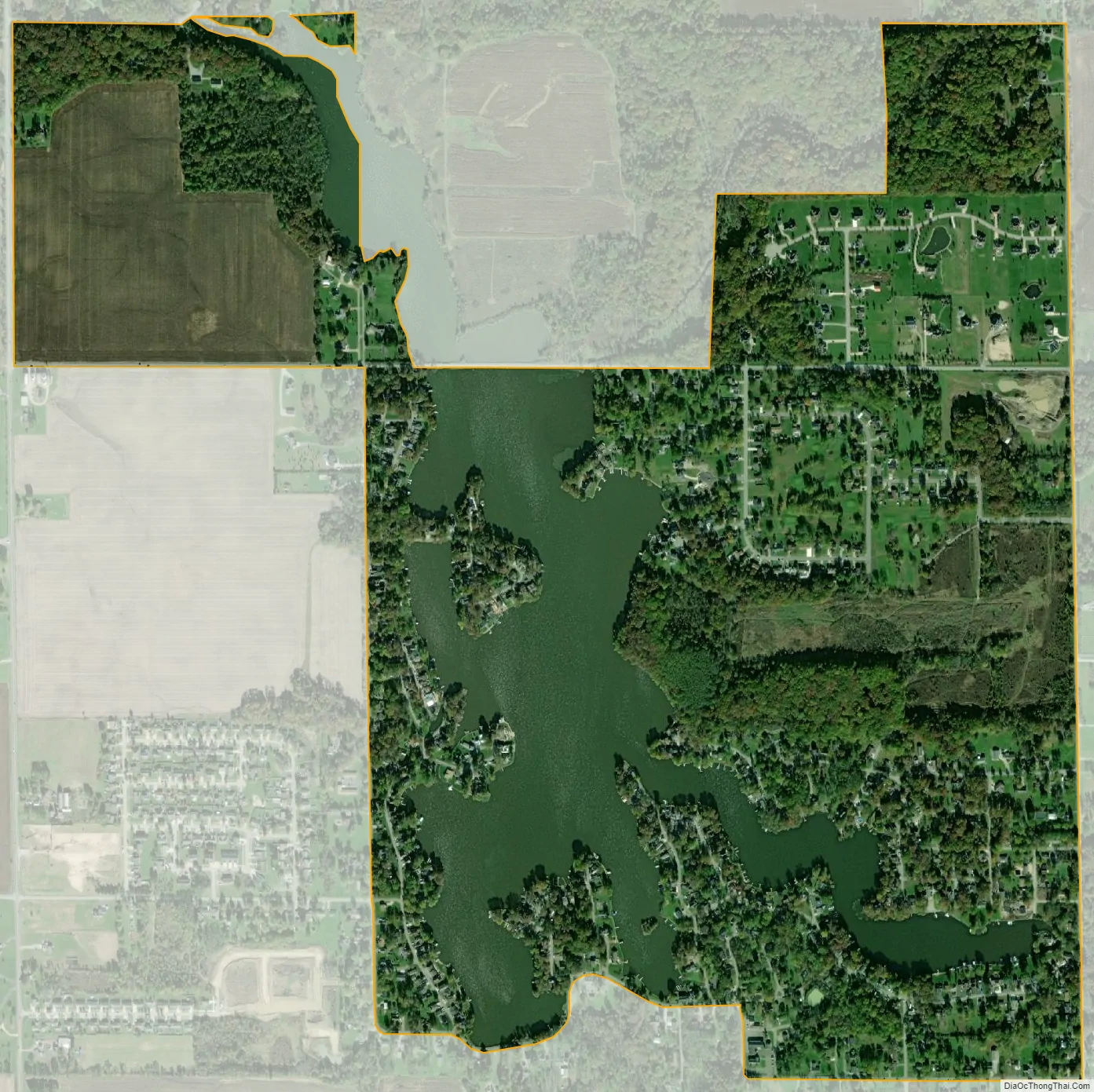
Lake Dalecarlia city Satellite Map
Geography
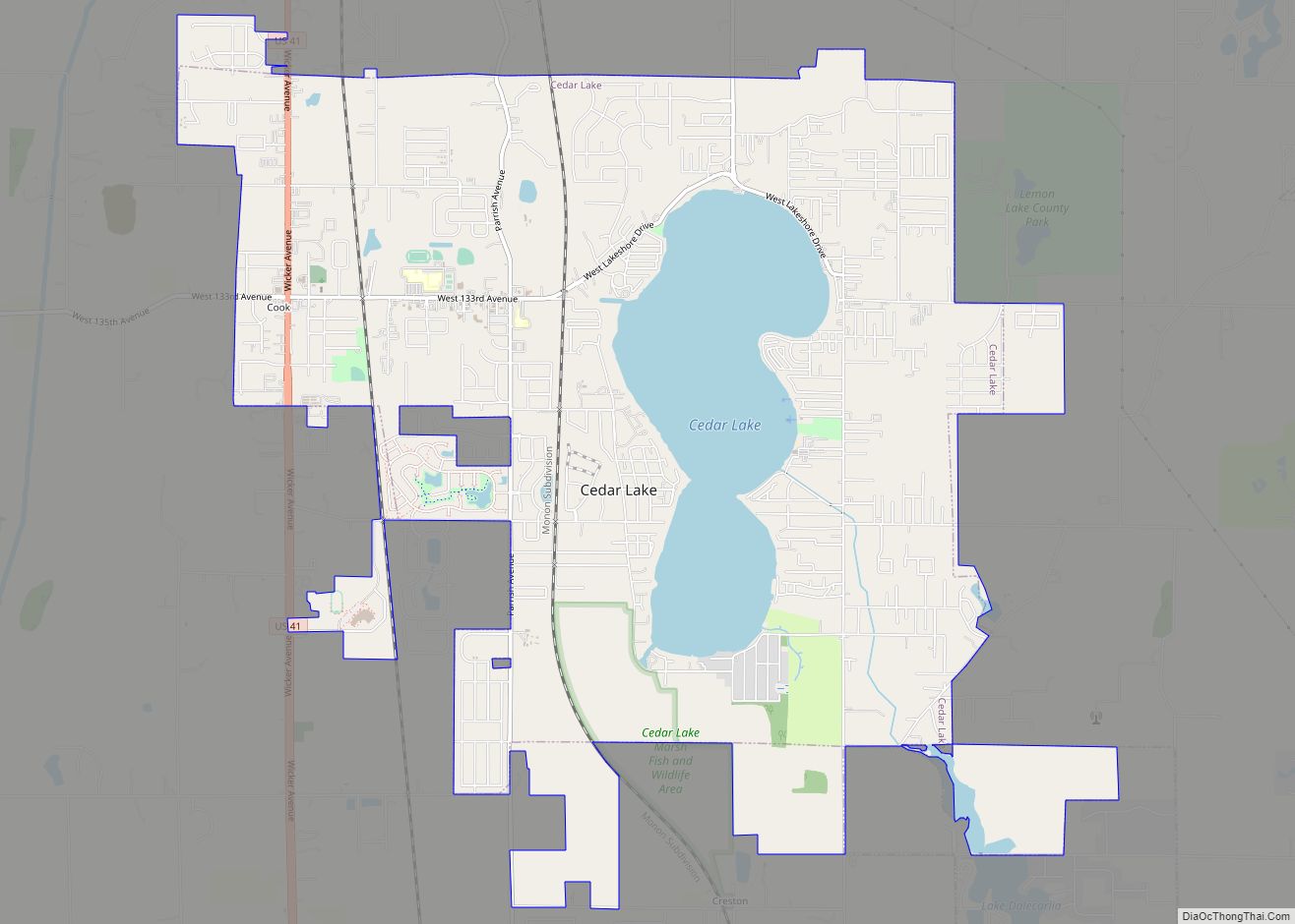
The Lake Dalecarlia community is located in southern Lake County at 41°19′54″N 87°24′14″W / 41.33167°N 87.40389°W / 41.33167; -87.40389 (41.331727, -87.403852), surrounding a lake of the same name. The community is at the northern end of Cedar Creek Township and is bordered to the north by the town of Cedar Lake.
According to the United States Census Bureau, the CDP has a total area of 1.4 square miles (3.6 km), of which 1.1 square miles (2.9 km) are land and 0.3 square miles (0.7 km), or 19.27%, are water. The community’s namesake lake is a reservoir on Cedar Creek, a south-flowing tributary of the Kankakee River and thus part of the Illinois River watershed.
See also
Map of Indiana State and its subdivision:- Adams
- Allen
- Bartholomew
- Benton
- Blackford
- Boone
- Brown
- Carroll
- Cass
- Clark
- Clay
- Clinton
- Crawford
- Daviess
- De Kalb
- Dearborn
- Decatur
- Delaware
- Dubois
- Elkhart
- Fayette
- Floyd
- Fountain
- Franklin
- Fulton
- Gibson
- Grant
- Greene
- Hamilton
- Hancock
- Harrison
- Hendricks
- Henry
- Howard
- Huntington
- Jackson
- Jasper
- Jay
- Jefferson
- Jennings
- Johnson
- Knox
- Kosciusko
- LaGrange
- Lake
- Lake Michigan
- LaPorte
- Lawrence
- Madison
- Marion
- Marshall
- Martin
- Miami
- Monroe
- Montgomery
- Morgan
- Newton
- Noble
- Ohio
- Orange
- Owen
- Parke
- Perry
- Pike
- Porter
- Posey
- Pulaski
- Putnam
- Randolph
- Ripley
- Rush
- Saint Joseph
- Scott
- Shelby
- Spencer
- Starke
- Steuben
- Sullivan
- Switzerland
- Tippecanoe
- Tipton
- Union
- Vanderburgh
- Vermillion
- Vigo
- Wabash
- Warren
- Warrick
- Washington
- Wayne
- Wells
- White
- Whitley
- Alabama
- Alaska
- Arizona
- Arkansas
- California
- Colorado
- Connecticut
- Delaware
- District of Columbia
- Florida
- Georgia
- Hawaii
- Idaho
- Illinois
- Indiana
- Iowa
- Kansas
- Kentucky
- Louisiana
- Maine
- Maryland
- Massachusetts
- Michigan
- Minnesota
- Mississippi
- Missouri
- Montana
- Nebraska
- Nevada
- New Hampshire
- New Jersey
- New Mexico
- New York
- North Carolina
- North Dakota
- Ohio
- Oklahoma
- Oregon
- Pennsylvania
- Rhode Island
- South Carolina
- South Dakota
- Tennessee
- Texas
- Utah
- Vermont
- Virginia
- Washington
- West Virginia
- Wisconsin
- Wyoming