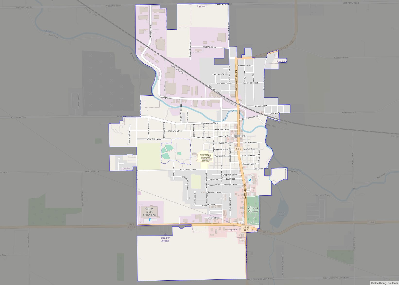
Ligonier is a city in Perry Township, Noble County, in the U.S. state of Indiana. The population was 4,405 at the 2010 census.
| Name: | Ligonier city |
|---|---|
| LSAD Code: | 25 |
| LSAD Description: | city (suffix) |
| State: | Indiana |
| County: | Noble County |
| Elevation: | 876 ft (267 m) |
| Total Area: | 2.80 sq mi (7.26 km²) |
| Land Area: | 2.80 sq mi (7.25 km²) |
| Water Area: | 0.00 sq mi (0.00 km²) 0% |
| Total Population: | 4,568 |
| Population Density: | 1,630.85/sq mi (629.65/km²) |
| ZIP code: | 46767 |
| Area code: | 260 |
| FIPS code: | 1843686 |
| GNISfeature ID: | 437883 |
| Website: | http://ligonier-in.org/ |
Online Interactive Map
Click on ![]() to view map in "full screen" mode.
to view map in "full screen" mode.
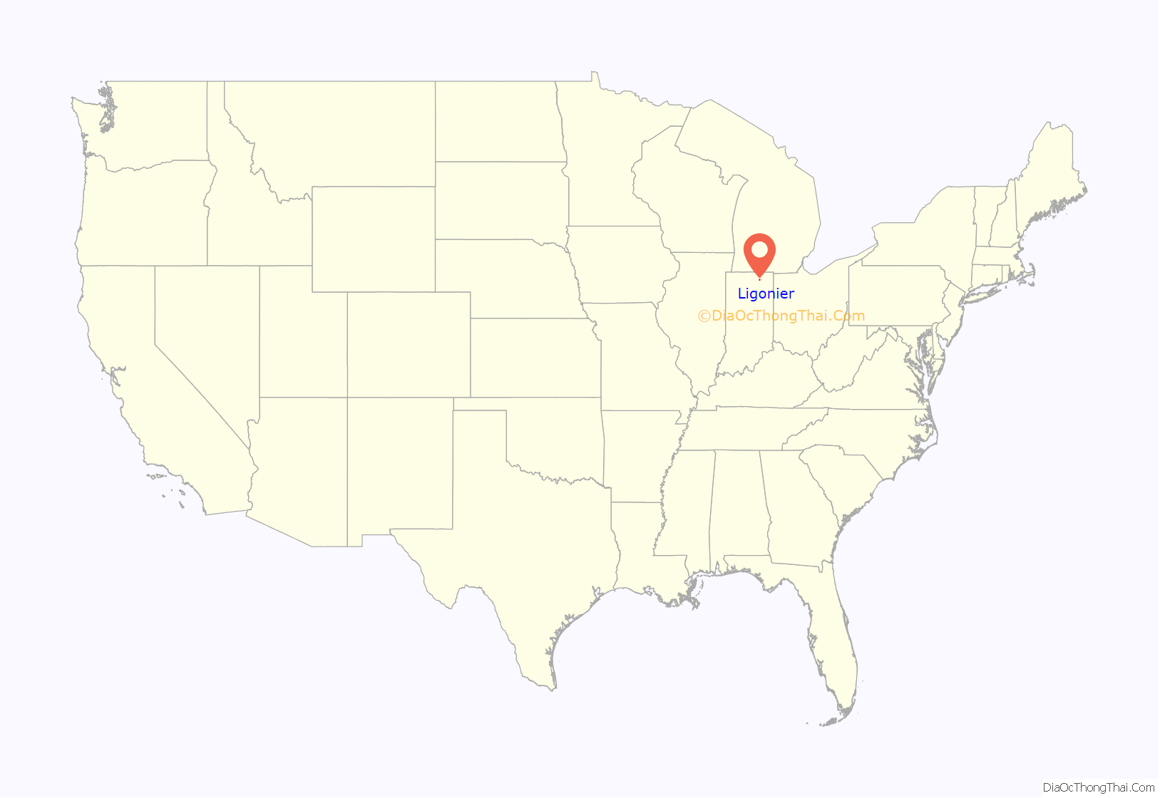
Ligonier location map. Where is Ligonier city?
History
Ligonier was platted in 1835. The city was named after the Pennsylvanian borough of the same name. A post office has been in operation at Ligonier since 1848.
In 1940, a post office mural was completed by Fay E. Davis as a work commissioned through the federal Section of Painting and Sculpture, later called the Section of Fine Arts, of the Treasury Department. The mural, Cutting Timber, depicts lumberjacks felling trees and removing them by oxcart.
The Ahavas Shalom Reform Temple, Ligonier Historic District, and Jacob Straus House are listed on the National Register of Historic Places.
Ligonier Road Map
Ligonier city Satellite Map
Geography
Ligonier is located at 41°27′51″N 85°35′29″W / 41.46417°N 85.59139°W / 41.46417; -85.59139 (41.464247, -85.591258).
According to the 2010 census, Ligonier has a total area of 2.31 square miles (5.98 km), all land.
See also
Map of Indiana State and its subdivision:- Adams
- Allen
- Bartholomew
- Benton
- Blackford
- Boone
- Brown
- Carroll
- Cass
- Clark
- Clay
- Clinton
- Crawford
- Daviess
- De Kalb
- Dearborn
- Decatur
- Delaware
- Dubois
- Elkhart
- Fayette
- Floyd
- Fountain
- Franklin
- Fulton
- Gibson
- Grant
- Greene
- Hamilton
- Hancock
- Harrison
- Hendricks
- Henry
- Howard
- Huntington
- Jackson
- Jasper
- Jay
- Jefferson
- Jennings
- Johnson
- Knox
- Kosciusko
- LaGrange
- Lake
- Lake Michigan
- LaPorte
- Lawrence
- Madison
- Marion
- Marshall
- Martin
- Miami
- Monroe
- Montgomery
- Morgan
- Newton
- Noble
- Ohio
- Orange
- Owen
- Parke
- Perry
- Pike
- Porter
- Posey
- Pulaski
- Putnam
- Randolph
- Ripley
- Rush
- Saint Joseph
- Scott
- Shelby
- Spencer
- Starke
- Steuben
- Sullivan
- Switzerland
- Tippecanoe
- Tipton
- Union
- Vanderburgh
- Vermillion
- Vigo
- Wabash
- Warren
- Warrick
- Washington
- Wayne
- Wells
- White
- Whitley
- Alabama
- Alaska
- Arizona
- Arkansas
- California
- Colorado
- Connecticut
- Delaware
- District of Columbia
- Florida
- Georgia
- Hawaii
- Idaho
- Illinois
- Indiana
- Iowa
- Kansas
- Kentucky
- Louisiana
- Maine
- Maryland
- Massachusetts
- Michigan
- Minnesota
- Mississippi
- Missouri
- Montana
- Nebraska
- Nevada
- New Hampshire
- New Jersey
- New Mexico
- New York
- North Carolina
- North Dakota
- Ohio
- Oklahoma
- Oregon
- Pennsylvania
- Rhode Island
- South Carolina
- South Dakota
- Tennessee
- Texas
- Utah
- Vermont
- Virginia
- Washington
- West Virginia
- Wisconsin
- Wyoming
