Shelby is an unincorporated community and census-designated place in Cedar Creek Township, Lake County, Indiana. Shelby had a population of 453 at the 2020 census.
| Name: | Shelby CDP |
|---|---|
| LSAD Code: | 57 |
| LSAD Description: | CDP (suffix) |
| State: | Indiana |
| County: | Lake County |
| Elevation: | 640 ft (200 m) |
| Total Area: | 1.29 sq mi (3.33 km²) |
| Land Area: | 1.29 sq mi (3.33 km²) |
| Water Area: | 0.00 sq mi (0.00 km²) |
| Total Population: | 453 |
| Population Density: | 351.98/sq mi (135.86/km²) |
| ZIP code: | 46377 |
| Area code: | 219 |
| FIPS code: | 1869246 |
| GNISfeature ID: | 443344 |
Online Interactive Map
Click on ![]() to view map in "full screen" mode.
to view map in "full screen" mode.
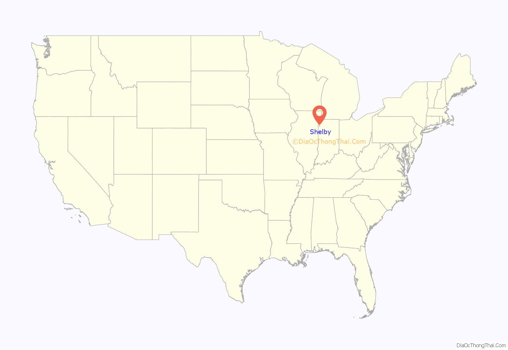
Shelby location map. Where is Shelby CDP?
History
Shelby was laid out and platted in 1886 by William R. Shelby, when the railroad was extended to that point.
Shelby Road Map
Shelby city Satellite Map
Geography
Shelby lies in the southeast corner of Cedar Creek Township, bordered to the south by the Kankakee River, which forms the Newton County line. Directly across the river is the unincorporated community of Thayer. Shelby is 9 miles (14 km) southeast of Lowell, 6 miles (10 km) east of Schneider and 10 miles (16 km) west of DeMotte.
Indiana State Road 55 crosses the Kankakee River at Shelby, making one of the few Kanakee River crossings from Lake County. Shelby, along other small Kankakee River communities, has historically had to contend with periodic flooding from the Kankakee River.
According to the U.S. Census Bureau, the Shelby CDP has an area of 1.3 square miles (3.3 km), all of it recorded as land.
See also
Map of Indiana State and its subdivision:- Adams
- Allen
- Bartholomew
- Benton
- Blackford
- Boone
- Brown
- Carroll
- Cass
- Clark
- Clay
- Clinton
- Crawford
- Daviess
- De Kalb
- Dearborn
- Decatur
- Delaware
- Dubois
- Elkhart
- Fayette
- Floyd
- Fountain
- Franklin
- Fulton
- Gibson
- Grant
- Greene
- Hamilton
- Hancock
- Harrison
- Hendricks
- Henry
- Howard
- Huntington
- Jackson
- Jasper
- Jay
- Jefferson
- Jennings
- Johnson
- Knox
- Kosciusko
- LaGrange
- Lake
- Lake Michigan
- LaPorte
- Lawrence
- Madison
- Marion
- Marshall
- Martin
- Miami
- Monroe
- Montgomery
- Morgan
- Newton
- Noble
- Ohio
- Orange
- Owen
- Parke
- Perry
- Pike
- Porter
- Posey
- Pulaski
- Putnam
- Randolph
- Ripley
- Rush
- Saint Joseph
- Scott
- Shelby
- Spencer
- Starke
- Steuben
- Sullivan
- Switzerland
- Tippecanoe
- Tipton
- Union
- Vanderburgh
- Vermillion
- Vigo
- Wabash
- Warren
- Warrick
- Washington
- Wayne
- Wells
- White
- Whitley
- Alabama
- Alaska
- Arizona
- Arkansas
- California
- Colorado
- Connecticut
- Delaware
- District of Columbia
- Florida
- Georgia
- Hawaii
- Idaho
- Illinois
- Indiana
- Iowa
- Kansas
- Kentucky
- Louisiana
- Maine
- Maryland
- Massachusetts
- Michigan
- Minnesota
- Mississippi
- Missouri
- Montana
- Nebraska
- Nevada
- New Hampshire
- New Jersey
- New Mexico
- New York
- North Carolina
- North Dakota
- Ohio
- Oklahoma
- Oregon
- Pennsylvania
- Rhode Island
- South Carolina
- South Dakota
- Tennessee
- Texas
- Utah
- Vermont
- Virginia
- Washington
- West Virginia
- Wisconsin
- Wyoming
