Winfield is a town in Winfield Township, Lake County, Indiana. The population was 2,298 at the time of the 2000 census, 4,383 in 2010, and 5,987 in 2019. The town was incorporated in 1993 in order to keep the residents from being annexed by other neighboring communities. Prior to that time it had been part of Winfield Township as an unincorporated town. Winfield is named for General Winfield Scott. The town is served by the Crown Point post office and addresses in Winfield share the Crown Point ZIP code.
In 2014 Winfield formed a Marshal department for public safety and law enforcement duties, prior to that time police protection services were provided by the Lake County Sheriff’s Department.
| Name: | Winfield town |
|---|---|
| LSAD Code: | 43 |
| LSAD Description: | town (suffix) |
| State: | Indiana |
| County: | Lake County |
| Incorporated: | 1993 |
| Elevation: | 709 ft (216 m) |
| Total Area: | 12.46 sq mi (32.28 km²) |
| Land Area: | 12.40 sq mi (32.11 km²) |
| Water Area: | 0.07 sq mi (0.17 km²) |
| Total Population: | 7,181 |
| Population Density: | 579.16/sq mi (223.62/km²) |
| ZIP code: | 46307 |
| Area code: | 219 |
| FIPS code: | 1884878 |
| GNISfeature ID: | 0446178 |
Online Interactive Map
Click on ![]() to view map in "full screen" mode.
to view map in "full screen" mode.
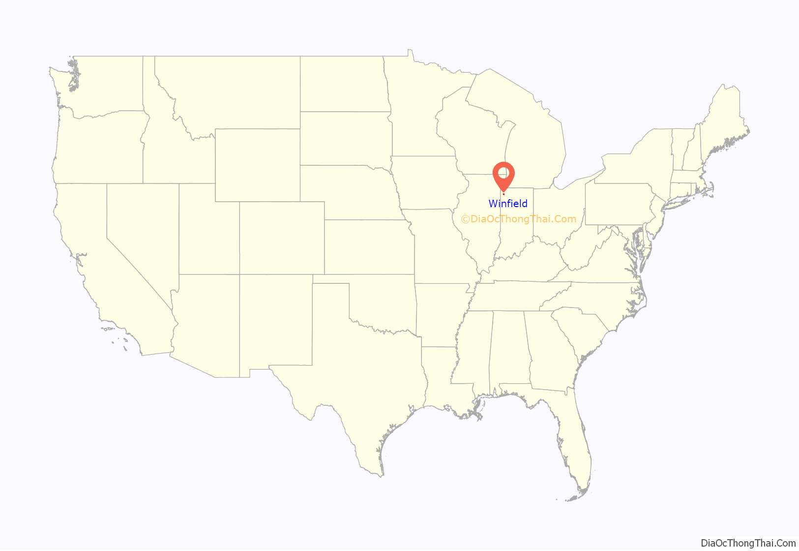
Winfield location map. Where is Winfield town?
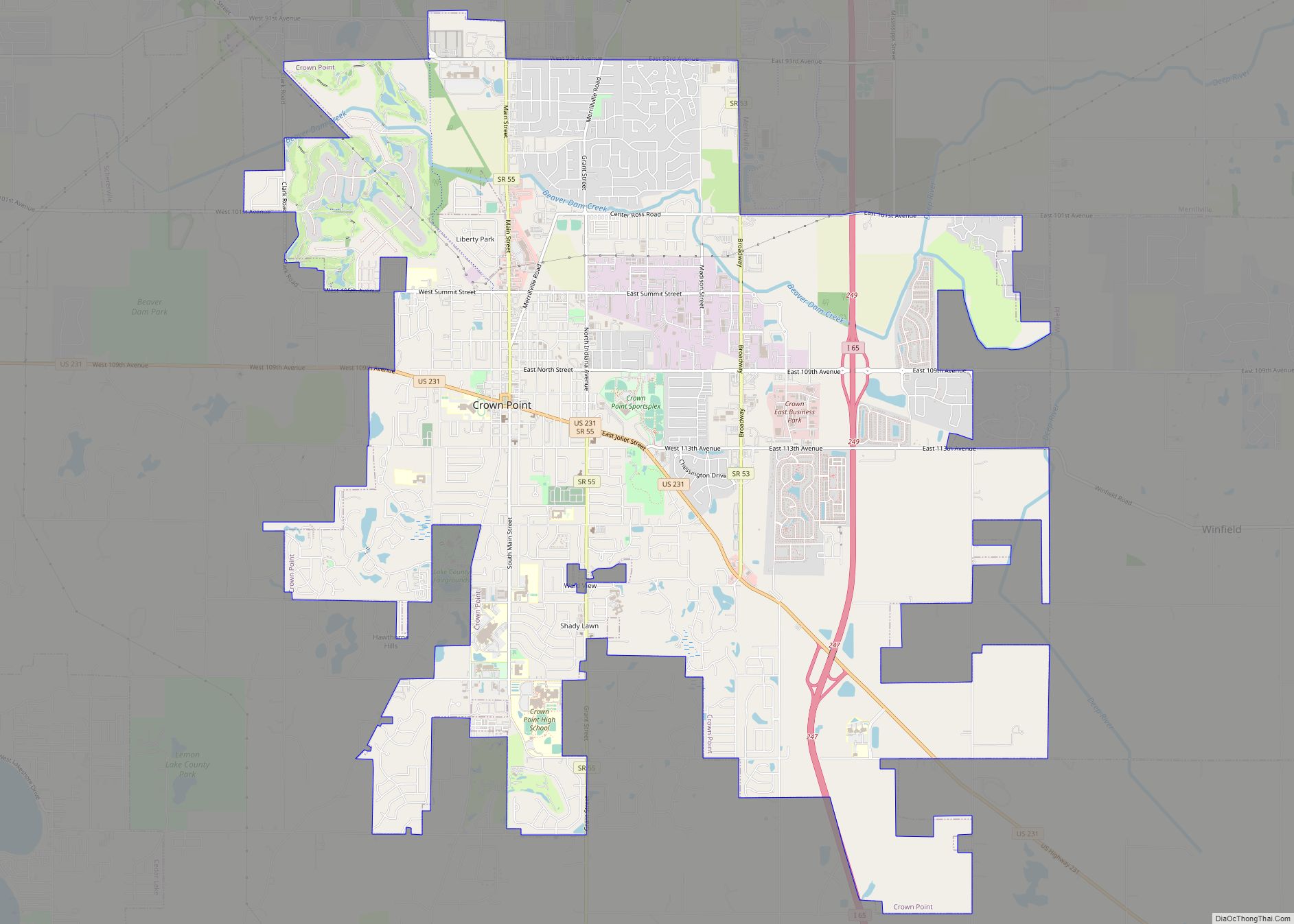
Winfield Road Map
Winfield city Satellite Map
Geography
Winfield is located at 41°24′46″N 87°15′39″W / 41.41278°N 87.26083°W / 41.41278; -87.26083 (41.412821, -87.260727).
According to the 2020 census, Winfield has a total area of 12.046 square miles (31.20 km), of which 11.98 square miles (31.03 km) (or 99.45%) is land and 0.066 square miles (0.17 km) (or 0.55%) is water.
See also
Map of Indiana State and its subdivision:- Adams
- Allen
- Bartholomew
- Benton
- Blackford
- Boone
- Brown
- Carroll
- Cass
- Clark
- Clay
- Clinton
- Crawford
- Daviess
- De Kalb
- Dearborn
- Decatur
- Delaware
- Dubois
- Elkhart
- Fayette
- Floyd
- Fountain
- Franklin
- Fulton
- Gibson
- Grant
- Greene
- Hamilton
- Hancock
- Harrison
- Hendricks
- Henry
- Howard
- Huntington
- Jackson
- Jasper
- Jay
- Jefferson
- Jennings
- Johnson
- Knox
- Kosciusko
- LaGrange
- Lake
- Lake Michigan
- LaPorte
- Lawrence
- Madison
- Marion
- Marshall
- Martin
- Miami
- Monroe
- Montgomery
- Morgan
- Newton
- Noble
- Ohio
- Orange
- Owen
- Parke
- Perry
- Pike
- Porter
- Posey
- Pulaski
- Putnam
- Randolph
- Ripley
- Rush
- Saint Joseph
- Scott
- Shelby
- Spencer
- Starke
- Steuben
- Sullivan
- Switzerland
- Tippecanoe
- Tipton
- Union
- Vanderburgh
- Vermillion
- Vigo
- Wabash
- Warren
- Warrick
- Washington
- Wayne
- Wells
- White
- Whitley
- Alabama
- Alaska
- Arizona
- Arkansas
- California
- Colorado
- Connecticut
- Delaware
- District of Columbia
- Florida
- Georgia
- Hawaii
- Idaho
- Illinois
- Indiana
- Iowa
- Kansas
- Kentucky
- Louisiana
- Maine
- Maryland
- Massachusetts
- Michigan
- Minnesota
- Mississippi
- Missouri
- Montana
- Nebraska
- Nevada
- New Hampshire
- New Jersey
- New Mexico
- New York
- North Carolina
- North Dakota
- Ohio
- Oklahoma
- Oregon
- Pennsylvania
- Rhode Island
- South Carolina
- South Dakota
- Tennessee
- Texas
- Utah
- Vermont
- Virginia
- Washington
- West Virginia
- Wisconsin
- Wyoming
