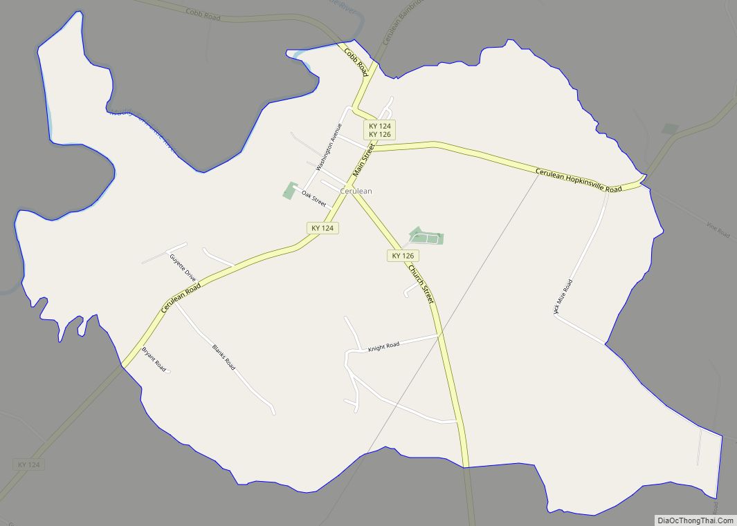
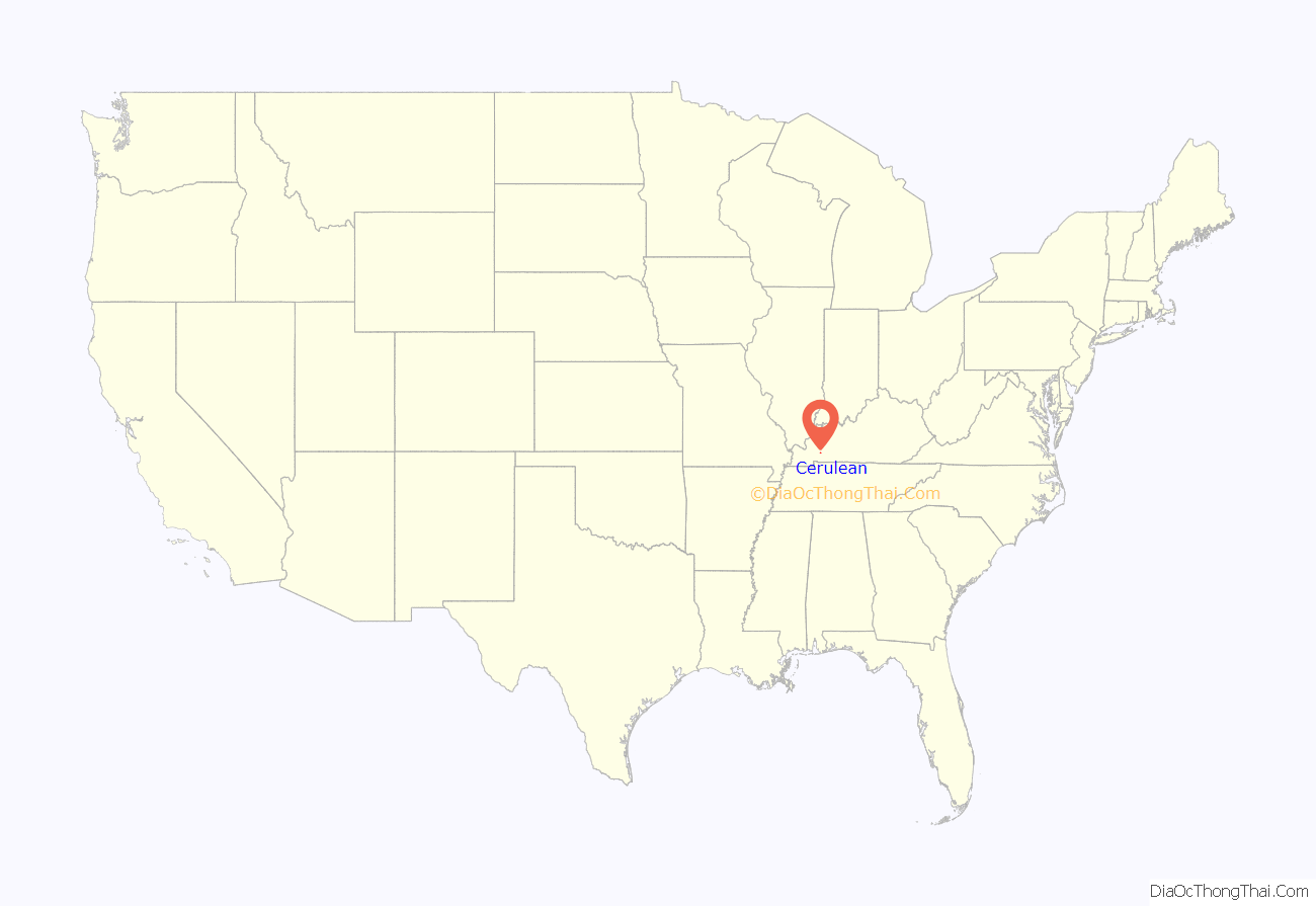
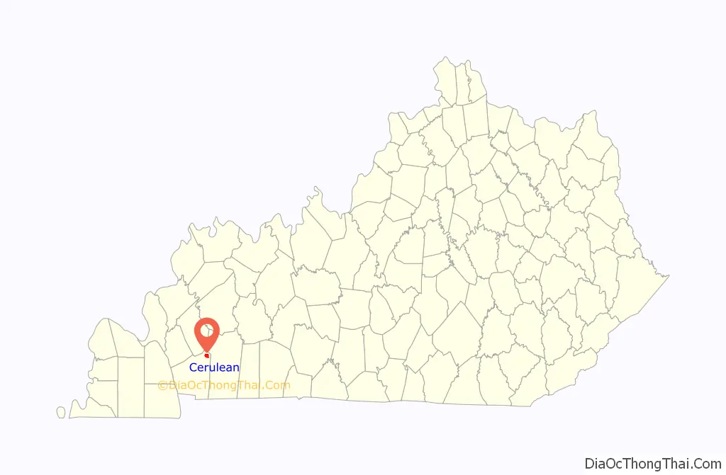
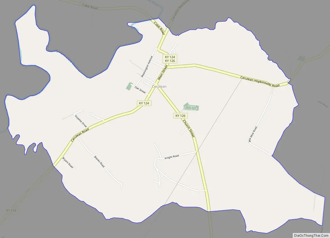
Cerulean is a census-designated place and unincorporated community in Trigg and Christian counties, Kentucky, United States. At one time, it was a city, incorporated as Cerulean Springs. It lies along Kentucky Routes 124 and 126 northeast of the city of Cadiz, the county seat of Trigg County. Its elevation is 512 feet (156 m), and it is located at 36°57′34″N 87°42′36″W / 36.95944°N 87.71000°W / 36.95944; -87.71000 (36.9594919, -87.7100107). It has a post office with the ZIP code 42215.
The community is part of the Clarksville, TN–KY Metropolitan Statistical Area.
| Name: | Cerulean CDP |
|---|---|
| LSAD Code: | 57 |
| LSAD Description: | CDP (suffix) |
| State: | Kentucky |
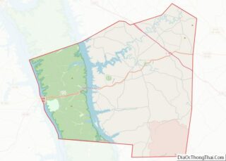
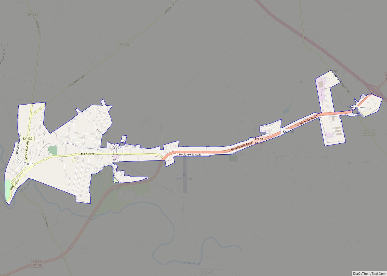
| County: | Trigg County |
| Elevation: | 512 ft (156 m) |
| Total Area: | 2.56 sq mi (6.64 km²) |
| Land Area: | 2.55 sq mi (6.62 km²) |
| Water Area: | 0.01 sq mi (0.02 km²) |
| Total Population: | 303 |
| Population Density: | 118.64/sq mi (45.80/km²) |
| ZIP code: | 42215 |
| FIPS code: | 2114068 |
Online Interactive Map
Click on ![]() to view map in "full screen" mode.
to view map in "full screen" mode.
Cerulean location map. Where is Cerulean CDP?
History
Cerulean was first settled around 1790, and later took its first name, Cerulean Springs, from the color of water from a local spring. The spring’s color was changed to cerulean by the New Madrid earthquake of 1811. The town itself was incorporated in 1822 and took the shorter name of Cerulean in 1894.
The town is best known for its 19th-century health resort, the Cerulean Springs Hotel, which earned a famed reputation throughout the Upper South after its initial 1817 opening. According to The Kentucky Atlas, “the resort business declined during the early twentieth century and the resort hotel burned in 1925. There was a rock quarry operating from 1895 until 1953 when it flooded. Much of the town burned in 1971.”
US poet laureate Robert Penn Warren spent his summers in Cerulean growing up as a child, staying with his maternal grandparents who lived there.
Cerulean also served as point of greatest eclipse for the solar eclipse of August 21, 2017.
Cerulean Road Map
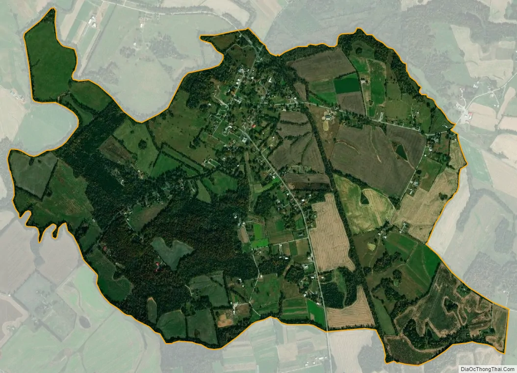
Cerulean city Satellite Map
Geography
The majority of Cerulean is located in Trigg County with a small portion in Christian County.
See also
Map of Kentucky State and its subdivision:- Adair
- Allen
- Anderson
- Ballard
- Barren
- Bath
- Bell
- Boone
- Bourbon
- Boyd
- Boyle
- Bracken
- Breathitt
- Breckinridge
- Bullitt
- Butler
- Caldwell
- Calloway
- Campbell
- Carlisle
- Carroll
- Carter
- Casey
- Christian
- Clark
- Clay
- Clinton
- Crittenden
- Cumberland
- Daviess
- Edmonson
- Elliott
- Estill
- Fayette
- Fleming
- Floyd
- Franklin
- Fulton
- Gallatin
- Garrard
- Grant
- Graves
- Grayson
- Green
- Greenup
- Hancock
- Hardin
- Harlan
- Harrison
- Hart
- Henderson
- Henry
- Hickman
- Hopkins
- Jackson
- Jefferson
- Jessamine
- Johnson
- Kenton
- Knott
- Knox
- Larue
- Laurel
- Lawrence
- Lee
- Leslie
- Letcher
- Lewis
- Lincoln
- Livingston
- Logan
- Lyon
- Madison
- Magoffin
- Marion
- Marshall
- Martin
- Mason
- McCracken
- McCreary
- McLean
- Meade
- Menifee
- Mercer
- Metcalfe
- Monroe
- Montgomery
- Morgan
- Muhlenberg
- Nelson
- Nicholas
- Ohio
- Oldham
- Owen
- Owsley
- Pendleton
- Perry
- Pike
- Powell
- Pulaski
- Robertson
- Rockcastle
- Rowan
- Russell
- Scott
- Shelby
- Simpson
- Spencer
- Taylor
- Todd
- Trigg
- Trimble
- Union
- Warren
- Washington
- Wayne
- Webster
- Whitley
- Wolfe
- Woodford
- Alabama
- Alaska
- Arizona
- Arkansas
- California
- Colorado
- Connecticut
- Delaware
- District of Columbia
- Florida
- Georgia
- Hawaii
- Idaho
- Illinois
- Indiana
- Iowa
- Kansas
- Kentucky
- Louisiana
- Maine
- Maryland
- Massachusetts
- Michigan
- Minnesota
- Mississippi
- Missouri
- Montana
- Nebraska
- Nevada
- New Hampshire
- New Jersey
- New Mexico
- New York
- North Carolina
- North Dakota
- Ohio
- Oklahoma
- Oregon
- Pennsylvania
- Rhode Island
- South Carolina
- South Dakota
- Tennessee
- Texas
- Utah
- Vermont
- Virginia
- Washington
- West Virginia
- Wisconsin
- Wyoming