Irvine (locally /ˈɜːrvən, ˈɜːrvaɪn/) is a home rule-class city in Estill County, Kentucky, in the United States. It is the seat of its county. Its population was 2,715 at the time of the 2010 census.
| Name: | Irvine city |
|---|---|
| LSAD Code: | 25 |
| LSAD Description: | city (suffix) |
| State: | Kentucky |
| County: | Estill County |
| Elevation: | 679 ft (207 m) |
| Total Area: | 1.53 sq mi (3.97 km²) |
| Land Area: | 1.46 sq mi (3.78 km²) |
| Water Area: | 0.07 sq mi (0.19 km²) |
| Total Population: | 2,360 |
| Population Density: | 1,618.66/sq mi (624.94/km²) |
| ZIP code: | 40336, 40472 |
| Area code: | 606 |
| FIPS code: | 2139646 |
| GNISfeature ID: | 0512925 |
Online Interactive Map
Click on ![]() to view map in "full screen" mode.
to view map in "full screen" mode.
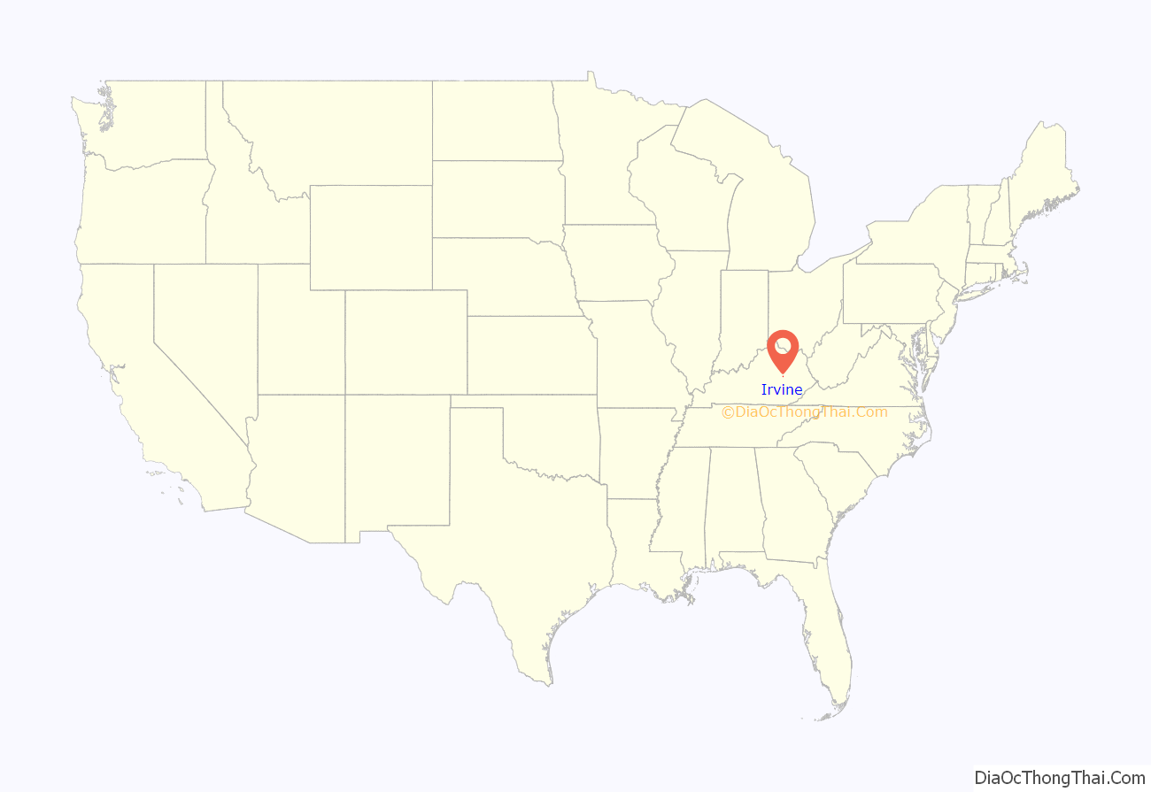
Irvine location map. Where is Irvine city?
History
Gen. Green Clay established the town of Irvine on 20.5 acres (8.3 ha) of his land on January 28, 1812, four years after Estill County was separated from Madison County. It was named for Col. William Irvine, a pioneer settler of Madison County. The post office was established in 1813, and the city was incorporated by the state legislature in 1849.
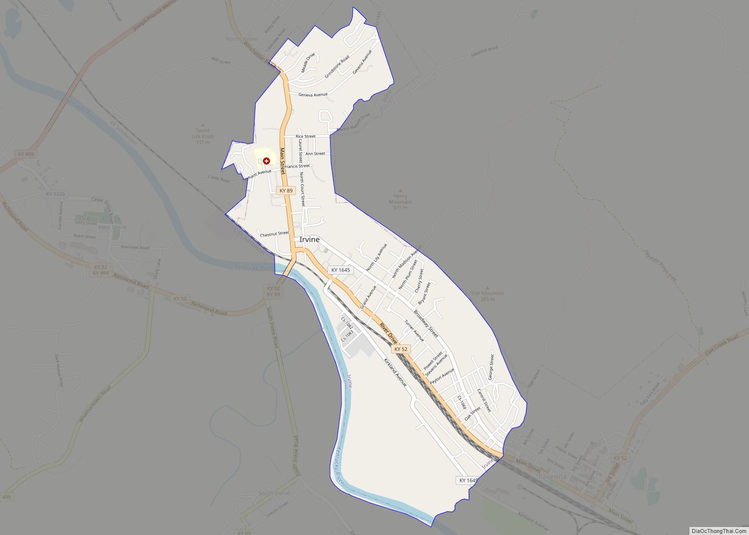
Irvine Road Map
Irvine city Satellite Map
Geography
Irvine is located in the center of Estill County at 37°41′49″N 83°58′1″W / 37.69694°N 83.96694°W / 37.69694; -83.96694 (37.696835, -83.966895). The city limits are on the northeast side of the Kentucky River, and the city is bordered by Ravenna to the southeast. According to the United States Census Bureau, Irvine has a total area of 1.49 square miles (3.85 km), of which 1.41 square miles (3.65 km) is land and 0.077 square miles (0.20 km), or 5.13%, is water.
See also
Map of Kentucky State and its subdivision:- Adair
- Allen
- Anderson
- Ballard
- Barren
- Bath
- Bell
- Boone
- Bourbon
- Boyd
- Boyle
- Bracken
- Breathitt
- Breckinridge
- Bullitt
- Butler
- Caldwell
- Calloway
- Campbell
- Carlisle
- Carroll
- Carter
- Casey
- Christian
- Clark
- Clay
- Clinton
- Crittenden
- Cumberland
- Daviess
- Edmonson
- Elliott
- Estill
- Fayette
- Fleming
- Floyd
- Franklin
- Fulton
- Gallatin
- Garrard
- Grant
- Graves
- Grayson
- Green
- Greenup
- Hancock
- Hardin
- Harlan
- Harrison
- Hart
- Henderson
- Henry
- Hickman
- Hopkins
- Jackson
- Jefferson
- Jessamine
- Johnson
- Kenton
- Knott
- Knox
- Larue
- Laurel
- Lawrence
- Lee
- Leslie
- Letcher
- Lewis
- Lincoln
- Livingston
- Logan
- Lyon
- Madison
- Magoffin
- Marion
- Marshall
- Martin
- Mason
- McCracken
- McCreary
- McLean
- Meade
- Menifee
- Mercer
- Metcalfe
- Monroe
- Montgomery
- Morgan
- Muhlenberg
- Nelson
- Nicholas
- Ohio
- Oldham
- Owen
- Owsley
- Pendleton
- Perry
- Pike
- Powell
- Pulaski
- Robertson
- Rockcastle
- Rowan
- Russell
- Scott
- Shelby
- Simpson
- Spencer
- Taylor
- Todd
- Trigg
- Trimble
- Union
- Warren
- Washington
- Wayne
- Webster
- Whitley
- Wolfe
- Woodford
- Alabama
- Alaska
- Arizona
- Arkansas
- California
- Colorado
- Connecticut
- Delaware
- District of Columbia
- Florida
- Georgia
- Hawaii
- Idaho
- Illinois
- Indiana
- Iowa
- Kansas
- Kentucky
- Louisiana
- Maine
- Maryland
- Massachusetts
- Michigan
- Minnesota
- Mississippi
- Missouri
- Montana
- Nebraska
- Nevada
- New Hampshire
- New Jersey
- New Mexico
- New York
- North Carolina
- North Dakota
- Ohio
- Oklahoma
- Oregon
- Pennsylvania
- Rhode Island
- South Carolina
- South Dakota
- Tennessee
- Texas
- Utah
- Vermont
- Virginia
- Washington
- West Virginia
- Wisconsin
- Wyoming


