Maceo is an unincorporated community and census-designated place (CDP) in Daviess County, Kentucky, United States. As of the 2010 census, it had a population of 413.
The community was founded by freed slaves just after the U.S. Civil War. In 1890, the Louisville, Henderson & St. Louis Railroad company setup a station and post office there named Powers Station, Kentucky, after Col. J.D. Powers. This name was often confused with another post office named Powers Store, Kentucky. At the suggestion of Post Master Edwin P. Taylor, the post office was renamed to honor Cuban General Antonio Maceo Grajales in 1897.
Maceo is the hometown of country singer Marty Brown and Keith Payne, the author of The Broken Ladder: How Inequality Affects the Way We Think, Live, and Die.
| Name: | Maceo CDP |
|---|---|
| LSAD Code: | 57 |
| LSAD Description: | CDP (suffix) |
| State: | Kentucky |
| County: | Daviess County |
| Elevation: | 390 ft (120 m) |
| Total Area: | 1.49 sq mi (3.85 km²) |
| Land Area: | 1.49 sq mi (3.85 km²) |
| Water Area: | 0.00 sq mi (0.00 km²) |
| Total Population: | 404 |
| Population Density: | 271.69/sq mi (104.90/km²) |
| ZIP code: | 42355 |
| Area code: | 270 & 364 |
| FIPS code: | 2149026 |
| GNISfeature ID: | 497423 |
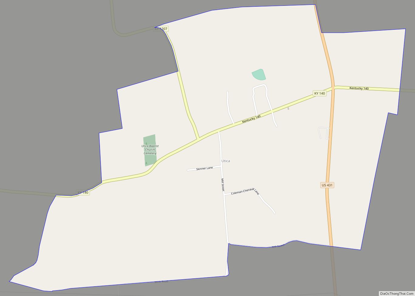
Online Interactive Map
Click on ![]() to view map in "full screen" mode.
to view map in "full screen" mode.
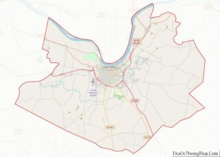
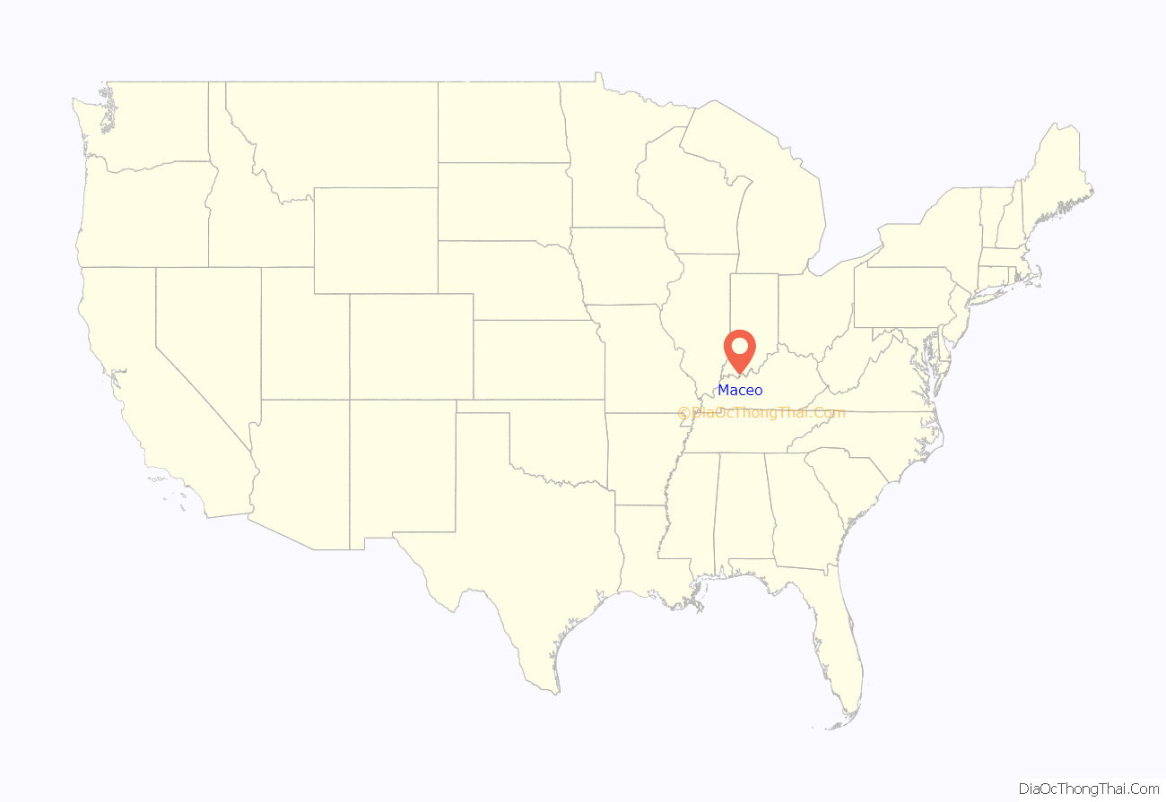
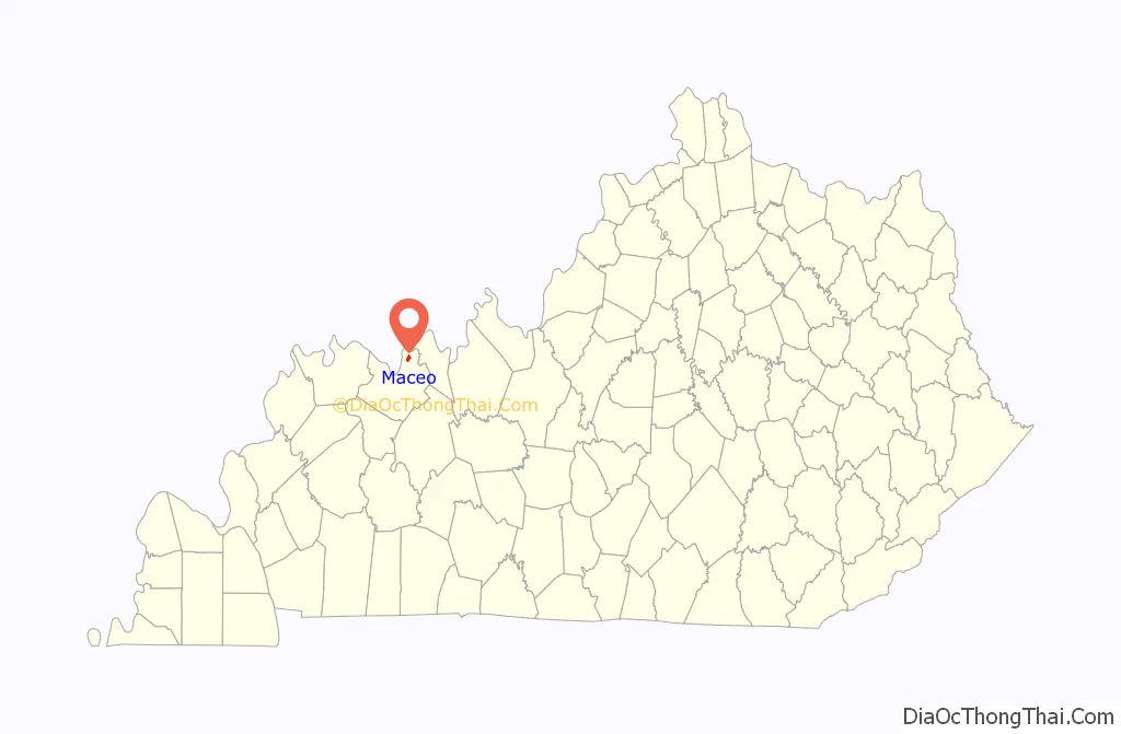
Maceo location map. Where is Maceo CDP?
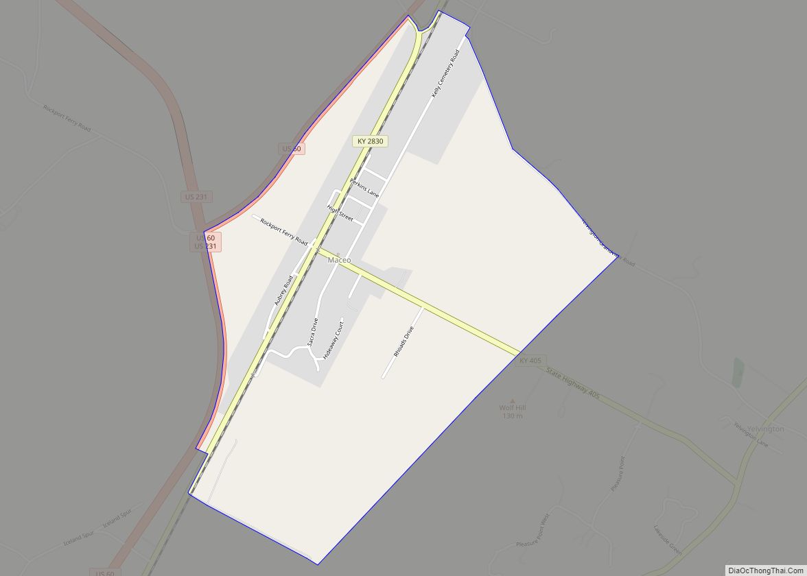
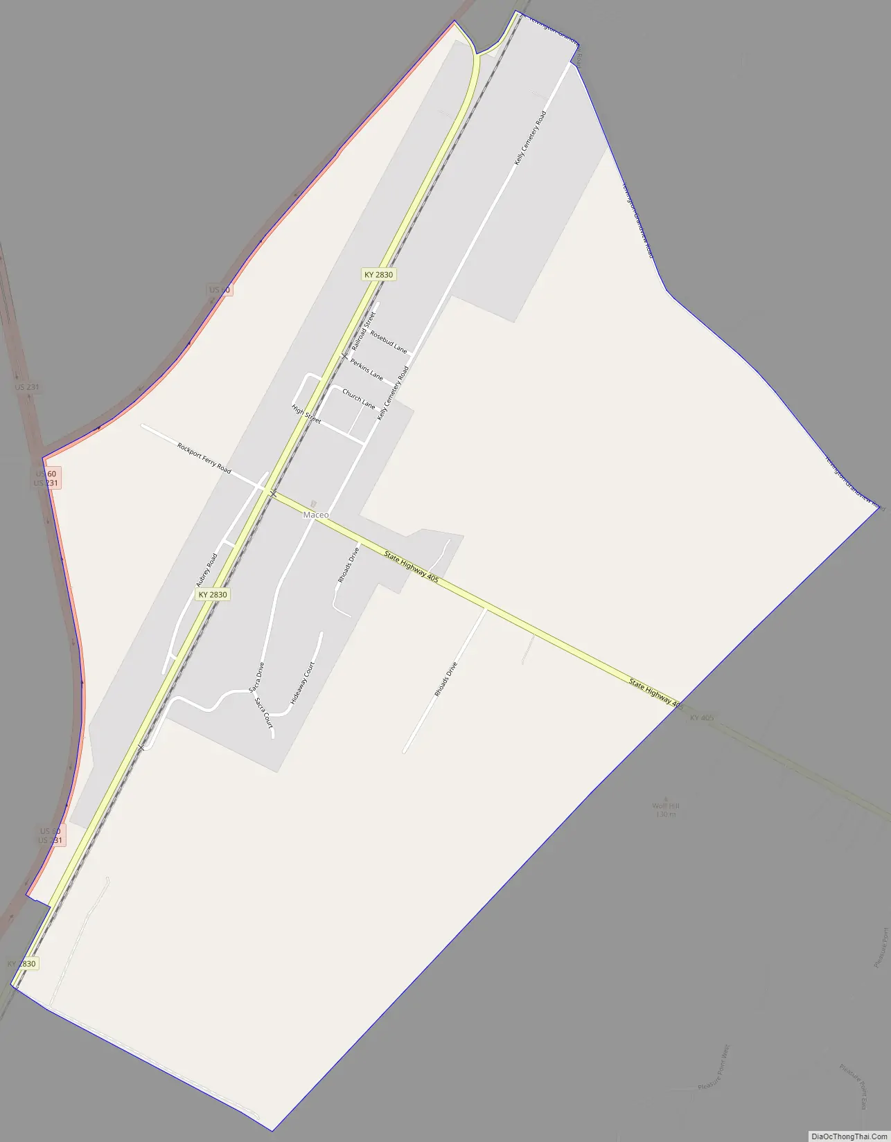
Maceo Road Map
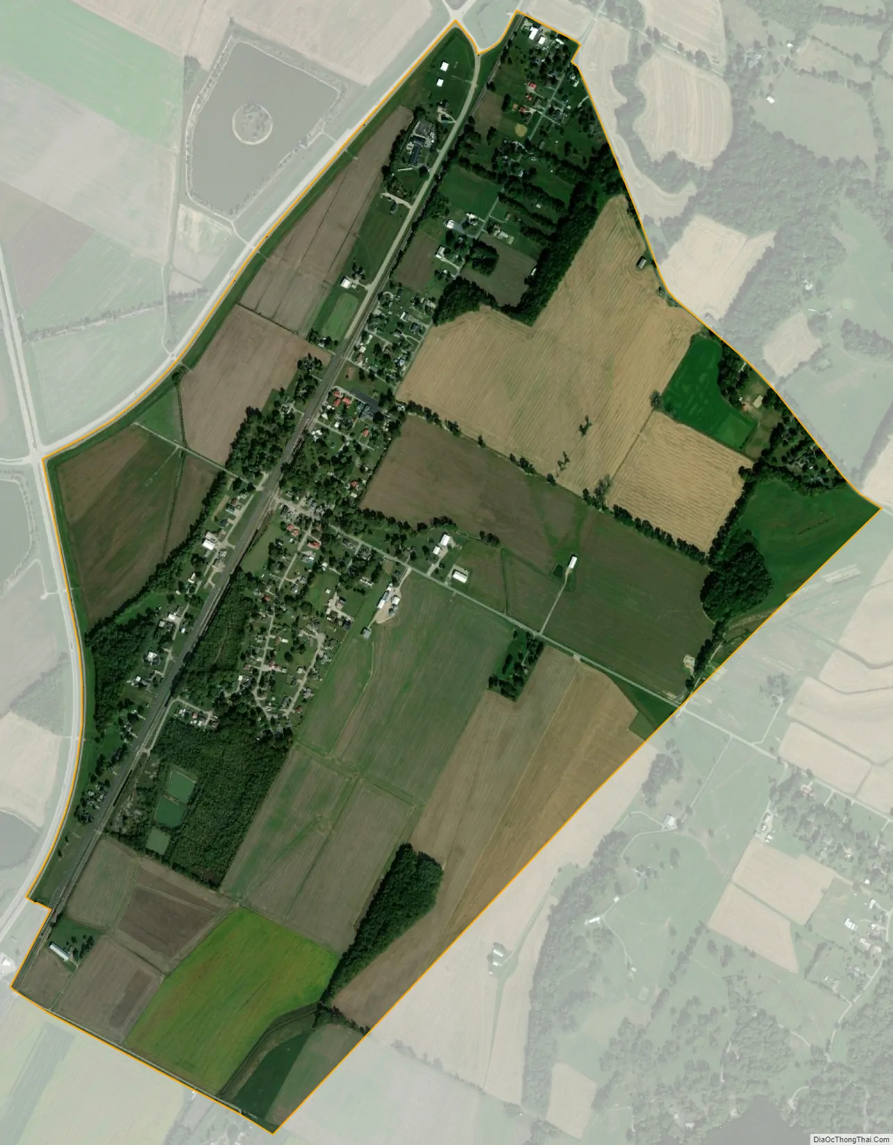
Maceo city Satellite Map
Geography
Maceo is located in northeastern Daviess County at the junction of Kentucky Route 2830 and Kentucky Route 405, near U.S. Route 60, 9 miles (14 km) northeast of Owensboro. U.S. Route 231 diverges from US 60 at Maceo, leading north to cross the Ohio River into Indiana on the William H. Natcher Bridge, which opened in 2002. Maceo has two cemeteries called Kelly Cemetery and Iron Ore Hill Cemetery and a post office with ZIP code 42355.
According to the U.S. Census Bureau, the Maceo CDP has an area of 1.49 square miles (3.85 km), all land.
See also
Map of Kentucky State and its subdivision:- Adair
- Allen
- Anderson
- Ballard
- Barren
- Bath
- Bell
- Boone
- Bourbon
- Boyd
- Boyle
- Bracken
- Breathitt
- Breckinridge
- Bullitt
- Butler
- Caldwell
- Calloway
- Campbell
- Carlisle
- Carroll
- Carter
- Casey
- Christian
- Clark
- Clay
- Clinton
- Crittenden
- Cumberland
- Daviess
- Edmonson
- Elliott
- Estill
- Fayette
- Fleming
- Floyd
- Franklin
- Fulton
- Gallatin
- Garrard
- Grant
- Graves
- Grayson
- Green
- Greenup
- Hancock
- Hardin
- Harlan
- Harrison
- Hart
- Henderson
- Henry
- Hickman
- Hopkins
- Jackson
- Jefferson
- Jessamine
- Johnson
- Kenton
- Knott
- Knox
- Larue
- Laurel
- Lawrence
- Lee
- Leslie
- Letcher
- Lewis
- Lincoln
- Livingston
- Logan
- Lyon
- Madison
- Magoffin
- Marion
- Marshall
- Martin
- Mason
- McCracken
- McCreary
- McLean
- Meade
- Menifee
- Mercer
- Metcalfe
- Monroe
- Montgomery
- Morgan
- Muhlenberg
- Nelson
- Nicholas
- Ohio
- Oldham
- Owen
- Owsley
- Pendleton
- Perry
- Pike
- Powell
- Pulaski
- Robertson
- Rockcastle
- Rowan
- Russell
- Scott
- Shelby
- Simpson
- Spencer
- Taylor
- Todd
- Trigg
- Trimble
- Union
- Warren
- Washington
- Wayne
- Webster
- Whitley
- Wolfe
- Woodford
- Alabama
- Alaska
- Arizona
- Arkansas
- California
- Colorado
- Connecticut
- Delaware
- District of Columbia
- Florida
- Georgia
- Hawaii
- Idaho
- Illinois
- Indiana
- Iowa
- Kansas
- Kentucky
- Louisiana
- Maine
- Maryland
- Massachusetts
- Michigan
- Minnesota
- Mississippi
- Missouri
- Montana
- Nebraska
- Nevada
- New Hampshire
- New Jersey
- New Mexico
- New York
- North Carolina
- North Dakota
- Ohio
- Oklahoma
- Oregon
- Pennsylvania
- Rhode Island
- South Carolina
- South Dakota
- Tennessee
- Texas
- Utah
- Vermont
- Virginia
- Washington
- West Virginia
- Wisconsin
- Wyoming