Oakland is a home rule-class city in Warren County, Kentucky, in the United States. The population was 260 during the year 2000 U.S. Census. It is included in the Bowling Green metropolitan area.
| Name: | Oakland city |
|---|---|
| LSAD Code: | 25 |
| LSAD Description: | city (suffix) |
| State: | Kentucky |
| County: | Warren County |
| Incorporated: | 1977 |
| Elevation: | 584 ft (178 m) |
| Total Area: | 1.41 sq mi (3.64 km²) |
| Land Area: | 1.40 sq mi (3.62 km²) |
| Water Area: | 0.01 sq mi (0.03 km²) |
| Total Population: | 198 |
| Population Density: | 141.73/sq mi (54.72/km²) |
| ZIP code: | 42159 |
| Area code: | 270 |
| FIPS code: | 2157144 |
| GNISfeature ID: | 0499732 |
| Website: | oakland.ky.gov |
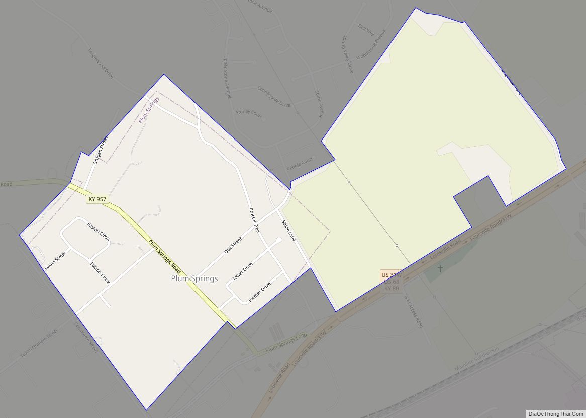
Online Interactive Map
Click on ![]() to view map in "full screen" mode.
to view map in "full screen" mode.
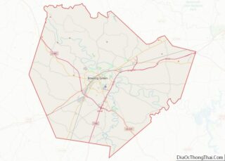
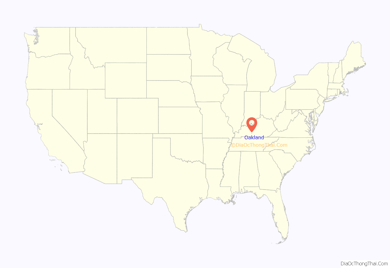
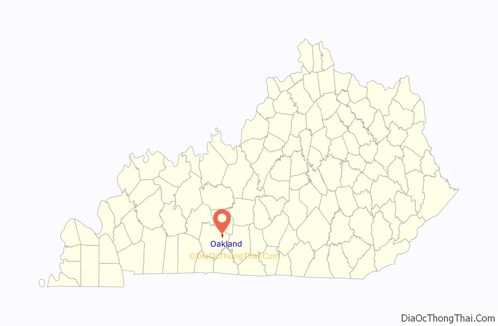
Oakland location map. Where is Oakland city?
History
In 1859, the city was named for its many oak trees by pioneer William Radford.
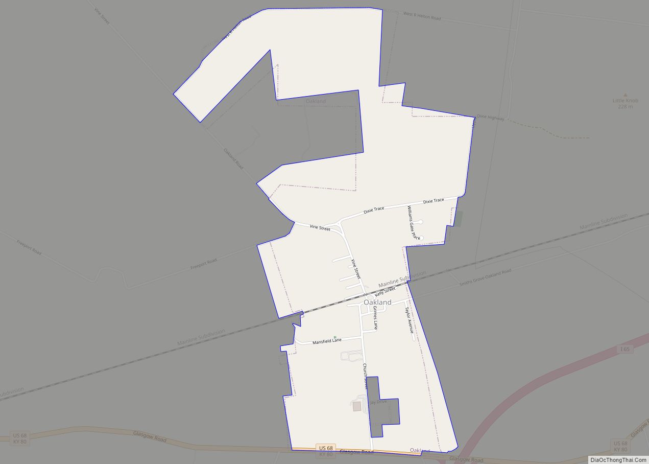
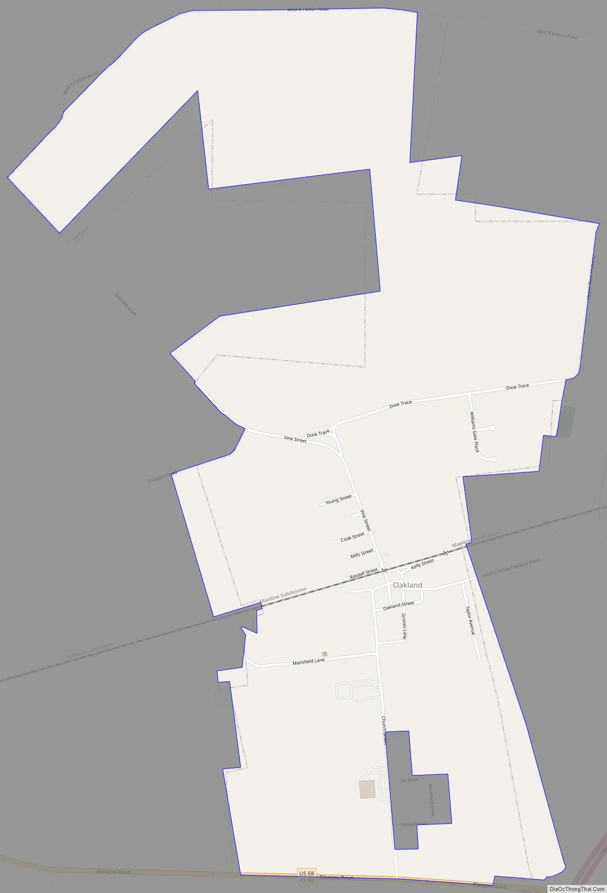
Oakland Road Map
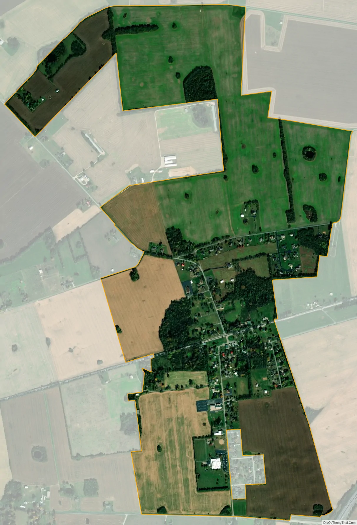
Oakland city Satellite Map
Geography
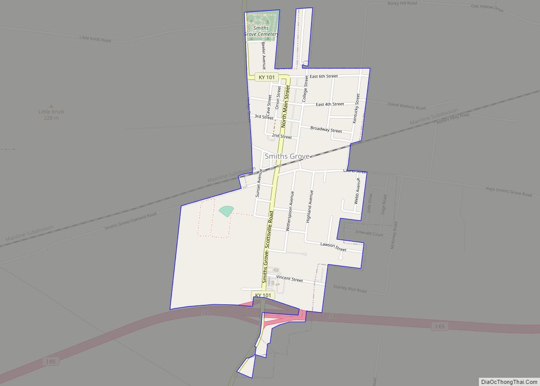
Oakland is located at 37°2′30″N 86°14′58″W / 37.04167°N 86.24944°W / 37.04167; -86.24944 (37.041675, -86.249344). According to the United States Census Bureau, the city has a total area of 1.4 square miles (3.6 km), all land. The city is situated northeast of Bowling Green in an area bordered by U.S. Route 68 on the south, and extending northward in the direction of U.S. Route 31W. Interstate 65 passes south of Oakland. The city of Smiths Grove lies just to the east.
See also
Map of Kentucky State and its subdivision:- Adair
- Allen
- Anderson
- Ballard
- Barren
- Bath
- Bell
- Boone
- Bourbon
- Boyd
- Boyle
- Bracken
- Breathitt
- Breckinridge
- Bullitt
- Butler
- Caldwell
- Calloway
- Campbell
- Carlisle
- Carroll
- Carter
- Casey
- Christian
- Clark
- Clay
- Clinton
- Crittenden
- Cumberland
- Daviess
- Edmonson
- Elliott
- Estill
- Fayette
- Fleming
- Floyd
- Franklin
- Fulton
- Gallatin
- Garrard
- Grant
- Graves
- Grayson
- Green
- Greenup
- Hancock
- Hardin
- Harlan
- Harrison
- Hart
- Henderson
- Henry
- Hickman
- Hopkins
- Jackson
- Jefferson
- Jessamine
- Johnson
- Kenton
- Knott
- Knox
- Larue
- Laurel
- Lawrence
- Lee
- Leslie
- Letcher
- Lewis
- Lincoln
- Livingston
- Logan
- Lyon
- Madison
- Magoffin
- Marion
- Marshall
- Martin
- Mason
- McCracken
- McCreary
- McLean
- Meade
- Menifee
- Mercer
- Metcalfe
- Monroe
- Montgomery
- Morgan
- Muhlenberg
- Nelson
- Nicholas
- Ohio
- Oldham
- Owen
- Owsley
- Pendleton
- Perry
- Pike
- Powell
- Pulaski
- Robertson
- Rockcastle
- Rowan
- Russell
- Scott
- Shelby
- Simpson
- Spencer
- Taylor
- Todd
- Trigg
- Trimble
- Union
- Warren
- Washington
- Wayne
- Webster
- Whitley
- Wolfe
- Woodford
- Alabama
- Alaska
- Arizona
- Arkansas
- California
- Colorado
- Connecticut
- Delaware
- District of Columbia
- Florida
- Georgia
- Hawaii
- Idaho
- Illinois
- Indiana
- Iowa
- Kansas
- Kentucky
- Louisiana
- Maine
- Maryland
- Massachusetts
- Michigan
- Minnesota
- Mississippi
- Missouri
- Montana
- Nebraska
- Nevada
- New Hampshire
- New Jersey
- New Mexico
- New York
- North Carolina
- North Dakota
- Ohio
- Oklahoma
- Oregon
- Pennsylvania
- Rhode Island
- South Carolina
- South Dakota
- Tennessee
- Texas
- Utah
- Vermont
- Virginia
- Washington
- West Virginia
- Wisconsin
- Wyoming