Arcadia is a town in Jackson Township, Hamilton County, Indiana, United States. The population was 1,666 at the 2010 census.
| Name: | Arcadia town |
|---|---|
| LSAD Code: | 43 |
| LSAD Description: | town (suffix) |
| State: | Indiana |
| County: | Hamilton County |
| Elevation: | 860 ft (262 m) |
| Total Area: | 0.55 sq mi (1.43 km²) |
| Land Area: | 0.55 sq mi (1.43 km²) |
| Water Area: | 0.00 sq mi (0.00 km²) |
| Total Population: | 1,515 |
| Population Density: | 2,749.55/sq mi (1,061.70/km²) |
| ZIP code: | 46030 |
| Area code: | 317 |
| FIPS code: | 1801954 |
Online Interactive Map
Click on ![]() to view map in "full screen" mode.
to view map in "full screen" mode.
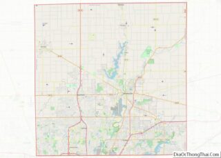
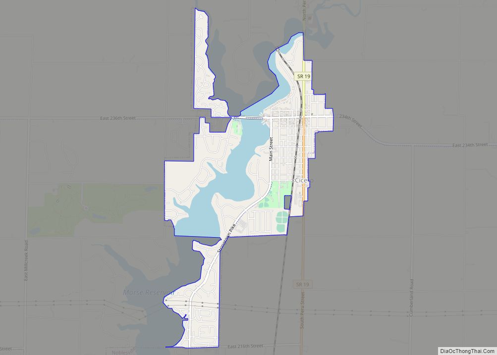
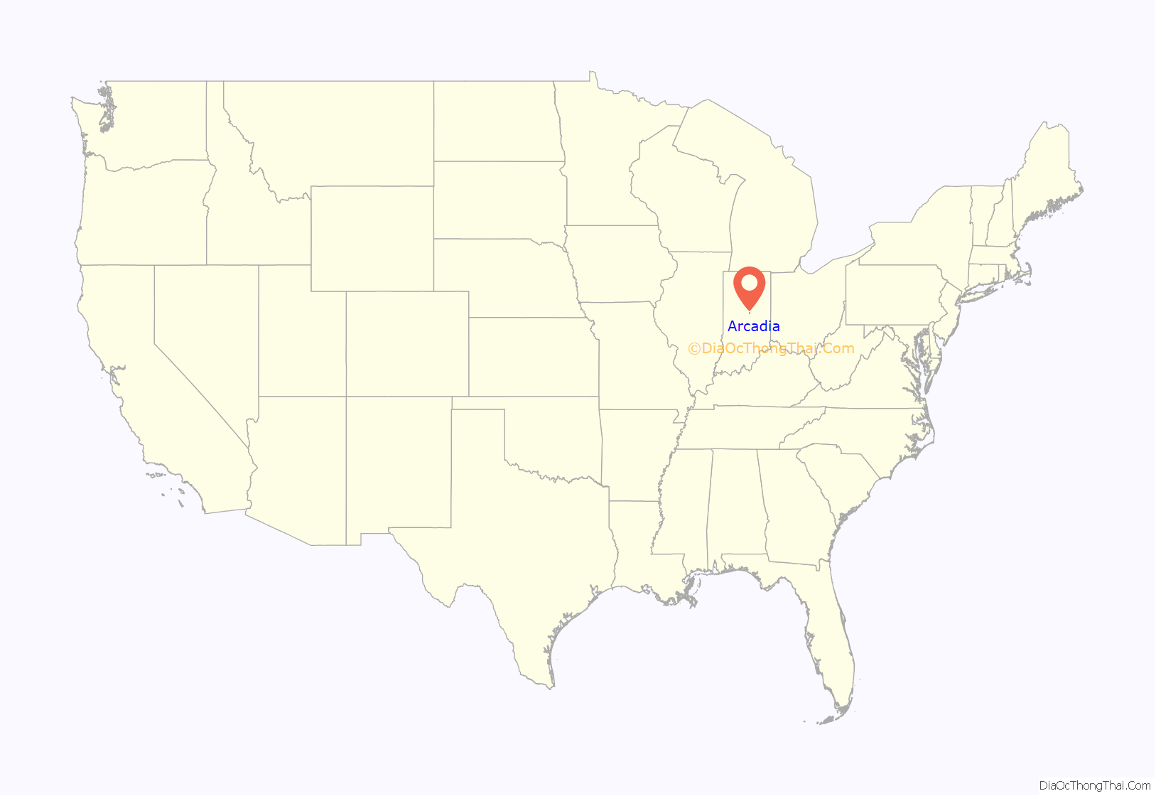
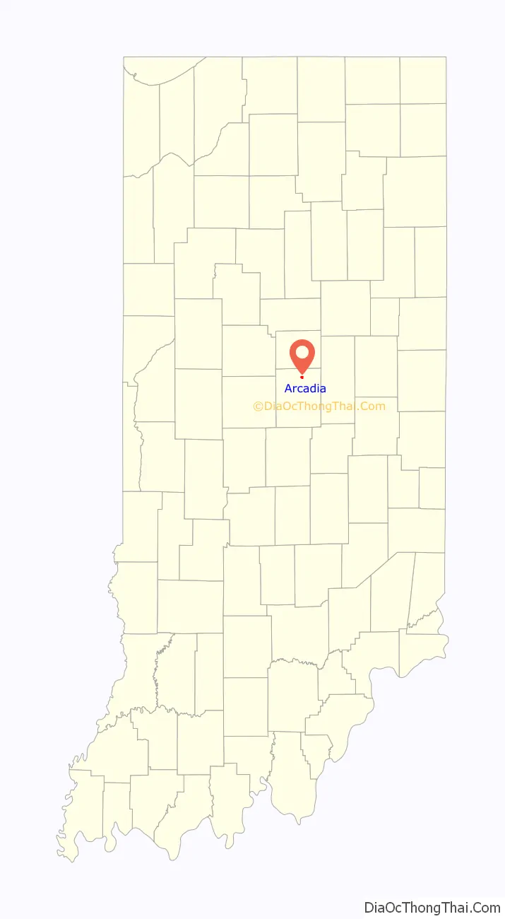
Arcadia location map. Where is Arcadia town?
History
Settlers began to move into the area as early as 1833, when Hencil Bartholomew bought property near present day Arcadia, and other settlers quickly followed. On December 12, 1836, John and Harriet Shaffer bought 160 acres of land adjacent to a plot owned by Daniel and Matilda Waltz, which was later to become the heart of downtown Arcadia.
Railroad
On January 18, 1846, the Peru and Indianapolis Railroad (P&I) was incorporated to construct and operate a line from Peru, Indiana, to Indianapolis to connect with the Jeffersonville, Madison and Indianapolis Railroad (JMI). By 1849 the town was laid out when the railroad had surveyed a route across the land owned by Shaffer and Waltz, and a year later in 1850, the two men donated the land on which the town was founded, which was plotted the next year by Isaac Martz. According to tradition, the town was originally to be named “Shaltz”, combining the names of the two men Shaffer and Waltz, but the official naming was left up to Judge Jeremiah Smith, who called it Arcadia, after the ancient region of Greece. The Arcadia post office opened in 1852. At this time, the site was heavily wooded, and described as “low” and marshy. After the town was laid out, the woods were cleared and streets paved with gravel, and their upkeep was paid for by a toll of 10 cents for a horse and buggy and 12 cents for a horse and wagon. The land was drained by two large open ditches, later spanned by crude log bridges. Early sidewalks were raised wooden platforms, later replaced by gravel and sawdust.
Manufacturing and Industry
By 1852, the railroad was complete, which included a north and south road constructed by the railroad which ran from Indianapolis to Peru, Indiana. Immediately Arcadia enjoyed steady growth as a farming community, and attracted a wide variety of businesses, which in the early years included a cigar factory, a cabinet shop, a flour and sawmill, and a planing mill to manufacture building materials.
The town continued to attract new businesses through the end of the century. By the 1880s the town included a wagon shop, a drug store, a butcher shop, a hardware store, and a number of dry goods and grocery stores, a furniture store, an undertaker, and two grain elevators. In 1888, the Frankfort Oil and Gas Company drilled for natural gas and struck a vein which ran from Arcadia and to the southwest for some six miles, which caused a small boom in industry. By 1880, eastern factories had used most of the timber they needed for fuel, and were moving west where coal was plentiful, but natural gas allowed them to fire kilns used in glass and brick manufacturing. A brick plant was opened by George Walters and B. P. Hollett, which supplied brick for miles up and down the Erie Railroad, using clay from nearby land. The Baker Glass Company moved operations from Findley, Ohio in 1894, using gas donated by the town, and later the Flint House Glass Company set up a factory to manufacture lamp chimneys. In 1898, the Arcadia Cheese Factory was opened by E. Wiles and John Burris, manufacturing an average of 200 lbs. of cheese a day. In about 1890, the first creamery was established in Arcadia by Toll Driver.
Education
As early as 1840, a school of hewed logs was built on wooded property donated by Moses Martz. School terms lasted three months, financed by private subscriptions of $1.50 per pupil.
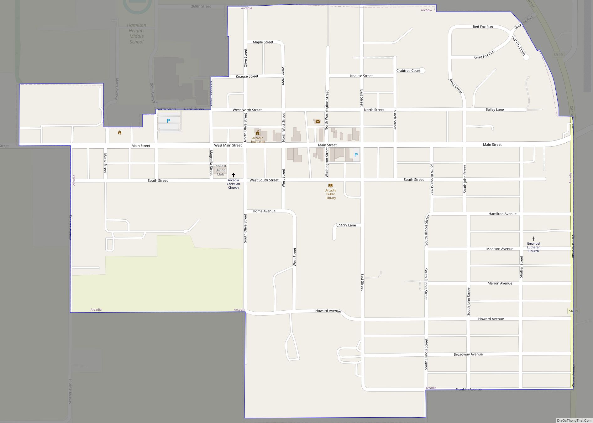
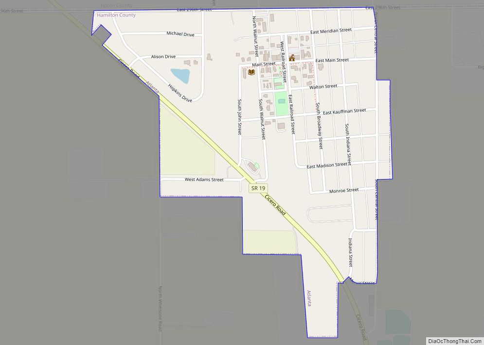
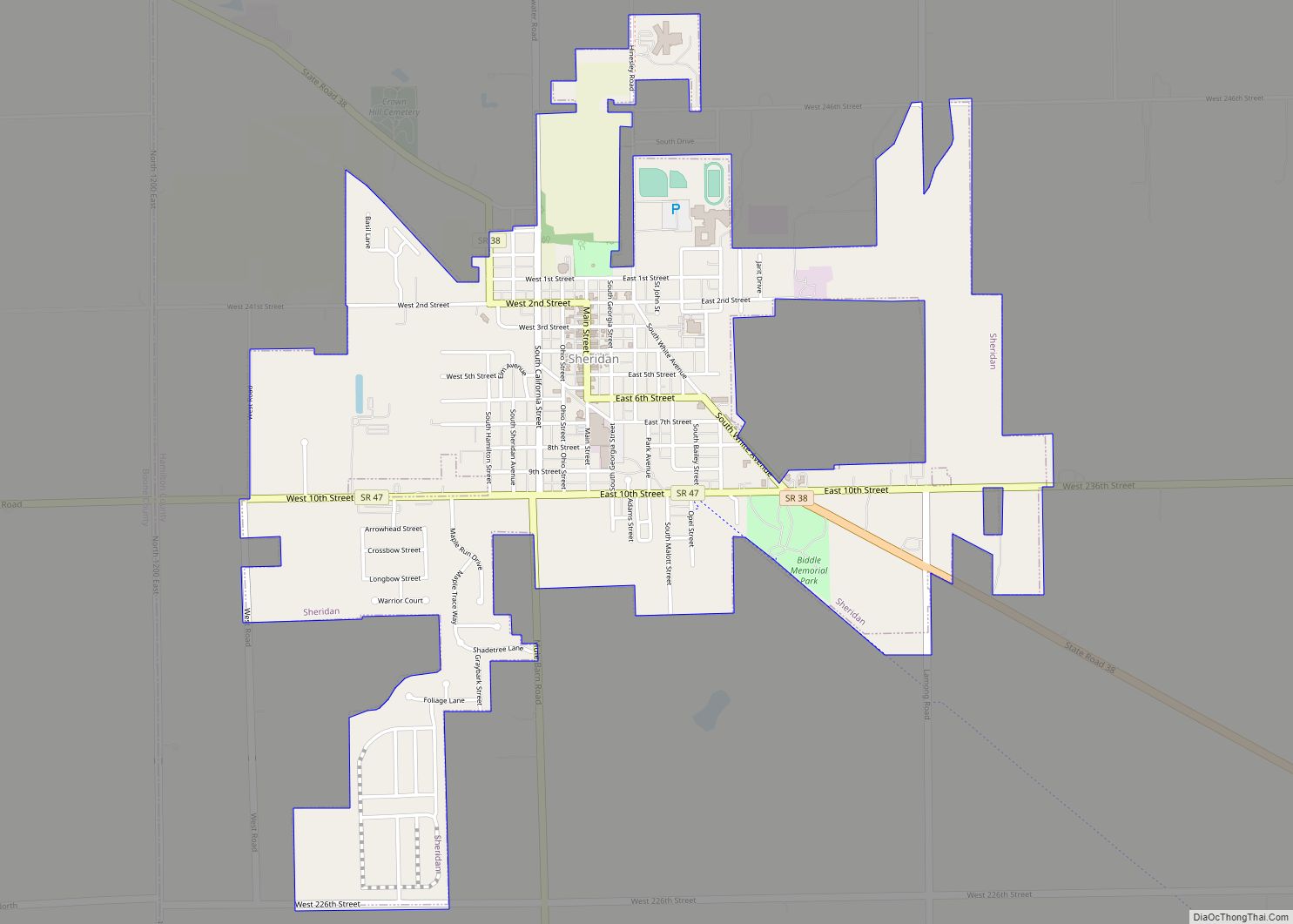
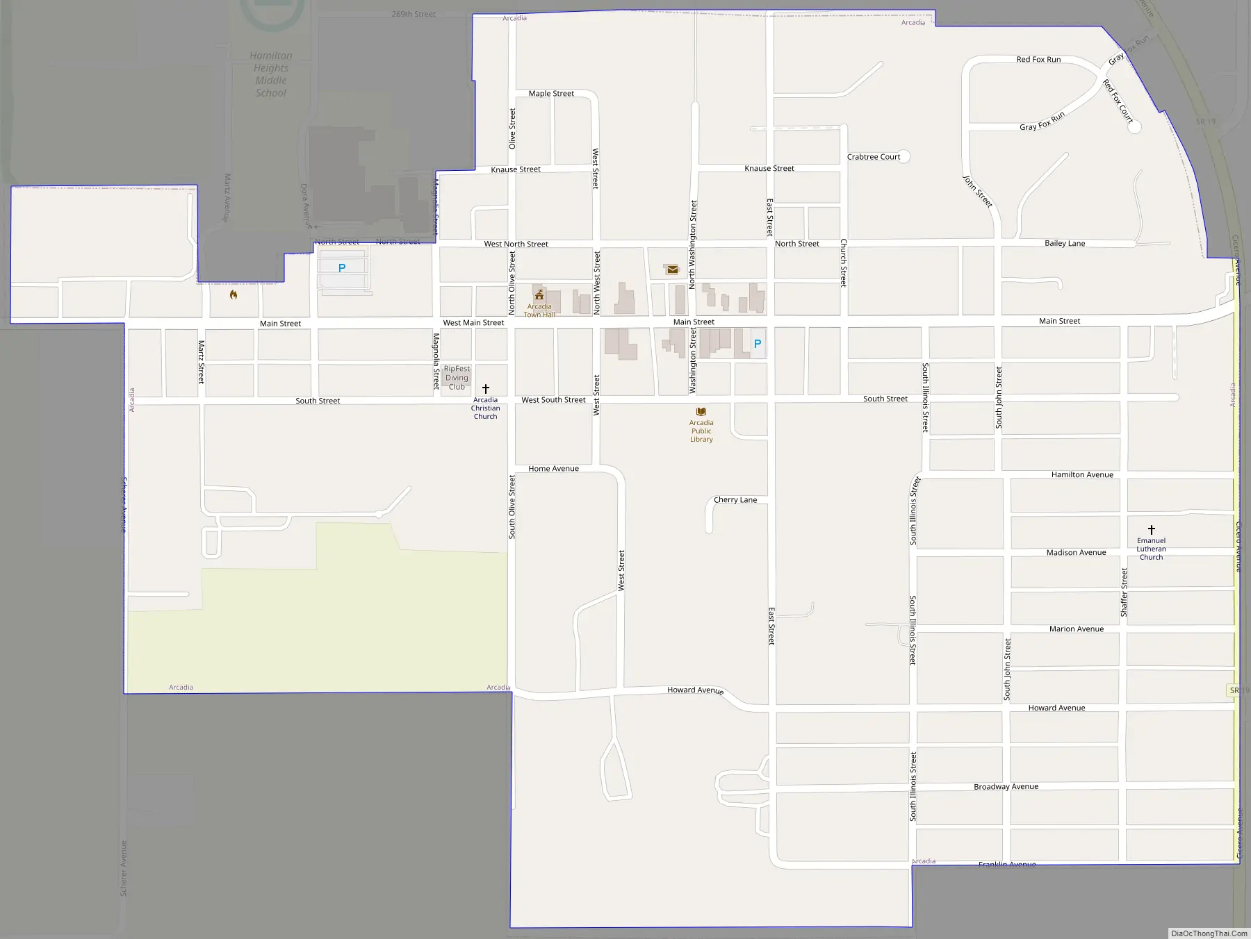
Arcadia Road Map
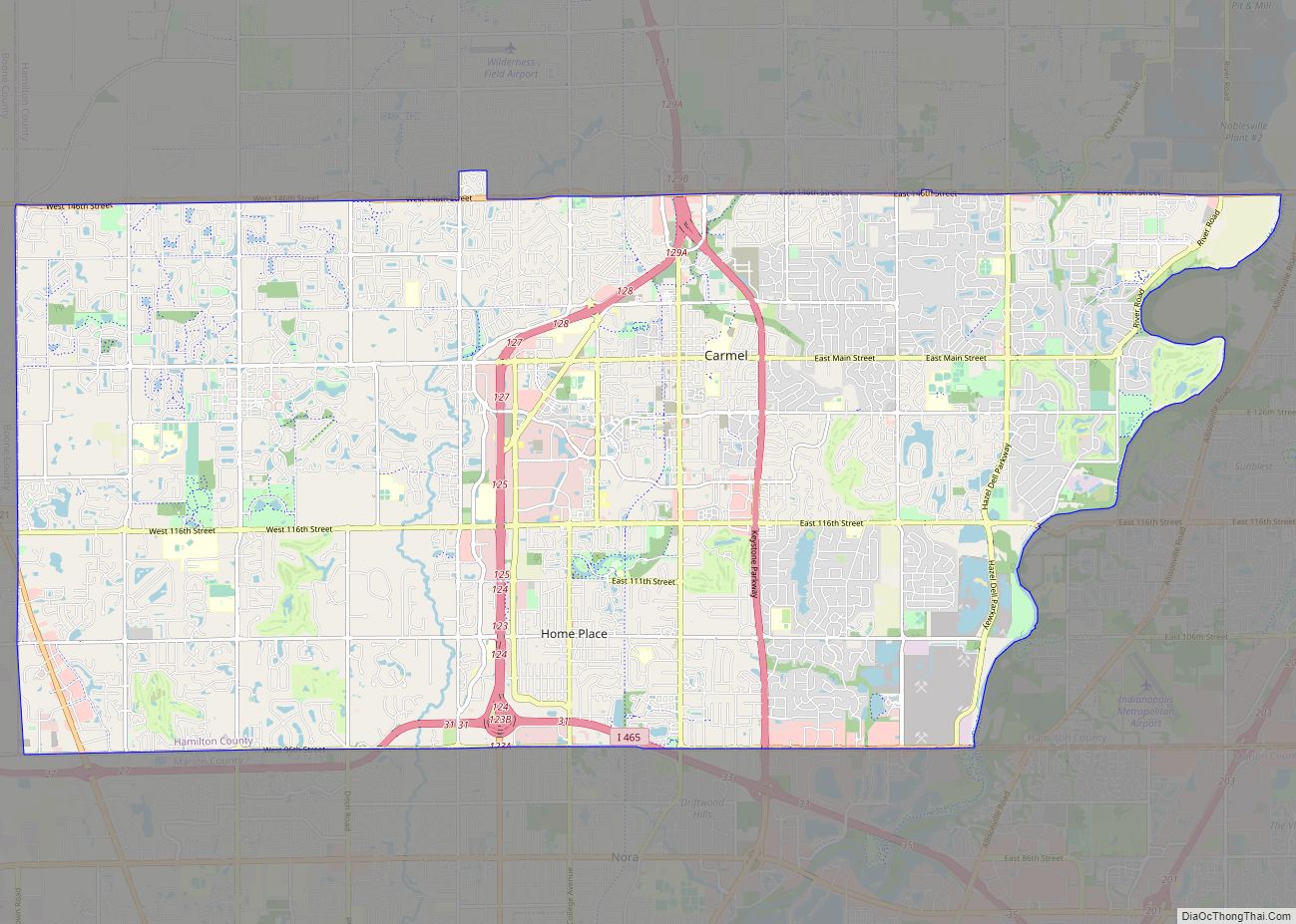
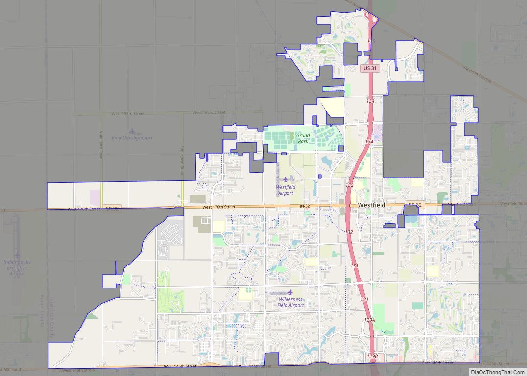
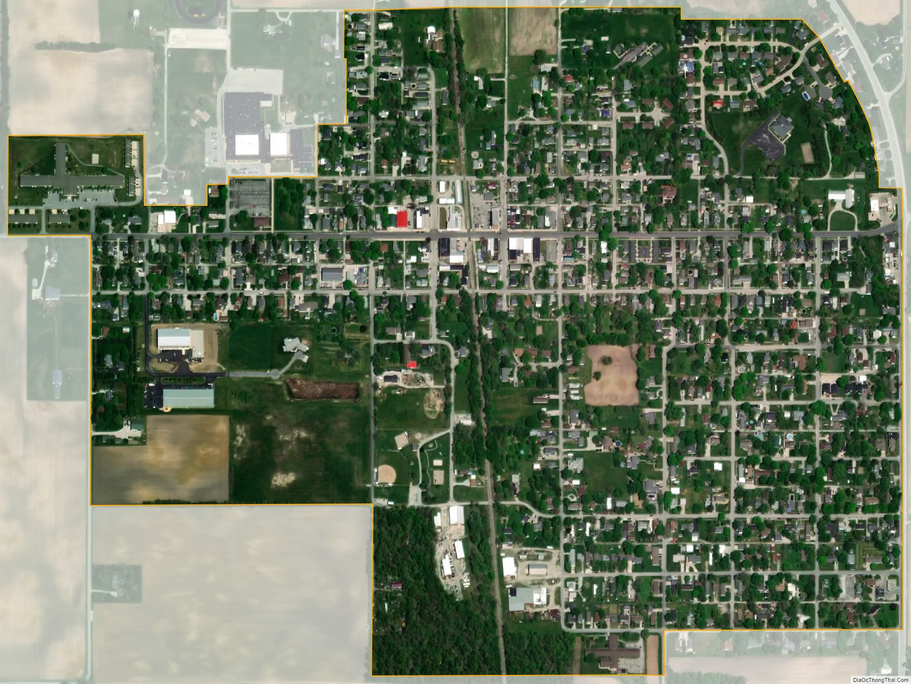
Arcadia city Satellite Map
Geography
Arcadia is located at 40°10′32″N 86°1′11″W / 40.17556°N 86.01972°W / 40.17556; -86.01972 (40.175429, -86.019776).
According to the 2010 census, Arcadia has a total area of 0.56 square miles (1.45 km), all land.
See also
Map of Indiana State and its subdivision:- Adams
- Allen
- Bartholomew
- Benton
- Blackford
- Boone
- Brown
- Carroll
- Cass
- Clark
- Clay
- Clinton
- Crawford
- Daviess
- De Kalb
- Dearborn
- Decatur
- Delaware
- Dubois
- Elkhart
- Fayette
- Floyd
- Fountain
- Franklin
- Fulton
- Gibson
- Grant
- Greene
- Hamilton
- Hancock
- Harrison
- Hendricks
- Henry
- Howard
- Huntington
- Jackson
- Jasper
- Jay
- Jefferson
- Jennings
- Johnson
- Knox
- Kosciusko
- LaGrange
- Lake
- Lake Michigan
- LaPorte
- Lawrence
- Madison
- Marion
- Marshall
- Martin
- Miami
- Monroe
- Montgomery
- Morgan
- Newton
- Noble
- Ohio
- Orange
- Owen
- Parke
- Perry
- Pike
- Porter
- Posey
- Pulaski
- Putnam
- Randolph
- Ripley
- Rush
- Saint Joseph
- Scott
- Shelby
- Spencer
- Starke
- Steuben
- Sullivan
- Switzerland
- Tippecanoe
- Tipton
- Union
- Vanderburgh
- Vermillion
- Vigo
- Wabash
- Warren
- Warrick
- Washington
- Wayne
- Wells
- White
- Whitley
- Alabama
- Alaska
- Arizona
- Arkansas
- California
- Colorado
- Connecticut
- Delaware
- District of Columbia
- Florida
- Georgia
- Hawaii
- Idaho
- Illinois
- Indiana
- Iowa
- Kansas
- Kentucky
- Louisiana
- Maine
- Maryland
- Massachusetts
- Michigan
- Minnesota
- Mississippi
- Missouri
- Montana
- Nebraska
- Nevada
- New Hampshire
- New Jersey
- New Mexico
- New York
- North Carolina
- North Dakota
- Ohio
- Oklahoma
- Oregon
- Pennsylvania
- Rhode Island
- South Carolina
- South Dakota
- Tennessee
- Texas
- Utah
- Vermont
- Virginia
- Washington
- West Virginia
- Wisconsin
- Wyoming