New Goshen is a census-designated place (CDP) in Fayette Township, Vigo County, in the U.S. state of Indiana. It is part of the Terre Haute Metropolitan Statistical Area.
| Name: | New Goshen CDP |
|---|---|
| LSAD Code: | 57 |
| LSAD Description: | CDP (suffix) |
| State: | Indiana |
| County: | Vigo County |
| Elevation: | 643 ft (196 m) |
| Total Area: | 3.34 sq mi (8.64 km²) |
| Land Area: | 3.31 sq mi (8.57 km²) |
| Water Area: | 0.03 sq mi (0.07 km²) |
| Total Population: | 402 |
| Population Density: | 121.45/sq mi (46.89/km²) |
| ZIP code: | 47863 |
| Area code: | 812, 930 |
| FIPS code: | 1852956 |
| GNISfeature ID: | 440049 |
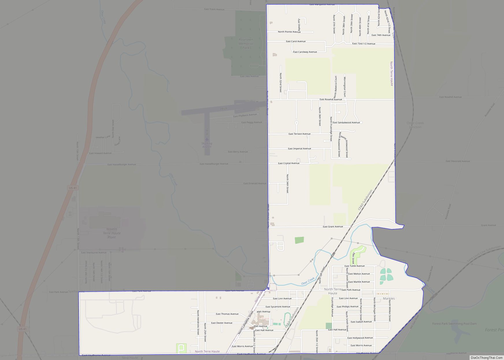
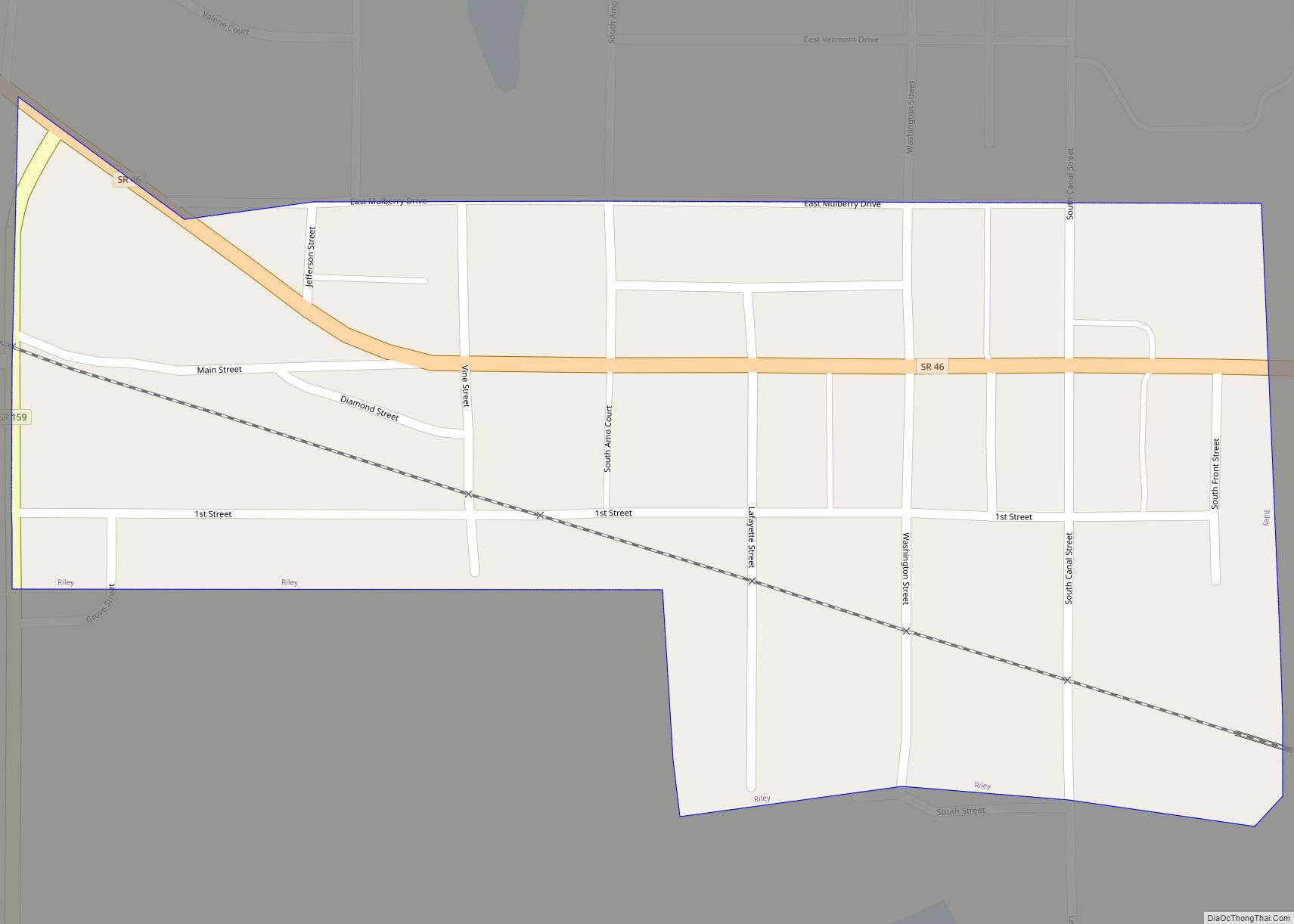
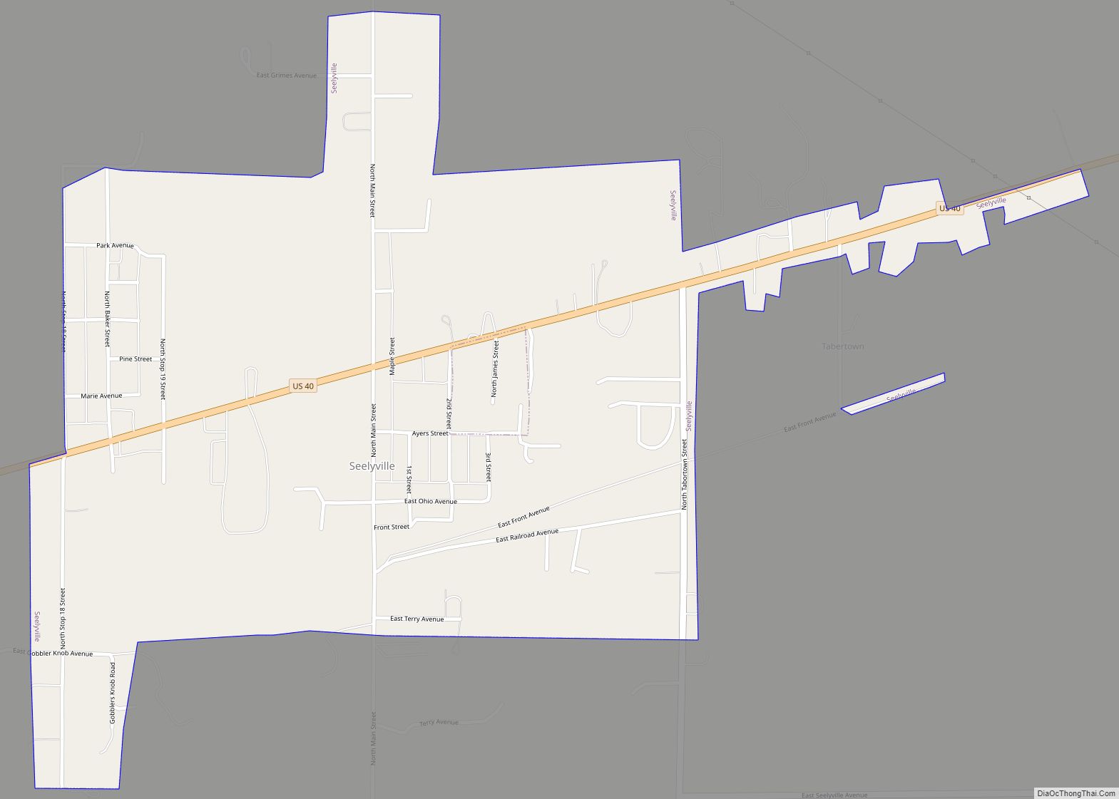
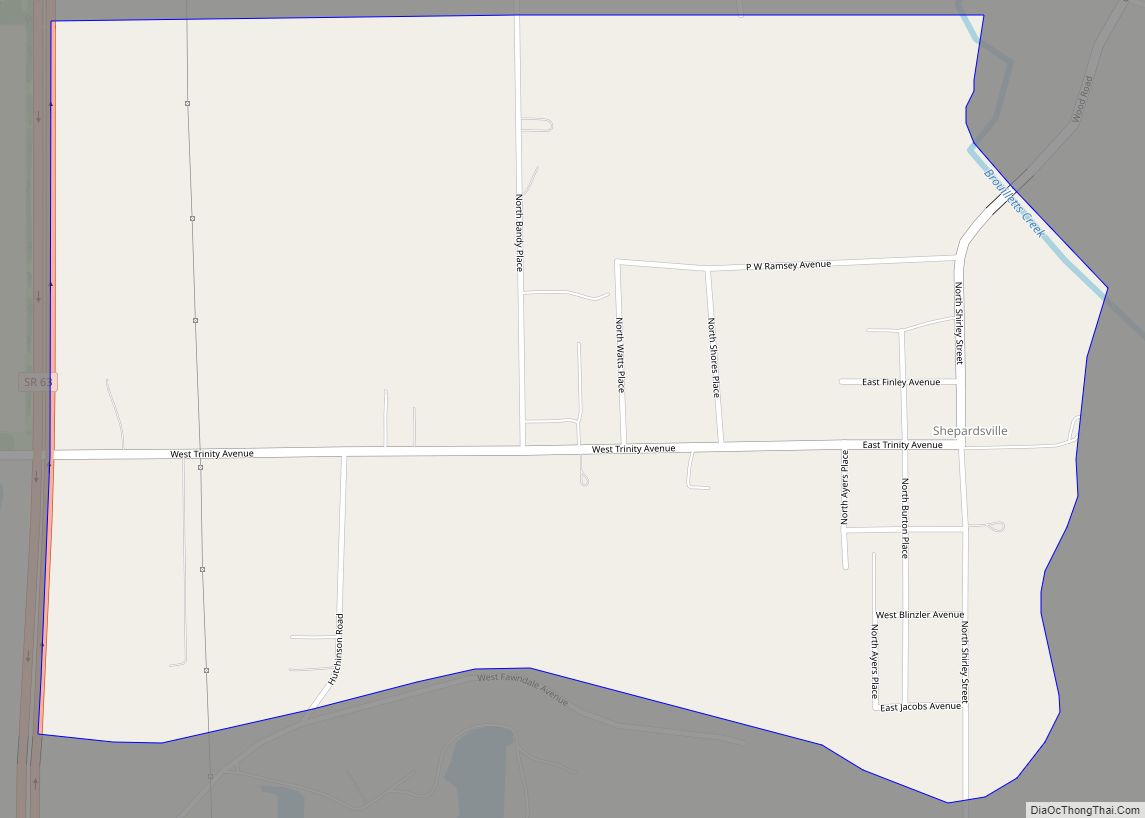
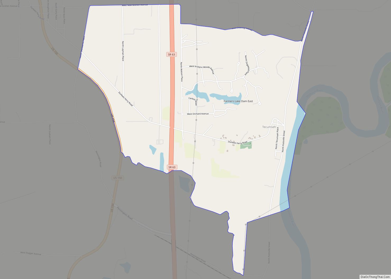
Online Interactive Map
Click on ![]() to view map in "full screen" mode.
to view map in "full screen" mode.
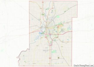
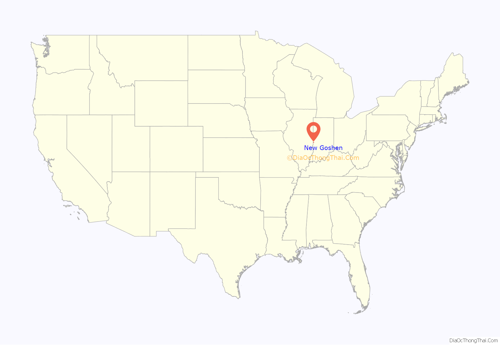
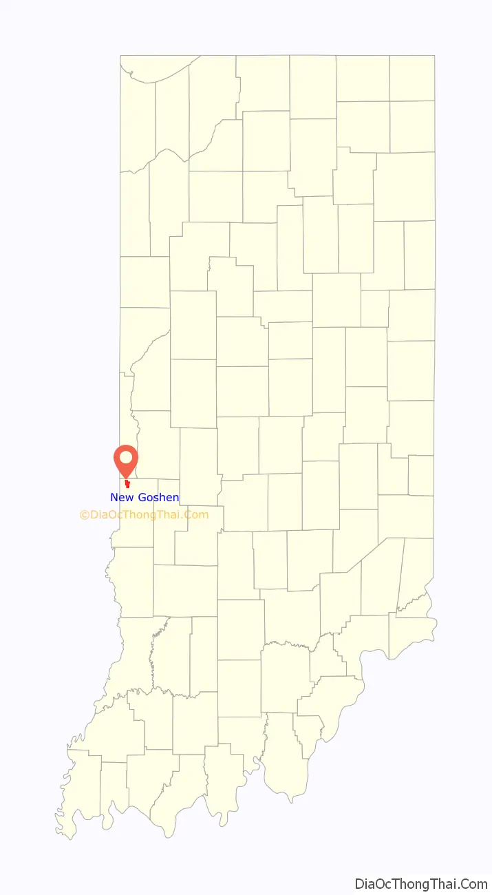
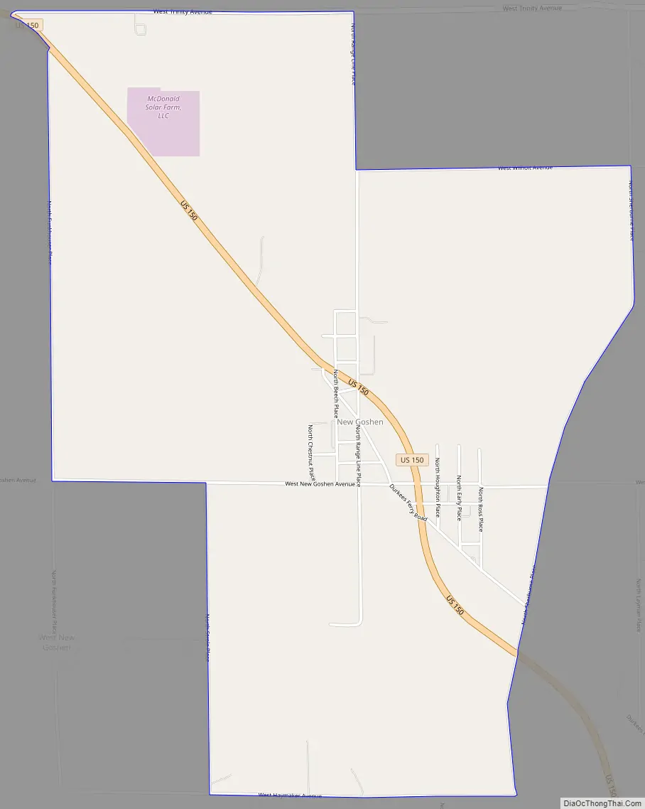
New Goshen location map. Where is New Goshen CDP?
History
New Goshen was platted and laid out May 17, 1853, by Hamilton Smith, William Ferguson, George Smith and John Hay. As of 1890 the population was approximately 180. Future U.S. Senator Birch Bayh was a resident and graduated from New Goshen High; New Goshen High closed in 1959 and was consolidated into today’s West Vigo High School.
The post office at New Goshen has been in operation since 1851.
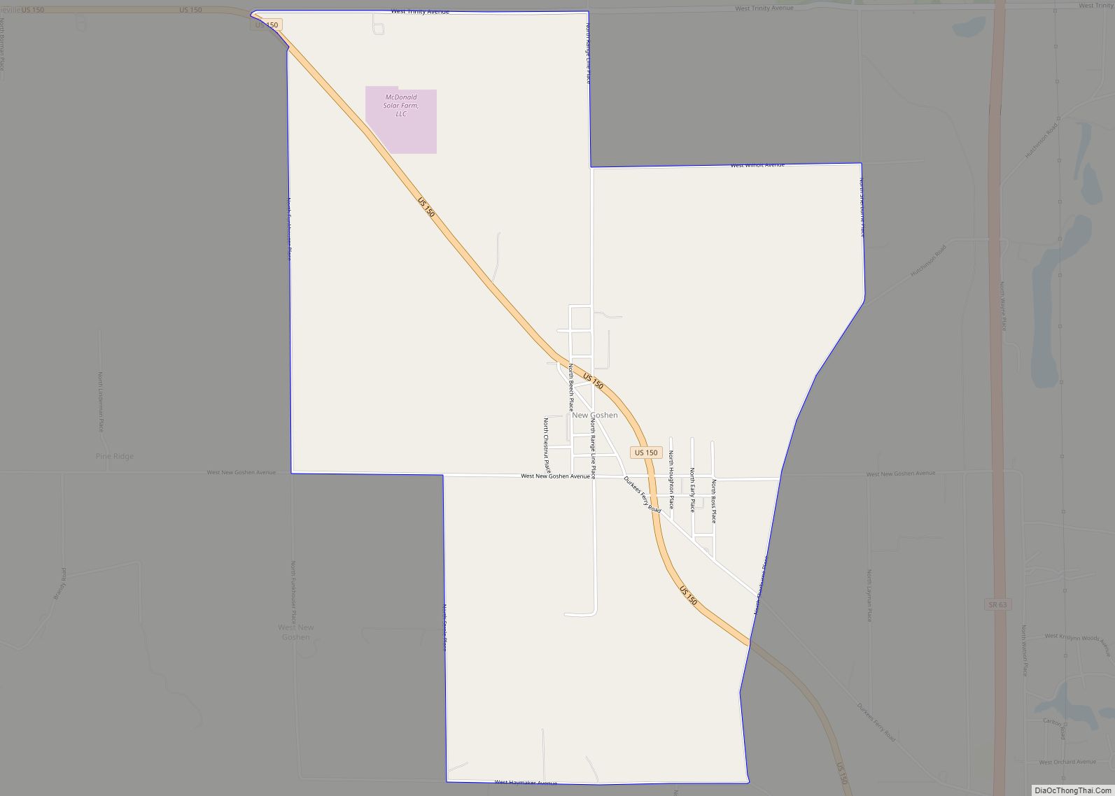
New Goshen Road Map
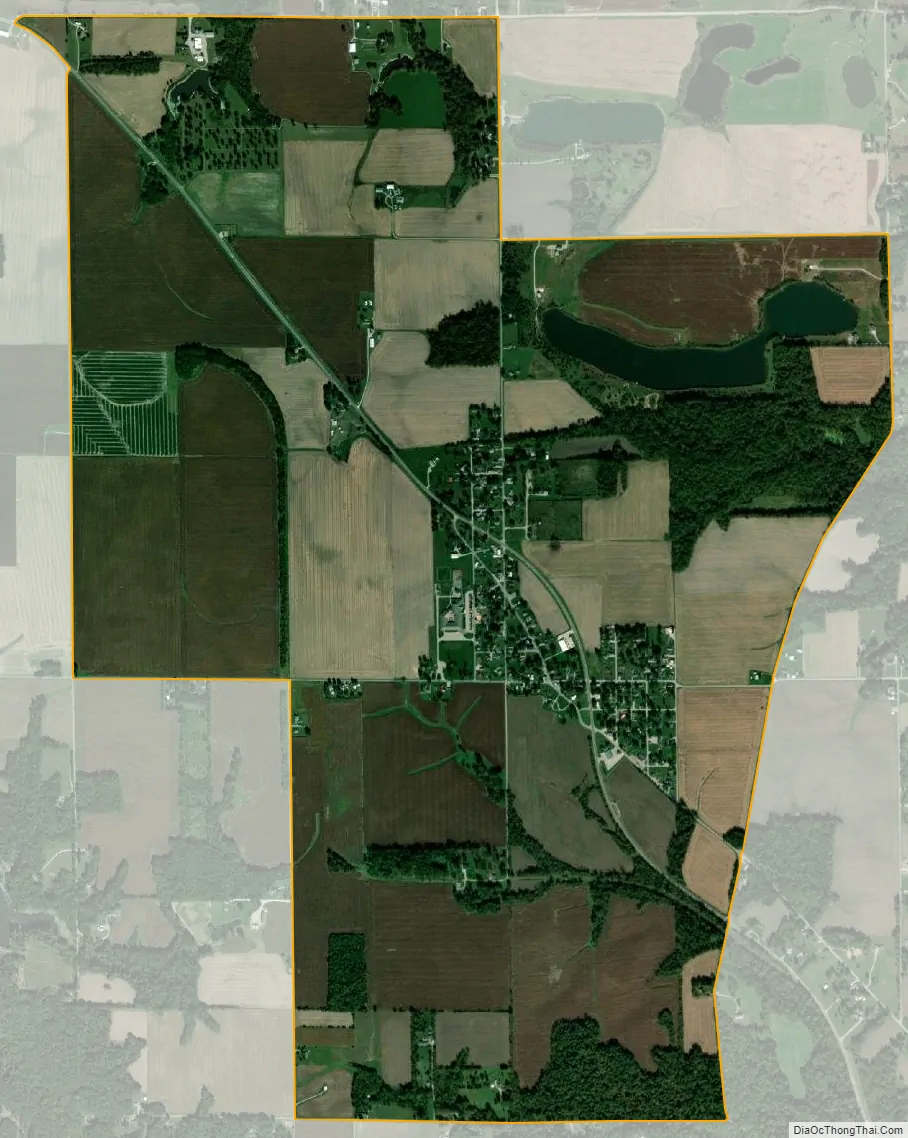
New Goshen city Satellite Map
Geography
New Goshen is located at 39°34′52″N 87°27′44″W / 39.58111°N 87.46222°W / 39.58111; -87.46222 at an elevation of 643 feet.
It is bisected by U.S. Route 150, which connects it to Paris, Illinois to the northwest and West Terre Haute, Indiana to the southwest.
See also
Map of Indiana State and its subdivision:- Adams
- Allen
- Bartholomew
- Benton
- Blackford
- Boone
- Brown
- Carroll
- Cass
- Clark
- Clay
- Clinton
- Crawford
- Daviess
- De Kalb
- Dearborn
- Decatur
- Delaware
- Dubois
- Elkhart
- Fayette
- Floyd
- Fountain
- Franklin
- Fulton
- Gibson
- Grant
- Greene
- Hamilton
- Hancock
- Harrison
- Hendricks
- Henry
- Howard
- Huntington
- Jackson
- Jasper
- Jay
- Jefferson
- Jennings
- Johnson
- Knox
- Kosciusko
- LaGrange
- Lake
- Lake Michigan
- LaPorte
- Lawrence
- Madison
- Marion
- Marshall
- Martin
- Miami
- Monroe
- Montgomery
- Morgan
- Newton
- Noble
- Ohio
- Orange
- Owen
- Parke
- Perry
- Pike
- Porter
- Posey
- Pulaski
- Putnam
- Randolph
- Ripley
- Rush
- Saint Joseph
- Scott
- Shelby
- Spencer
- Starke
- Steuben
- Sullivan
- Switzerland
- Tippecanoe
- Tipton
- Union
- Vanderburgh
- Vermillion
- Vigo
- Wabash
- Warren
- Warrick
- Washington
- Wayne
- Wells
- White
- Whitley
- Alabama
- Alaska
- Arizona
- Arkansas
- California
- Colorado
- Connecticut
- Delaware
- District of Columbia
- Florida
- Georgia
- Hawaii
- Idaho
- Illinois
- Indiana
- Iowa
- Kansas
- Kentucky
- Louisiana
- Maine
- Maryland
- Massachusetts
- Michigan
- Minnesota
- Mississippi
- Missouri
- Montana
- Nebraska
- Nevada
- New Hampshire
- New Jersey
- New Mexico
- New York
- North Carolina
- North Dakota
- Ohio
- Oklahoma
- Oregon
- Pennsylvania
- Rhode Island
- South Carolina
- South Dakota
- Tennessee
- Texas
- Utah
- Vermont
- Virginia
- Washington
- West Virginia
- Wisconsin
- Wyoming