Whiting is a city located in the Chicago Metropolitan Area in Lake County, Indiana, which was founded in 1889. The city is located on the southern shore of Lake Michigan. It is roughly 16 miles from the Chicago Loop and two miles from Chicago’s South Side. Whiting is home to Whiting Refinery, the largest oil refinery in the Midwest. The population was 4,997 at the 2010 census.
| Name: | Whiting city |
|---|---|
| LSAD Code: | 25 |
| LSAD Description: | city (suffix) |
| State: | Indiana |
| County: | Lake County |
| Elevation: | 587 ft (179 m) |
| Total Area: | 1.80 sq mi (4.67 km²) |
| Land Area: | 1.80 sq mi (4.67 km²) |
| Water Area: | 0.00 sq mi (0.00 km²) |
| Total Population: | 4,559 |
| Population Density: | 2,528.56/sq mi (976.18/km²) |
| ZIP code: | 46394 |
| Area code: | 219 |
| FIPS code: | 1884122 |
| GNISfeature ID: | 0445988 |
| Website: | whitingindiana.com |
Online Interactive Map
Click on ![]() to view map in "full screen" mode.
to view map in "full screen" mode.
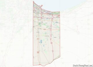
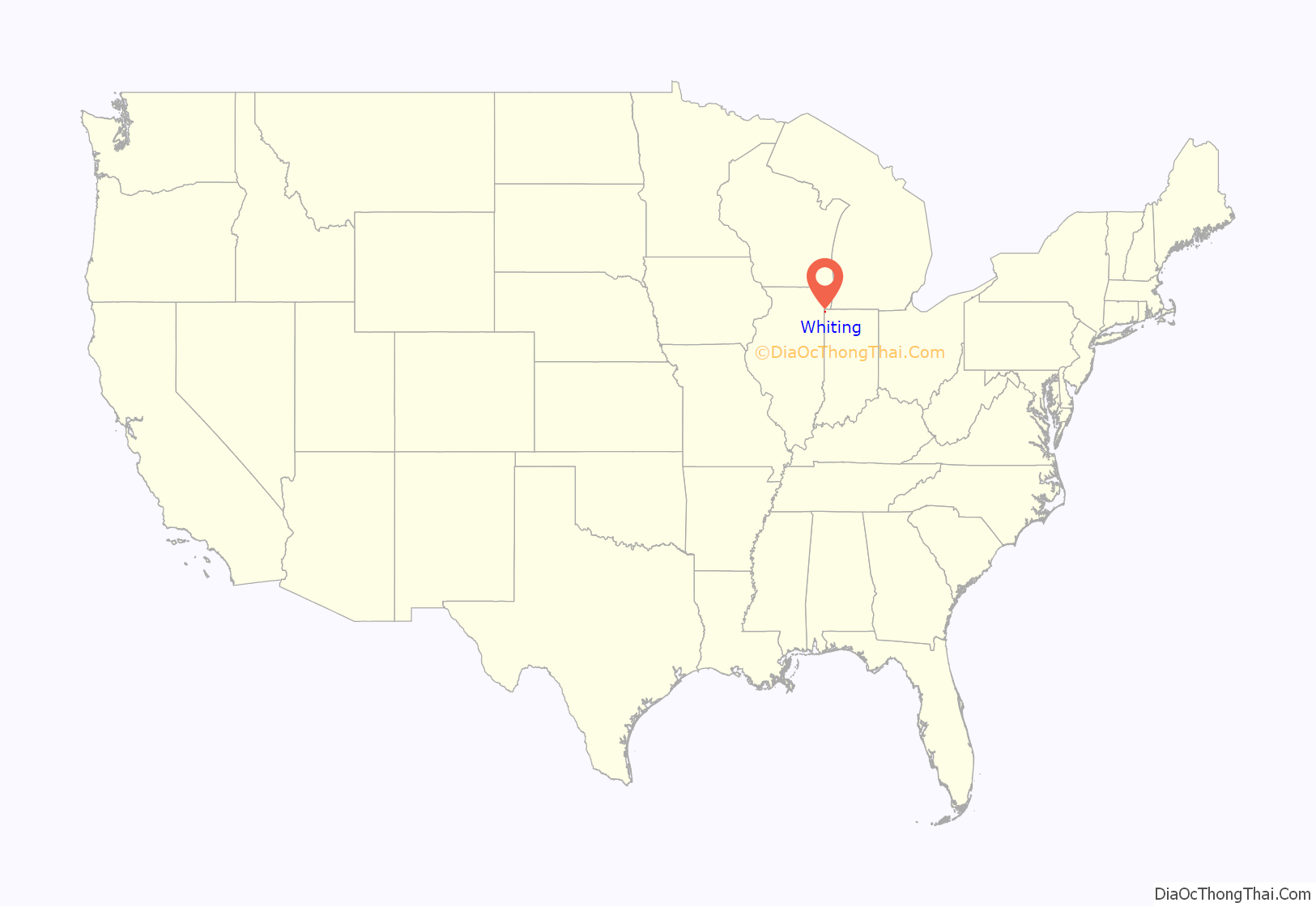
Whiting location map. Where is Whiting city?

History
A post office was first established at Whiting in 1871. Whiting was incorporated as a town in 1895. It was named after a trainman who was killed in a crash there. Whiting was incorporated as a city in 1903.
The Hoosier Theater Building, Henry and Caroline Schrage House, and Whiting Memorial Community House are listed in the National Register of Historic Places.
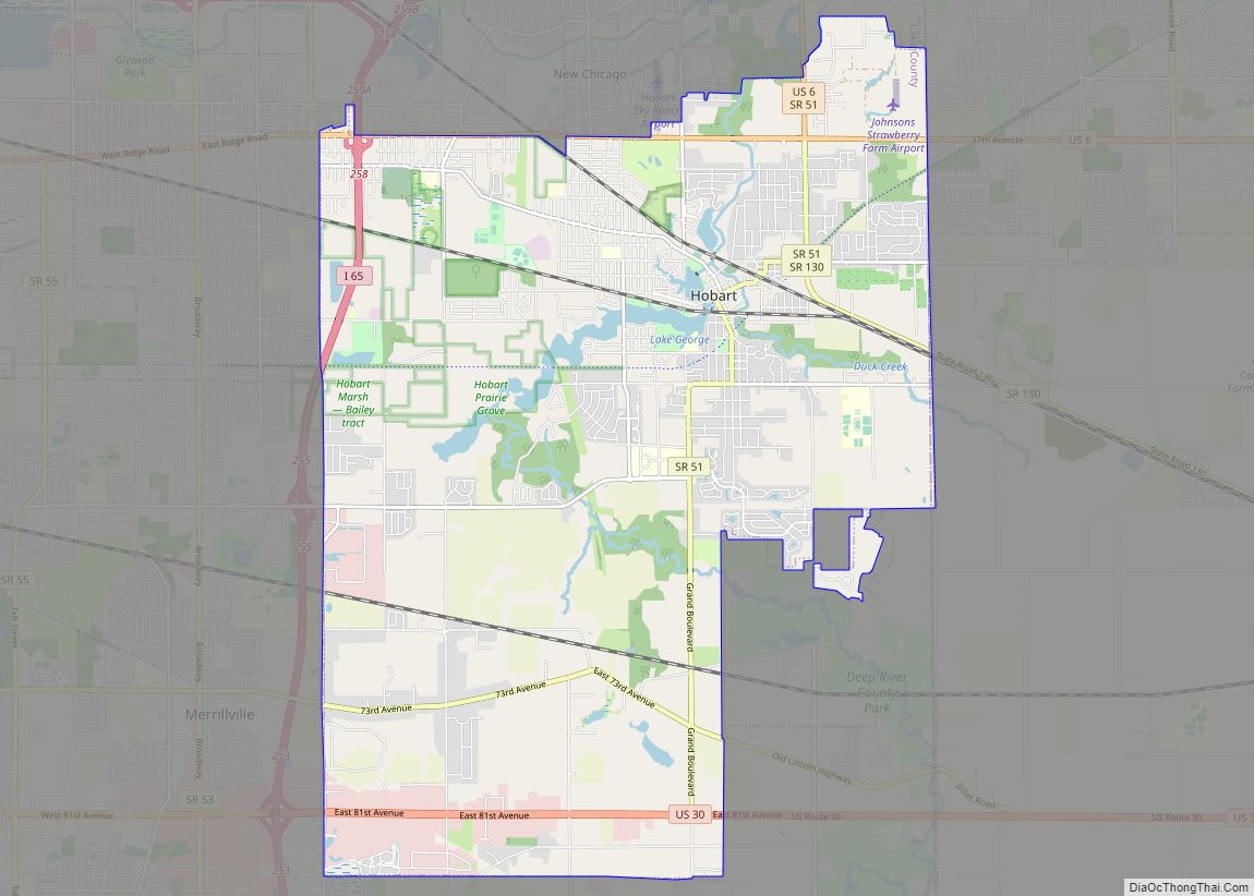
Whiting Road Map
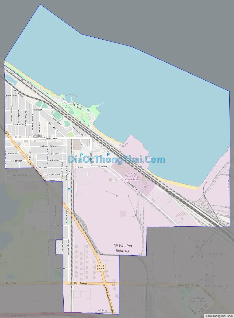
Whiting city Satellite Map

Geography
According to the 2010 census, Whiting has a total area of 3.229 square miles (8.36 km), of which 1.8 square miles (4.66 km) (or 55.74%) is land and 1.429 square miles (3.70 km) (or 44.26%) is water.
The Whiting post office (46394) serves not only the city of Whiting, but also the adjacent Hammond neighborhood of Robertsdale, immediately to the west. Addresses in this Hammond neighborhood show “Whiting, Indiana.” While not legally a part of the city of Whiting, locally the area has long been informally considered to be a culturally integrated part of Whiting. References to Whiting businesses or residents often include those technically from Hammond’s Robertsdale.
See also
Map of Indiana State and its subdivision:- Adams
- Allen
- Bartholomew
- Benton
- Blackford
- Boone
- Brown
- Carroll
- Cass
- Clark
- Clay
- Clinton
- Crawford
- Daviess
- De Kalb
- Dearborn
- Decatur
- Delaware
- Dubois
- Elkhart
- Fayette
- Floyd
- Fountain
- Franklin
- Fulton
- Gibson
- Grant
- Greene
- Hamilton
- Hancock
- Harrison
- Hendricks
- Henry
- Howard
- Huntington
- Jackson
- Jasper
- Jay
- Jefferson
- Jennings
- Johnson
- Knox
- Kosciusko
- LaGrange
- Lake
- Lake Michigan
- LaPorte
- Lawrence
- Madison
- Marion
- Marshall
- Martin
- Miami
- Monroe
- Montgomery
- Morgan
- Newton
- Noble
- Ohio
- Orange
- Owen
- Parke
- Perry
- Pike
- Porter
- Posey
- Pulaski
- Putnam
- Randolph
- Ripley
- Rush
- Saint Joseph
- Scott
- Shelby
- Spencer
- Starke
- Steuben
- Sullivan
- Switzerland
- Tippecanoe
- Tipton
- Union
- Vanderburgh
- Vermillion
- Vigo
- Wabash
- Warren
- Warrick
- Washington
- Wayne
- Wells
- White
- Whitley
- Alabama
- Alaska
- Arizona
- Arkansas
- California
- Colorado
- Connecticut
- Delaware
- District of Columbia
- Florida
- Georgia
- Hawaii
- Idaho
- Illinois
- Indiana
- Iowa
- Kansas
- Kentucky
- Louisiana
- Maine
- Maryland
- Massachusetts
- Michigan
- Minnesota
- Mississippi
- Missouri
- Montana
- Nebraska
- Nevada
- New Hampshire
- New Jersey
- New Mexico
- New York
- North Carolina
- North Dakota
- Ohio
- Oklahoma
- Oregon
- Pennsylvania
- Rhode Island
- South Carolina
- South Dakota
- Tennessee
- Texas
- Utah
- Vermont
- Virginia
- Washington
- West Virginia
- Wisconsin
- Wyoming