Audubon Park is a home rule-class city in central Jefferson County, Kentucky, United States. The population was 1,473 at the 2010 census. It is located about 5 miles (8 km) south of downtown Louisville and is surrounded on all sides by the city of Louisville.
| Name: | Audubon Park city |
|---|---|
| LSAD Code: | 25 |
| LSAD Description: | city (suffix) |
| State: | Kentucky |
| County: | Jefferson County |
| Elevation: | 512 ft (156 m) |
| Total Area: | 0.32 sq mi (0.84 km²) |
| Land Area: | 0.32 sq mi (0.84 km²) |
| Water Area: | 0.00 sq mi (0.00 km²) |
| Total Population: | 1,433 |
| Population Density: | 4,422.84/sq mi (1,708.66/km²) |
| ZIP code: | 40213 |
| FIPS code: | 2102656 |
| GNISfeature ID: | 0486138 |
| Website: | www.audubonparkky.org |
Online Interactive Map
Click on ![]() to view map in "full screen" mode.
to view map in "full screen" mode.
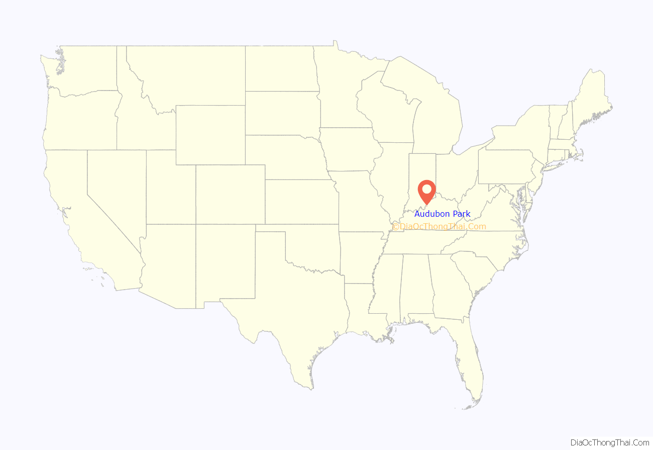
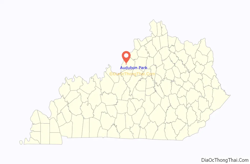
Audubon Park location map. Where is Audubon Park city?
History
Audubon Park was developed residentially in the early 20th century on 230 acres (0.93 km) of hilly pastureland once owned by Gen. William Preston, who in turn had been granted the land in 1774 from the British government as payment for his services during the French and Indian War.
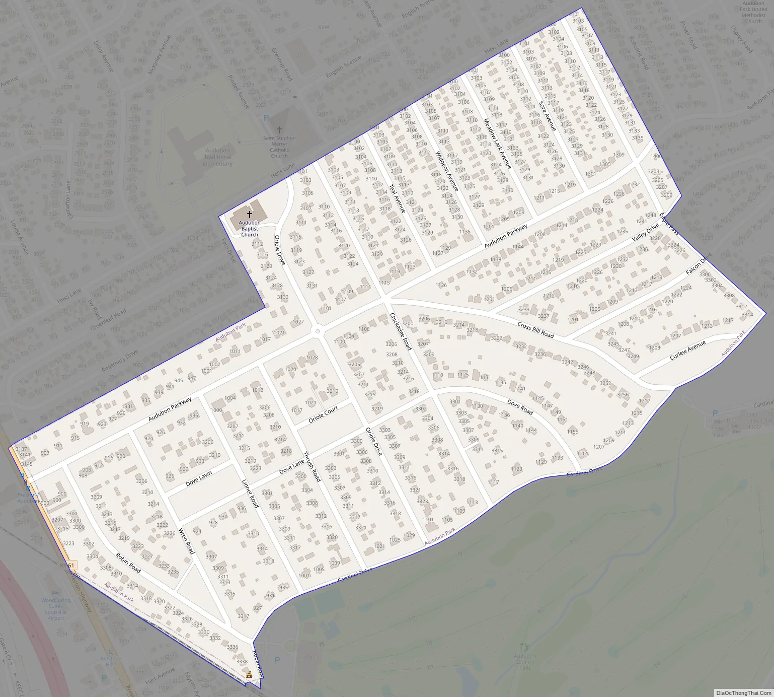
The land was sold to G. Robert Hunt in 1906, and the Audubon Park Country Club was built by avid golfer Russell Houston. The Audubon Park Realty Co. purchased the land in 1912 and named the neighborhood after wildlife painter John James Audubon. All but two of the city’s 20 streets are named after birds.
Development was very slow until Louisville Gas and Electric laid gas mains and installed streetlights in the 1920s, at which point it was estimated that a new house was begun every two weeks. Most houses are traditional in design, with styles including Neo-colonial, Dutch colonial and Neo-federal, though some Craftsman-style California bungalows are present.
An early streetcar spur route ran to a station house near the center of the park (the station house has been converted to a private residence and still stands). The line was discontinued in the 1920s, although the tracks were not entirely removed until 1975. The city was formally incorporated by the state assembly in 1941.
The city is known for its straight, tree-lined streets (facilitated by rear utility lines where possible) and six small neighborhood parks. Its entrances are marked by large stone gateways. Two annual traditions are the spring dogwood festival, and the fall Arts and Crafts festival. The city was listed on the National Register of Historic Places in 1996.
Audubon Park Road Map
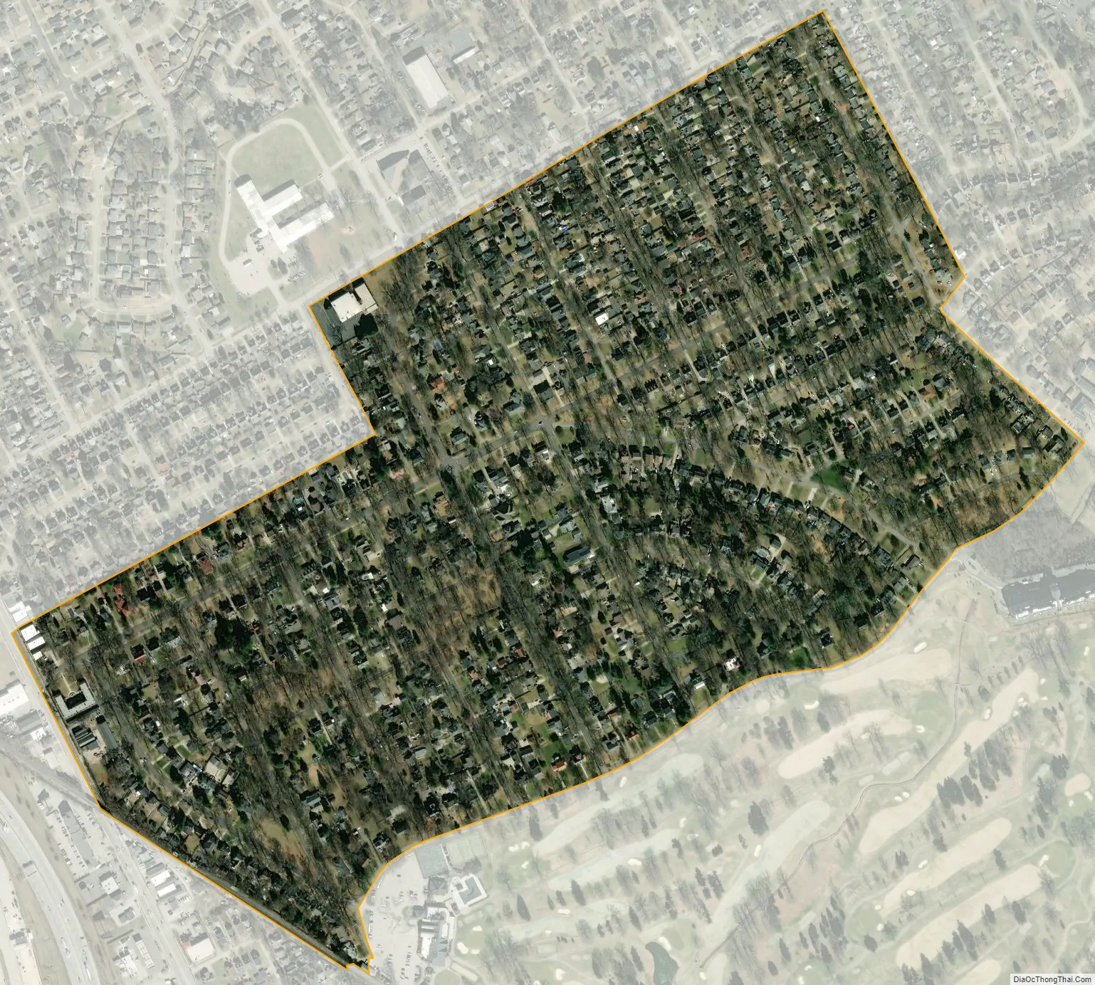
Audubon Park city Satellite Map
Geography
Audubon Park is located at 38°12’18” north, 85°43’39” west (38.204970, -85.727598).
According to the United States Census Bureau, the city has a total area of 0.32 square miles (0.84 km), all land.
See also
Map of Kentucky State and its subdivision:- Adair
- Allen
- Anderson
- Ballard
- Barren
- Bath
- Bell
- Boone
- Bourbon
- Boyd
- Boyle
- Bracken
- Breathitt
- Breckinridge
- Bullitt
- Butler
- Caldwell
- Calloway
- Campbell
- Carlisle
- Carroll
- Carter
- Casey
- Christian
- Clark
- Clay
- Clinton
- Crittenden
- Cumberland
- Daviess
- Edmonson
- Elliott
- Estill
- Fayette
- Fleming
- Floyd
- Franklin
- Fulton
- Gallatin
- Garrard
- Grant
- Graves
- Grayson
- Green
- Greenup
- Hancock
- Hardin
- Harlan
- Harrison
- Hart
- Henderson
- Henry
- Hickman
- Hopkins
- Jackson
- Jefferson
- Jessamine
- Johnson
- Kenton
- Knott
- Knox
- Larue
- Laurel
- Lawrence
- Lee
- Leslie
- Letcher
- Lewis
- Lincoln
- Livingston
- Logan
- Lyon
- Madison
- Magoffin
- Marion
- Marshall
- Martin
- Mason
- McCracken
- McCreary
- McLean
- Meade
- Menifee
- Mercer
- Metcalfe
- Monroe
- Montgomery
- Morgan
- Muhlenberg
- Nelson
- Nicholas
- Ohio
- Oldham
- Owen
- Owsley
- Pendleton
- Perry
- Pike
- Powell
- Pulaski
- Robertson
- Rockcastle
- Rowan
- Russell
- Scott
- Shelby
- Simpson
- Spencer
- Taylor
- Todd
- Trigg
- Trimble
- Union
- Warren
- Washington
- Wayne
- Webster
- Whitley
- Wolfe
- Woodford
- Alabama
- Alaska
- Arizona
- Arkansas
- California
- Colorado
- Connecticut
- Delaware
- District of Columbia
- Florida
- Georgia
- Hawaii
- Idaho
- Illinois
- Indiana
- Iowa
- Kansas
- Kentucky
- Louisiana
- Maine
- Maryland
- Massachusetts
- Michigan
- Minnesota
- Mississippi
- Missouri
- Montana
- Nebraska
- Nevada
- New Hampshire
- New Jersey
- New Mexico
- New York
- North Carolina
- North Dakota
- Ohio
- Oklahoma
- Oregon
- Pennsylvania
- Rhode Island
- South Carolina
- South Dakota
- Tennessee
- Texas
- Utah
- Vermont
- Virginia
- Washington
- West Virginia
- Wisconsin
- Wyoming


