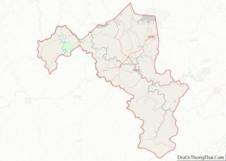
Buckhorn is a home rule-class city in Perry County, Kentucky, in the United States. The population was 162 at the 2010 census. It is centered on the Buckhorn Presbyterian Church, a log structure listed on the National Register of Historic Places. The Buckhorn Children’s Center and Buckhorn Lake State Resort Park are also located here.
The post office was established in 1902. Buckhorn was incorporated by the state legislature in 1996.
| Name: | Buckhorn city |
|---|---|
| LSAD Code: | 25 |
| LSAD Description: | city (suffix) |
| State: | Kentucky |
| County: | Perry County |
| Incorporated: | January 12, 1996 |
| Elevation: | 755 ft (230 m) |
| Total Area: | 0.35 sq mi (0.91 km²) |
| Land Area: | 0.34 sq mi (0.87 km²) |
| Water Area: | 0.01 sq mi (0.04 km²) |
| Total Population: | 89 |
| Population Density: | 264.09/sq mi (101.91/km²) |
| ZIP code: | 41721 |
| Area code: | 606 |
| FIPS code: | 2110612 |
| GNISfeature ID: | 0511025 |
Online Interactive Map
Click on ![]() to view map in "full screen" mode.
to view map in "full screen" mode.
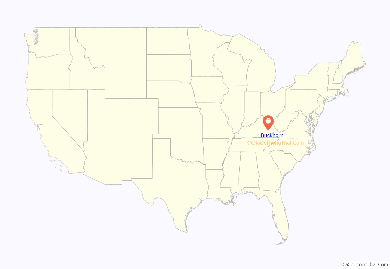
Buckhorn location map. Where is Buckhorn city?
History
According to local tradition, the name “Buckhorn” comes from an early settler, Jerry Smith, who had killed a large deer and had hung its antlers over an area spring. The name of the stream that flows through the area, Squabble Creek, is believed to have been named after a fight between Smith and his brothers.
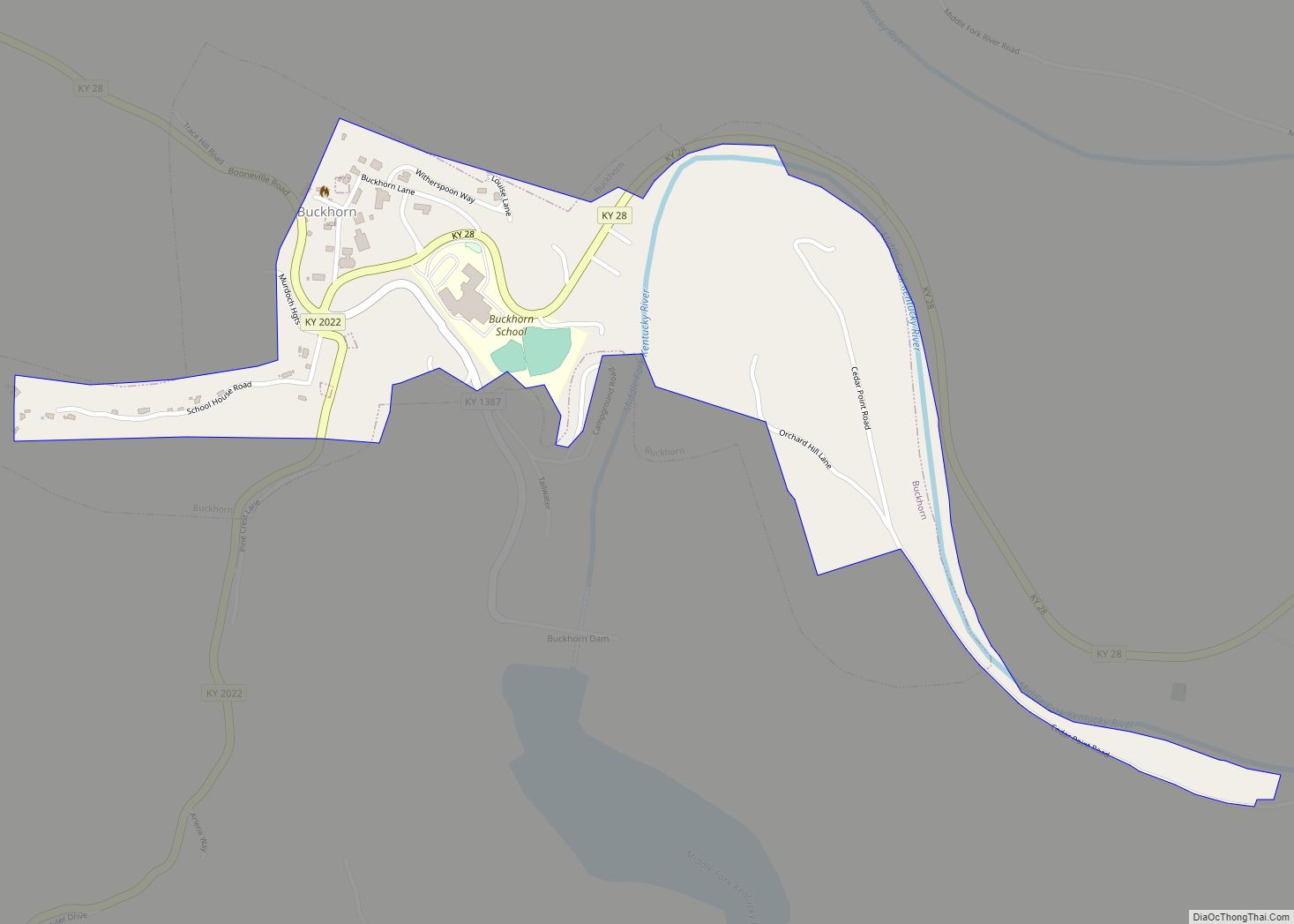
Buckhorn Road Map
Buckhorn city Satellite Map
Geography
Buckhorn is located at 37°20′45″N 83°28′16″W / 37.34583°N 83.47111°W / 37.34583; -83.47111 (37.345879, -83.471060). The city lies in a broad valley along the Middle Fork of the Kentucky River and its tributary, Squabble Creek. Buckhorn Dam and its impoundment, Buckhorn Lake are located a short distance downstream on the river. Kentucky Route 28 passes through the city.
According to the United States Census Bureau, the city has a total area of 0.5 square miles (1.3 km), all land.
See also
Map of Kentucky State and its subdivision:- Adair
- Allen
- Anderson
- Ballard
- Barren
- Bath
- Bell
- Boone
- Bourbon
- Boyd
- Boyle
- Bracken
- Breathitt
- Breckinridge
- Bullitt
- Butler
- Caldwell
- Calloway
- Campbell
- Carlisle
- Carroll
- Carter
- Casey
- Christian
- Clark
- Clay
- Clinton
- Crittenden
- Cumberland
- Daviess
- Edmonson
- Elliott
- Estill
- Fayette
- Fleming
- Floyd
- Franklin
- Fulton
- Gallatin
- Garrard
- Grant
- Graves
- Grayson
- Green
- Greenup
- Hancock
- Hardin
- Harlan
- Harrison
- Hart
- Henderson
- Henry
- Hickman
- Hopkins
- Jackson
- Jefferson
- Jessamine
- Johnson
- Kenton
- Knott
- Knox
- Larue
- Laurel
- Lawrence
- Lee
- Leslie
- Letcher
- Lewis
- Lincoln
- Livingston
- Logan
- Lyon
- Madison
- Magoffin
- Marion
- Marshall
- Martin
- Mason
- McCracken
- McCreary
- McLean
- Meade
- Menifee
- Mercer
- Metcalfe
- Monroe
- Montgomery
- Morgan
- Muhlenberg
- Nelson
- Nicholas
- Ohio
- Oldham
- Owen
- Owsley
- Pendleton
- Perry
- Pike
- Powell
- Pulaski
- Robertson
- Rockcastle
- Rowan
- Russell
- Scott
- Shelby
- Simpson
- Spencer
- Taylor
- Todd
- Trigg
- Trimble
- Union
- Warren
- Washington
- Wayne
- Webster
- Whitley
- Wolfe
- Woodford
- Alabama
- Alaska
- Arizona
- Arkansas
- California
- Colorado
- Connecticut
- Delaware
- District of Columbia
- Florida
- Georgia
- Hawaii
- Idaho
- Illinois
- Indiana
- Iowa
- Kansas
- Kentucky
- Louisiana
- Maine
- Maryland
- Massachusetts
- Michigan
- Minnesota
- Mississippi
- Missouri
- Montana
- Nebraska
- Nevada
- New Hampshire
- New Jersey
- New Mexico
- New York
- North Carolina
- North Dakota
- Ohio
- Oklahoma
- Oregon
- Pennsylvania
- Rhode Island
- South Carolina
- South Dakota
- Tennessee
- Texas
- Utah
- Vermont
- Virginia
- Washington
- West Virginia
- Wisconsin
- Wyoming
