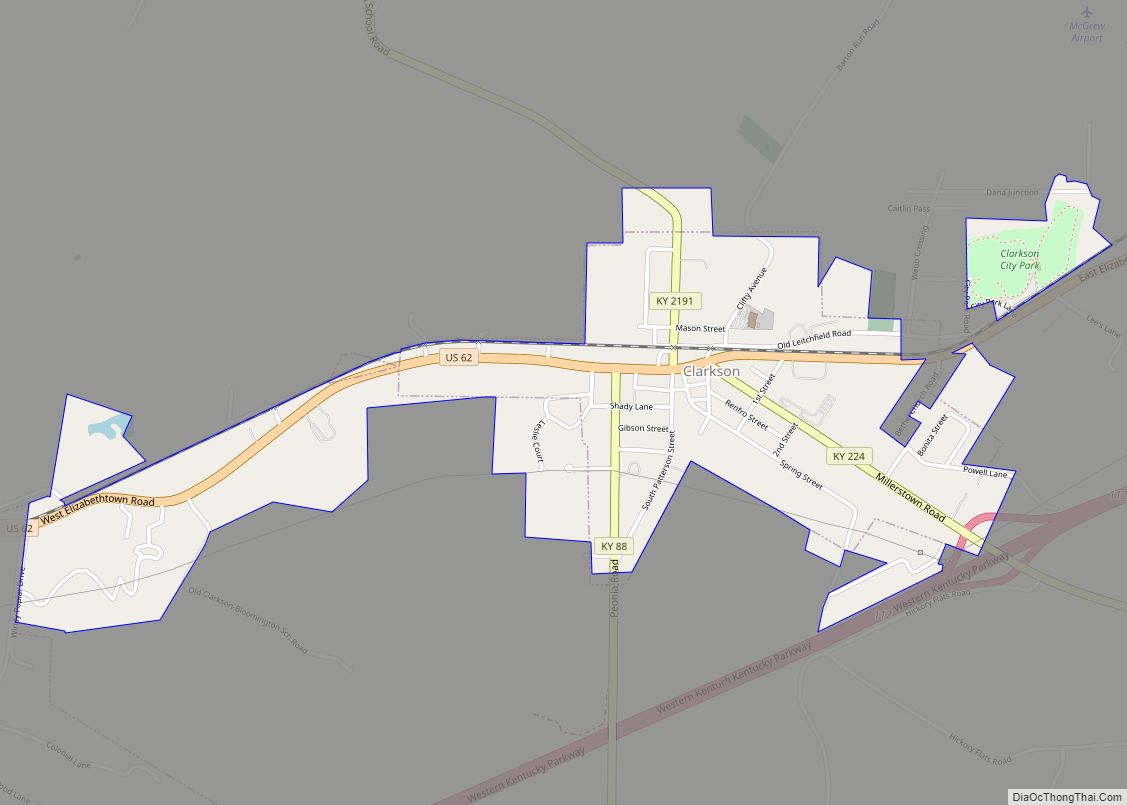
Clarkson is a home rule-class city in Grayson County, Kentucky, United States. The population was 933 at the 2020 census, up from 875 at the 2010 census, Once called “Grayson Springs Depot” after a nearby resort, the name was changed in 1882 to honor the resort’s owner, Manoah Clarkson.
Clarkson is known for its Honeyfest and is home to The Walter T. Kelley Company, a manufacturer of beekeeping equipment.
| Name: | Clarkson city |
|---|---|
| LSAD Code: | 25 |
| LSAD Description: | city (suffix) |
| State: | Kentucky |
| County: | Grayson County |
| Incorporated: | April 23, 1908 |
| Elevation: | 728 ft (222 m) |
| Total Area: | 1.08 sq mi (2.79 km²) |
| Land Area: | 1.06 sq mi (2.75 km²) |
| Water Area: | 0.01 sq mi (0.03 km²) |
| Total Population: | 933 |
| Population Density: | 876.88/sq mi (338.72/km²) |
| ZIP code: | 42726 |
| Area code: | 270 & 364 |
| FIPS code: | 2115148 |
| GNISfeature ID: | 0489558 |
| Website: | clarkson.ky.gov |
Online Interactive Map
Click on ![]() to view map in "full screen" mode.
to view map in "full screen" mode.
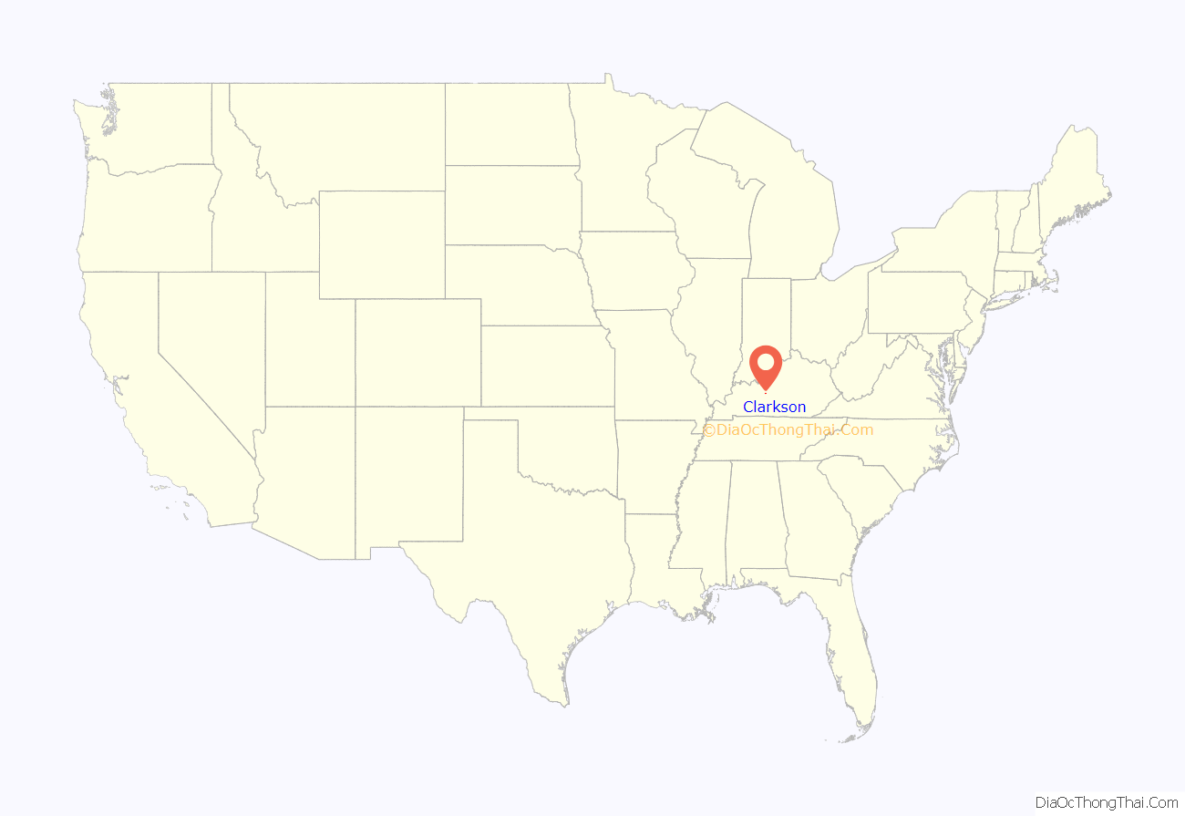
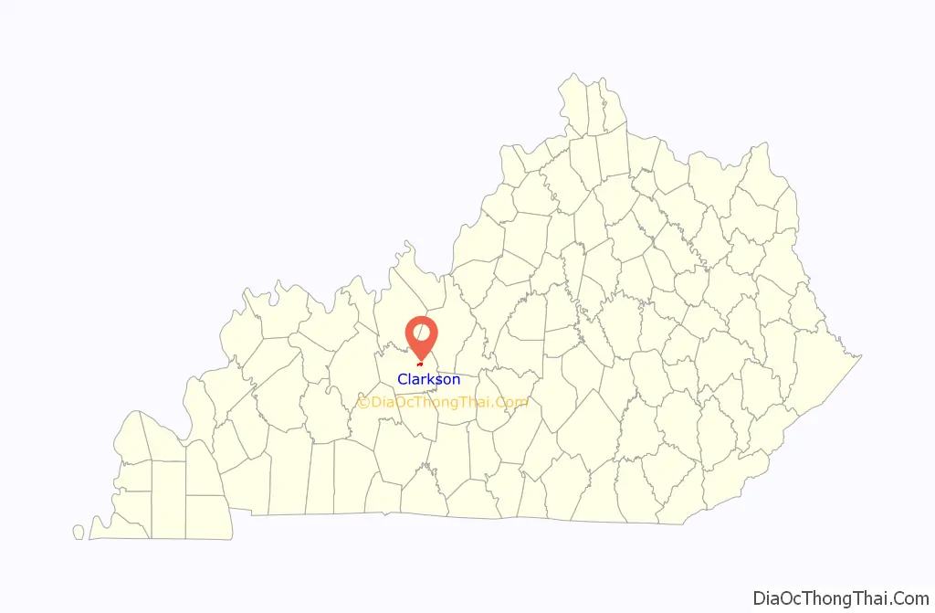
Clarkson location map. Where is Clarkson city?
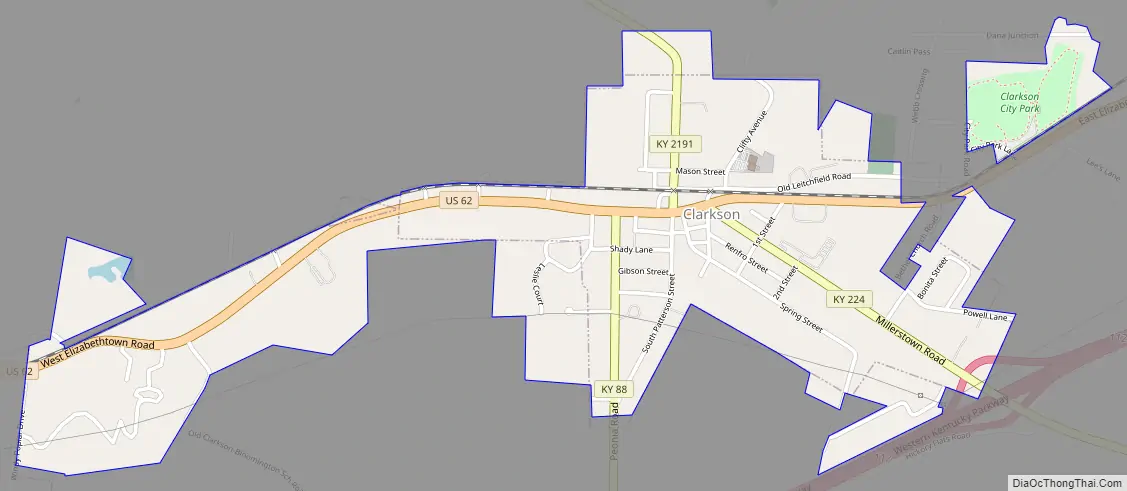
Clarkson Road Map
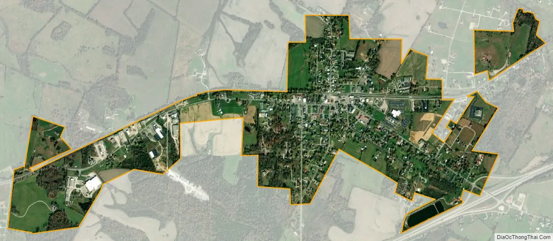
Clarkson city Satellite Map
Geography
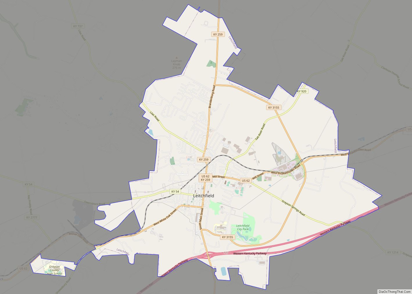
Clarkson is located directly east of Leitchfield along U.S. Route 62 and the Western Kentucky Parkway.
According to the United States Census Bureau, the city has a total area of 1.1 square miles (2.8 km), of which 0.01 square miles (0.03 km), or 1.13%, is water.
See also
Map of Kentucky State and its subdivision:- Adair
- Allen
- Anderson
- Ballard
- Barren
- Bath
- Bell
- Boone
- Bourbon
- Boyd
- Boyle
- Bracken
- Breathitt
- Breckinridge
- Bullitt
- Butler
- Caldwell
- Calloway
- Campbell
- Carlisle
- Carroll
- Carter
- Casey
- Christian
- Clark
- Clay
- Clinton
- Crittenden
- Cumberland
- Daviess
- Edmonson
- Elliott
- Estill
- Fayette
- Fleming
- Floyd
- Franklin
- Fulton
- Gallatin
- Garrard
- Grant
- Graves
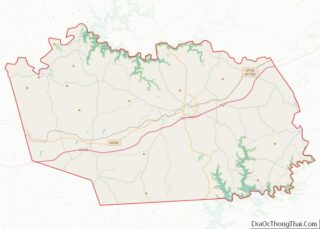
- Grayson
- Green
- Greenup
- Hancock
- Hardin
- Harlan
- Harrison
- Hart
- Henderson
- Henry
- Hickman
- Hopkins
- Jackson
- Jefferson
- Jessamine
- Johnson
- Kenton
- Knott
- Knox
- Larue
- Laurel
- Lawrence
- Lee
- Leslie
- Letcher
- Lewis
- Lincoln
- Livingston
- Logan
- Lyon
- Madison
- Magoffin
- Marion
- Marshall
- Martin
- Mason
- McCracken
- McCreary
- McLean
- Meade
- Menifee
- Mercer
- Metcalfe
- Monroe
- Montgomery
- Morgan
- Muhlenberg
- Nelson
- Nicholas
- Ohio
- Oldham
- Owen
- Owsley
- Pendleton
- Perry
- Pike
- Powell
- Pulaski
- Robertson
- Rockcastle
- Rowan
- Russell
- Scott
- Shelby
- Simpson
- Spencer
- Taylor
- Todd
- Trigg
- Trimble
- Union
- Warren
- Washington
- Wayne
- Webster
- Whitley
- Wolfe
- Woodford
- Alabama
- Alaska
- Arizona
- Arkansas
- California
- Colorado
- Connecticut
- Delaware
- District of Columbia
- Florida
- Georgia
- Hawaii
- Idaho
- Illinois
- Indiana
- Iowa
- Kansas
- Kentucky
- Louisiana
- Maine
- Maryland
- Massachusetts
- Michigan
- Minnesota
- Mississippi
- Missouri
- Montana
- Nebraska
- Nevada
- New Hampshire
- New Jersey
- New Mexico
- New York
- North Carolina
- North Dakota
- Ohio
- Oklahoma
- Oregon
- Pennsylvania
- Rhode Island
- South Carolina
- South Dakota
- Tennessee
- Texas
- Utah
- Vermont
- Virginia
- Washington
- West Virginia
- Wisconsin
- Wyoming