Doe Valley is an unincorporated community and census-designated place (CDP) in Meade County, Kentucky, United States. Its population was 2,270 as of the 2020 census.
Doe Valley was originally conceived as a planned residential community in 1965.
| Name: | Doe Valley CDP |
|---|---|
| LSAD Code: | 57 |
| LSAD Description: | CDP (suffix) |
| State: | Kentucky |
| County: | Meade County |
| Elevation: | 607 ft (185 m) |
| Total Area: | 4.63 sq mi (12.00 km²) |
| Land Area: | 4.06 sq mi (10.51 km²) |
| Water Area: | 0.57 sq mi (1.48 km²) |
| Total Population: | 2,270 |
| Population Density: | 559.11/sq mi (215.89/km²) |
| ZIP code: | 40108 (Brandenburg) |
| Area code: | 270 |
| FIPS code: | 2121844 |
| GNISfeature ID: | 2631652 |
| Website: | doevalley.org |
Online Interactive Map
Click on ![]() to view map in "full screen" mode.
to view map in "full screen" mode.
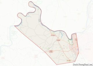
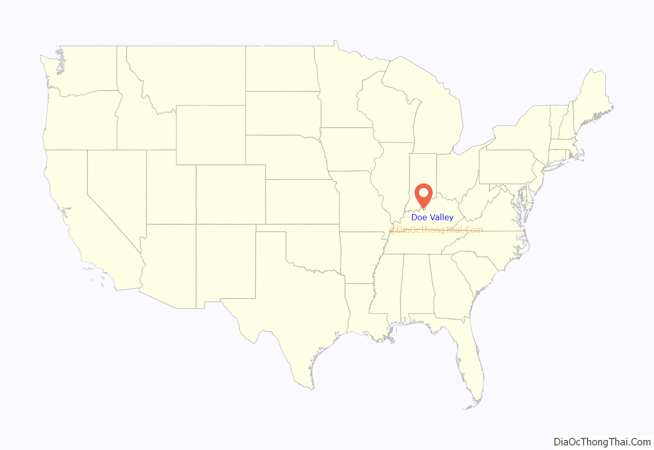
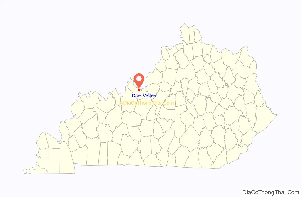
Doe Valley location map. Where is Doe Valley CDP?
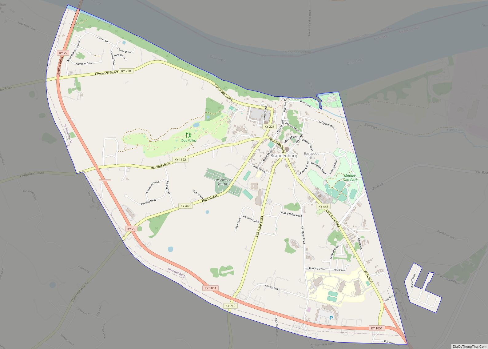
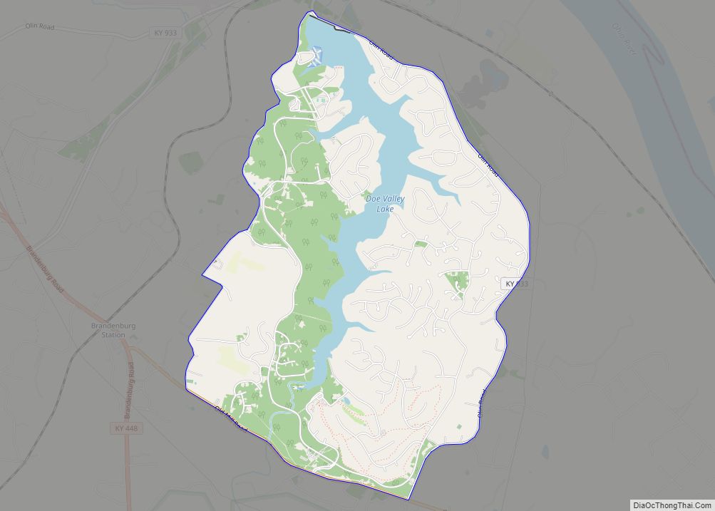
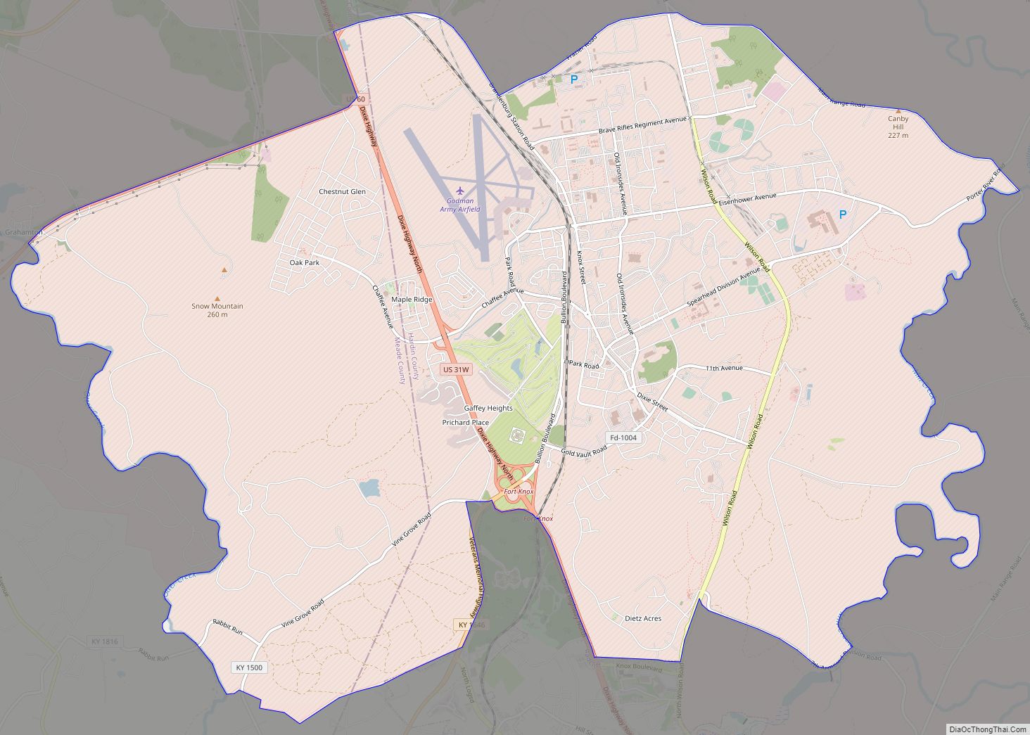
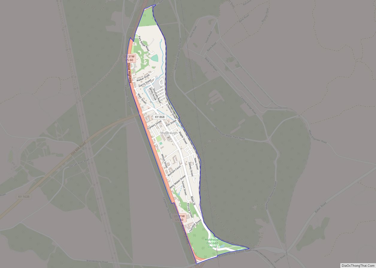
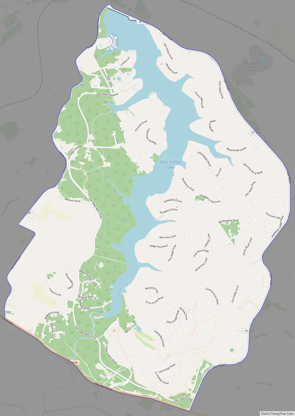
Doe Valley Road Map
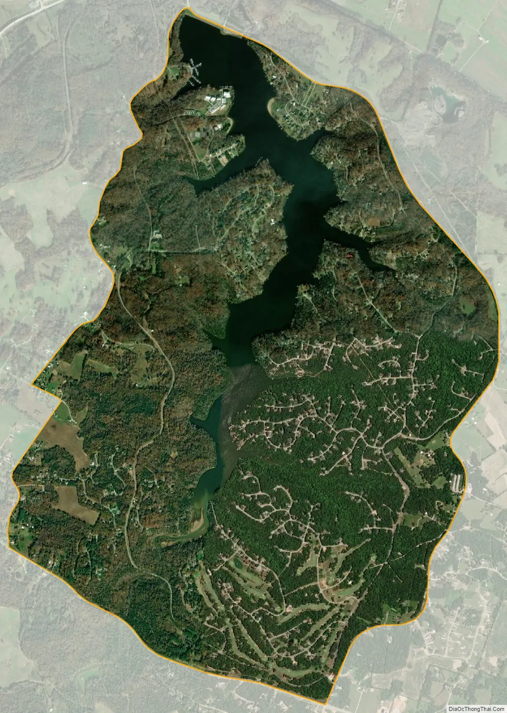
Doe Valley city Satellite Map
Geography
Doe Valley is in eastern Meade County, 1 mile (1.6 km) south of the Ohio River and 4 miles (6 km) southeast of Brandenburg, the county seat. The community is built around Doe Valley Lake, a reservoir built on Doe Run, a tributary of the Ohio River.
According to the U.S. Census Bureau, the Doe Valley CDP has an area of 4.63 square miles (12.0 km); 4.06 square miles (10.5 km) are land, and 0.57 square miles (1.5 km), or 12.35%, are water.
See also
Map of Kentucky State and its subdivision:- Adair
- Allen
- Anderson
- Ballard
- Barren
- Bath
- Bell
- Boone
- Bourbon
- Boyd
- Boyle
- Bracken
- Breathitt
- Breckinridge
- Bullitt
- Butler
- Caldwell
- Calloway
- Campbell
- Carlisle
- Carroll
- Carter
- Casey
- Christian
- Clark
- Clay
- Clinton
- Crittenden
- Cumberland
- Daviess
- Edmonson
- Elliott
- Estill
- Fayette
- Fleming
- Floyd
- Franklin
- Fulton
- Gallatin
- Garrard
- Grant
- Graves
- Grayson
- Green
- Greenup
- Hancock
- Hardin
- Harlan
- Harrison
- Hart
- Henderson
- Henry
- Hickman
- Hopkins
- Jackson
- Jefferson
- Jessamine
- Johnson
- Kenton
- Knott
- Knox
- Larue
- Laurel
- Lawrence
- Lee
- Leslie
- Letcher
- Lewis
- Lincoln
- Livingston
- Logan
- Lyon
- Madison
- Magoffin
- Marion
- Marshall
- Martin
- Mason
- McCracken
- McCreary
- McLean
- Meade
- Menifee
- Mercer
- Metcalfe
- Monroe
- Montgomery
- Morgan
- Muhlenberg
- Nelson
- Nicholas
- Ohio
- Oldham
- Owen
- Owsley
- Pendleton
- Perry
- Pike
- Powell
- Pulaski
- Robertson
- Rockcastle
- Rowan
- Russell
- Scott
- Shelby
- Simpson
- Spencer
- Taylor
- Todd
- Trigg
- Trimble
- Union
- Warren
- Washington
- Wayne
- Webster
- Whitley
- Wolfe
- Woodford
- Alabama
- Alaska
- Arizona
- Arkansas
- California
- Colorado
- Connecticut
- Delaware
- District of Columbia
- Florida
- Georgia
- Hawaii
- Idaho
- Illinois
- Indiana
- Iowa
- Kansas
- Kentucky
- Louisiana
- Maine
- Maryland
- Massachusetts
- Michigan
- Minnesota
- Mississippi
- Missouri
- Montana
- Nebraska
- Nevada
- New Hampshire
- New Jersey
- New Mexico
- New York
- North Carolina
- North Dakota
- Ohio
- Oklahoma
- Oregon
- Pennsylvania
- Rhode Island
- South Carolina
- South Dakota
- Tennessee
- Texas
- Utah
- Vermont
- Virginia
- Washington
- West Virginia
- Wisconsin
- Wyoming