Drakesboro is a home rule-class city in Muhlenberg County, Kentucky, United States. The population was 515 at the 2010 census. Incorporated in 1888, the city was named for early pioneer William Drake.
| Name: | Drakesboro city |
|---|---|
| LSAD Code: | 25 |
| LSAD Description: | city (suffix) |
| State: | Kentucky |
| County: | Muhlenberg County |
| Elevation: | 443 ft (135 m) |
| Total Area: | 0.56 sq mi (1.45 km²) |
| Land Area: | 0.55 sq mi (1.43 km²) |
| Water Area: | 0.01 sq mi (0.02 km²) |
| Total Population: | 481 |
| Population Density: | 871.38/sq mi (336.45/km²) |
| ZIP code: | 42337 |
| Area code: | 270 |
| FIPS code: | 2122348 |
| GNISfeature ID: | 0491099 |
Online Interactive Map
Click on ![]() to view map in "full screen" mode.
to view map in "full screen" mode.
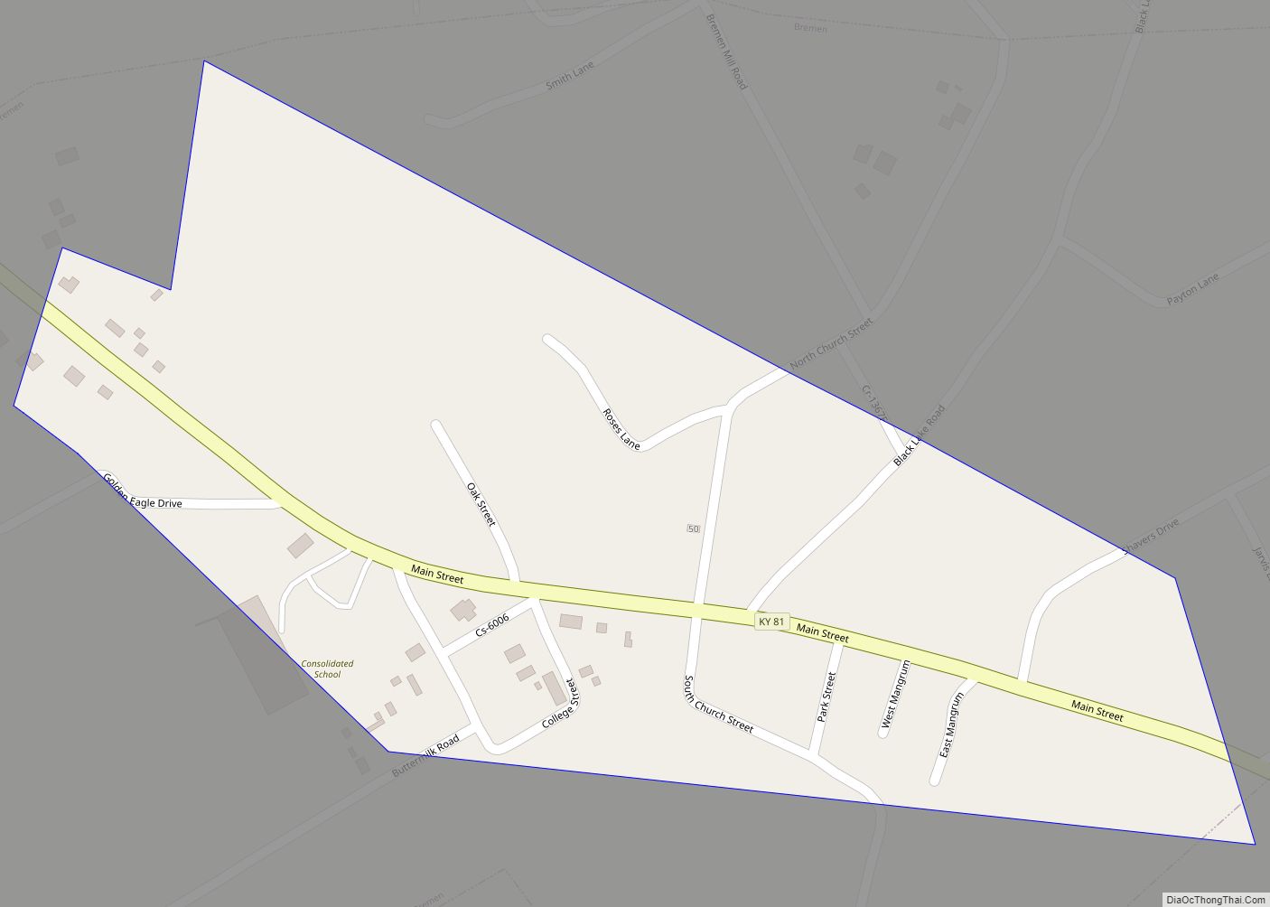
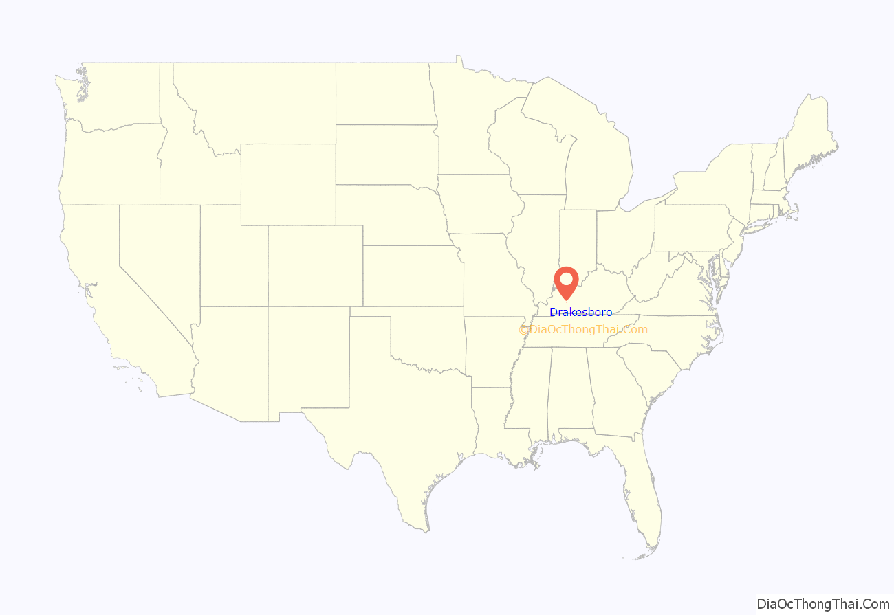
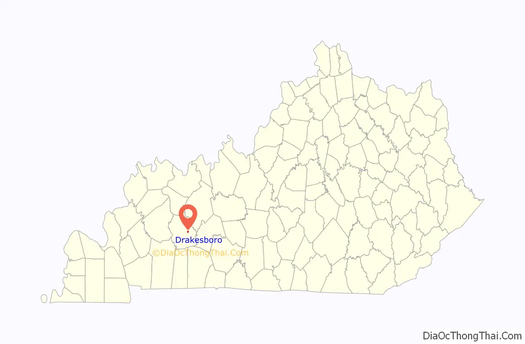
Drakesboro location map. Where is Drakesboro city?
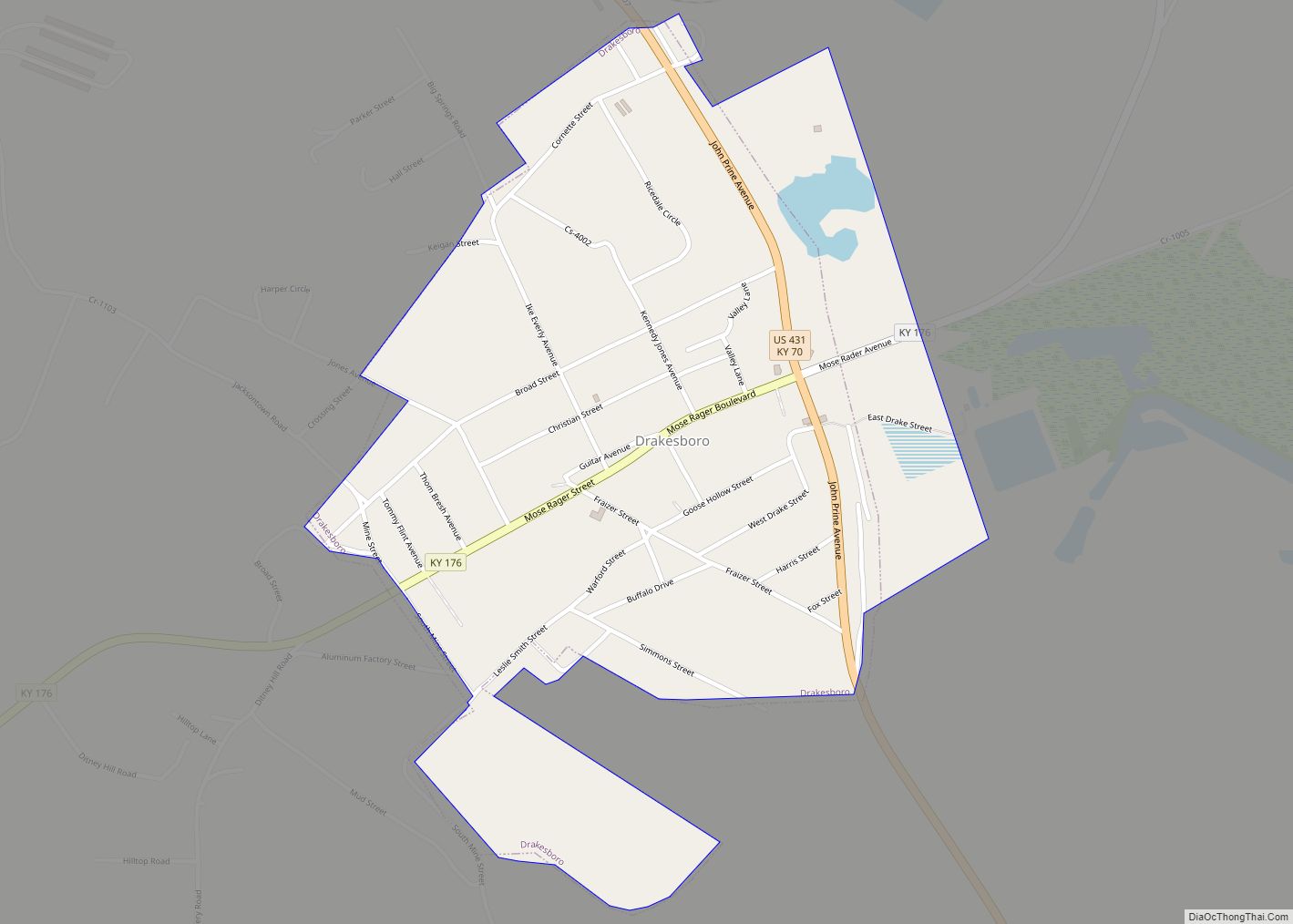
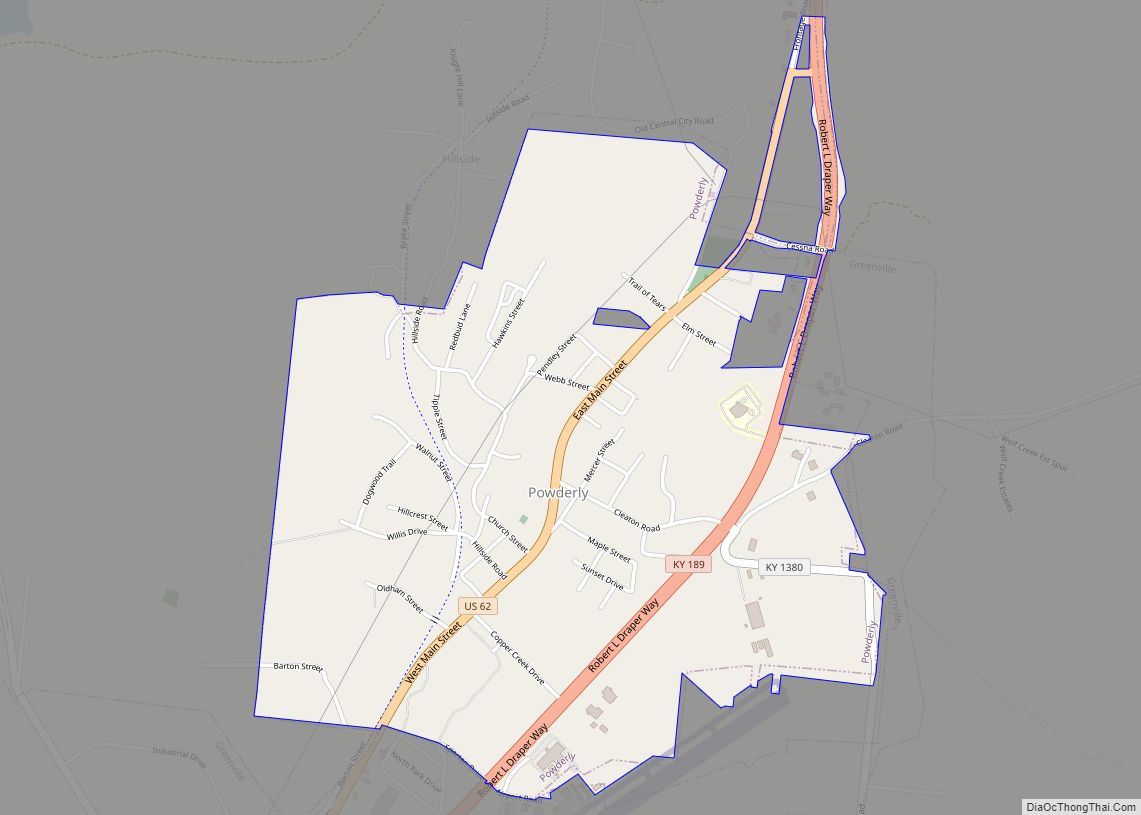
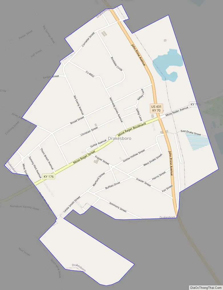
Drakesboro Road Map
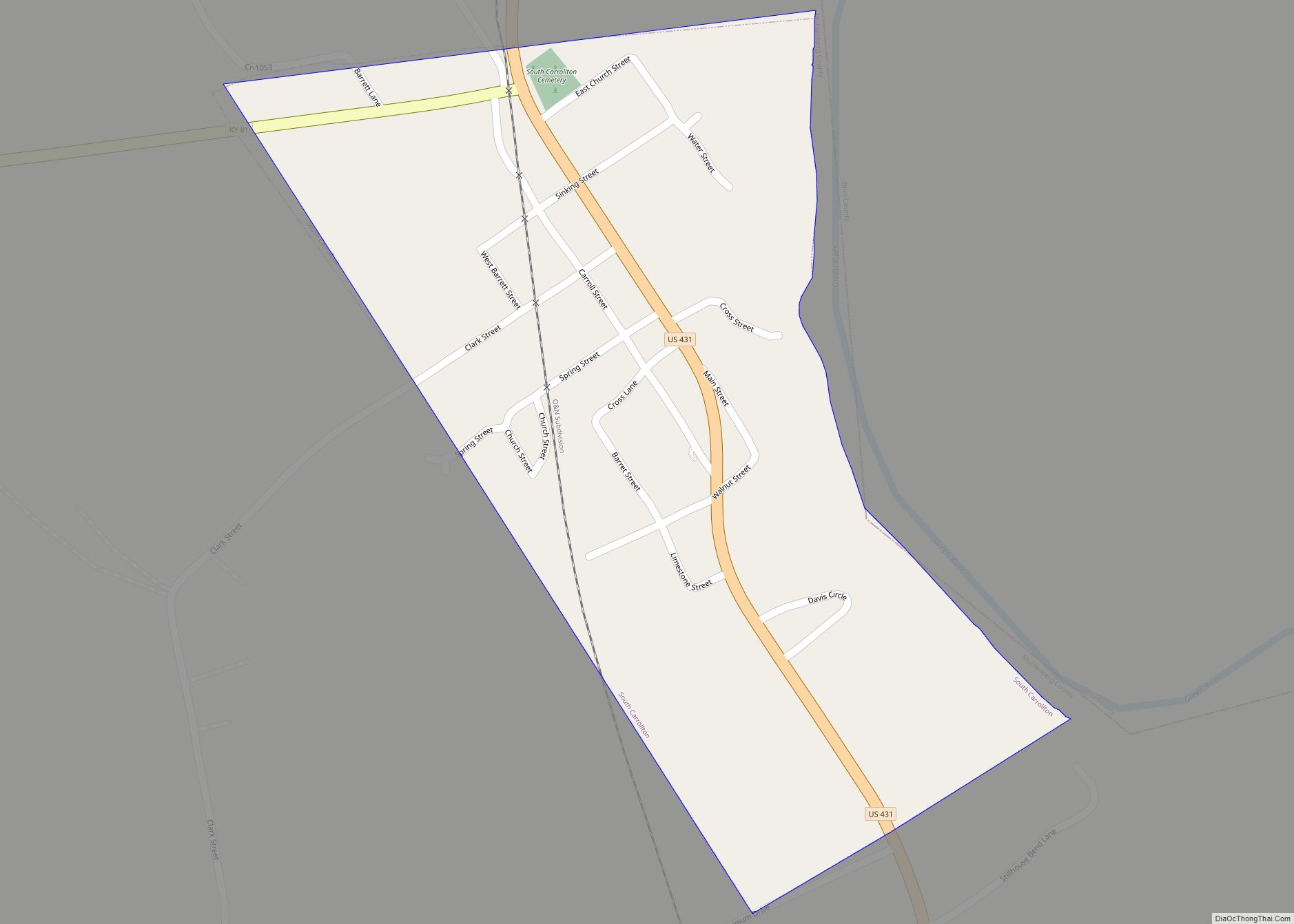
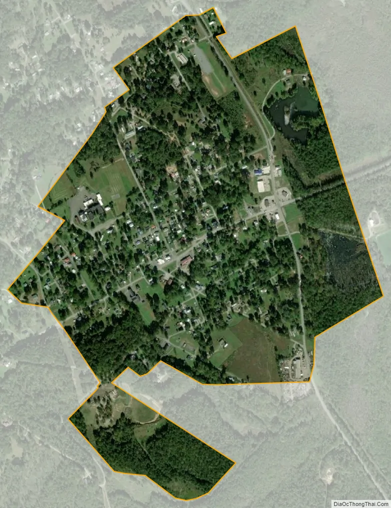
Drakesboro city Satellite Map
Geography
Drakesboro is located at 37°13′2″N 87°3′1″W / 37.21722°N 87.05028°W / 37.21722; -87.05028 (37.217274, -87.050169). The city is situated along Kentucky Route 176 (Mose Rager Boulevard) east of Greenville. Its municipal boundaries extend eastward to KY 176’s intersection with U.S. Route 431.
According to the United States Census Bureau, the city has a total area of 0.5 square miles (1.3 km), all land.
See also
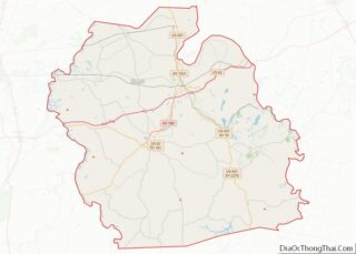
Map of Kentucky State and its subdivision:- Adair
- Allen
- Anderson
- Ballard
- Barren
- Bath
- Bell
- Boone
- Bourbon
- Boyd
- Boyle
- Bracken
- Breathitt
- Breckinridge
- Bullitt
- Butler
- Caldwell
- Calloway
- Campbell
- Carlisle
- Carroll
- Carter
- Casey
- Christian
- Clark
- Clay
- Clinton
- Crittenden
- Cumberland
- Daviess
- Edmonson
- Elliott
- Estill
- Fayette
- Fleming
- Floyd
- Franklin
- Fulton
- Gallatin
- Garrard
- Grant
- Graves
- Grayson
- Green
- Greenup
- Hancock
- Hardin
- Harlan
- Harrison
- Hart
- Henderson
- Henry
- Hickman
- Hopkins
- Jackson
- Jefferson
- Jessamine
- Johnson
- Kenton
- Knott
- Knox
- Larue
- Laurel
- Lawrence
- Lee
- Leslie
- Letcher
- Lewis
- Lincoln
- Livingston
- Logan
- Lyon
- Madison
- Magoffin
- Marion
- Marshall
- Martin
- Mason
- McCracken
- McCreary
- McLean
- Meade
- Menifee
- Mercer
- Metcalfe
- Monroe
- Montgomery
- Morgan
- Muhlenberg
- Nelson
- Nicholas
- Ohio
- Oldham
- Owen
- Owsley
- Pendleton
- Perry
- Pike
- Powell
- Pulaski
- Robertson
- Rockcastle
- Rowan
- Russell
- Scott
- Shelby
- Simpson
- Spencer
- Taylor
- Todd
- Trigg
- Trimble
- Union
- Warren
- Washington
- Wayne
- Webster
- Whitley
- Wolfe
- Woodford
- Alabama
- Alaska
- Arizona
- Arkansas
- California
- Colorado
- Connecticut
- Delaware
- District of Columbia
- Florida
- Georgia
- Hawaii
- Idaho
- Illinois
- Indiana
- Iowa
- Kansas
- Kentucky
- Louisiana
- Maine
- Maryland
- Massachusetts
- Michigan
- Minnesota
- Mississippi
- Missouri
- Montana
- Nebraska
- Nevada
- New Hampshire
- New Jersey
- New Mexico
- New York
- North Carolina
- North Dakota
- Ohio
- Oklahoma
- Oregon
- Pennsylvania
- Rhode Island
- South Carolina
- South Dakota
- Tennessee
- Texas
- Utah
- Vermont
- Virginia
- Washington
- West Virginia
- Wisconsin
- Wyoming