Ekron is a home rule-class city in Meade County, Kentucky, United States. The population was 175 at the 2020 census.
| Name: | Ekron city |
|---|---|
| LSAD Code: | 25 |
| LSAD Description: | city (suffix) |
| State: | Kentucky |
| County: | Meade County |
| Elevation: | 656 ft (200 m) |
| Total Area: | 0.16 sq mi (0.42 km²) |
| Land Area: | 0.16 sq mi (0.42 km²) |
| Water Area: | 0.00 sq mi (0.00 km²) |
| Total Population: | 175 |
| Population Density: | 1,080.25/sq mi (415.90/km²) |
| ZIP code: | 40117 |
| Area code: | 270 & 364 |
| FIPS code: | 2124094 |
| GNISfeature ID: | 0491600 |
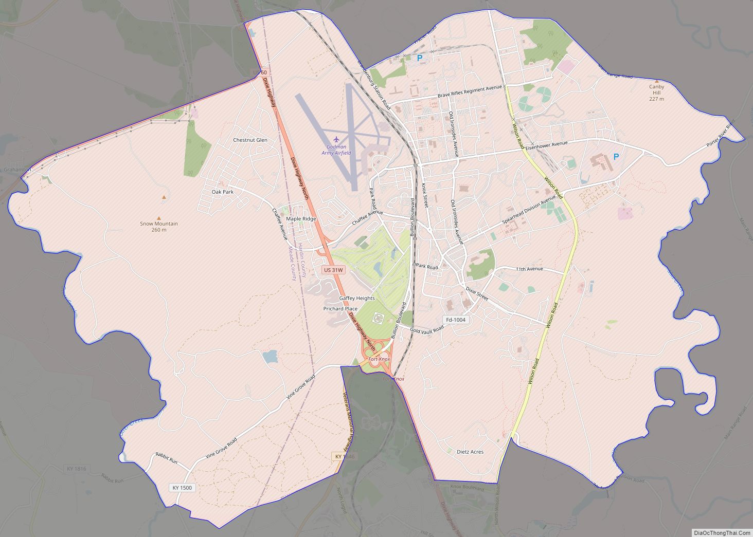
Online Interactive Map
Click on ![]() to view map in "full screen" mode.
to view map in "full screen" mode.
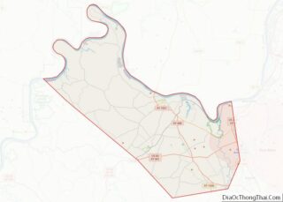
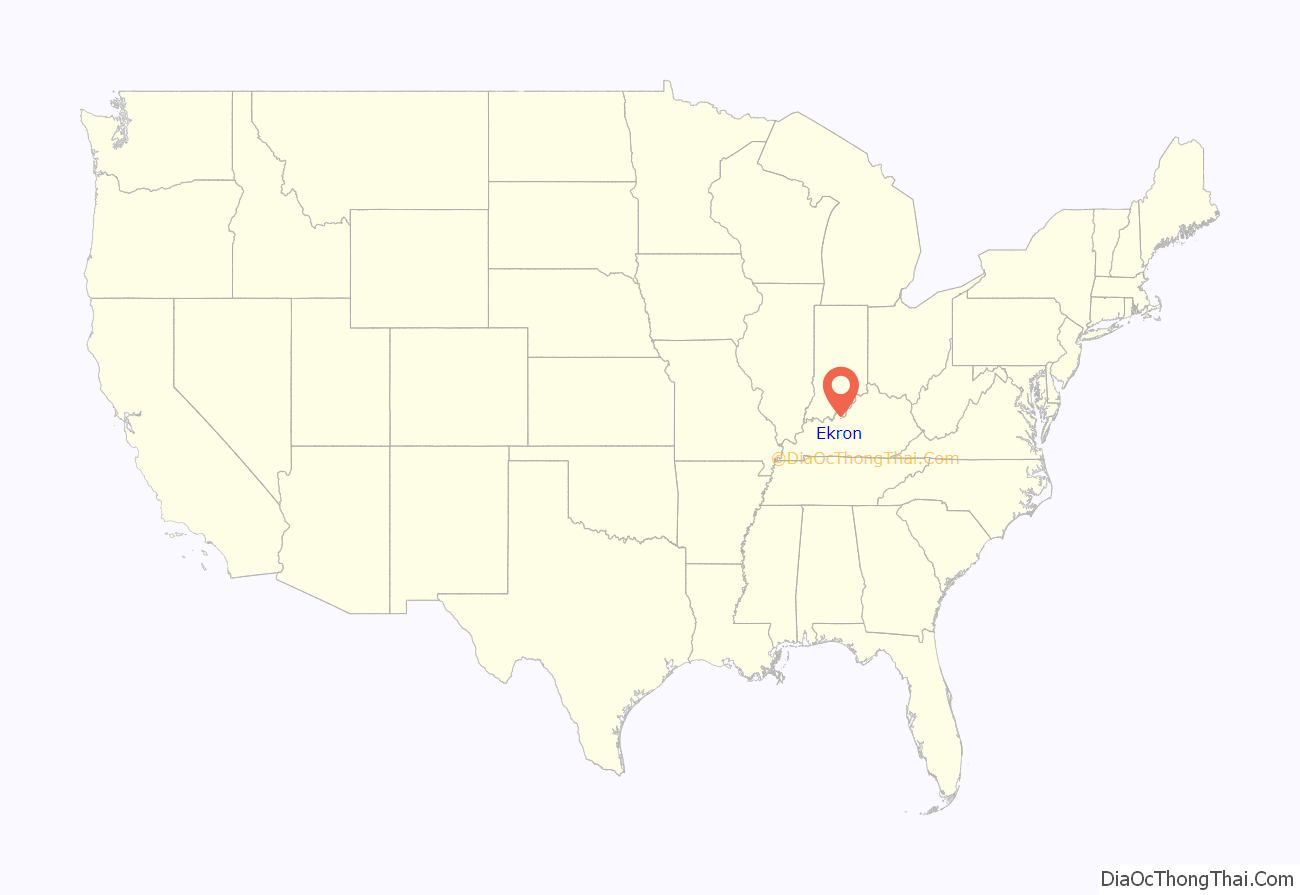
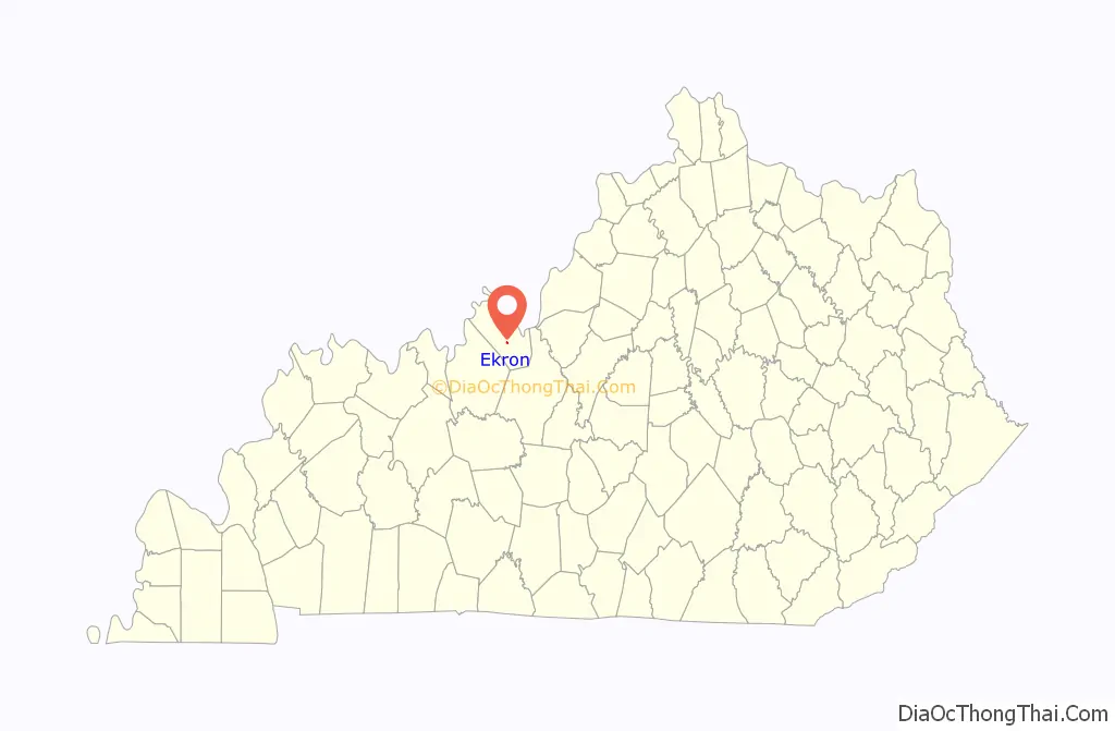
Ekron location map. Where is Ekron city?
History
Ekron was laid out on land donated by a Dr. Roberts, whose wife named the town after the biblical city of Ekron. It was formally incorporated by act of the state assembly in 1906.
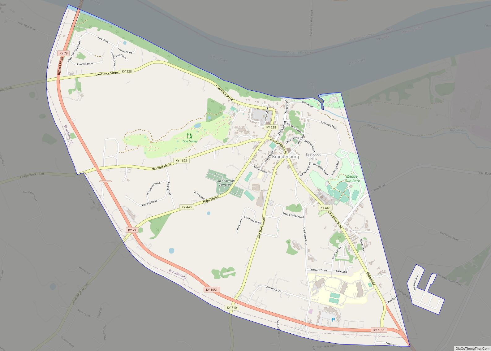
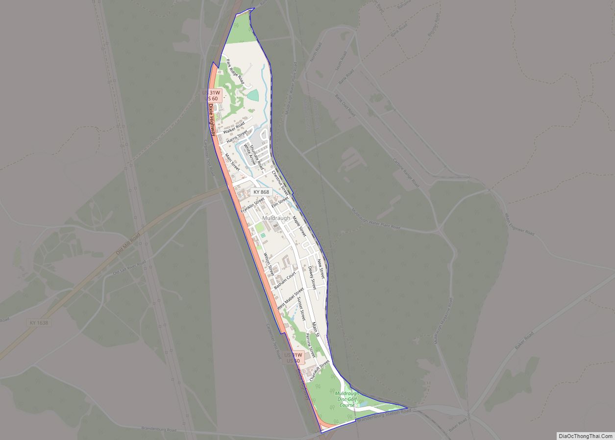
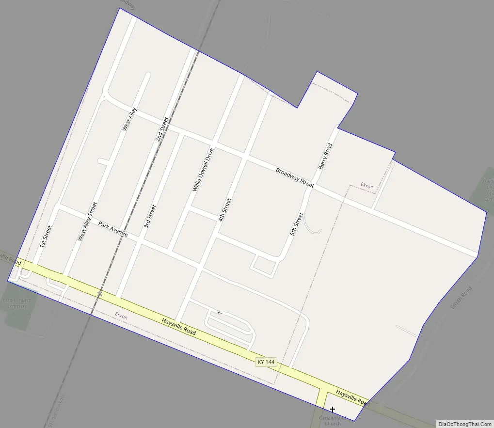
Ekron Road Map
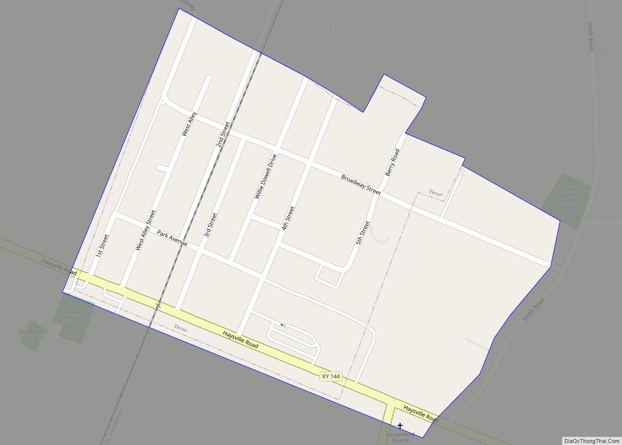
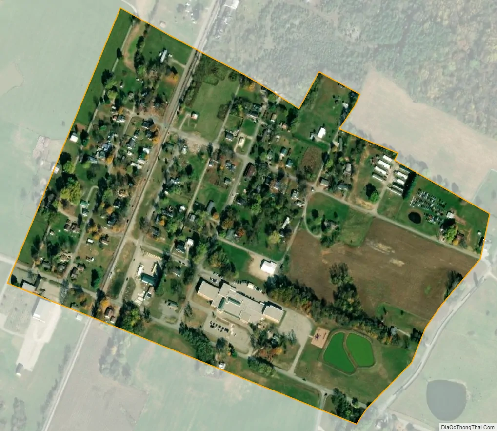
Ekron city Satellite Map
Geography
Ekron is located in central Meade County at 37°55′51″N 86°10′41″W / 37.93083°N 86.17806°W / 37.93083; -86.17806 (37.930819, -86.177999). It is 5 miles (8 km) south of Brandenburg, the county seat, and 16 miles (26 km) west of Fort Knox.
According to the United States Census Bureau, Ekron has a total area of 0.16 square miles (0.41 km), all land.
See also
Map of Kentucky State and its subdivision:- Adair
- Allen
- Anderson
- Ballard
- Barren
- Bath
- Bell
- Boone
- Bourbon
- Boyd
- Boyle
- Bracken
- Breathitt
- Breckinridge
- Bullitt
- Butler
- Caldwell
- Calloway
- Campbell
- Carlisle
- Carroll
- Carter
- Casey
- Christian
- Clark
- Clay
- Clinton
- Crittenden
- Cumberland
- Daviess
- Edmonson
- Elliott
- Estill
- Fayette
- Fleming
- Floyd
- Franklin
- Fulton
- Gallatin
- Garrard
- Grant
- Graves
- Grayson
- Green
- Greenup
- Hancock
- Hardin
- Harlan
- Harrison
- Hart
- Henderson
- Henry
- Hickman
- Hopkins
- Jackson
- Jefferson
- Jessamine
- Johnson
- Kenton
- Knott
- Knox
- Larue
- Laurel
- Lawrence
- Lee
- Leslie
- Letcher
- Lewis
- Lincoln
- Livingston
- Logan
- Lyon
- Madison
- Magoffin
- Marion
- Marshall
- Martin
- Mason
- McCracken
- McCreary
- McLean
- Meade
- Menifee
- Mercer
- Metcalfe
- Monroe
- Montgomery
- Morgan
- Muhlenberg
- Nelson
- Nicholas
- Ohio
- Oldham
- Owen
- Owsley
- Pendleton
- Perry
- Pike
- Powell
- Pulaski
- Robertson
- Rockcastle
- Rowan
- Russell
- Scott
- Shelby
- Simpson
- Spencer
- Taylor
- Todd
- Trigg
- Trimble
- Union
- Warren
- Washington
- Wayne
- Webster
- Whitley
- Wolfe
- Woodford
- Alabama
- Alaska
- Arizona
- Arkansas
- California
- Colorado
- Connecticut
- Delaware
- District of Columbia
- Florida
- Georgia
- Hawaii
- Idaho
- Illinois
- Indiana
- Iowa
- Kansas
- Kentucky
- Louisiana
- Maine
- Maryland
- Massachusetts
- Michigan
- Minnesota
- Mississippi
- Missouri
- Montana
- Nebraska
- Nevada
- New Hampshire
- New Jersey
- New Mexico
- New York
- North Carolina
- North Dakota
- Ohio
- Oklahoma
- Oregon
- Pennsylvania
- Rhode Island
- South Carolina
- South Dakota
- Tennessee
- Texas
- Utah
- Vermont
- Virginia
- Washington
- West Virginia
- Wisconsin
- Wyoming