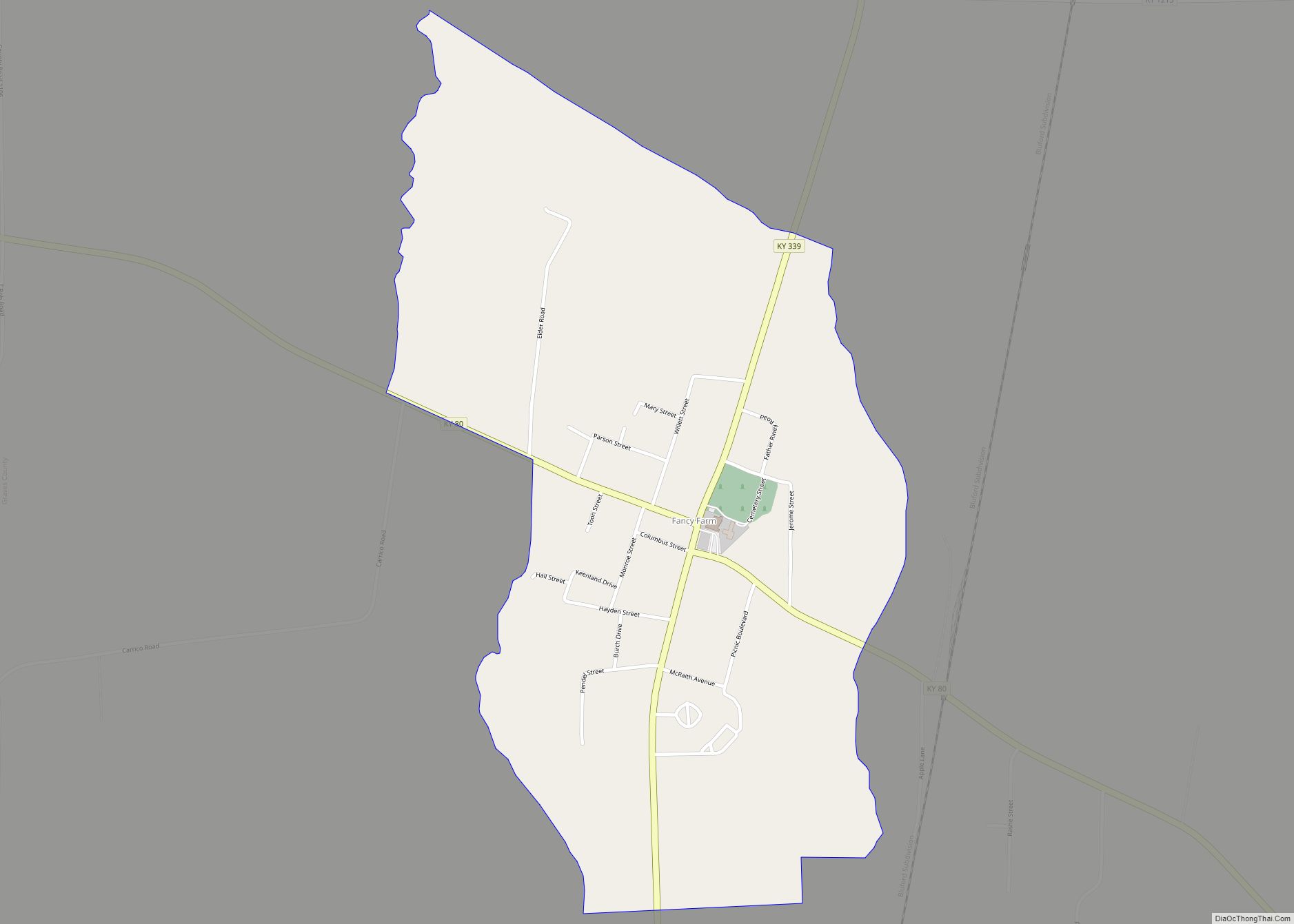
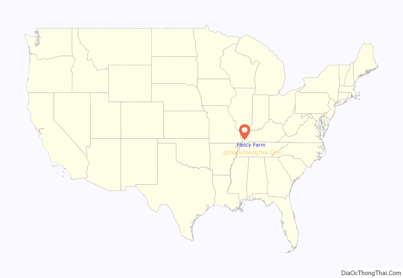
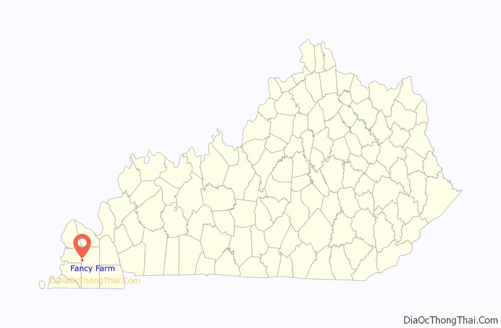
Fancy Farm is an unincorporated community and census-designated place in Graves County, Kentucky, United States, 10 miles (16 km) northwest of the county seat, Mayfield. As of the 2010 census it had a population of 458.
Fancy Farm is on Kentucky Route 80 in the rural, far-western portion of the state called the Jackson Purchase. It was settled by Roman Catholics starting in 1829, and is known for being a strongly Catholic area. The community grew around St. Jerome Church, built in 1836. The first post office opened in 1843. The colorful name was apparently chosen when the post office opened, by a man who was applying to be postmaster. It was first mentioned in the U.S. Census in 1870 as a post office in Boswell Precinct; first mentioned as a town in Magisterial District 5 in the 1910 census; and finally enumerated as a town in its own precinct in the 1920 census.
| Name: | Fancy Farm CDP |
|---|---|
| LSAD Code: | 57 |
| LSAD Description: | CDP (suffix) |
| State: | Kentucky |
| County: | Graves County |
| Elevation: | 430 ft (130 m) |
| Total Area: | 0.88 sq mi (2.27 km²) |
| Land Area: | 0.88 sq mi (2.27 km²) |
| Water Area: | 0.00 sq mi (0.01 km²) |
| Total Population: | 403 |
| Population Density: | 460.05/sq mi (177.63/km²) |
| ZIP code: | 42039 |
| Area code: | 270 & 364 |
| FIPS code: | 2126452 |
| GNISfeature ID: | 2629613 |
Online Interactive Map
Click on ![]() to view map in "full screen" mode.
to view map in "full screen" mode.
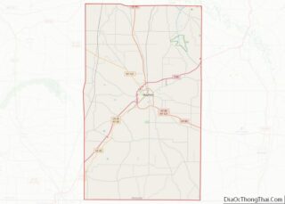
Fancy Farm location map. Where is Fancy Farm CDP?
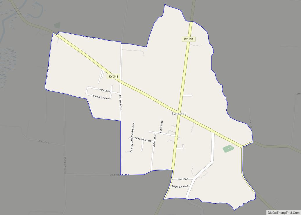
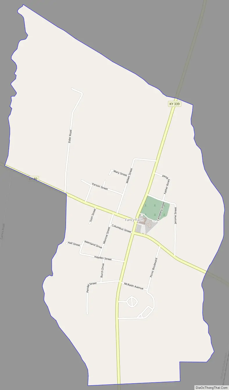
Fancy Farm Road Map
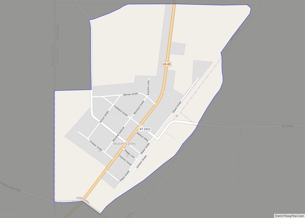
Fancy Farm city Satellite Map

See also
Map of Kentucky State and its subdivision:- Adair
- Allen
- Anderson
- Ballard
- Barren
- Bath
- Bell
- Boone
- Bourbon
- Boyd
- Boyle
- Bracken
- Breathitt
- Breckinridge
- Bullitt
- Butler
- Caldwell
- Calloway
- Campbell
- Carlisle
- Carroll
- Carter
- Casey
- Christian
- Clark
- Clay
- Clinton
- Crittenden
- Cumberland
- Daviess
- Edmonson
- Elliott
- Estill
- Fayette
- Fleming
- Floyd
- Franklin
- Fulton
- Gallatin
- Garrard
- Grant
- Graves
- Grayson
- Green
- Greenup
- Hancock
- Hardin
- Harlan
- Harrison
- Hart
- Henderson
- Henry
- Hickman
- Hopkins
- Jackson
- Jefferson
- Jessamine
- Johnson
- Kenton
- Knott
- Knox
- Larue
- Laurel
- Lawrence
- Lee
- Leslie
- Letcher
- Lewis
- Lincoln
- Livingston
- Logan
- Lyon
- Madison
- Magoffin
- Marion
- Marshall
- Martin
- Mason
- McCracken
- McCreary
- McLean
- Meade
- Menifee
- Mercer
- Metcalfe
- Monroe
- Montgomery
- Morgan
- Muhlenberg
- Nelson
- Nicholas
- Ohio
- Oldham
- Owen
- Owsley
- Pendleton
- Perry
- Pike
- Powell
- Pulaski
- Robertson
- Rockcastle
- Rowan
- Russell
- Scott
- Shelby
- Simpson
- Spencer
- Taylor
- Todd
- Trigg
- Trimble
- Union
- Warren
- Washington
- Wayne
- Webster
- Whitley
- Wolfe
- Woodford
- Alabama
- Alaska
- Arizona
- Arkansas
- California
- Colorado
- Connecticut
- Delaware
- District of Columbia
- Florida
- Georgia
- Hawaii
- Idaho
- Illinois
- Indiana
- Iowa
- Kansas
- Kentucky
- Louisiana
- Maine
- Maryland
- Massachusetts
- Michigan
- Minnesota
- Mississippi
- Missouri
- Montana
- Nebraska
- Nevada
- New Hampshire
- New Jersey
- New Mexico
- New York
- North Carolina
- North Dakota
- Ohio
- Oklahoma
- Oregon
- Pennsylvania
- Rhode Island
- South Carolina
- South Dakota
- Tennessee
- Texas
- Utah
- Vermont
- Virginia
- Washington
- West Virginia
- Wisconsin
- Wyoming