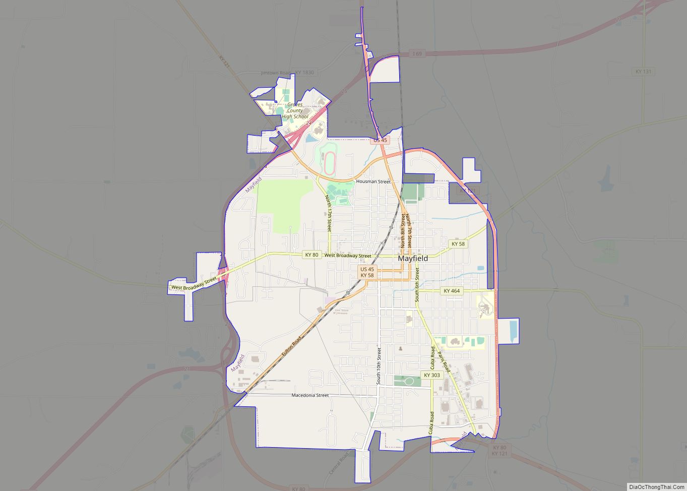
Mayfield is a home rule–class city and the county seat of Graves County, Kentucky, United States. The population was 10,017 as of the 2020 United States Census.
| Name: | Mayfield city |
|---|---|
| LSAD Code: | 25 |
| LSAD Description: | city (suffix) |
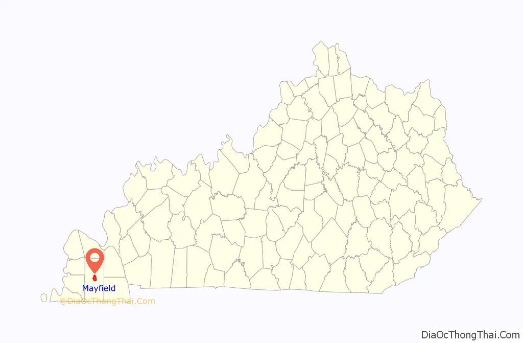
| State: | Kentucky |
| County: | Graves County |
| Incorporated: | 1846 |
| Elevation: | 476 ft (145 m) |
| Total Area: | 7.38 sq mi (19.11 km²) |
| Land Area: | 7.35 sq mi (19.03 km²) |
| Water Area: | 0.03 sq mi (0.09 km²) |
| Total Population: | 10,017 |
| Population Density: | 1,363.60/sq mi (526.50/km²) |
| ZIP code: | 42066 |
| Area code: | 270 & 364 |
| FIPS code: | 2150898 |
| Website: | mayfieldky.gov |
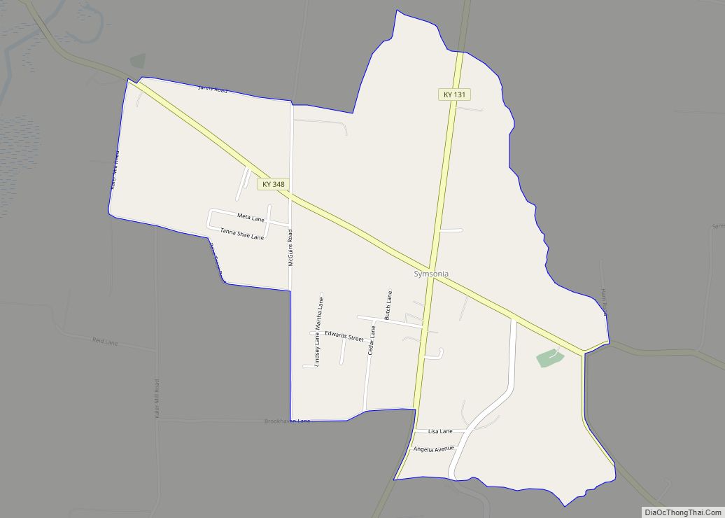
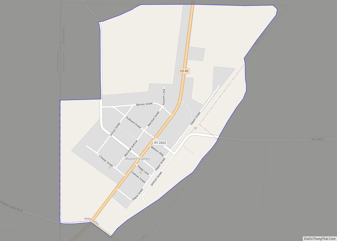
Online Interactive Map
Click on ![]() to view map in "full screen" mode.
to view map in "full screen" mode.
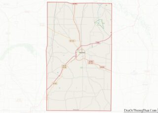
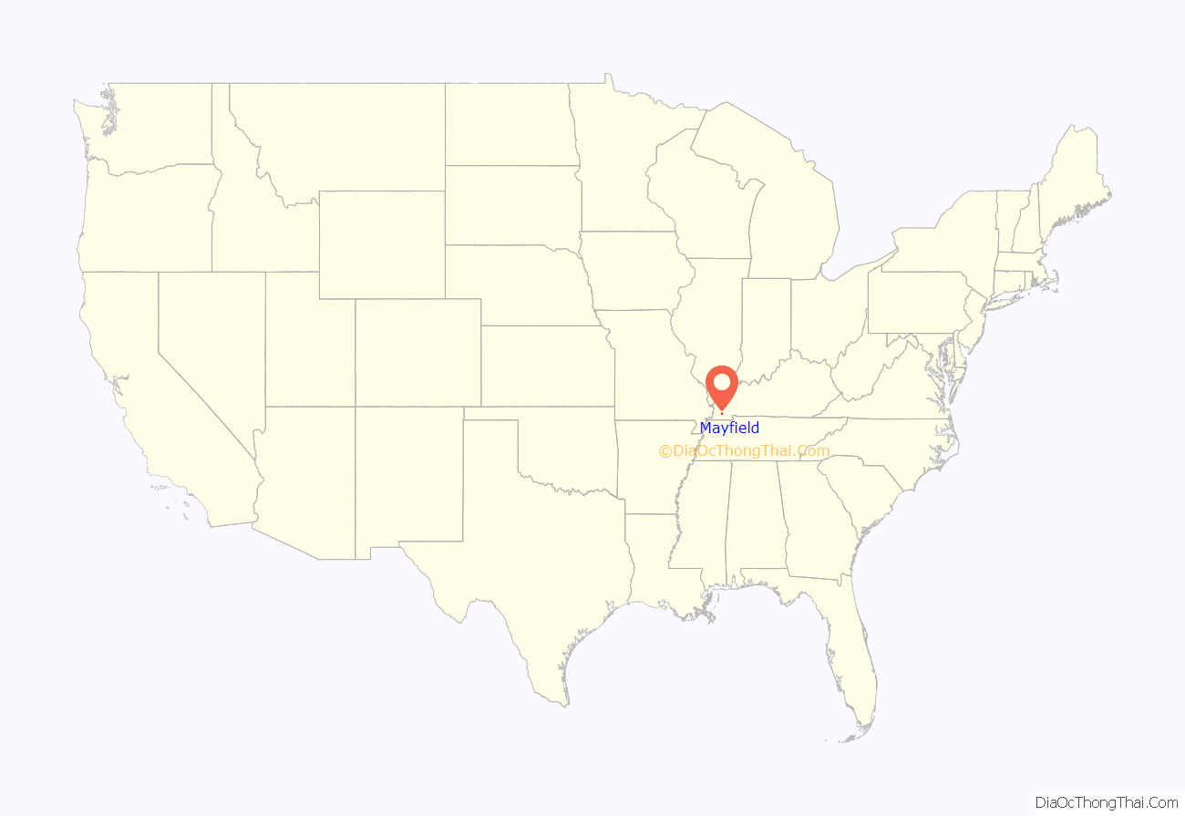
Mayfield location map. Where is Mayfield city?
History
19th century
Mayfield is in the center of the Jackson Purchase, an eight-county region purchased by Isaac Shelby and Andrew Jackson from the Chickasaw people in 1818. Mayfield was established as the county seat of Graves County in 1821, and the county was formally organized in 1823. John Anderson is believed to have been the first white settler, arriving in 1819 and building a log home on Mayfield Creek. In December 1821, Anderson was appointed county court clerk and moved about two and a half miles to the site that became Mayfield. According to Trabue Davis, the town’s name originates indirectly from a gambler named Mayfield, who was kidnapped about 1817 at a racetrack near what is now Hickman. He was carried to the site of today’s Mayfield, where he carved his name into a tree in hopes that someone would see it. He tried to escape but drowned trying to cross what is now called Mayfield Creek. The town took its name from the creek.
The completion of the Memphis, New Orleans, and Northern Railroad in 1858 connected Mayfield with the outside world. Beginning with the founding of the Mayfield Woolen Mills in 1860, manufacturing clothing became the main industry in Mayfield for the next hundred years. The town was also a major market for loose-leaf tobacco, and was part of the Black Patch, where Dark Fired Tobacco was processed.
During the Civil War, the Jackson Purchase area, including Mayfield, strongly supported the Confederate cause. It has been called “Kentucky’s South Carolina“. On May 29, 1861, a group of Southern sympathizers from Kentucky and Tennessee met at the Graves County Courthouse to discuss the possibility of joining the Jackson Purchase to West Tennessee. Most records of the event are lost, probably due to an 1887 fire that destroyed the courthouse.
20th century
In 1907, Fulton County judge Herbert Carr recalled that the Mayfield Convention adopted a resolution for secession. An historical marker in front of the Graves County courthouse now proclaims this as fact. However, records of the meeting kept by a Union sympathizer do not mention any such resolution. Historian Berry Craig argues that the convention believed Kentucky would eventually secede and a resolution to break away was unnecessary. Surviving records do show that the convention adopted resolutions condemning President Abraham Lincoln for “waging a bloody and cruel war” against the South, urging Gov. Beriah Magoffin to resist Union forces, and praising him for refusing to answer Lincoln’s demand for soldiers. They also condemned the Federal government for providing “Lincoln guns” to Union sympathizers in eastern Kentucky. The convention nominated Henry Burnett to represent Kentucky’s First District in Congress. The Mayfield Convention was followed by the Russellville Convention, which created the provisional Confederate government of Kentucky.
During and after Reconstruction, there was considerable white violence against blacks in the county. In one week in late December 1896, four black men were lynched in Mayfield. After Jim Stone was lynched, whites became fearful after hearing that blacks were arming to retaliate. They called for reinforcements from Fulton County, and fatally shot Will Suett, a young innocent black man getting off the train. The large white mob killed two more African-American men before the violence ended. Whites also burned four houses of African Americans.
During the Civil Rights Movement of the 1950s and 1960s, the local schools were slow to integrate, but they finally did so without violence. The “Mayfield Ten”, ten black students from the segregated Dunbar High School, were allowed to register in 1956 at all-white Mayfield High School.
21st century
In 2000, local resident Jessica Currin was murdered. The case was finally closed nearly seven years later with the help of a local amateur investigator named Susan Galbreath and Tom Mangold, a British journalist.
On May 10, 2016, an EF3 tornado passed just north of the city limits, resulting in ten injuries.
During the evening of December 10, 2021, a destructive long-track tornado impacted areas of Kentucky including Mayfield, causing significant amounts of damage.
The roof of Mayfield Consumer Products, a candle-making factory, collapsed during the tornado, with the fear that dozens died trapped within the building’s remnants. Estimates are that more than 100 employees were inside the factory when the tornado hit. By December 12, the company reported there had been eight deaths and eight remained missing. Many had gathered in a tornado shelter and left after the storm, and without power and phones they weren’t quickly located and accounted for. Workers filed a class-action lawsuit against their employer on December 16, after allegations by some workers that they were told they would be fired if they left work before the tornado hit. The allegations have been denied by the company.
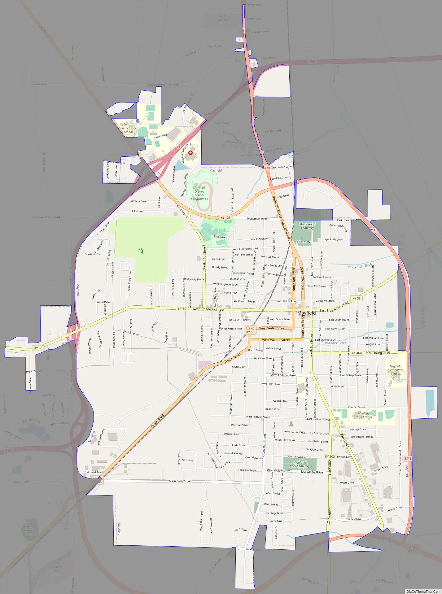
Mayfield Road Map
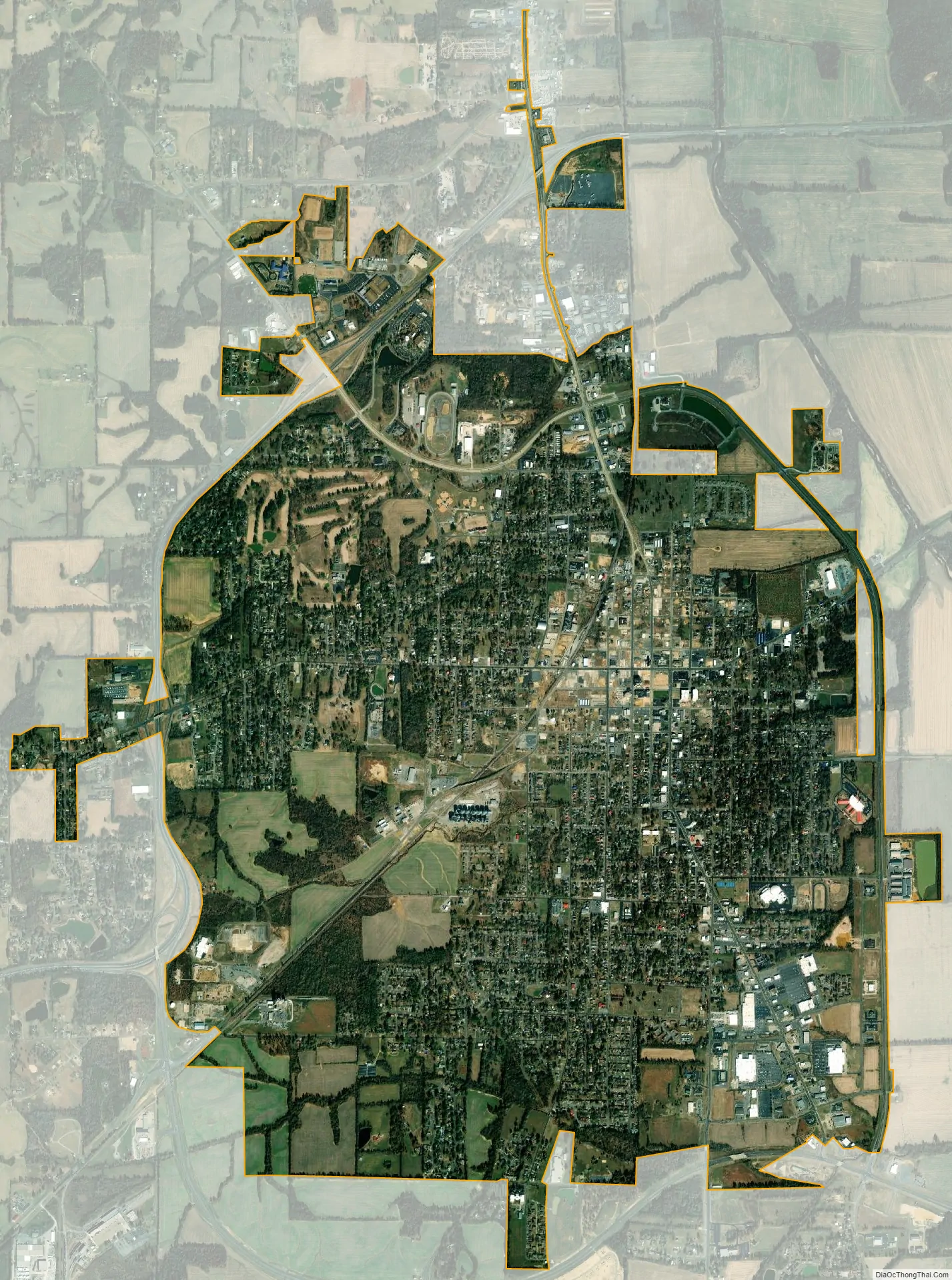
Mayfield city Satellite Map
Geography
According to the United States Census Bureau, the city has a total area of 6.9 square miles (17.9 km), of which 0.03 square miles (0.08 km), or 0.43%, is water.
The Purchase Parkway (designated as a future part of Interstate 69) forms a bypass to the northwest of Mayfield, running along or close to the city limits. Access is from Exits 21 through 25. The parkway leads northeast 28 miles (45 km) to Interstate 24 near Kentucky Dam, and southwest 22 miles (35 km) to Fulton. U.S. Route 45 leads north from Mayfield 26 miles (42 km) to Paducah on the Ohio River and southwest to Fulton. Kentucky Route 80 leads southeast 24 miles (39 km) to Murray.
Climate
The climate in this area is characterized by hot, humid summers and generally cool winters. According to the Köppen climate classification system, Mayfield has a humid subtropical climate, abbreviated “Cfa” on climate maps.
See also
Map of Kentucky State and its subdivision:- Adair
- Allen
- Anderson
- Ballard
- Barren
- Bath
- Bell
- Boone
- Bourbon
- Boyd
- Boyle
- Bracken
- Breathitt
- Breckinridge
- Bullitt
- Butler
- Caldwell
- Calloway
- Campbell
- Carlisle
- Carroll
- Carter
- Casey
- Christian
- Clark
- Clay
- Clinton
- Crittenden
- Cumberland
- Daviess
- Edmonson
- Elliott
- Estill
- Fayette
- Fleming
- Floyd
- Franklin
- Fulton
- Gallatin
- Garrard
- Grant
- Graves
- Grayson
- Green
- Greenup
- Hancock
- Hardin
- Harlan
- Harrison
- Hart
- Henderson
- Henry
- Hickman
- Hopkins
- Jackson
- Jefferson
- Jessamine
- Johnson
- Kenton
- Knott
- Knox
- Larue
- Laurel
- Lawrence
- Lee
- Leslie
- Letcher
- Lewis
- Lincoln
- Livingston
- Logan
- Lyon
- Madison
- Magoffin
- Marion
- Marshall
- Martin
- Mason
- McCracken
- McCreary
- McLean
- Meade
- Menifee
- Mercer
- Metcalfe
- Monroe
- Montgomery
- Morgan
- Muhlenberg
- Nelson
- Nicholas
- Ohio
- Oldham
- Owen
- Owsley
- Pendleton
- Perry
- Pike
- Powell
- Pulaski
- Robertson
- Rockcastle
- Rowan
- Russell
- Scott
- Shelby
- Simpson
- Spencer
- Taylor
- Todd
- Trigg
- Trimble
- Union
- Warren
- Washington
- Wayne
- Webster
- Whitley
- Wolfe
- Woodford
- Alabama
- Alaska
- Arizona
- Arkansas
- California
- Colorado
- Connecticut
- Delaware
- District of Columbia
- Florida
- Georgia
- Hawaii
- Idaho
- Illinois
- Indiana
- Iowa
- Kansas
- Kentucky
- Louisiana
- Maine
- Maryland
- Massachusetts
- Michigan
- Minnesota
- Mississippi
- Missouri
- Montana
- Nebraska
- Nevada
- New Hampshire
- New Jersey
- New Mexico
- New York
- North Carolina
- North Dakota
- Ohio
- Oklahoma
- Oregon
- Pennsylvania
- Rhode Island
- South Carolina
- South Dakota
- Tennessee
- Texas
- Utah
- Vermont
- Virginia
- Washington
- West Virginia
- Wisconsin
- Wyoming