Highland Heights is a home rule-class city in Campbell County, Kentucky, in the United States. The population was 6,923 at the 2010 U.S. census.
Highland Heights is home to Northern Kentucky University and General Cable, a Fortune 500 company whose present headquarters were constructed in 1992. It is located in the Cincinnati metropolitan area.
| Name: | Highland Heights city |
|---|---|
| LSAD Code: | 25 |
| LSAD Description: | city (suffix) |
| State: | Kentucky |
| County: | Campbell County |
| Elevation: | 853 ft (260 m) |
| Total Area: | 2.62 sq mi (6.79 km²) |
| Land Area: | 2.62 sq mi (6.79 km²) |
| Water Area: | 0.00 sq mi (0.00 km²) |
| Total Population: | 6,662 |
| Population Density: | 2,542.75/sq mi (981.63/km²) |
| ZIP code: | 41076, 41099 |
| Area code: | 859 |
| FIPS code: | 2136604 |
| GNISfeature ID: | 0494211 |
| Website: | hhky.com |
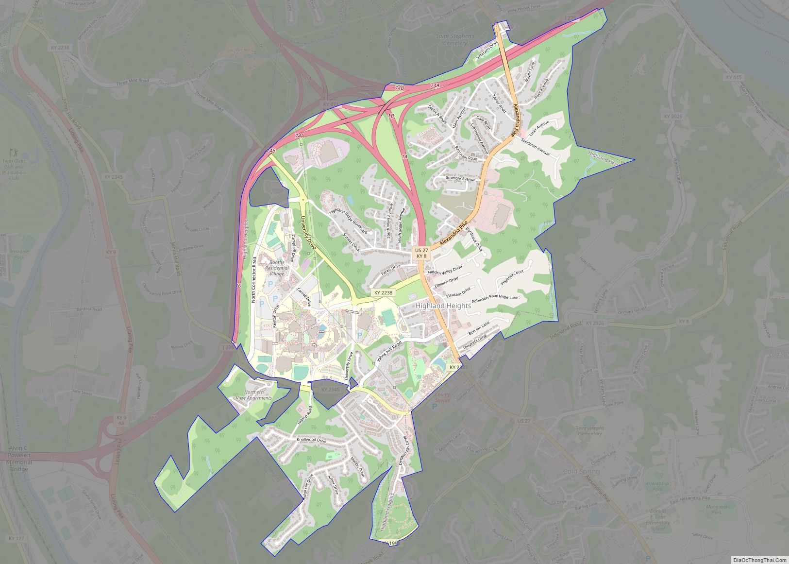
Online Interactive Map
Click on ![]() to view map in "full screen" mode.
to view map in "full screen" mode.
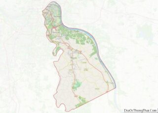
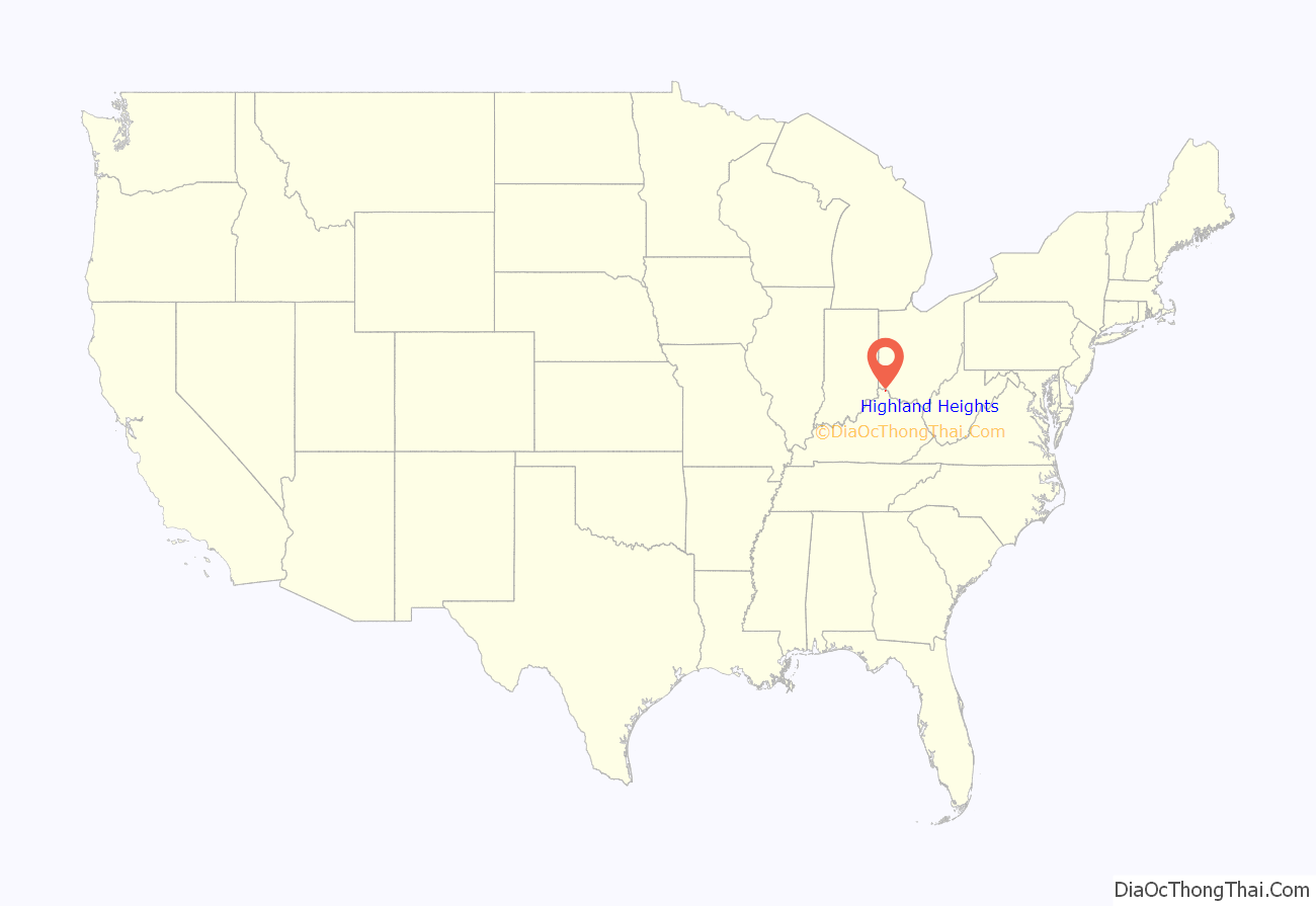
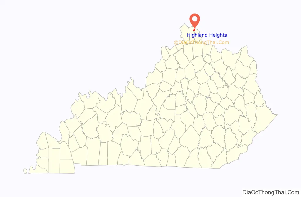
Highland Heights location map. Where is Highland Heights city?
History
The area has been known as “the Highlands” since the 19th century. The District of the Highlands was incorporated in 1867; Fort Thomas was separately incorporated from its northern reaches in 1914. The local post office was established in 1927, and the community of Highland Heights incorporated itself separately the same year.
Northern Kentucky State College, previously sited in Park Hills, was relocated to a larger campus in the city in 1971. It is now known as Northern Kentucky University (NKU), and subsidiary businesses and related developments have grown in the city.
In October 2012 Highland Heights resident Ryan Poston was murdered in his home. The perpetrator was his girlfriend, Shayna Hubers, who shot him six times. The case and trials attracted considerable media attention.
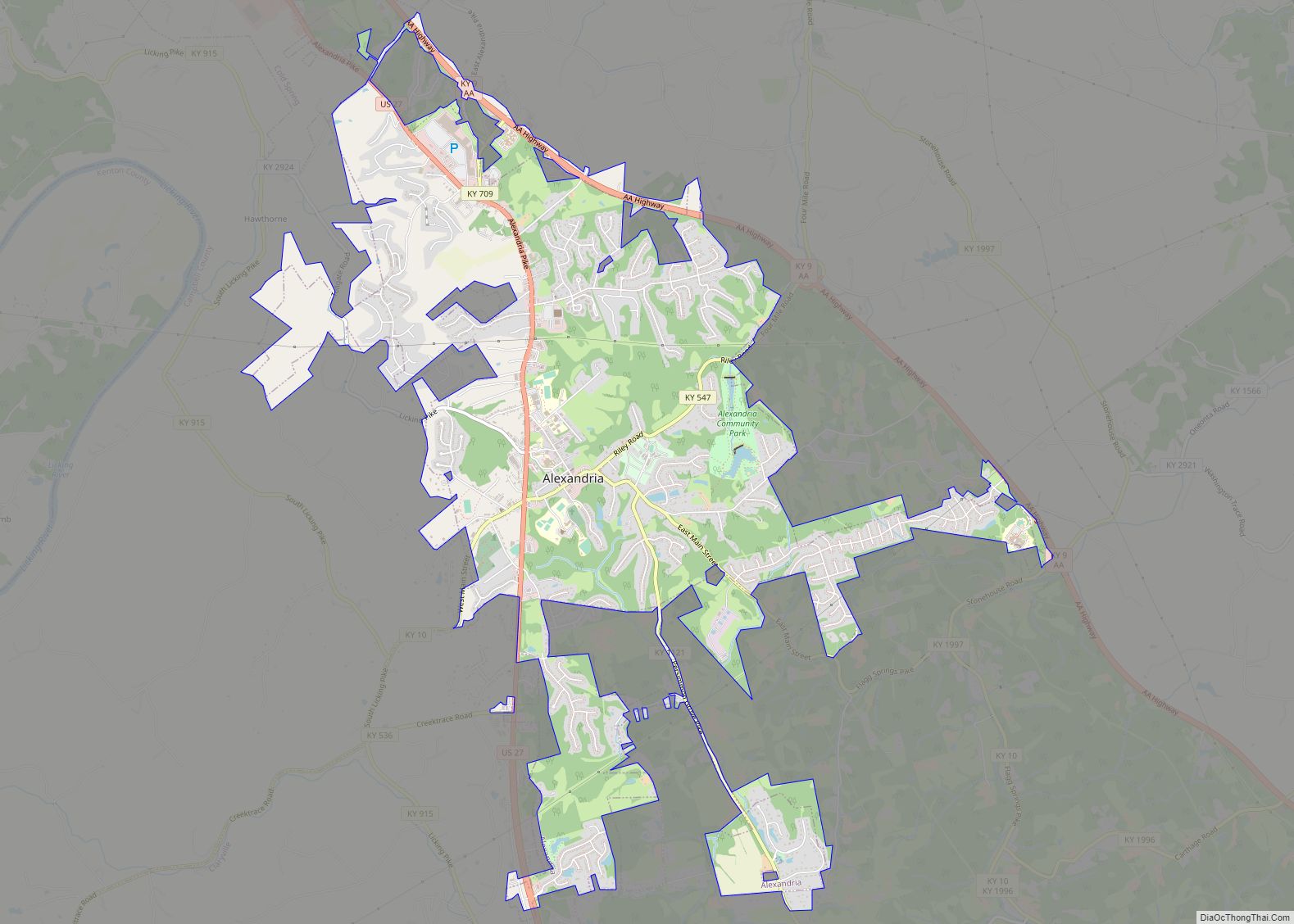
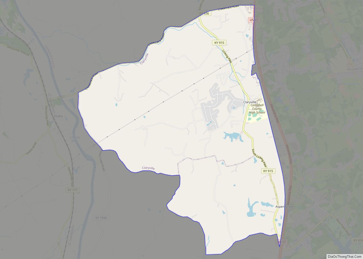
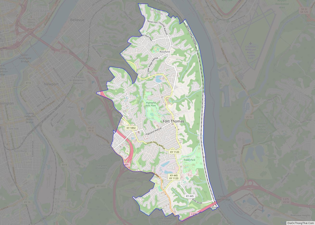
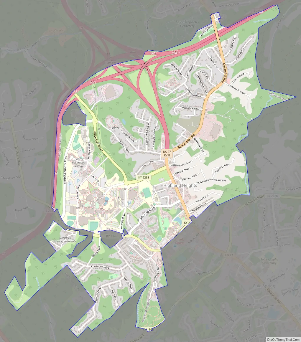
Highland Heights Road Map
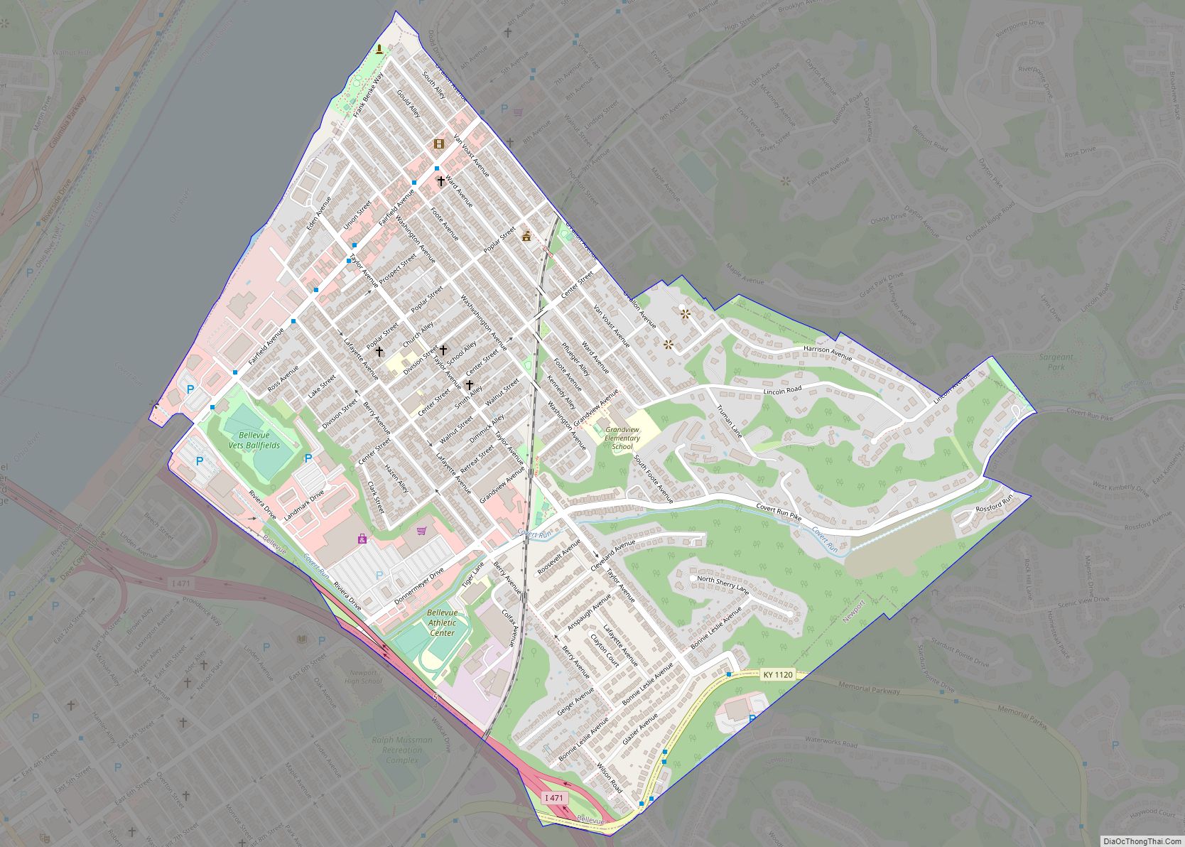
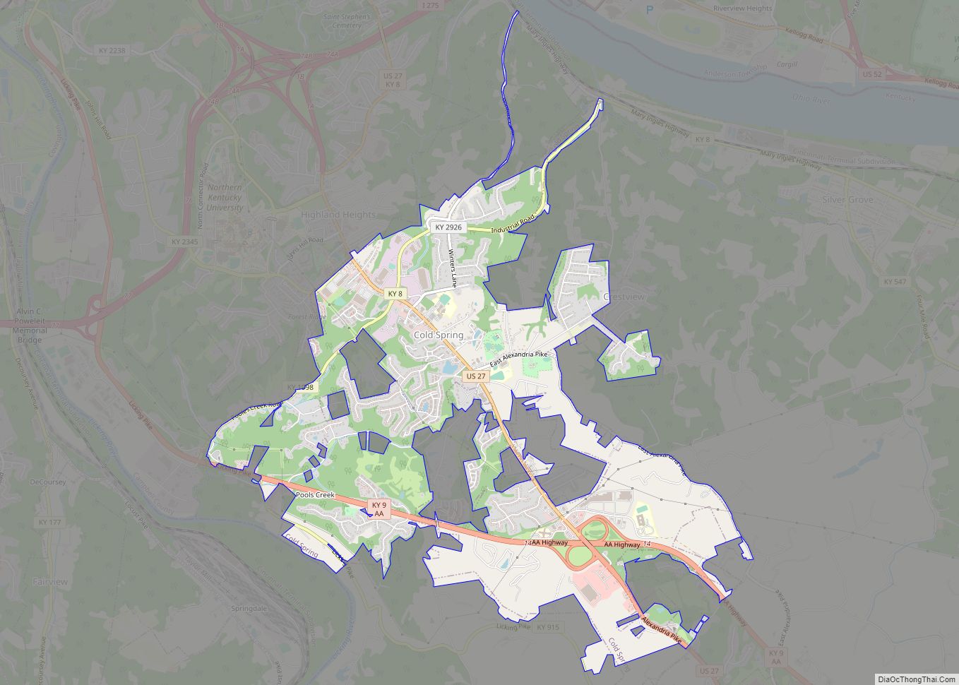
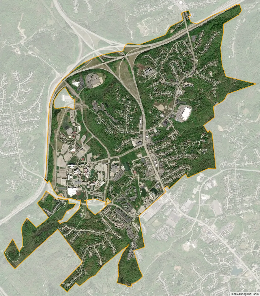
Highland Heights city Satellite Map
Geography
Highland Heights is located in northern Campbell County at 39°2′24″N 84°27′21″W / 39.04000°N 84.45583°W / 39.04000; -84.45583 (39.040035, −84.455851). It is bordered to the north by Fort Thomas, to the west by Wilder, and to the south by Cold Spring. Interstate 275, the beltway around Cincinnati, runs along the western and northern edges of Highland Heights. Its interchange with Interstate 471 is at the northern border of Highland Heights. Via I-471, Highland Heights is 7 miles (11 km) southeast of downtown Cincinnati.
According to the United States Census Bureau, the city has a total area of 2.6 square miles (6.7 km), all land.
See also
Map of Kentucky State and its subdivision:- Adair
- Allen
- Anderson
- Ballard
- Barren
- Bath
- Bell
- Boone
- Bourbon
- Boyd
- Boyle
- Bracken
- Breathitt
- Breckinridge
- Bullitt
- Butler
- Caldwell
- Calloway
- Campbell
- Carlisle
- Carroll
- Carter
- Casey
- Christian
- Clark
- Clay
- Clinton
- Crittenden
- Cumberland
- Daviess
- Edmonson
- Elliott
- Estill
- Fayette
- Fleming
- Floyd
- Franklin
- Fulton
- Gallatin
- Garrard
- Grant
- Graves
- Grayson
- Green
- Greenup
- Hancock
- Hardin
- Harlan
- Harrison
- Hart
- Henderson
- Henry
- Hickman
- Hopkins
- Jackson
- Jefferson
- Jessamine
- Johnson
- Kenton
- Knott
- Knox
- Larue
- Laurel
- Lawrence
- Lee
- Leslie
- Letcher
- Lewis
- Lincoln
- Livingston
- Logan
- Lyon
- Madison
- Magoffin
- Marion
- Marshall
- Martin
- Mason
- McCracken
- McCreary
- McLean
- Meade
- Menifee
- Mercer
- Metcalfe
- Monroe
- Montgomery
- Morgan
- Muhlenberg
- Nelson
- Nicholas
- Ohio
- Oldham
- Owen
- Owsley
- Pendleton
- Perry
- Pike
- Powell
- Pulaski
- Robertson
- Rockcastle
- Rowan
- Russell
- Scott
- Shelby
- Simpson
- Spencer
- Taylor
- Todd
- Trigg
- Trimble
- Union
- Warren
- Washington
- Wayne
- Webster
- Whitley
- Wolfe
- Woodford
- Alabama
- Alaska
- Arizona
- Arkansas
- California
- Colorado
- Connecticut
- Delaware
- District of Columbia
- Florida
- Georgia
- Hawaii
- Idaho
- Illinois
- Indiana
- Iowa
- Kansas
- Kentucky
- Louisiana
- Maine
- Maryland
- Massachusetts
- Michigan
- Minnesota
- Mississippi
- Missouri
- Montana
- Nebraska
- Nevada
- New Hampshire
- New Jersey
- New Mexico
- New York
- North Carolina
- North Dakota
- Ohio
- Oklahoma
- Oregon
- Pennsylvania
- Rhode Island
- South Carolina
- South Dakota
- Tennessee
- Texas
- Utah
- Vermont
- Virginia
- Washington
- West Virginia
- Wisconsin
- Wyoming