Hustonville is a home rule-class city in Lincoln County, Kentucky, in the United States. The population was 405 at the 2010 census. It is part of the Danville Micropolitan Statistical Area.
| Name: | Hustonville city |
|---|---|
| LSAD Code: | 25 |
| LSAD Description: | city (suffix) |
| State: | Kentucky |
| County: | Lincoln County |
| Incorporated: | 1850 |
| Elevation: | 984 ft (300 m) |
| Total Area: | 0.74 sq mi (1.91 km²) |
| Land Area: | 0.74 sq mi (1.91 km²) |
| Water Area: | 0.00 sq mi (0.00 km²) |
| Total Population: | 387 |
| Population Density: | 524.39/sq mi (202.51/km²) |
| ZIP code: | 40437 |
| Area code: | 606 |
| FIPS code: | 2138836 |
| GNISfeature ID: | 0494855 |
| Website: | www.hustonvilleky.com/index.html |
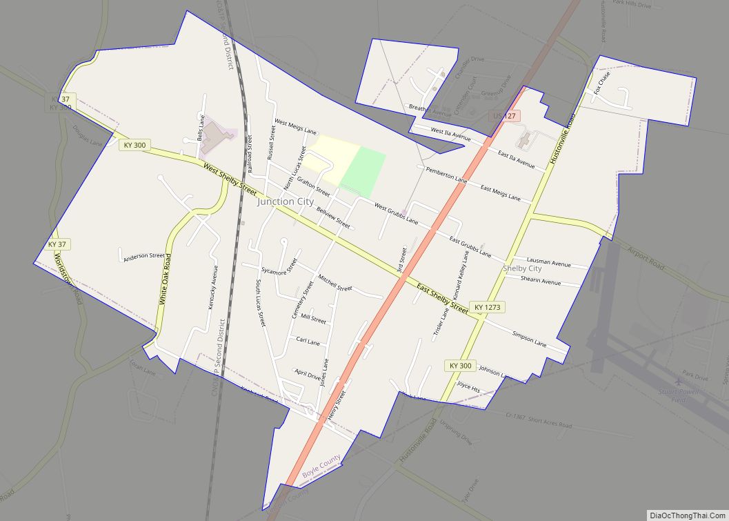
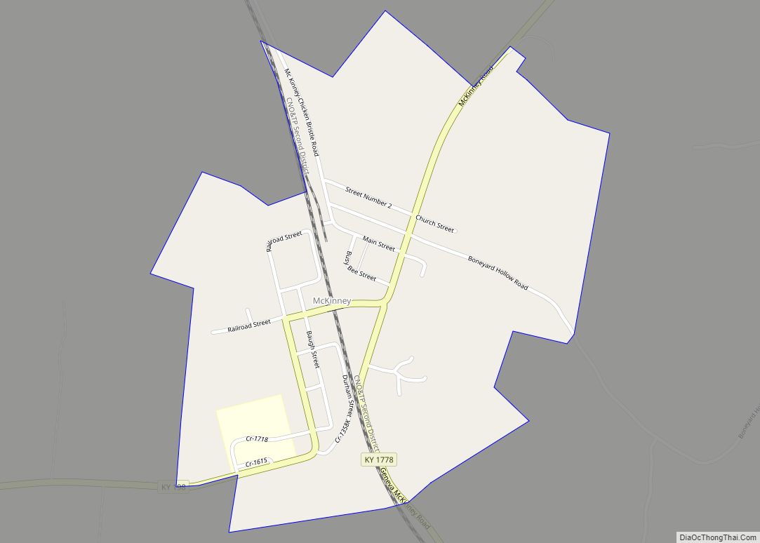
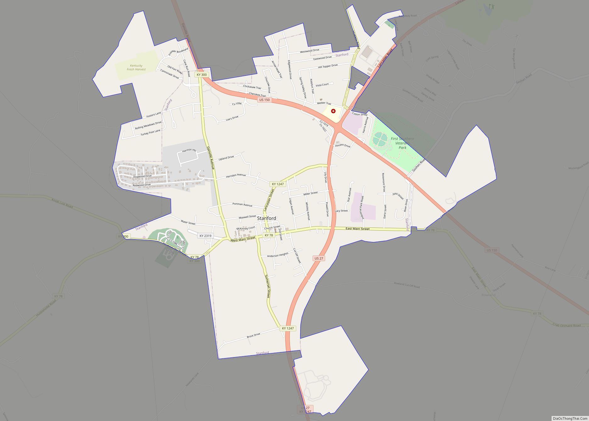
Online Interactive Map
Click on ![]() to view map in "full screen" mode.
to view map in "full screen" mode.
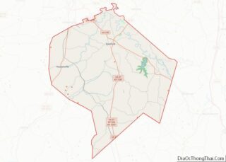
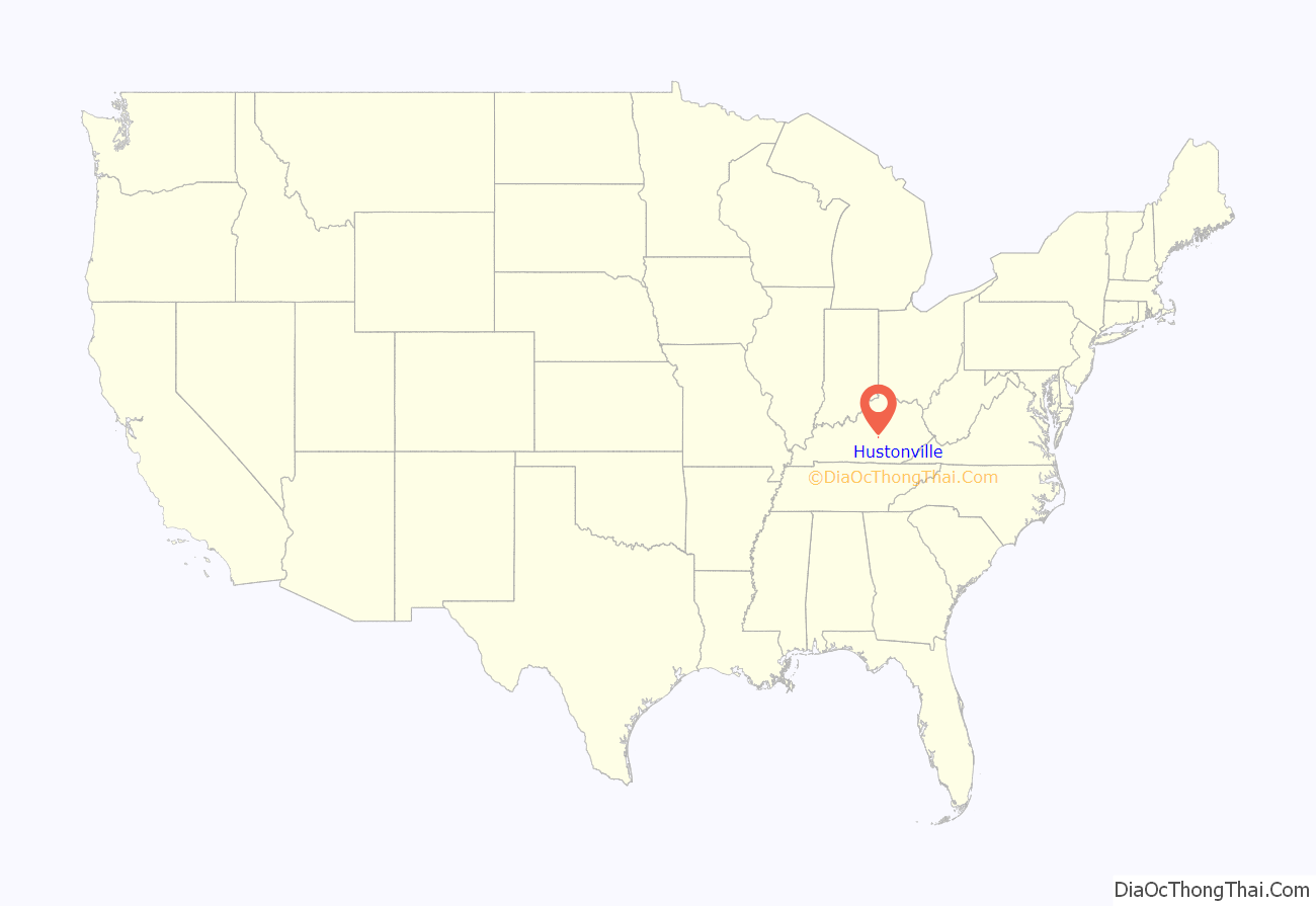
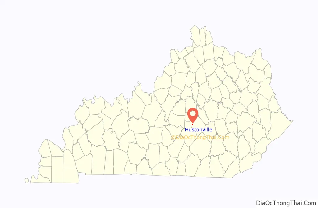
Hustonville location map. Where is Hustonville city?
History
The community was originally known as The Crossroads from its location on trails connecting the Kentucky and Green rivers and the Falls of the Ohio with Logan’s Fort (present-day Stanford). It was then known as Farmington and, after the 1818 erection of a post office, Hanging Fork after a local stream named for two bandits who were hanged by Virginia officers rather than escorted back for trial. For three months in 1826, it was known as New Store, but the name then returned to Hanging Fork. When the town was established on February 29, 1836, it was renamed Hustonville after two local landowners; the post office adopted the name the next year. The city was formally incorporated by the state assembly in 1850.
During the mid 19th and early 20th centuries, Hustonville was home to Christian College. The school was established following a fundraising campaign by William Logan Williams, who had been instrumental in securing money for church construction in the city. Future U.S. senator and Governor of Kentucky, Augustus O. Stanley, served as chair of belles-lettres at the school in 1890.
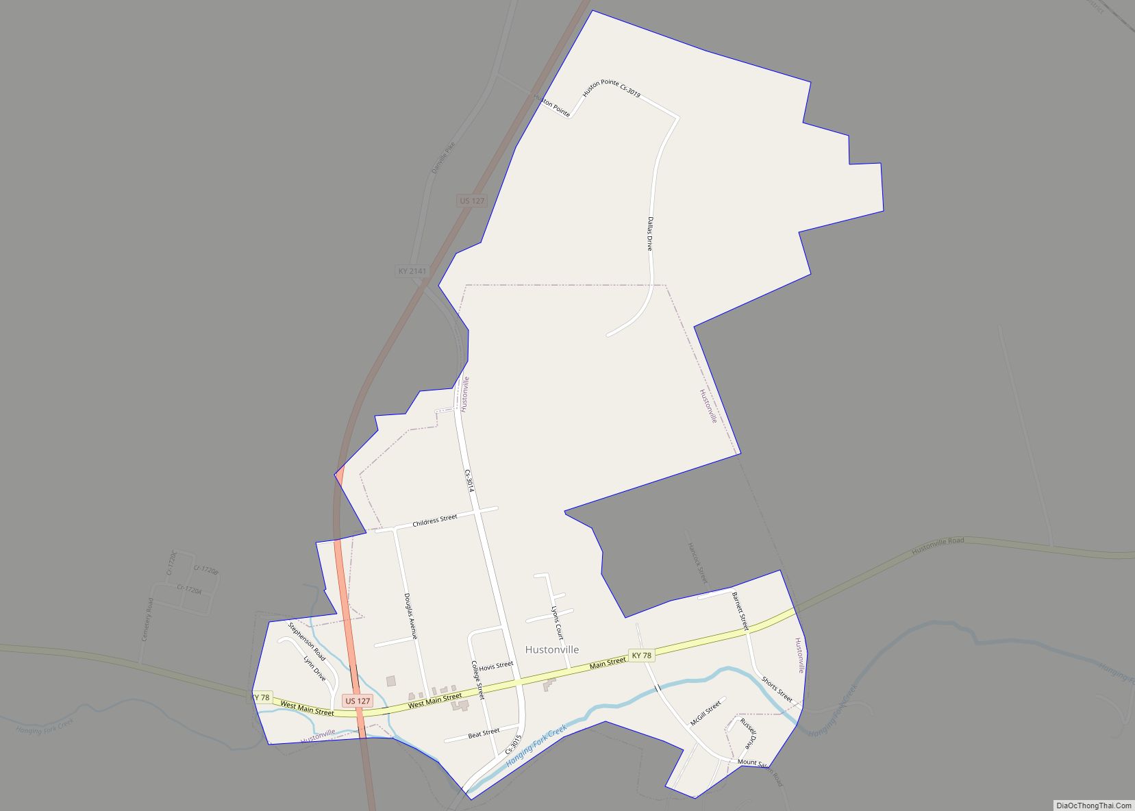
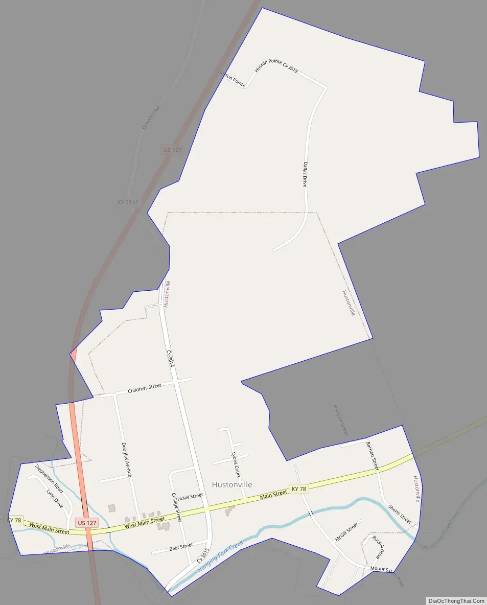
Hustonville Road Map
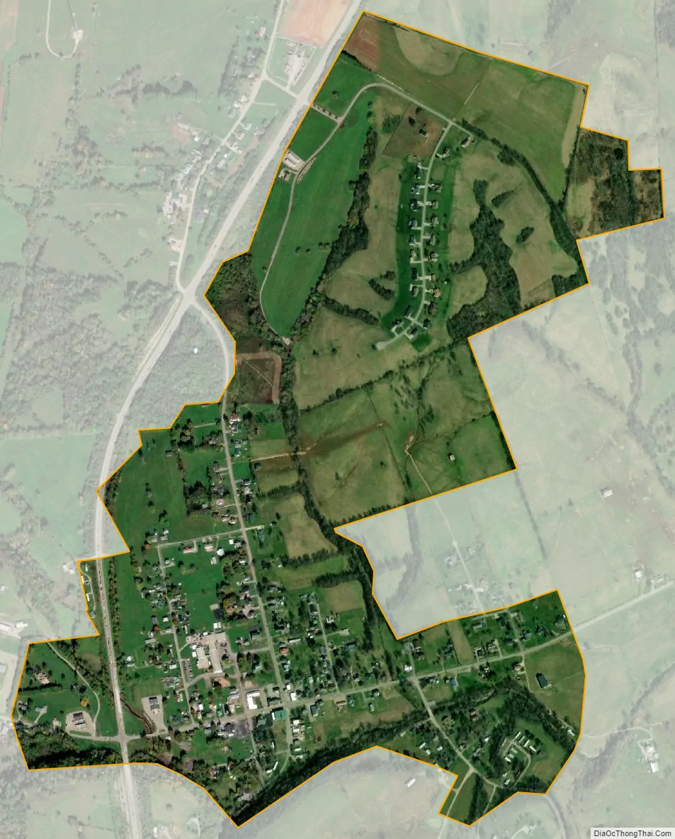
Hustonville city Satellite Map
Geography
According to the United States Census Bureau, the city has a total area of 0.6 square miles (1.6 km), all land. The city is concentrated along Kentucky Route 78 (Main Street), just east of its intersection with U.S. Route 127, in northwestern Lincoln County. The city lies near the headwaters of Hanging Fork Creek, a tributary of the Dix River.
See also
Map of Kentucky State and its subdivision:- Adair
- Allen
- Anderson
- Ballard
- Barren
- Bath
- Bell
- Boone
- Bourbon
- Boyd
- Boyle
- Bracken
- Breathitt
- Breckinridge
- Bullitt
- Butler
- Caldwell
- Calloway
- Campbell
- Carlisle
- Carroll
- Carter
- Casey
- Christian
- Clark
- Clay
- Clinton
- Crittenden
- Cumberland
- Daviess
- Edmonson
- Elliott
- Estill
- Fayette
- Fleming
- Floyd
- Franklin
- Fulton
- Gallatin
- Garrard
- Grant
- Graves
- Grayson
- Green
- Greenup
- Hancock
- Hardin
- Harlan
- Harrison
- Hart
- Henderson
- Henry
- Hickman
- Hopkins
- Jackson
- Jefferson
- Jessamine
- Johnson
- Kenton
- Knott
- Knox
- Larue
- Laurel
- Lawrence
- Lee
- Leslie
- Letcher
- Lewis
- Lincoln
- Livingston
- Logan
- Lyon
- Madison
- Magoffin
- Marion
- Marshall
- Martin
- Mason
- McCracken
- McCreary
- McLean
- Meade
- Menifee
- Mercer
- Metcalfe
- Monroe
- Montgomery
- Morgan
- Muhlenberg
- Nelson
- Nicholas
- Ohio
- Oldham
- Owen
- Owsley
- Pendleton
- Perry
- Pike
- Powell
- Pulaski
- Robertson
- Rockcastle
- Rowan
- Russell
- Scott
- Shelby
- Simpson
- Spencer
- Taylor
- Todd
- Trigg
- Trimble
- Union
- Warren
- Washington
- Wayne
- Webster
- Whitley
- Wolfe
- Woodford
- Alabama
- Alaska
- Arizona
- Arkansas
- California
- Colorado
- Connecticut
- Delaware
- District of Columbia
- Florida
- Georgia
- Hawaii
- Idaho
- Illinois
- Indiana
- Iowa
- Kansas
- Kentucky
- Louisiana
- Maine
- Maryland
- Massachusetts
- Michigan
- Minnesota
- Mississippi
- Missouri
- Montana
- Nebraska
- Nevada
- New Hampshire
- New Jersey
- New Mexico
- New York
- North Carolina
- North Dakota
- Ohio
- Oklahoma
- Oregon
- Pennsylvania
- Rhode Island
- South Carolina
- South Dakota
- Tennessee
- Texas
- Utah
- Vermont
- Virginia
- Washington
- West Virginia
- Wisconsin
- Wyoming