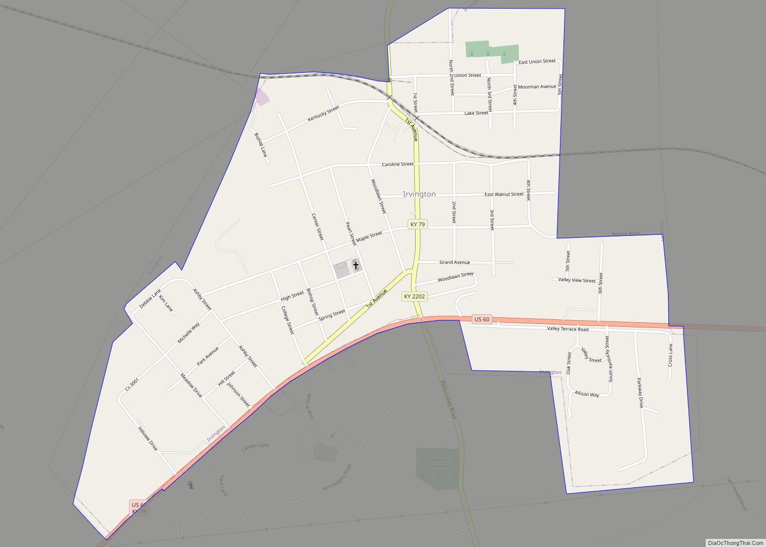
Irvington is a home rule-class city in Breckinridge County, Kentucky, in the United States. The population was 1,181 at the 2010 census.
| Name: | Irvington city |
|---|---|
| LSAD Code: | 25 |
| LSAD Description: | city (suffix) |
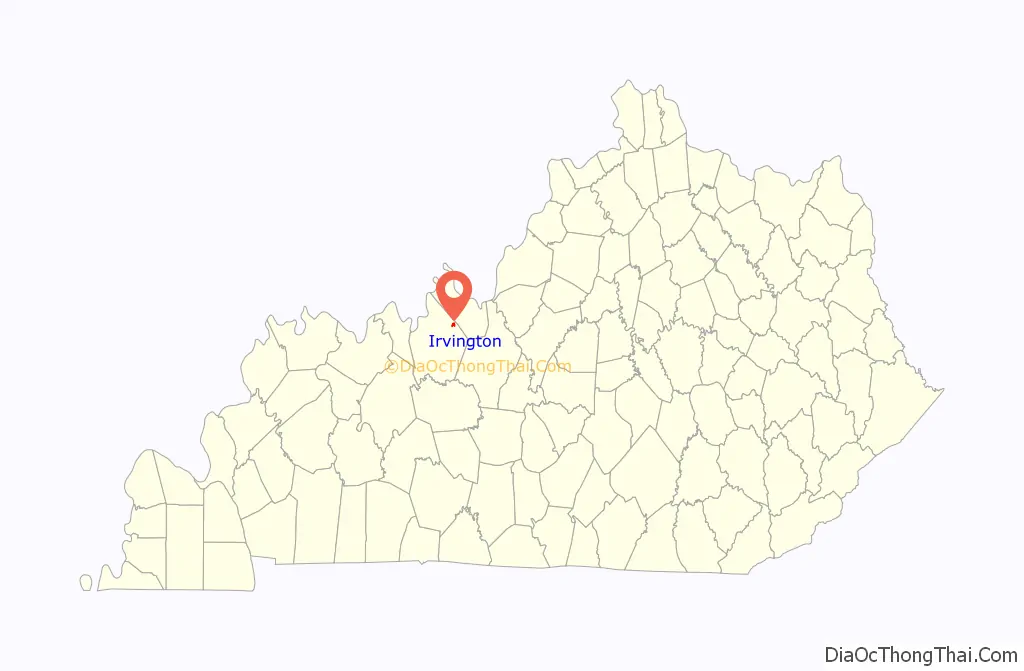
| State: | Kentucky |
| County: | Breckinridge County |
| Incorporated: | 1889 |
| Elevation: | 620 ft (189 m) |
| Total Area: | 0.88 sq mi (2.27 km²) |
| Land Area: | 0.88 sq mi (2.27 km²) |
| Water Area: | 0.00 sq mi (0.00 km²) |
| Total Population: | 1,231 |
| Population Density: | 1,402.05/sq mi (541.54/km²) |
| ZIP code: | 40146 |
| Area code: | 270 & 364 |
| FIPS code: | 2139664 |
| GNISfeature ID: | 0495028 |
| Website: | irvington.ky.gov |
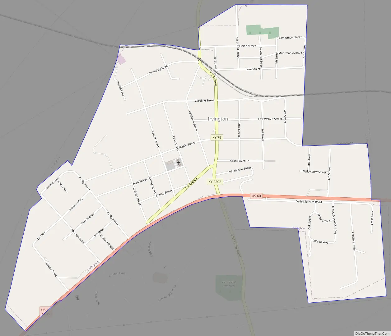
Online Interactive Map
Click on ![]() to view map in "full screen" mode.
to view map in "full screen" mode.
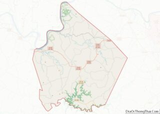
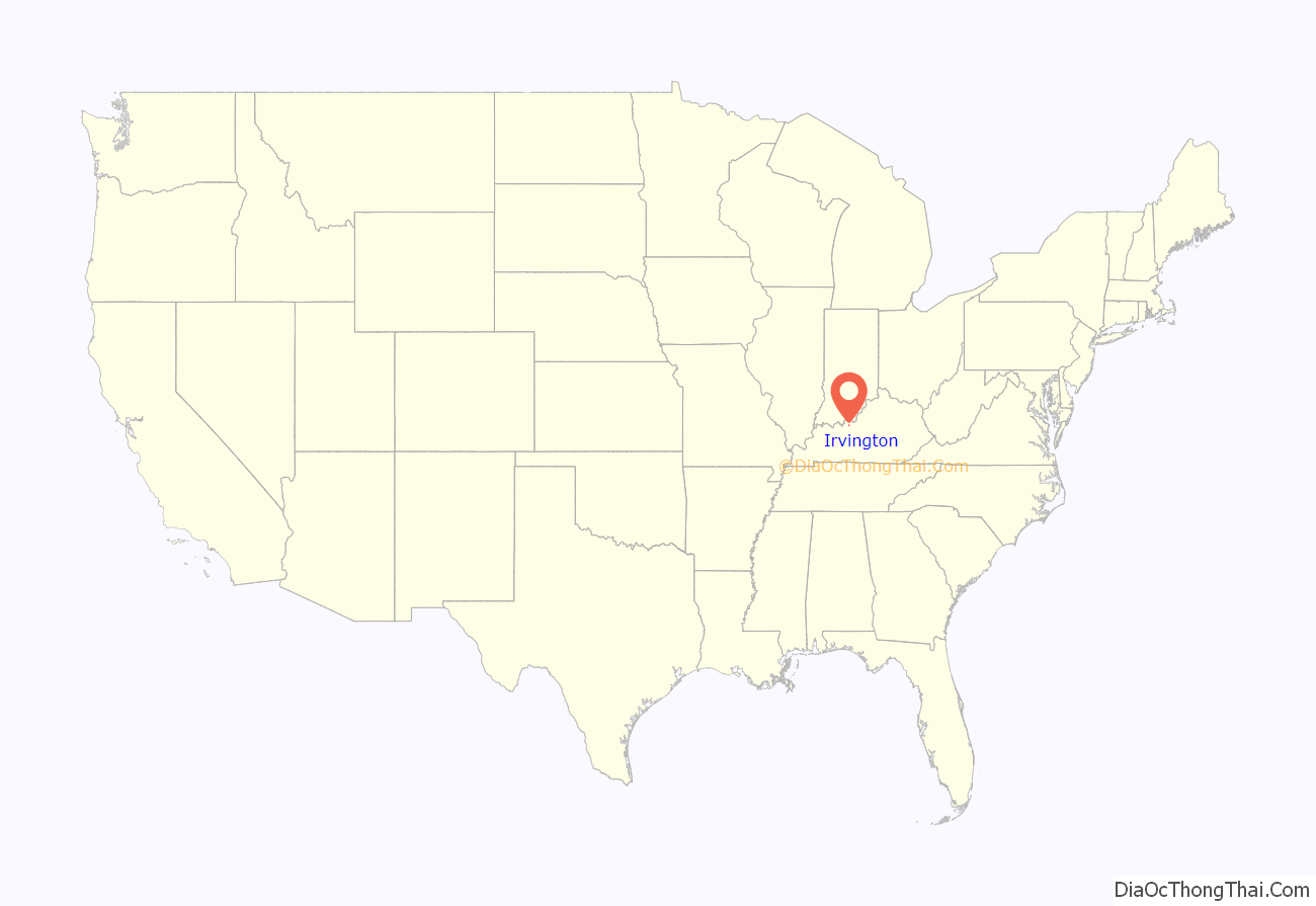
Irvington location map. Where is Irvington city?
History
The local post office was first established as Merino (for the nearby Mt. Merino Seminary) on February 16, 1885. However, two area businessmen, R.M. Jolly and Edgar L. Bennett, anticipating the route of the Louisville, St. Louis, and Texas Railroad, purchased 315 acres (127 ha) of farmland at the site and then, with the help of the railroad’s employees, platted a new community over the 1888–89 winter. This was named for Irvington, New York, the hometown of the railroad’s chief engineer, Eugene Cornwall. Irvington was formally incorporated by the state assembly in 1889.
In 1933, Holy Guardian Angel Roman Catholic church was moved from nearby Mount Merino to High Street. The move was made when the church at Mount Merino needed too many repairs and it was decided to move closer to the population center.
Irvington Road Map
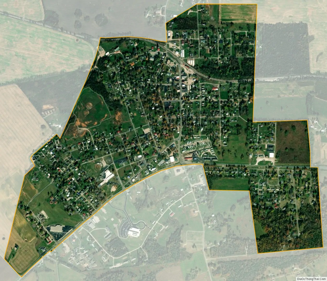
Irvington city Satellite Map
Geography
Irvington is located at 37°52′44″N 86°17′5″W / 37.87889°N 86.28472°W / 37.87889; -86.28472 (37.878966, -86.284637).
According to the United States Census Bureau, the city has a total area of 0.89 square miles (2.3 km), all land.
See also
Map of Kentucky State and its subdivision:- Adair
- Allen
- Anderson
- Ballard
- Barren
- Bath
- Bell
- Boone
- Bourbon
- Boyd
- Boyle
- Bracken
- Breathitt
- Breckinridge
- Bullitt
- Butler
- Caldwell
- Calloway
- Campbell
- Carlisle
- Carroll
- Carter
- Casey
- Christian
- Clark
- Clay
- Clinton
- Crittenden
- Cumberland
- Daviess
- Edmonson
- Elliott
- Estill
- Fayette
- Fleming
- Floyd
- Franklin
- Fulton
- Gallatin
- Garrard
- Grant
- Graves
- Grayson
- Green
- Greenup
- Hancock
- Hardin
- Harlan
- Harrison
- Hart
- Henderson
- Henry
- Hickman
- Hopkins
- Jackson
- Jefferson
- Jessamine
- Johnson
- Kenton
- Knott
- Knox
- Larue
- Laurel
- Lawrence
- Lee
- Leslie
- Letcher
- Lewis
- Lincoln
- Livingston
- Logan
- Lyon
- Madison
- Magoffin
- Marion
- Marshall
- Martin
- Mason
- McCracken
- McCreary
- McLean
- Meade
- Menifee
- Mercer
- Metcalfe
- Monroe
- Montgomery
- Morgan
- Muhlenberg
- Nelson
- Nicholas
- Ohio
- Oldham
- Owen
- Owsley
- Pendleton
- Perry
- Pike
- Powell
- Pulaski
- Robertson
- Rockcastle
- Rowan
- Russell
- Scott
- Shelby
- Simpson
- Spencer
- Taylor
- Todd
- Trigg
- Trimble
- Union
- Warren
- Washington
- Wayne
- Webster
- Whitley
- Wolfe
- Woodford
- Alabama
- Alaska
- Arizona
- Arkansas
- California
- Colorado
- Connecticut
- Delaware
- District of Columbia
- Florida
- Georgia
- Hawaii
- Idaho
- Illinois
- Indiana
- Iowa
- Kansas
- Kentucky
- Louisiana
- Maine
- Maryland
- Massachusetts
- Michigan
- Minnesota
- Mississippi
- Missouri
- Montana
- Nebraska
- Nevada
- New Hampshire
- New Jersey
- New Mexico
- New York
- North Carolina
- North Dakota
- Ohio
- Oklahoma
- Oregon
- Pennsylvania
- Rhode Island
- South Carolina
- South Dakota
- Tennessee
- Texas
- Utah
- Vermont
- Virginia
- Washington
- West Virginia
- Wisconsin
- Wyoming