Jackson is a home rule-class city in and the county seat of Breathitt County, Kentucky, in the United States. The population was 2,231 according to the 2010 U.S. census.
It was the home of the Jackson Academy, which became Lees College.
| Name: | Jackson city |
|---|---|
| LSAD Code: | 25 |
| LSAD Description: | city (suffix) |
| State: | Kentucky |
| County: | Breathitt County |
| Incorporated: | 1845 |
| Elevation: | 774 ft (236 m) |
| Total Area: | 2.67 sq mi (6.92 km²) |
| Land Area: | 2.51 sq mi (6.50 km²) |
| Water Area: | 0.16 sq mi (0.42 km²) |
| Total Population: | 2,237 |
| Population Density: | 891.95/sq mi (344.32/km²) |
| ZIP code: | 41307, 41339 |
| Area code: | 606 |
| FIPS code: | 2139952 |
| GNISfeature ID: | 0495097 |
Online Interactive Map
Click on ![]() to view map in "full screen" mode.
to view map in "full screen" mode.
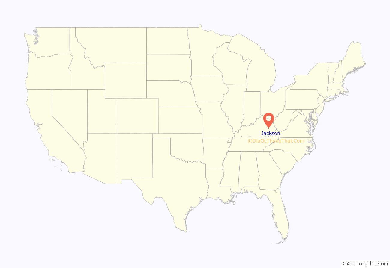
Jackson location map. Where is Jackson city?
History
Upon the creation of Breathitt County in 1839, local landowner Simon Cockrell Sr. donated 10 acres (4.0 ha) to serve as its seat of government. The community was originally known as Breathitt, Breathitt Town, or Breathitt Court House after the county, but upon its incorporation as a city by the state legislature in 1843, it was renamed Jackson to honor former president Andrew Jackson.
Local feuds led the national press to publish stories about Jackson and “Bloody Breathitt”: state troops were dispatched twice in the 1870s and again in 1903 – after the assassination of U.S. Commissioner James B. Marcum on the courthouse steps – to restore order.
The Kentucky Union Railroad reached the city in 1891, and Jackson boomed until the L&N continued the line on to Hazard in 1912. A fire on Halloween, 1913, burned down much of the town.
Jackson Road Map
Jackson city Satellite Map
Geography
Jackson is located at 37°33′11″N 83°23′18″W / 37.55306°N 83.38833°W / 37.55306; -83.38833 (37.553012, −83.388249). The city is nestled in the heart of the Cumberland Plateau of the Appalachian Mountains, with the downtown located on the north bank of the North Fork of the Kentucky River. To limit flooding, the Kentucky River was redirected in 1963 by way of a small cut-through through the mountain, and its former channel, a river meander, was left behind as Panbowl Lake, now a prime attraction for fishermen.
According to the United States Census Bureau, Jackson has a total area of 2.7 square miles (6.9 km), of which 2.5 square miles (6.5 km) is land and 0.15 square miles (0.4 km), or 6.11%, is water.
Climate
The climate in this area is characterized by relatively moderate temperatures and evenly distributed precipitation throughout the year. The Köppen climate classification places the city in the humid subtropical zone, which is abbreviated as Cfa. The normal monthly mean temperature ranges from 34.9 °F (1.6 °C) in January to 75.4 °F (24.1 °C) in July. On average, there are 17 days where temperatures remain at or below freezing and 15 days with highs at or above 90 °F (32 °C) per year. In addition, although the area falls under USDA hardiness zone 6b, the record longest streak without 0 °F (−18 °C) lows occurred from February 6, 1996 to January 15, 2009 (12 years, 344 days). The highest recorded temperature was 104 °F (40 °C) on June 29, 2012, and the lowest recorded temperature was −18 °F (−28 °C) on January 19, 1994 and January 20 and 21, 1985.
Precipitation averages 48.3 inches (1,230 mm) annually, falling on an average 144 days, and the wettest month by normal rainfall is May. Normal winter snowfall is 23.5 inches (60 cm), though, as is typical in areas in the humid subtropical zone, snow cover does not remain for long, as there is an average of only 18 days with at least 1 inch (2.5 cm) of snow cover.
See also
Map of Kentucky State and its subdivision:- Adair
- Allen
- Anderson
- Ballard
- Barren
- Bath
- Bell
- Boone
- Bourbon
- Boyd
- Boyle
- Bracken
- Breathitt
- Breckinridge
- Bullitt
- Butler
- Caldwell
- Calloway
- Campbell
- Carlisle
- Carroll
- Carter
- Casey
- Christian
- Clark
- Clay
- Clinton
- Crittenden
- Cumberland
- Daviess
- Edmonson
- Elliott
- Estill
- Fayette
- Fleming
- Floyd
- Franklin
- Fulton
- Gallatin
- Garrard
- Grant
- Graves
- Grayson
- Green
- Greenup
- Hancock
- Hardin
- Harlan
- Harrison
- Hart
- Henderson
- Henry
- Hickman
- Hopkins
- Jackson
- Jefferson
- Jessamine
- Johnson
- Kenton
- Knott
- Knox
- Larue
- Laurel
- Lawrence
- Lee
- Leslie
- Letcher
- Lewis
- Lincoln
- Livingston
- Logan
- Lyon
- Madison
- Magoffin
- Marion
- Marshall
- Martin
- Mason
- McCracken
- McCreary
- McLean
- Meade
- Menifee
- Mercer
- Metcalfe
- Monroe
- Montgomery
- Morgan
- Muhlenberg
- Nelson
- Nicholas
- Ohio
- Oldham
- Owen
- Owsley
- Pendleton
- Perry
- Pike
- Powell
- Pulaski
- Robertson
- Rockcastle
- Rowan
- Russell
- Scott
- Shelby
- Simpson
- Spencer
- Taylor
- Todd
- Trigg
- Trimble
- Union
- Warren
- Washington
- Wayne
- Webster
- Whitley
- Wolfe
- Woodford
- Alabama
- Alaska
- Arizona
- Arkansas
- California
- Colorado
- Connecticut
- Delaware
- District of Columbia
- Florida
- Georgia
- Hawaii
- Idaho
- Illinois
- Indiana
- Iowa
- Kansas
- Kentucky
- Louisiana
- Maine
- Maryland
- Massachusetts
- Michigan
- Minnesota
- Mississippi
- Missouri
- Montana
- Nebraska
- Nevada
- New Hampshire
- New Jersey
- New Mexico
- New York
- North Carolina
- North Dakota
- Ohio
- Oklahoma
- Oregon
- Pennsylvania
- Rhode Island
- South Carolina
- South Dakota
- Tennessee
- Texas
- Utah
- Vermont
- Virginia
- Washington
- West Virginia
- Wisconsin
- Wyoming


