Jamestown is a home rule-class city in Russell County, Kentucky, in the United States. It is the seat of its county. The population was 1,794 at the 2010 U.S. census.
| Name: | Jamestown city |
|---|---|
| LSAD Code: | 25 |
| LSAD Description: | city (suffix) |
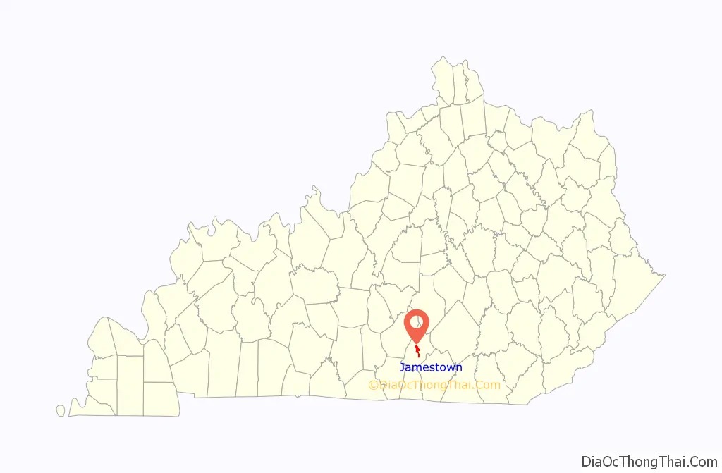
| State: | Kentucky |
| County: | Russell County |
| Incorporated: | 1826 |
| Elevation: | 971 ft (296 m) |
| Total Area: | 3.65 sq mi (9.46 km²) |
| Land Area: | 3.52 sq mi (9.11 km²) |
| Water Area: | 0.14 sq mi (0.35 km²) |
| Total Population: | 1,867 |
| Population Density: | 530.70/sq mi (204.91/km²) |
| ZIP code: | 42629 |
| Area code: | 270 & 364 |
| FIPS code: | 2140114 |
| GNISfeature ID: | 0495165 |
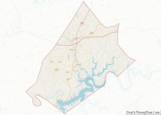
Online Interactive Map
Click on ![]() to view map in "full screen" mode.
to view map in "full screen" mode.
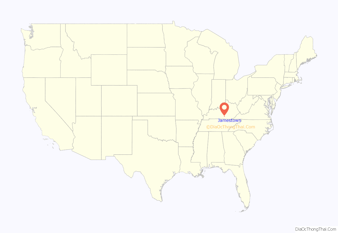
Jamestown location map. Where is Jamestown city?
History
The community was established in 1826 to be the seat of the newly formed Russell County. It was briefly known as Jacksonville in honor of General Andrew Jackson, who had just won a plurality of the popular vote during the 1824 presidential election but lost the runoff in the House of Representatives, largely because of the “corrupt bargain” struck by Henry Clay and John Quincy Adams. However, an anti-Jacksonian party loyal to Clay came into power the same year and the post office was established in November as Jamestown after local landowner James Wooldridge, who (together with his brother John) had donated 110 acres of land for the town. The act of the state legislature incorporating the city in December continued this name, which the city has used since.
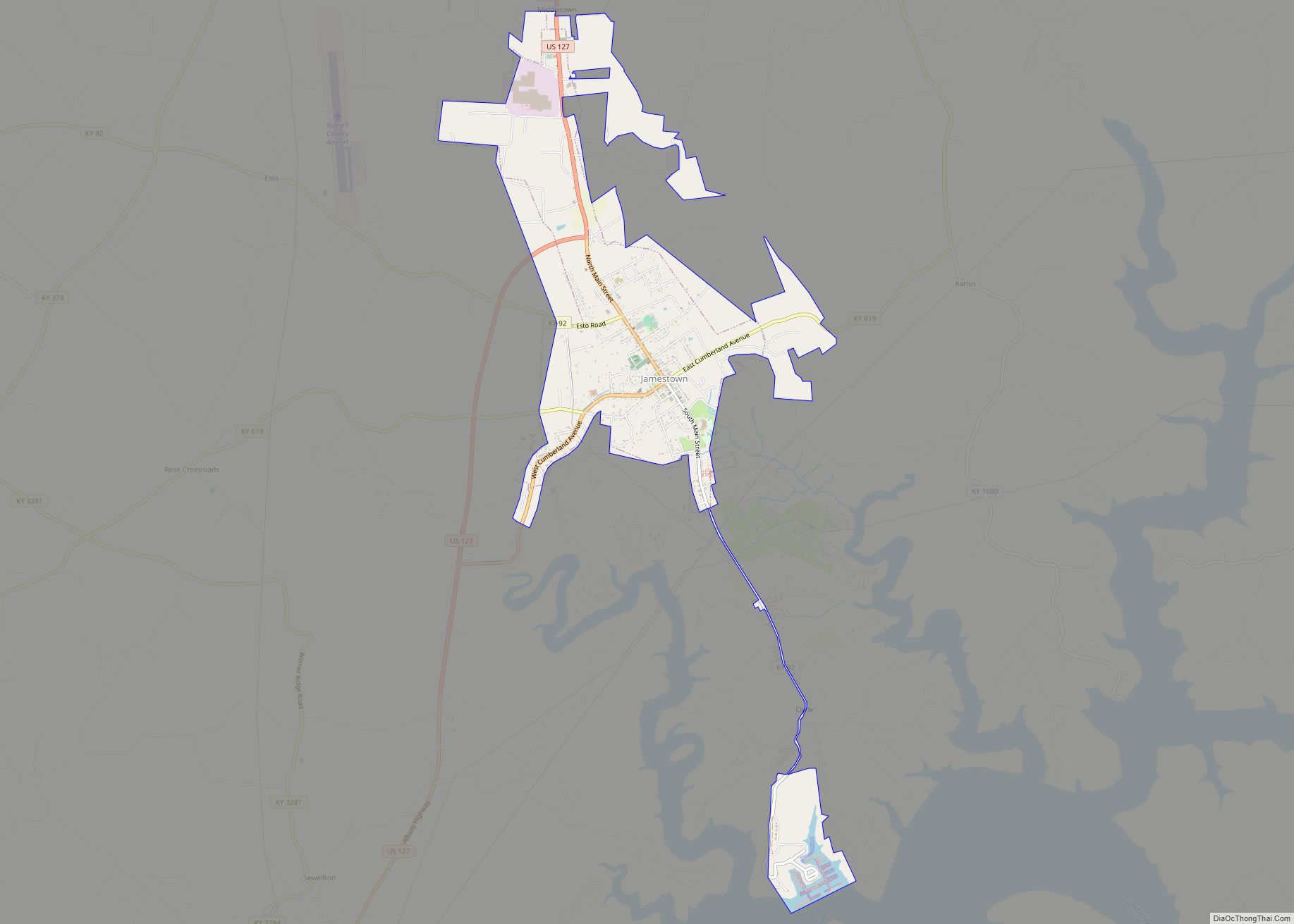
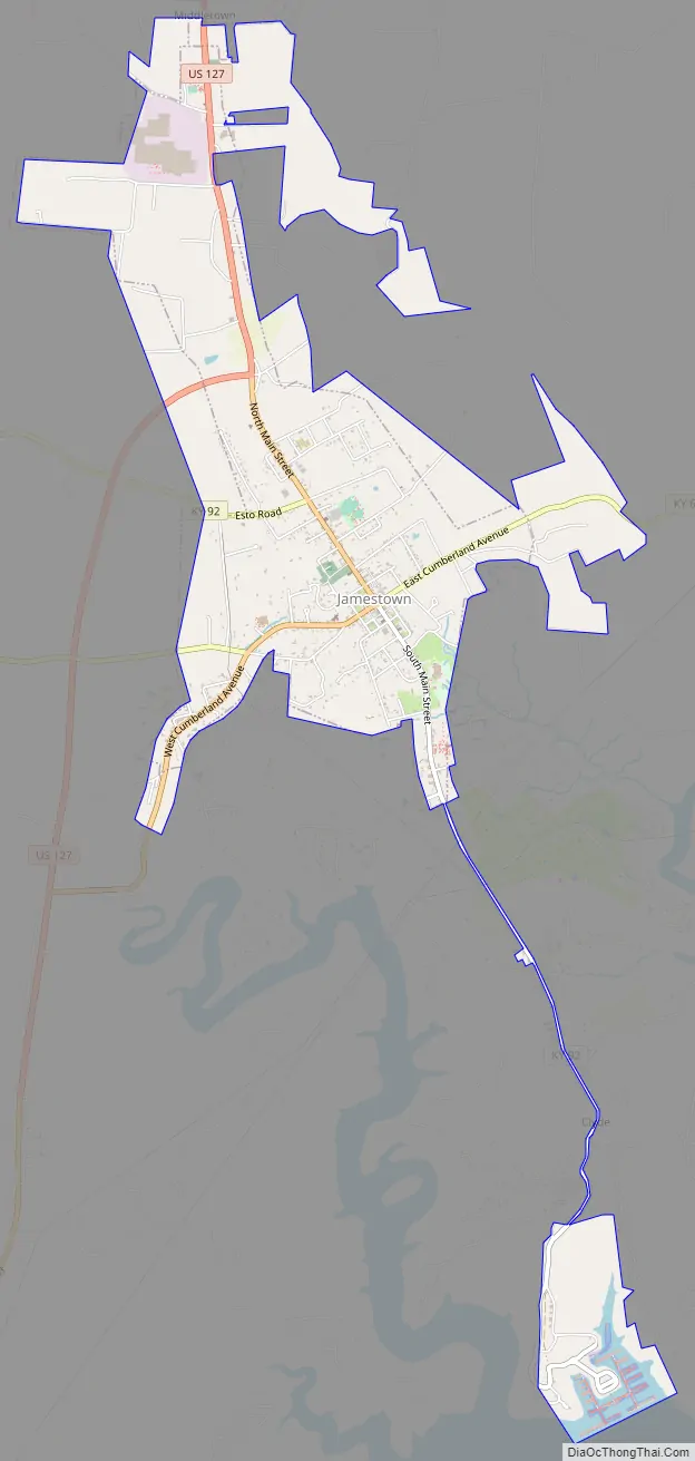
Jamestown Road Map
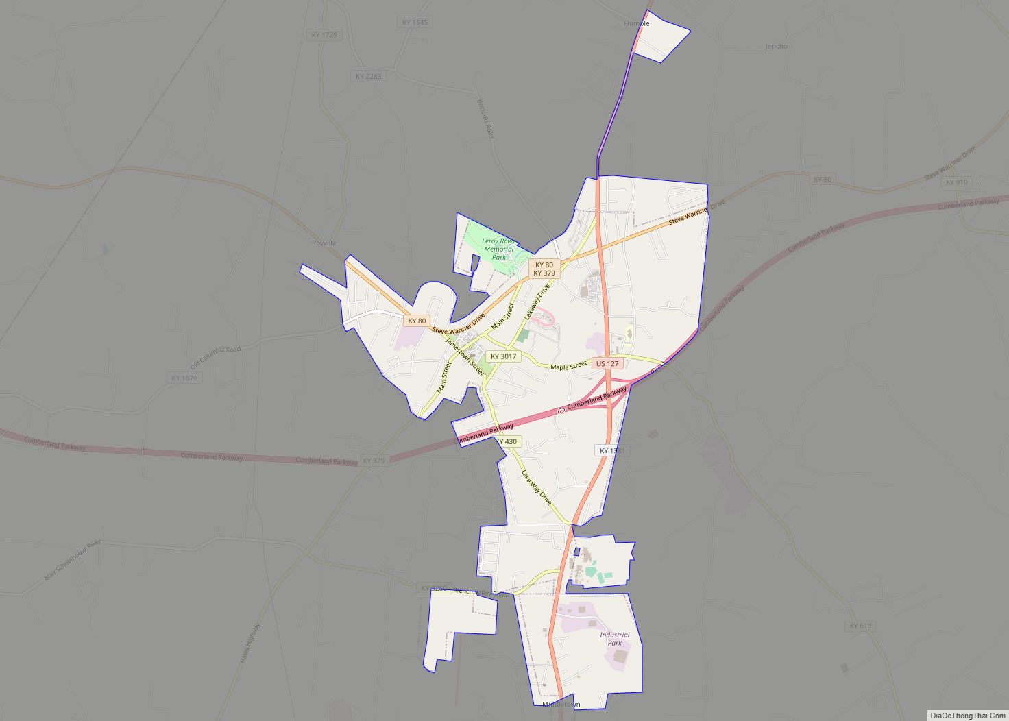
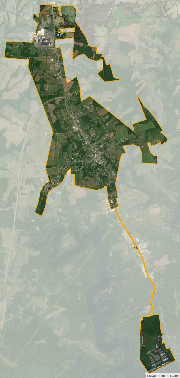
Jamestown city Satellite Map
Geography
Jamestown is located at 36°59′5″N 85°4′1″W / 36.98472°N 85.06694°W / 36.98472; -85.06694 (36.984730, -85.066840). According to the United States Census Bureau, the city has a total area of 2.2 square miles (5.7 km), all land.
See also
Map of Kentucky State and its subdivision:- Adair
- Allen
- Anderson
- Ballard
- Barren
- Bath
- Bell
- Boone
- Bourbon
- Boyd
- Boyle
- Bracken
- Breathitt
- Breckinridge
- Bullitt
- Butler
- Caldwell
- Calloway
- Campbell
- Carlisle
- Carroll
- Carter
- Casey
- Christian
- Clark
- Clay
- Clinton
- Crittenden
- Cumberland
- Daviess
- Edmonson
- Elliott
- Estill
- Fayette
- Fleming
- Floyd
- Franklin
- Fulton
- Gallatin
- Garrard
- Grant
- Graves
- Grayson
- Green
- Greenup
- Hancock
- Hardin
- Harlan
- Harrison
- Hart
- Henderson
- Henry
- Hickman
- Hopkins
- Jackson
- Jefferson
- Jessamine
- Johnson
- Kenton
- Knott
- Knox
- Larue
- Laurel
- Lawrence
- Lee
- Leslie
- Letcher
- Lewis
- Lincoln
- Livingston
- Logan
- Lyon
- Madison
- Magoffin
- Marion
- Marshall
- Martin
- Mason
- McCracken
- McCreary
- McLean
- Meade
- Menifee
- Mercer
- Metcalfe
- Monroe
- Montgomery
- Morgan
- Muhlenberg
- Nelson
- Nicholas
- Ohio
- Oldham
- Owen
- Owsley
- Pendleton
- Perry
- Pike
- Powell
- Pulaski
- Robertson
- Rockcastle
- Rowan
- Russell
- Scott
- Shelby
- Simpson
- Spencer
- Taylor
- Todd
- Trigg
- Trimble
- Union
- Warren
- Washington
- Wayne
- Webster
- Whitley
- Wolfe
- Woodford
- Alabama
- Alaska
- Arizona
- Arkansas
- California
- Colorado
- Connecticut
- Delaware
- District of Columbia
- Florida
- Georgia
- Hawaii
- Idaho
- Illinois
- Indiana
- Iowa
- Kansas
- Kentucky
- Louisiana
- Maine
- Maryland
- Massachusetts
- Michigan
- Minnesota
- Mississippi
- Missouri
- Montana
- Nebraska
- Nevada
- New Hampshire
- New Jersey
- New Mexico
- New York
- North Carolina
- North Dakota
- Ohio
- Oklahoma
- Oregon
- Pennsylvania
- Rhode Island
- South Carolina
- South Dakota
- Tennessee
- Texas
- Utah
- Vermont
- Virginia
- Washington
- West Virginia
- Wisconsin
- Wyoming