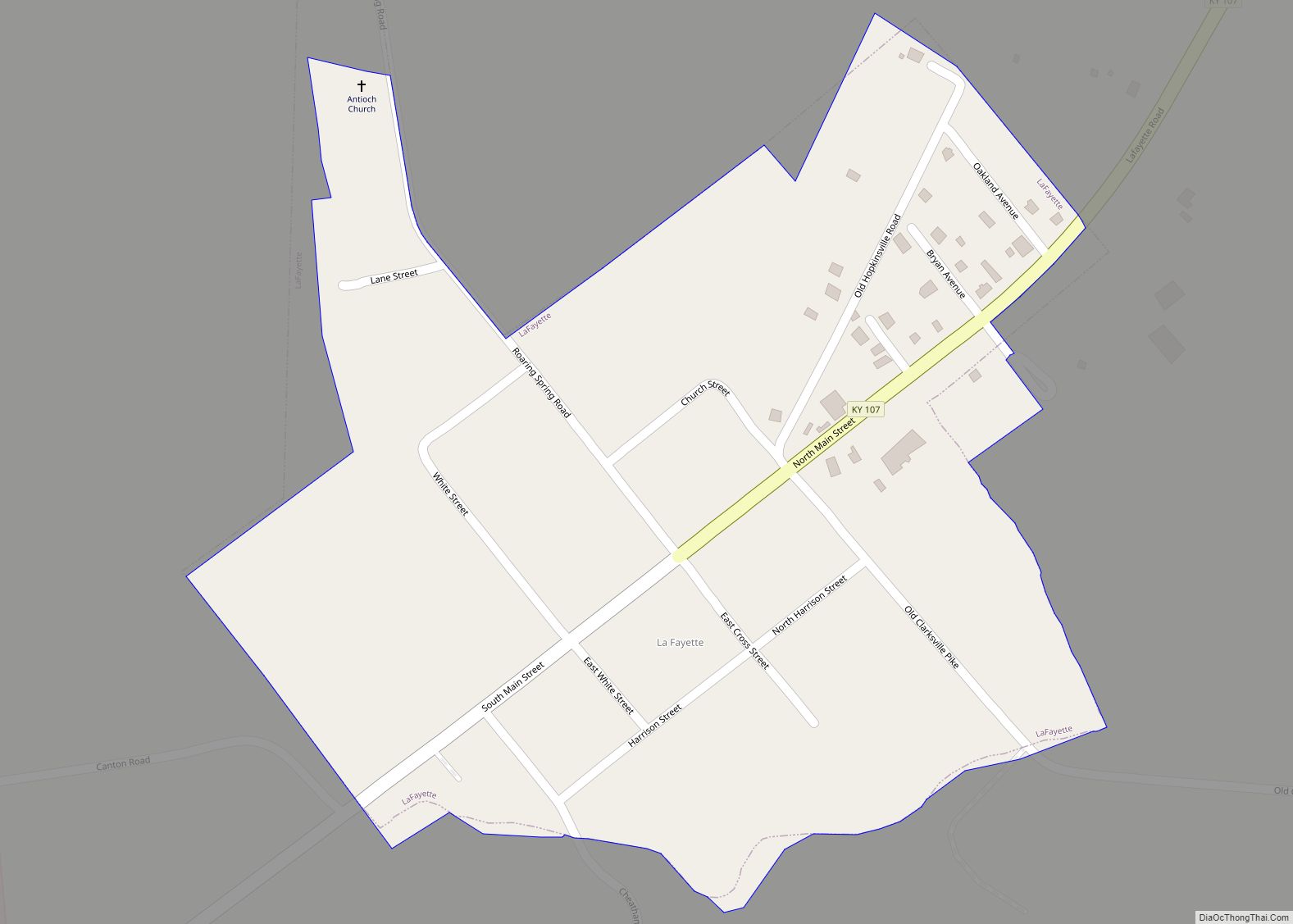
LaFayette, also informally written as La Fayette and Lafayette, is a home rule-class city in Christian County, Kentucky, in the United States. The population was 165 at the 2010 U.S. census. LaFayette is part of the Clarksville, Tennessee metropolitan area.
| Name: | LaFayette city |
|---|---|
| LSAD Code: | 25 |
| LSAD Description: | city (suffix) |
| State: | Kentucky |
| County: | Christian County |
| Incorporated: | 1836 |
| Elevation: | 597 ft (182 m) |
| Total Area: | 0.26 sq mi (0.67 km²) |
| Land Area: | 0.26 sq mi (0.67 km²) |
| Water Area: | 0.00 sq mi (0.00 km²) |
| Total Population: | 177 |
| Population Density: | 686.05/sq mi (264.97/km²) |
| ZIP code: | 42254 |
| Area code: | 270 & 364 |
| FIPS code: | 2143444 |
| GNISfeature ID: | 0508413 |
Online Interactive Map
Click on ![]() to view map in "full screen" mode.
to view map in "full screen" mode.
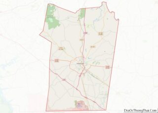
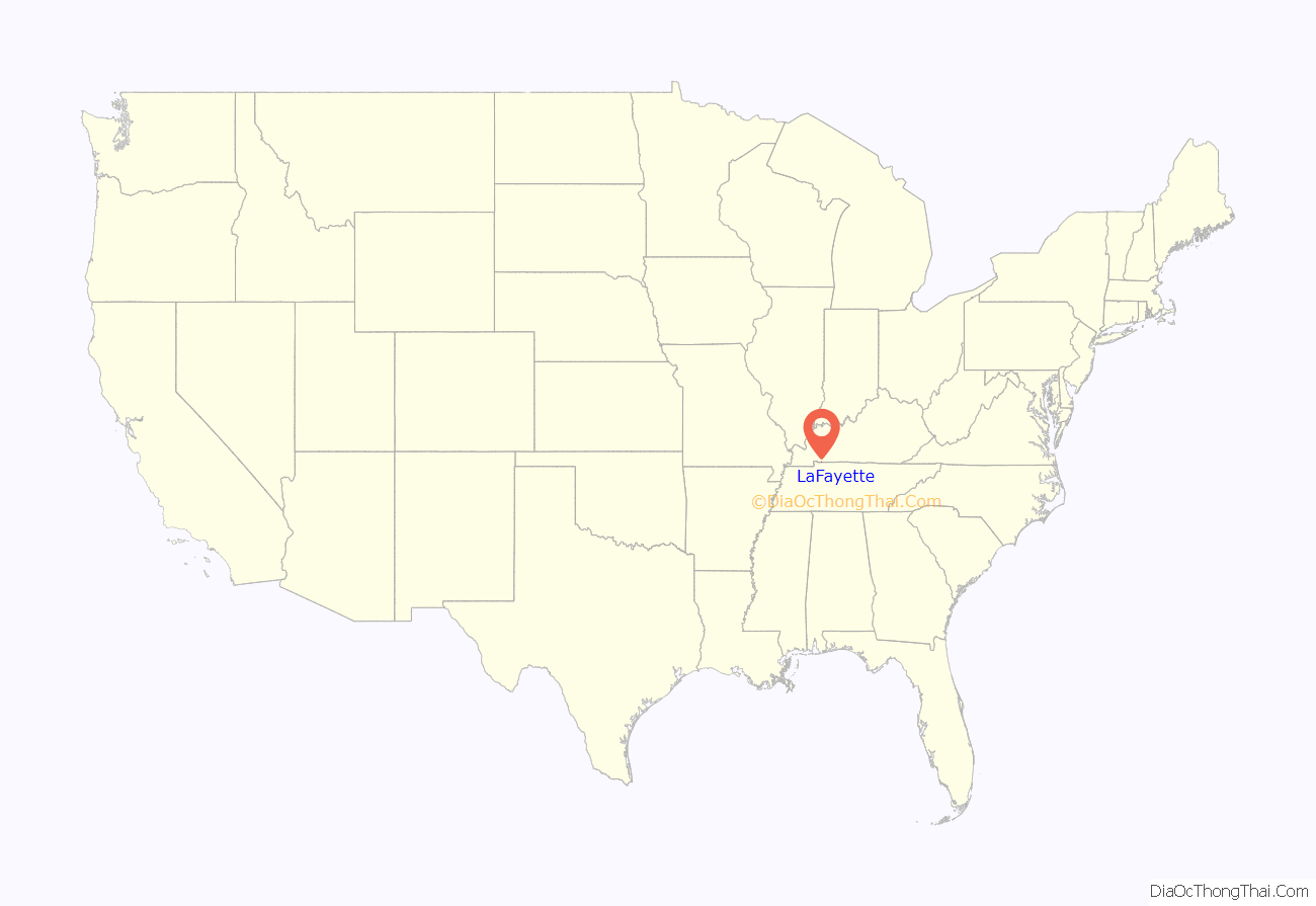
LaFayette location map. Where is LaFayette city?
History
LaFayette was first settled in the late 1810s, and by 1820 was home to a dry goods and grocery store. It was formally incorporated by the state assembly in 1836. The city was named in honor of Revolutionary War hero the Marquis de Lafayette.
LaFayette is home to an antebellum church, the Lafayette Methodist Church. Built in 1852 by Dutch-born builder Daniel Umbenhour, the church is now listed on the National Register of Historic Places.
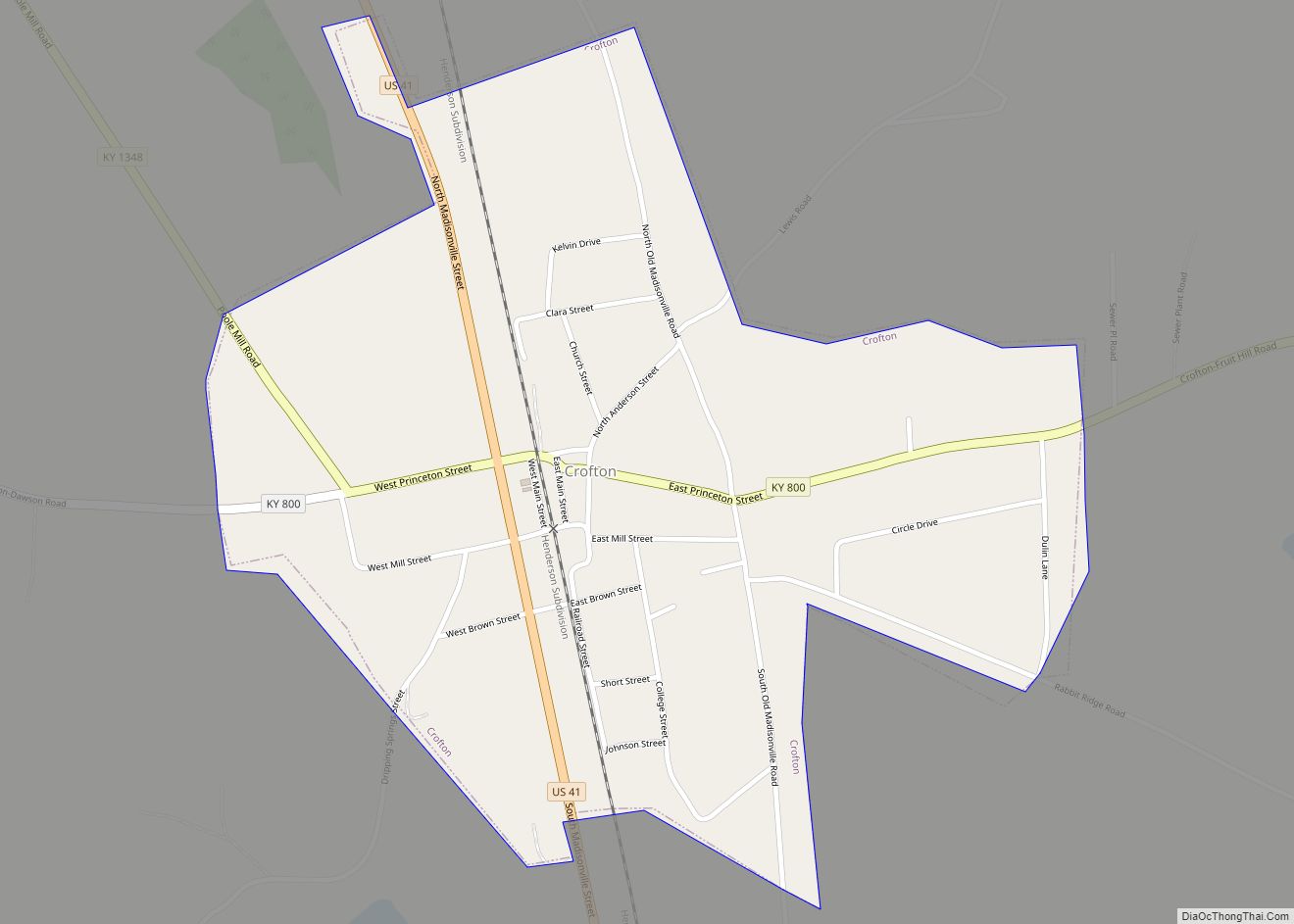
LaFayette Road Map
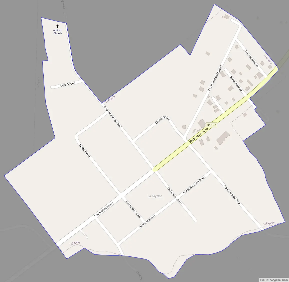
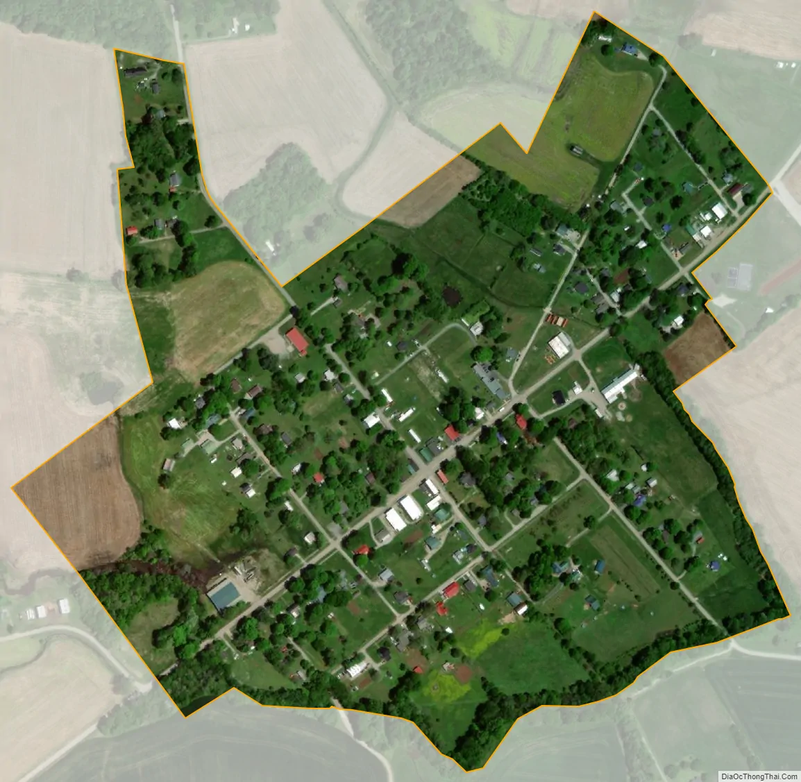
LaFayette city Satellite Map
Geography
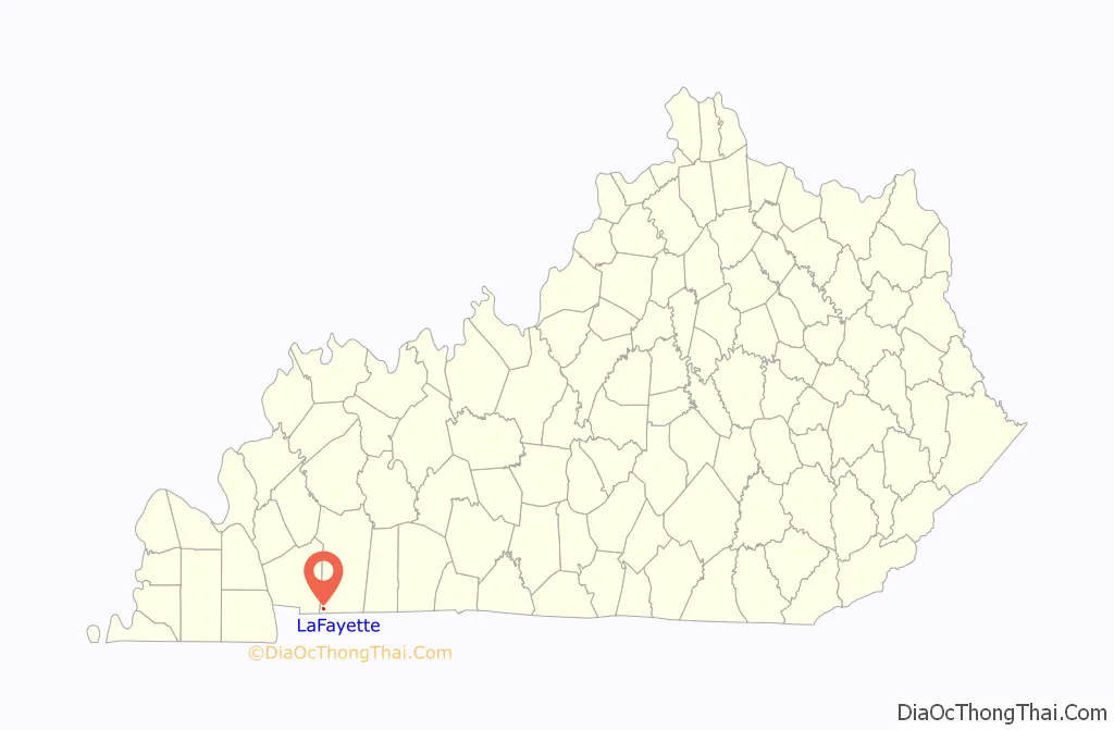
LaFayette is located along Kentucky Route 107 in the southwestern corner of Christian County, 18 miles (29 km) southwest of Hopkinsville, the Christian County seat, and 2 miles (3 km) north of the Tennessee state line. The town lies just north of the US Army’s Fort Campbell.
According to the United States Census Bureau, the town has a total area of 0.2 square miles (0.6 km), all land.
See also
Map of Kentucky State and its subdivision:- Adair
- Allen
- Anderson
- Ballard
- Barren
- Bath
- Bell
- Boone
- Bourbon
- Boyd
- Boyle
- Bracken
- Breathitt
- Breckinridge
- Bullitt
- Butler
- Caldwell
- Calloway
- Campbell
- Carlisle
- Carroll
- Carter
- Casey
- Christian
- Clark
- Clay
- Clinton
- Crittenden
- Cumberland
- Daviess
- Edmonson
- Elliott
- Estill
- Fayette
- Fleming
- Floyd
- Franklin
- Fulton
- Gallatin
- Garrard
- Grant
- Graves
- Grayson
- Green
- Greenup
- Hancock
- Hardin
- Harlan
- Harrison
- Hart
- Henderson
- Henry
- Hickman
- Hopkins
- Jackson
- Jefferson
- Jessamine
- Johnson
- Kenton
- Knott
- Knox
- Larue
- Laurel
- Lawrence
- Lee
- Leslie
- Letcher
- Lewis
- Lincoln
- Livingston
- Logan
- Lyon
- Madison
- Magoffin
- Marion
- Marshall
- Martin
- Mason
- McCracken
- McCreary
- McLean
- Meade
- Menifee
- Mercer
- Metcalfe
- Monroe
- Montgomery
- Morgan
- Muhlenberg
- Nelson
- Nicholas
- Ohio
- Oldham
- Owen
- Owsley
- Pendleton
- Perry
- Pike
- Powell
- Pulaski
- Robertson
- Rockcastle
- Rowan
- Russell
- Scott
- Shelby
- Simpson
- Spencer
- Taylor
- Todd
- Trigg
- Trimble
- Union
- Warren
- Washington
- Wayne
- Webster
- Whitley
- Wolfe
- Woodford
- Alabama
- Alaska
- Arizona
- Arkansas
- California
- Colorado
- Connecticut
- Delaware
- District of Columbia
- Florida
- Georgia
- Hawaii
- Idaho
- Illinois
- Indiana
- Iowa
- Kansas
- Kentucky
- Louisiana
- Maine
- Maryland
- Massachusetts
- Michigan
- Minnesota
- Mississippi
- Missouri
- Montana
- Nebraska
- Nevada
- New Hampshire
- New Jersey
- New Mexico
- New York
- North Carolina
- North Dakota
- Ohio
- Oklahoma
- Oregon
- Pennsylvania
- Rhode Island
- South Carolina
- South Dakota
- Tennessee
- Texas
- Utah
- Vermont
- Virginia
- Washington
- West Virginia
- Wisconsin
- Wyoming