Lyndon is a home rule-class city in Jefferson County, Kentucky, United States. The population was 11,002 at the 2010 census, up from 9,369 at the 2000 census.
Incorporated on May 10, 1965, Lyndon became part of the new Louisville Metro government in 2003. It remains an independent city with its own mayor and emergency services and is not counted in Louisville’s population although its citizens can vote for the mayor of Louisville and Metro Council members.
| Name: | Lyndon city |
|---|---|
| LSAD Code: | 25 |
| LSAD Description: | city (suffix) |
| State: | Kentucky |
| County: | Jefferson County |
| Elevation: | 581 ft (177 m) |
| Total Area: | 3.63 sq mi (9.41 km²) |
| Land Area: | 3.60 sq mi (9.33 km²) |
| Water Area: | 0.03 sq mi (0.08 km²) |
| Total Population: | 11,008 |
| Population Density: | 3,056.93/sq mi (1,180.28/km²) |
| ZIP code: | 40200-40299 |
| Area code: | 502 |
| FIPS code: | 2148558 |
| GNISfeature ID: | 0497367 |
| Website: | cityoflyndon.org |
Online Interactive Map
Click on ![]() to view map in "full screen" mode.
to view map in "full screen" mode.
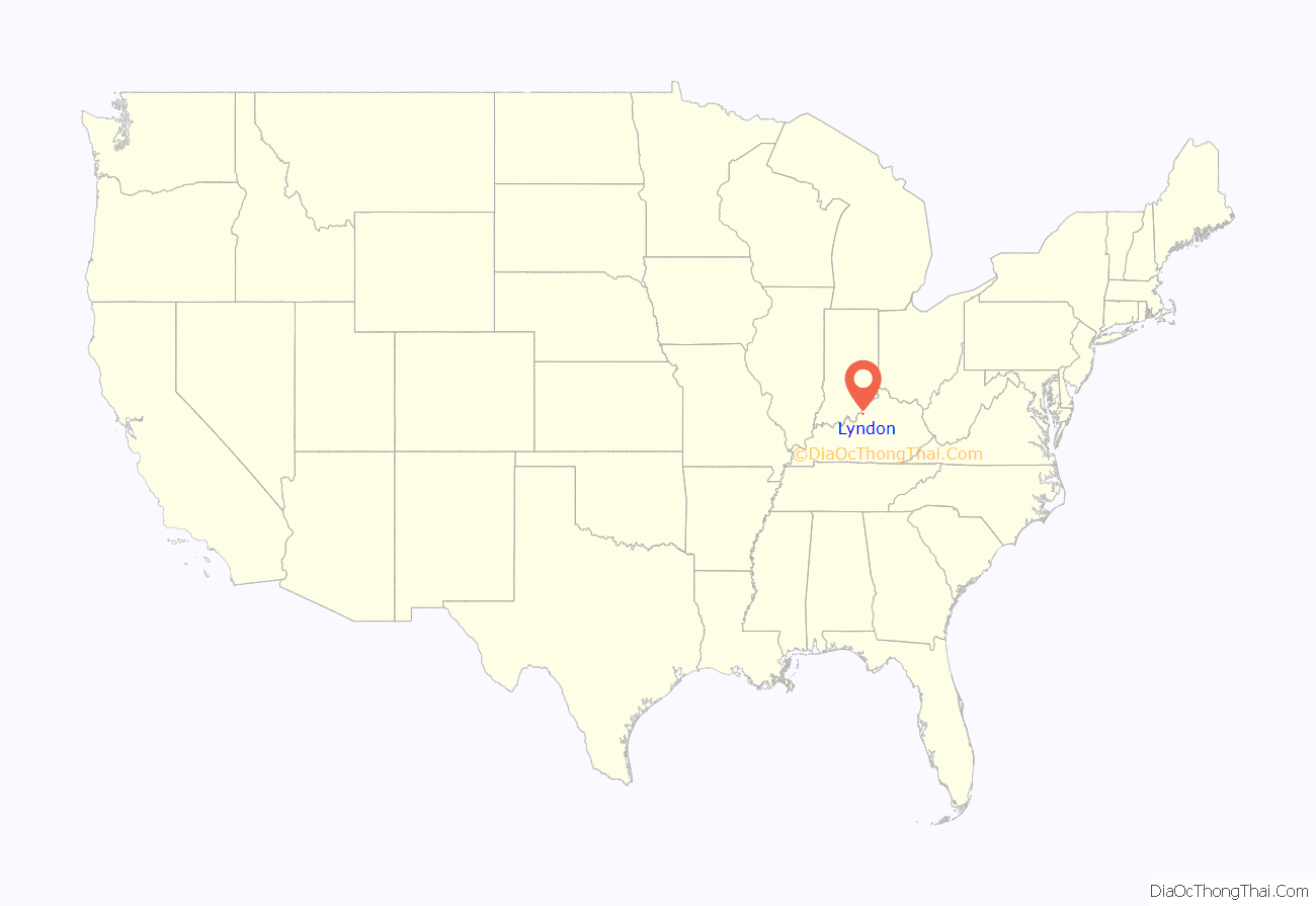
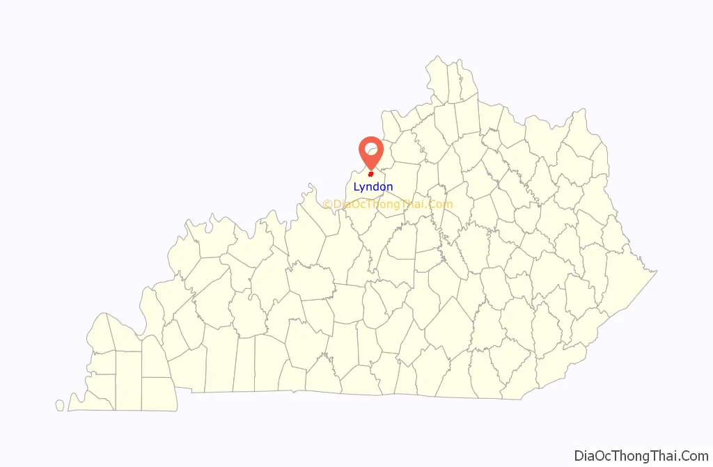
Lyndon location map. Where is Lyndon city?
History
The area is the home of Oxmoor Farm, the residence of Alexander Scott Bullitt, one of the drafters of Kentucky’s first constitution.
At some point after 1865, the L&N offered local landowner Alvin Wood connection to their network provided that he pay the costs of constructing the station and donate the land for the spur. He did so, and in 1871 the Lyndon depot began service. The town’s etymology remains uncertain, although some connect it to Linn’s Station and others to explorer William Linn.
The Bellevoir-Ormsby Village was built in 1867 and Kentucky Military Institute moved to the town in 1896. Central State Hospital is also near Lyndon.
In 1963, Lyndon’s post office was subsumed by the Louisville system. Lyndon was incorporated soon after in order to avoid annexation by the neighboring city of St. Matthews.
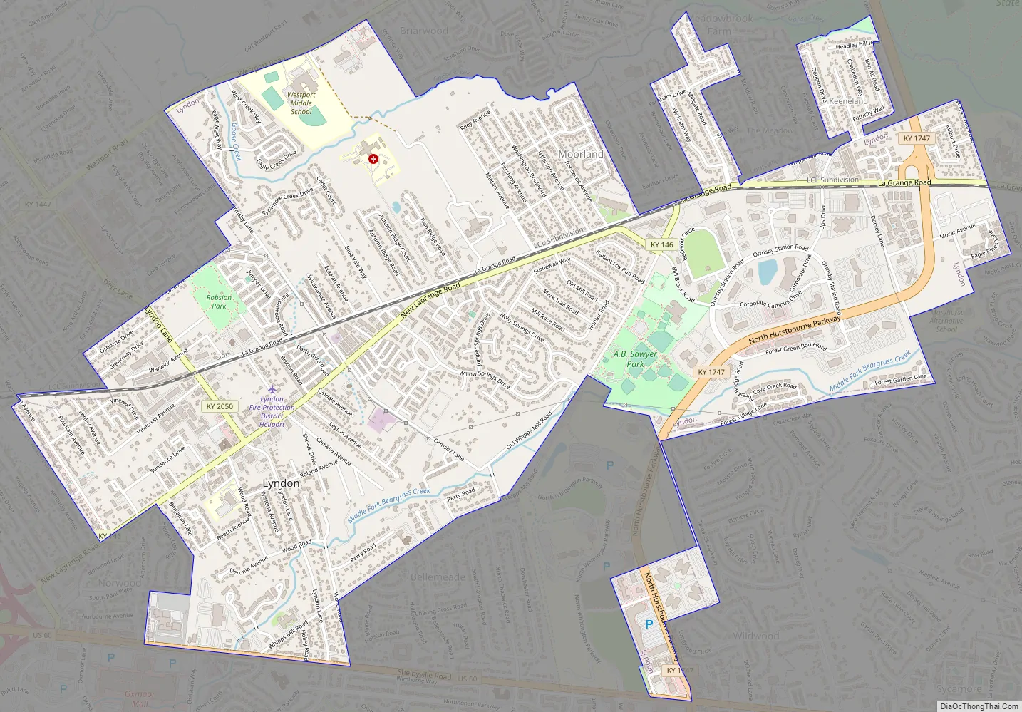
Lyndon Road Map
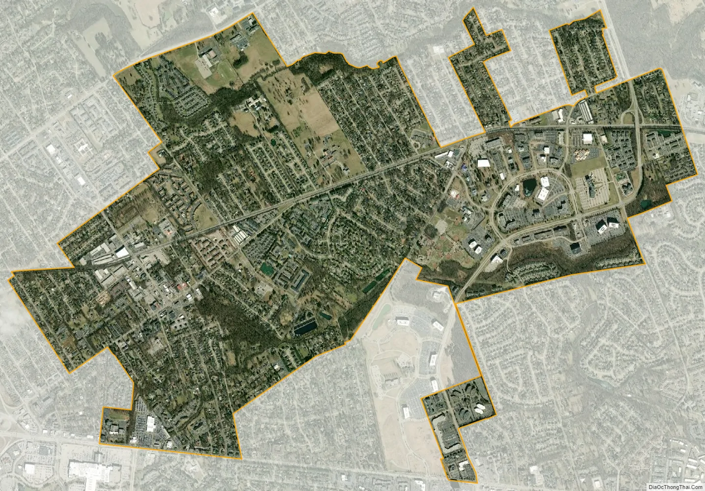
Lyndon city Satellite Map
Geography
Lyndon is located in northeastern Jefferson County at 38°15′52″N 85°35′28″W / 38.26444°N 85.59111°W / 38.26444; -85.59111 (38.264521, -85.591223). It is 9 miles (14 km) east of downtown Louisville. Nearby Louisville suburbs include Graymoor-Devondale to the northwest, St. Matthews to the southwest, Hurstbourne to the south, and Anchorage to the east. U.S. Route 60 (Shelbyville Road) forms part of the southern boundary of Lyndon.
According to the United States Census Bureau, the city has a total area of 3.6 square miles (9.4 km), of which 0.03 square miles (0.09 km), or 0.91%, are water.
See also
Map of Kentucky State and its subdivision:- Adair
- Allen
- Anderson
- Ballard
- Barren
- Bath
- Bell
- Boone
- Bourbon
- Boyd
- Boyle
- Bracken
- Breathitt
- Breckinridge
- Bullitt
- Butler
- Caldwell
- Calloway
- Campbell
- Carlisle
- Carroll
- Carter
- Casey
- Christian
- Clark
- Clay
- Clinton
- Crittenden
- Cumberland
- Daviess
- Edmonson
- Elliott
- Estill
- Fayette
- Fleming
- Floyd
- Franklin
- Fulton
- Gallatin
- Garrard
- Grant
- Graves
- Grayson
- Green
- Greenup
- Hancock
- Hardin
- Harlan
- Harrison
- Hart
- Henderson
- Henry
- Hickman
- Hopkins
- Jackson
- Jefferson
- Jessamine
- Johnson
- Kenton
- Knott
- Knox
- Larue
- Laurel
- Lawrence
- Lee
- Leslie
- Letcher
- Lewis
- Lincoln
- Livingston
- Logan
- Lyon
- Madison
- Magoffin
- Marion
- Marshall
- Martin
- Mason
- McCracken
- McCreary
- McLean
- Meade
- Menifee
- Mercer
- Metcalfe
- Monroe
- Montgomery
- Morgan
- Muhlenberg
- Nelson
- Nicholas
- Ohio
- Oldham
- Owen
- Owsley
- Pendleton
- Perry
- Pike
- Powell
- Pulaski
- Robertson
- Rockcastle
- Rowan
- Russell
- Scott
- Shelby
- Simpson
- Spencer
- Taylor
- Todd
- Trigg
- Trimble
- Union
- Warren
- Washington
- Wayne
- Webster
- Whitley
- Wolfe
- Woodford
- Alabama
- Alaska
- Arizona
- Arkansas
- California
- Colorado
- Connecticut
- Delaware
- District of Columbia
- Florida
- Georgia
- Hawaii
- Idaho
- Illinois
- Indiana
- Iowa
- Kansas
- Kentucky
- Louisiana
- Maine
- Maryland
- Massachusetts
- Michigan
- Minnesota
- Mississippi
- Missouri
- Montana
- Nebraska
- Nevada
- New Hampshire
- New Jersey
- New Mexico
- New York
- North Carolina
- North Dakota
- Ohio
- Oklahoma
- Oregon
- Pennsylvania
- Rhode Island
- South Carolina
- South Dakota
- Tennessee
- Texas
- Utah
- Vermont
- Virginia
- Washington
- West Virginia
- Wisconsin
- Wyoming


