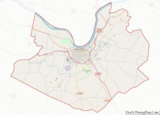
Masonville is an unincorporated community and census-designated place (CDP) in Daviess County, Kentucky, United States. The population was 1,014 at the 2010 census. It is included in the Owensboro Metropolitan Statistical Area.
| Name: | Masonville CDP |
|---|---|
| LSAD Code: | 57 |
| LSAD Description: | CDP (suffix) |
| State: | Kentucky |
| County: | Daviess County |
| Elevation: | 423 ft (129 m) |
| Total Area: | 10.43 sq mi (27.00 km²) |
| Land Area: | 10.36 sq mi (26.82 km²) |
| Water Area: | 0.07 sq mi (0.18 km²) |
| Total Population: | 2,129 |
| Population Density: | 205.56/sq mi (79.37/km²) |
| Area code: | 270 & 364 |
| FIPS code: | 2150520 |
| GNISfeature ID: | 0497667 |
Online Interactive Map
Click on ![]() to view map in "full screen" mode.
to view map in "full screen" mode.
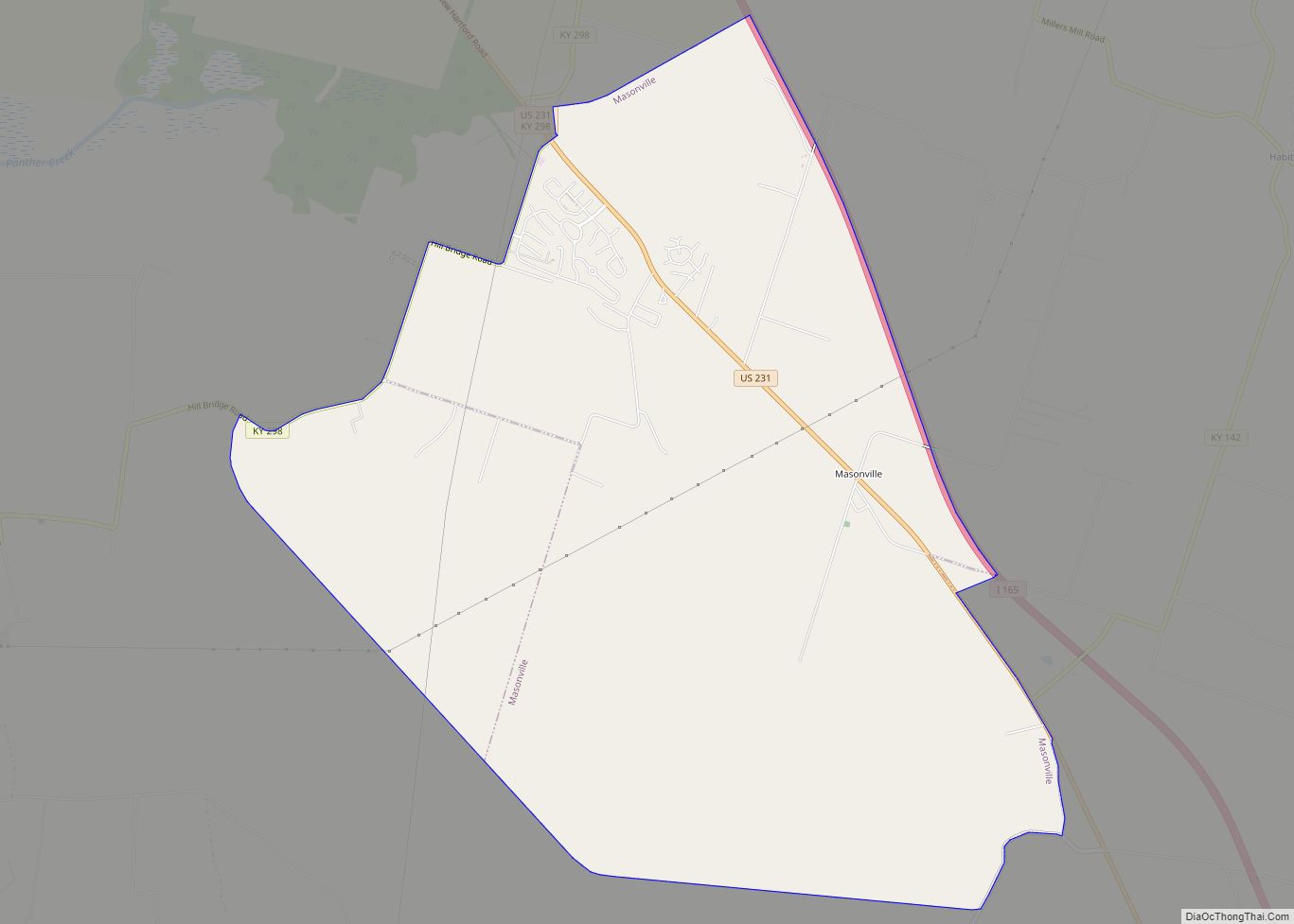
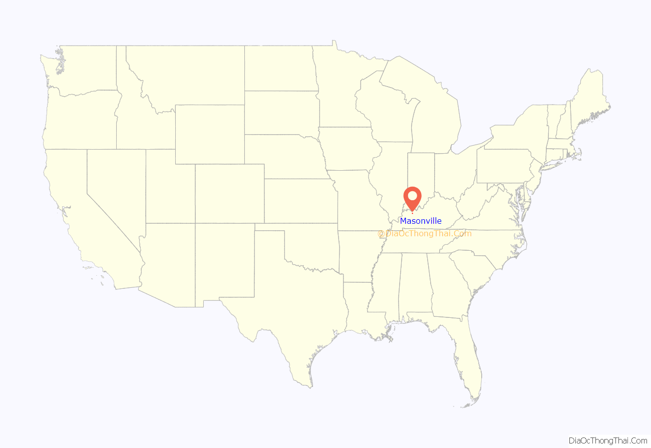
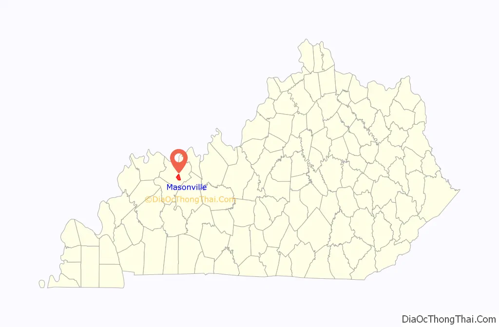
Masonville location map. Where is Masonville CDP?
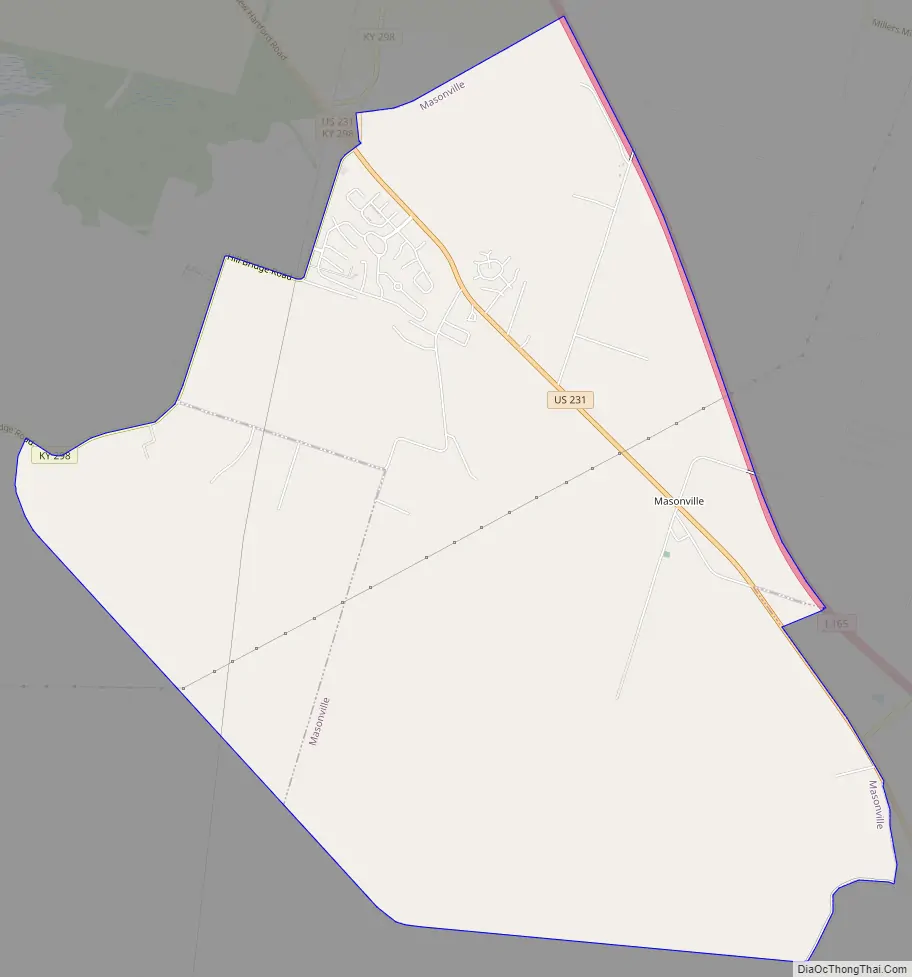
Masonville Road Map
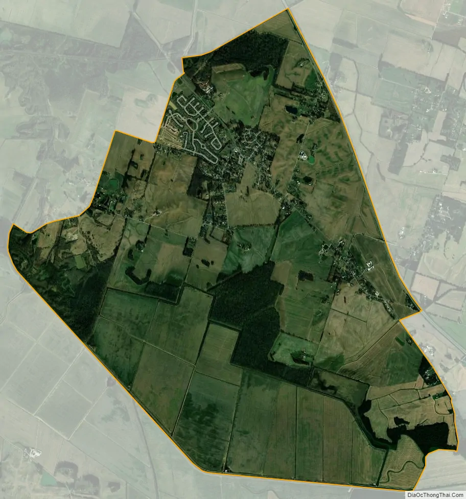
Masonville city Satellite Map
Geography
Masonville is located in south-central Daviess County at 37°41′1″N 87°2′12″W / 37.68361°N 87.03667°W / 37.68361; -87.03667 (37.683612, -87.036563). U.S. Route 231 passes through the center of the CDP. The William H. Natcher Parkway forms the eastern border of the CDP, but there is no exit for the community. Owensboro, the county seat, is 8 miles (13 km) to the northwest, and Hartford is 17 miles (27 km) to the southeast.
According to the United States Census Bureau, the Masonville CDP has a total area of 10.4 square miles (27.0 km), of which 10.3 square miles (26.8 km) is land and 0.1 square miles (0.2 km), or 0.66%, is water.
See also
Map of Kentucky State and its subdivision:- Adair
- Allen
- Anderson
- Ballard
- Barren
- Bath
- Bell
- Boone
- Bourbon
- Boyd
- Boyle
- Bracken
- Breathitt
- Breckinridge
- Bullitt
- Butler
- Caldwell
- Calloway
- Campbell
- Carlisle
- Carroll
- Carter
- Casey
- Christian
- Clark
- Clay
- Clinton
- Crittenden
- Cumberland
- Daviess
- Edmonson
- Elliott
- Estill
- Fayette
- Fleming
- Floyd
- Franklin
- Fulton
- Gallatin
- Garrard
- Grant
- Graves
- Grayson
- Green
- Greenup
- Hancock
- Hardin
- Harlan
- Harrison
- Hart
- Henderson
- Henry
- Hickman
- Hopkins
- Jackson
- Jefferson
- Jessamine
- Johnson
- Kenton
- Knott
- Knox
- Larue
- Laurel
- Lawrence
- Lee
- Leslie
- Letcher
- Lewis
- Lincoln
- Livingston
- Logan
- Lyon
- Madison
- Magoffin
- Marion
- Marshall
- Martin
- Mason
- McCracken
- McCreary
- McLean
- Meade
- Menifee
- Mercer
- Metcalfe
- Monroe
- Montgomery
- Morgan
- Muhlenberg
- Nelson
- Nicholas
- Ohio
- Oldham
- Owen
- Owsley
- Pendleton
- Perry
- Pike
- Powell
- Pulaski
- Robertson
- Rockcastle
- Rowan
- Russell
- Scott
- Shelby
- Simpson
- Spencer
- Taylor
- Todd
- Trigg
- Trimble
- Union
- Warren
- Washington
- Wayne
- Webster
- Whitley
- Wolfe
- Woodford
- Alabama
- Alaska
- Arizona
- Arkansas
- California
- Colorado
- Connecticut
- Delaware
- District of Columbia
- Florida
- Georgia
- Hawaii
- Idaho
- Illinois
- Indiana
- Iowa
- Kansas
- Kentucky
- Louisiana
- Maine
- Maryland
- Massachusetts
- Michigan
- Minnesota
- Mississippi
- Missouri
- Montana
- Nebraska
- Nevada
- New Hampshire
- New Jersey
- New Mexico
- New York
- North Carolina
- North Dakota
- Ohio
- Oklahoma
- Oregon
- Pennsylvania
- Rhode Island
- South Carolina
- South Dakota
- Tennessee
- Texas
- Utah
- Vermont
- Virginia
- Washington
- West Virginia
- Wisconsin
- Wyoming