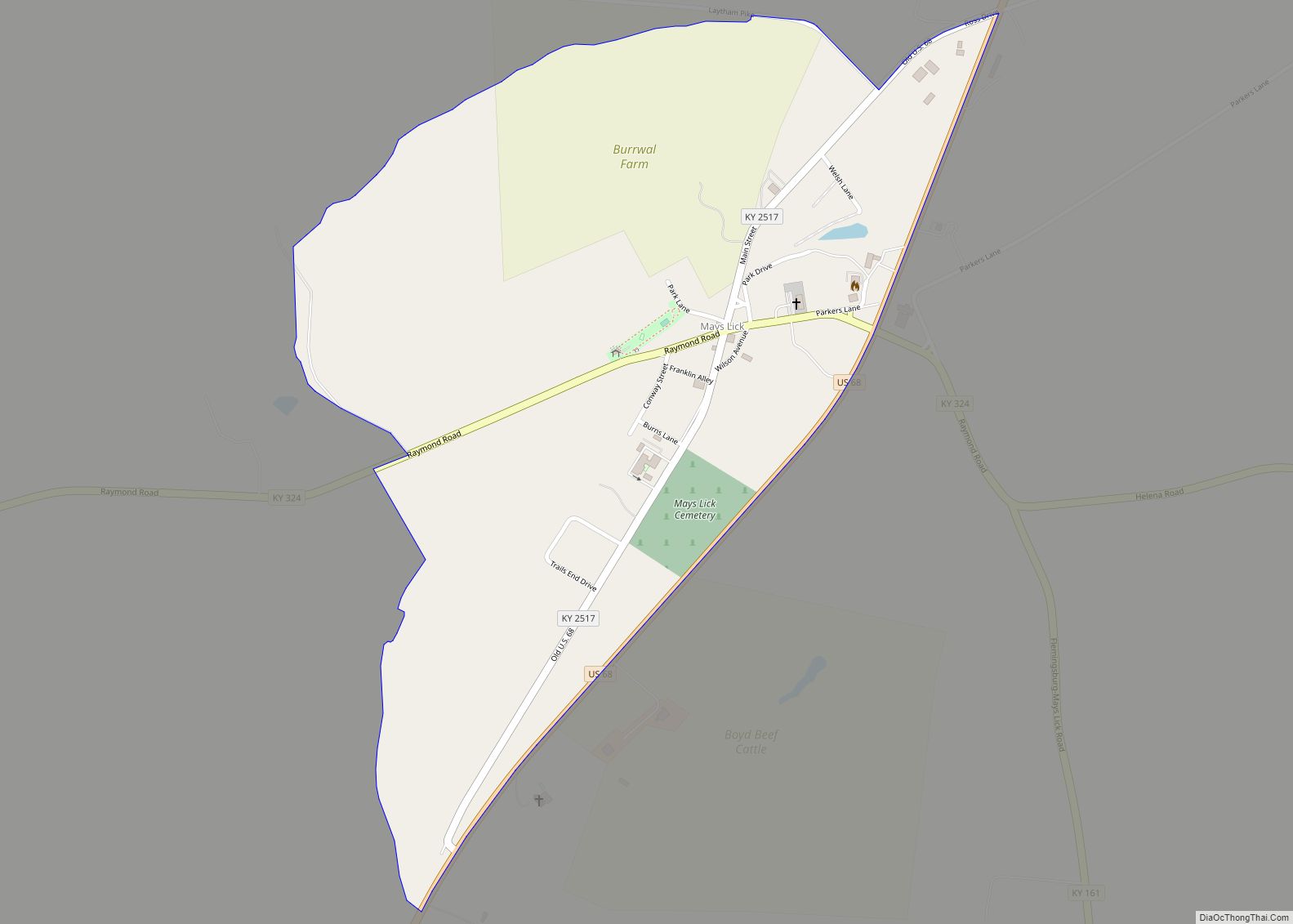
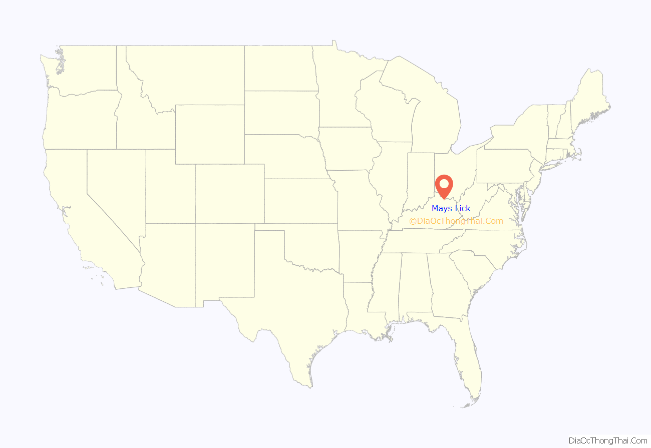
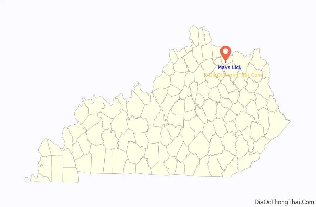
Mays Lick (a.k.a. Mayslick, originally known as May’s Lick) is a census-designated place and unincorporated community in Mason County, Kentucky, United States. As of the 2020 census, it had a population of 252.
| Name: | Mays Lick CDP |
|---|---|
| LSAD Code: | 57 |
| LSAD Description: | CDP (suffix) |
| State: | Kentucky |
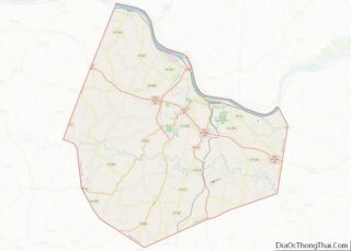
| County: | Mason County |
| Elevation: | 883 ft (269 m) |
| Total Area: | 0.64 sq mi (1.66 km²) |
| Land Area: | 0.64 sq mi (1.65 km²) |
| Water Area: | 0.00 sq mi (0.01 km²) |
| Total Population: | 252 |
| Population Density: | 394.98/sq mi (152.42/km²) |
| ZIP code: | 41055 |
| Area code: | 606 |
| FIPS code: | 2151006 |
| GNISfeature ID: | 497750 |
Online Interactive Map
Click on ![]() to view map in "full screen" mode.
to view map in "full screen" mode.
Mays Lick location map. Where is Mays Lick CDP?
History
May’s Lick was founded in 1788 by six families from Scotch Plains, New Jersey:
- Abraham Drake (1751–1805)
- Cornelius Drake (1754–1833)
- Isaac Drake (1756–1832), father of (i) Daniel Drake (1785–1852), American physician and author, and (ii) Benjamin Drake (1795–1841), American historian, editor, and writer; Daniel Drake’s son, Charles Daniel Drake (1811–1892), was a United States Senator from Missouri and an anti-slavery politician
- David Morris (1746–1798) and wife, Mary née Shotwell (1748–1806)
- John Shotwell (1753–1826) and wife, Abigail née Shipman (1754–1835)
Abraham, Cornelius, and Isaac Drake were brothers, and John and Mary Shotwell were siblings.
The group purchased 1,400 acres (570 ha) of land from William May (for whom the community was named) near the salt lick in southern Mason County and began to build a community. The Mays Lick Post Office opened in 1800. Kentucky’s first consolidated school and first school transportation – consisting of a horse and wagon – was founded in Mays Lick.
When May’s Lick was founded (1788), Kentucky was part of the Commonwealth of Virginia. That same year, the Commonwealth of Virginia established Mason County. May’s Lick became the name of the town after first being called May’s Spring.
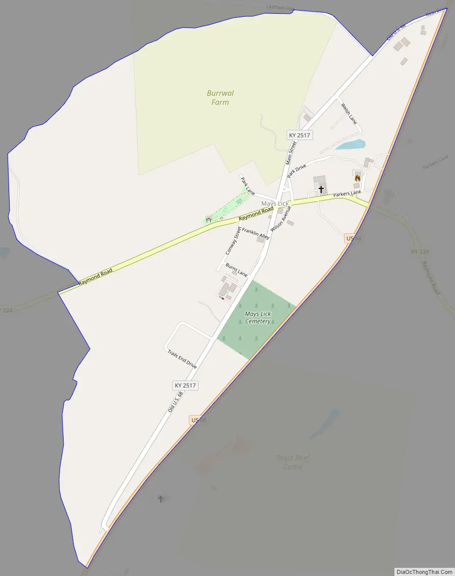
Mays Lick Road Map
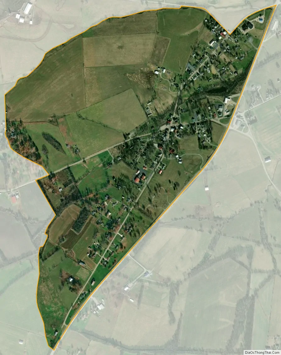
Mays Lick city Satellite Map
Geography
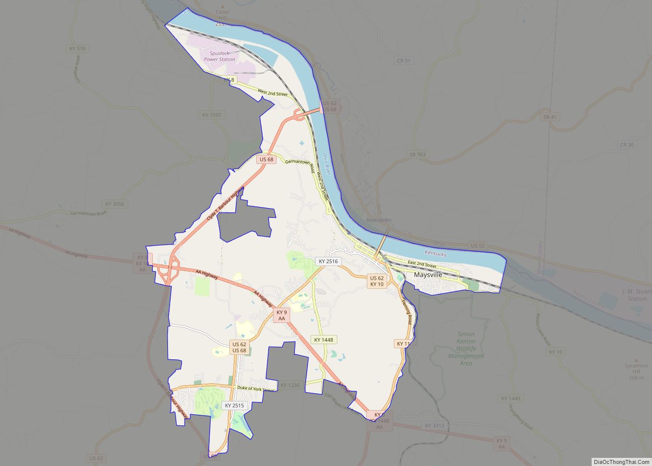
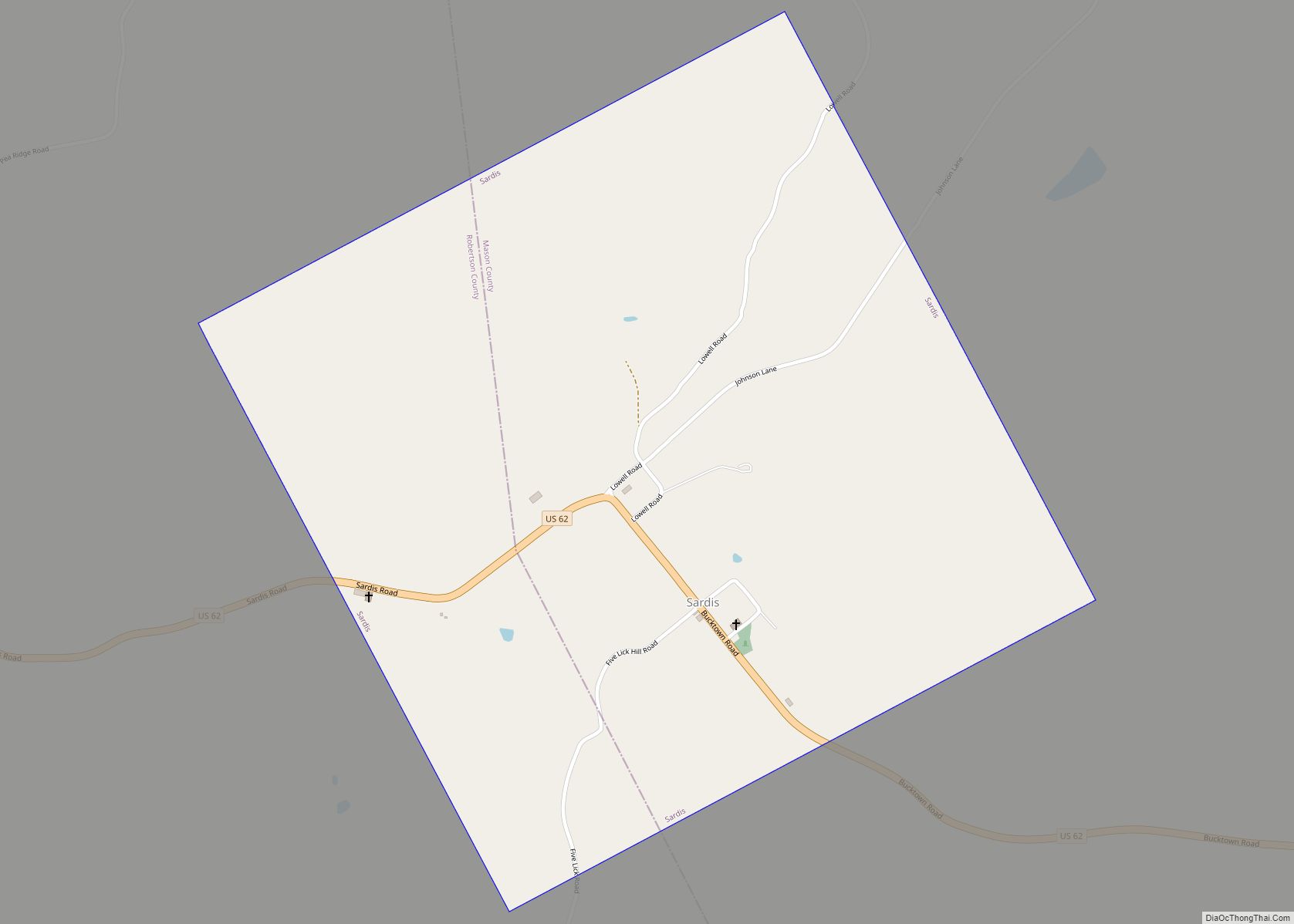
Mays Lick is in southern Mason County, 12 miles (19 km) southwest of downtown Maysville. U.S. Route 68 runs along the eastern edge of the community, leading north to Maysville and to Ohio, and southwest 54 miles (87 km) to Lexington.
According to the U.S. Census Bureau, the Mays Lick CDP has a total area of 0.64 square miles (1.66 km), of which 0.002 square miles (0.005 km), or 0.31%, are water. The community is drained by several small streams that flow north to Lees Creek, a north-flowing tributary of the North Fork of the Licking River, which joins the Ohio River at Covington.
See also
Map of Kentucky State and its subdivision:- Adair
- Allen
- Anderson
- Ballard
- Barren
- Bath
- Bell
- Boone
- Bourbon
- Boyd
- Boyle
- Bracken
- Breathitt
- Breckinridge
- Bullitt
- Butler
- Caldwell
- Calloway
- Campbell
- Carlisle
- Carroll
- Carter
- Casey
- Christian
- Clark
- Clay
- Clinton
- Crittenden
- Cumberland
- Daviess
- Edmonson
- Elliott
- Estill
- Fayette
- Fleming
- Floyd
- Franklin
- Fulton
- Gallatin
- Garrard
- Grant
- Graves
- Grayson
- Green
- Greenup
- Hancock
- Hardin
- Harlan
- Harrison
- Hart
- Henderson
- Henry
- Hickman
- Hopkins
- Jackson
- Jefferson
- Jessamine
- Johnson
- Kenton
- Knott
- Knox
- Larue
- Laurel
- Lawrence
- Lee
- Leslie
- Letcher
- Lewis
- Lincoln
- Livingston
- Logan
- Lyon
- Madison
- Magoffin
- Marion
- Marshall
- Martin
- Mason
- McCracken
- McCreary
- McLean
- Meade
- Menifee
- Mercer
- Metcalfe
- Monroe
- Montgomery
- Morgan
- Muhlenberg
- Nelson
- Nicholas
- Ohio
- Oldham
- Owen
- Owsley
- Pendleton
- Perry
- Pike
- Powell
- Pulaski
- Robertson
- Rockcastle
- Rowan
- Russell
- Scott
- Shelby
- Simpson
- Spencer
- Taylor
- Todd
- Trigg
- Trimble
- Union
- Warren
- Washington
- Wayne
- Webster
- Whitley
- Wolfe
- Woodford
- Alabama
- Alaska
- Arizona
- Arkansas
- California
- Colorado
- Connecticut
- Delaware
- District of Columbia
- Florida
- Georgia
- Hawaii
- Idaho
- Illinois
- Indiana
- Iowa
- Kansas
- Kentucky
- Louisiana
- Maine
- Maryland
- Massachusetts
- Michigan
- Minnesota
- Mississippi
- Missouri
- Montana
- Nebraska
- Nevada
- New Hampshire
- New Jersey
- New Mexico
- New York
- North Carolina
- North Dakota
- Ohio
- Oklahoma
- Oregon
- Pennsylvania
- Rhode Island
- South Carolina
- South Dakota
- Tennessee
- Texas
- Utah
- Vermont
- Virginia
- Washington
- West Virginia
- Wisconsin
- Wyoming