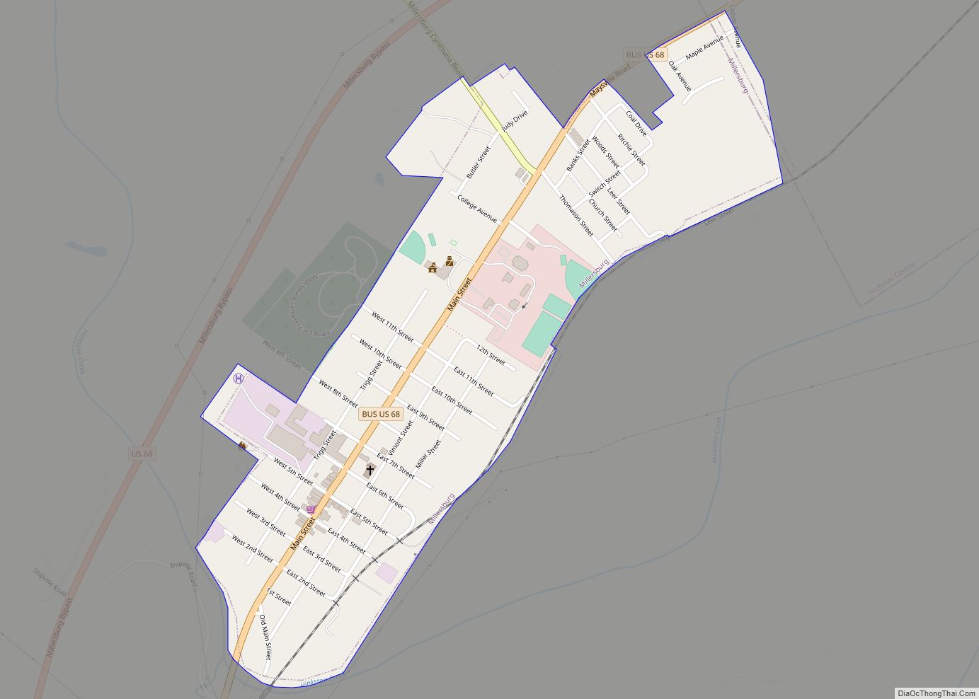
Millersburg is a home rule-class city in Bourbon County, Kentucky, United States. The population was 792 at the 2010 census. It is part of the Lexington–Fayette Metropolitan Statistical Area.
| Name: | Millersburg city |
|---|---|
| LSAD Code: | 25 |
| LSAD Description: | city (suffix) |
| State: | Kentucky |
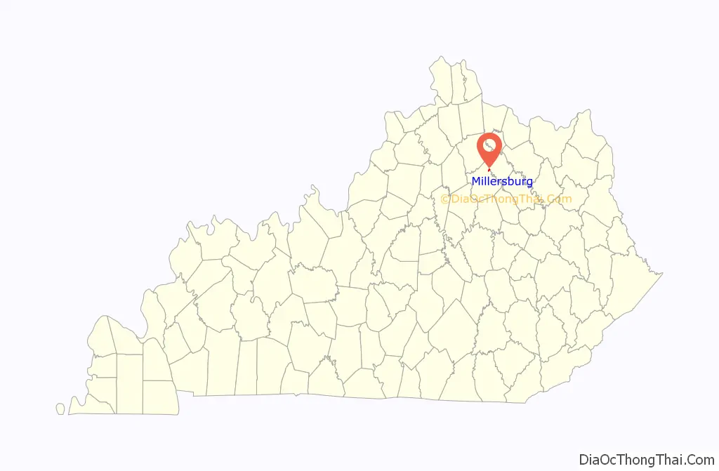
| County: | Bourbon County, Nicholas County |
| Incorporated: | 1874 |
| Elevation: | 833 ft (254 m) |
| Total Area: | 0.41 sq mi (1.06 km²) |
| Land Area: | 0.41 sq mi (1.06 km²) |
| Water Area: | 0.00 sq mi (0.00 km²) |
| Total Population: | 747 |
| Population Density: | 1,821.95/sq mi (703.99/km²) |
| ZIP code: | 40348 |
| Area code: | 859 |
| FIPS code: | 2152302 |
| GNISfeature ID: | 0498363 |
| Website: | www.millersburgky.com |
Online Interactive Map
Click on ![]() to view map in "full screen" mode.
to view map in "full screen" mode.
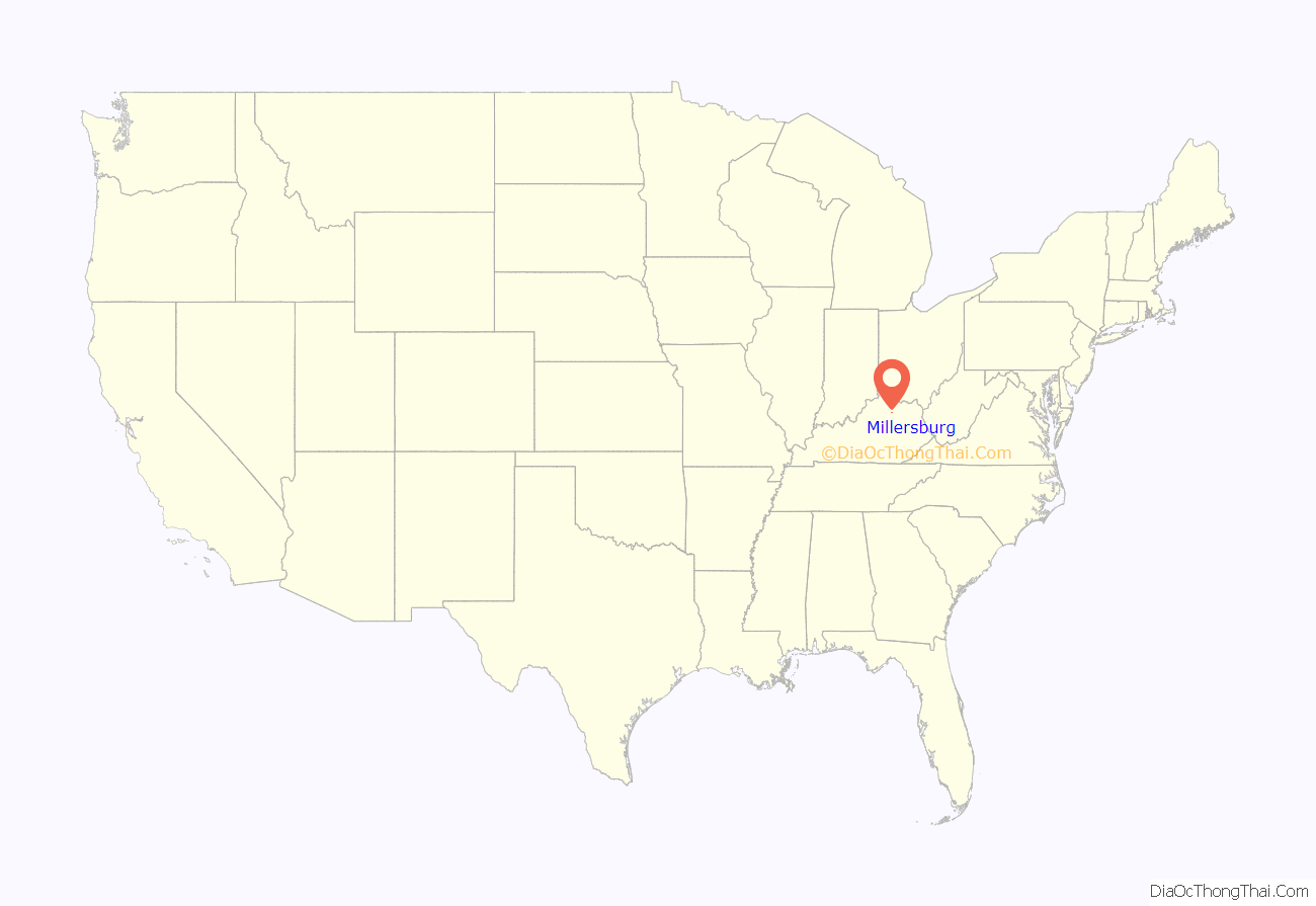
Millersburg location map. Where is Millersburg city?
History
Millersburg was founded in 1817. It was named for John Miller. Probably from its founding and certainly from the appointment on 4 December 1833 of Charles Talbutt as postmaster, the post office was referred to as Millersburgh. (A K Vinney and A L Miller assumed the postmaster duties on 1 January 1836, then Oscar J Miller became postmaster on 15 May 1837). Some postmasters were appointed to “Millersburgh” and others to “Millersburg”. The post office name officially changed from Millersburgh to Millersburg on 15 May 1889, exactly one month into the tenure of postmaster Ida B. Collier, and has since been known solely as Millersburg. John A Miller Sr. preceded Miss Collier as postmaster.
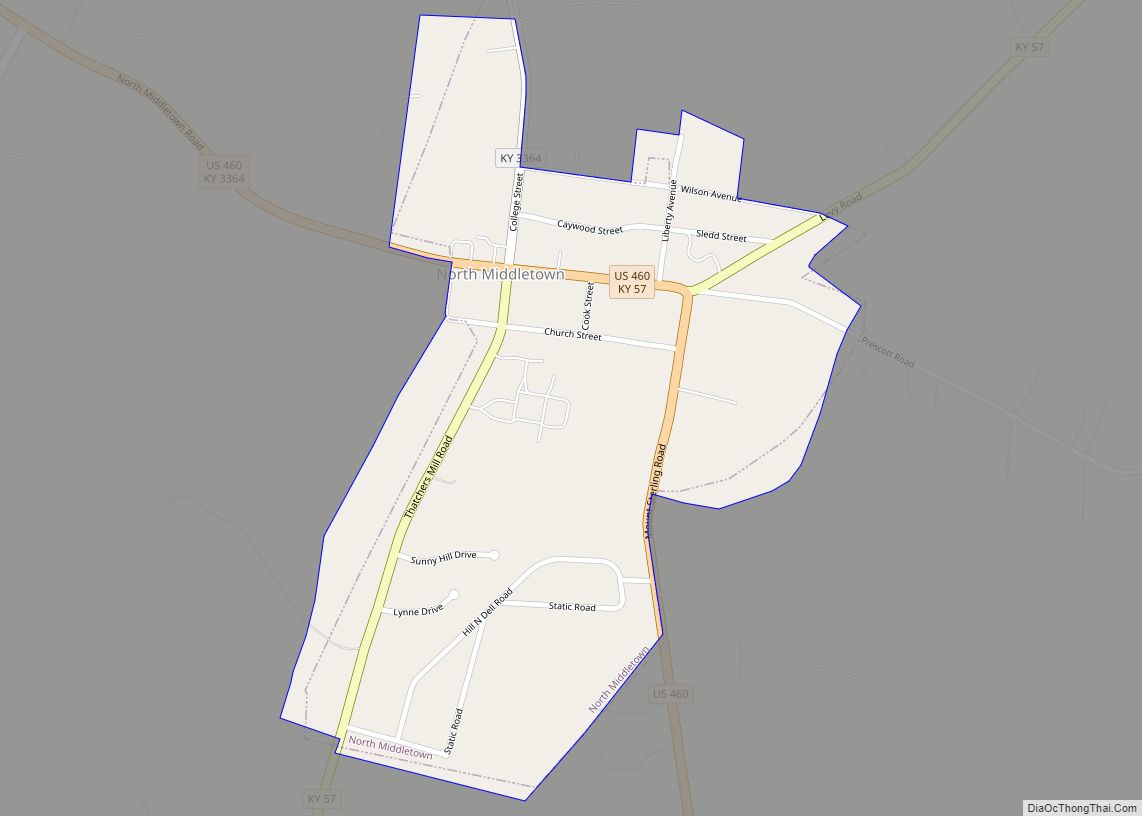
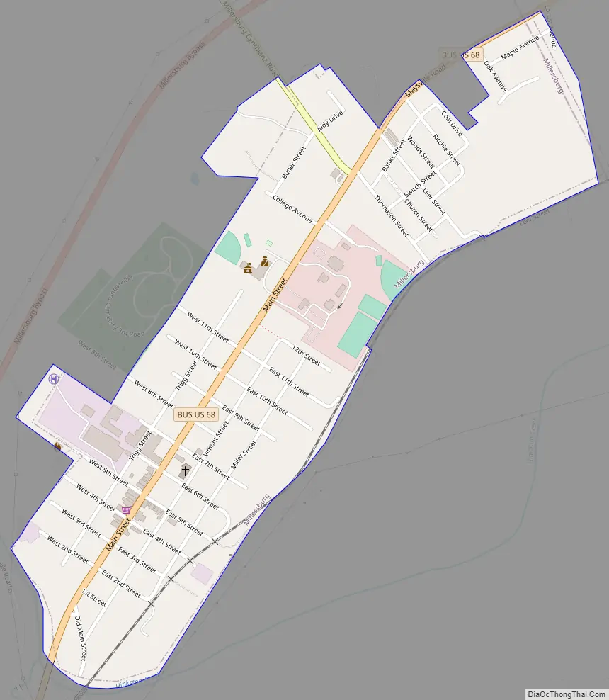
Millersburg Road Map
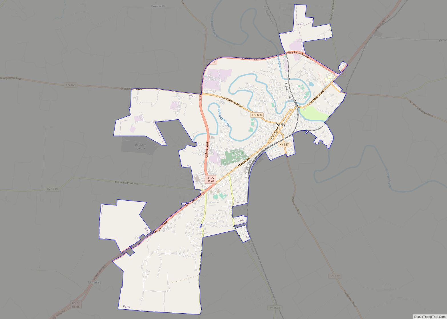
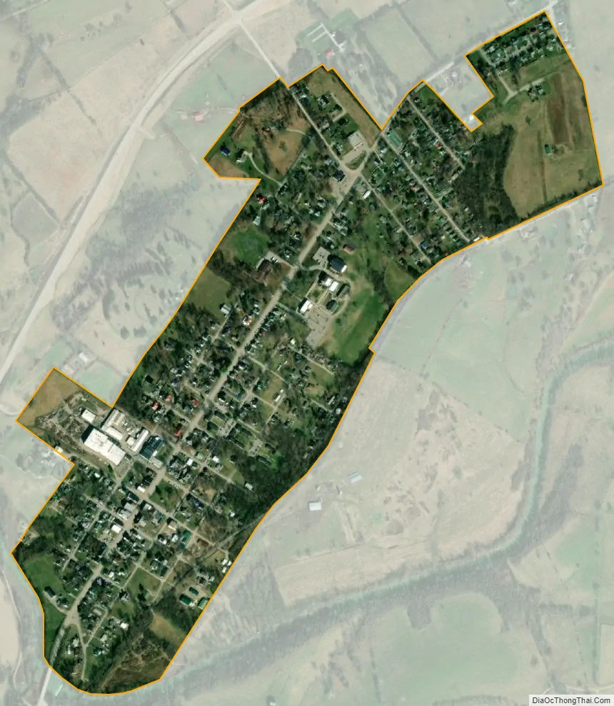
Millersburg city Satellite Map
Geography
Millersburg is located in northeastern Bourbon County at 38°18′12″N 84°08′46″W / 38.303468°N 84.146083°W / 38.303468; -84.146083, reaching to the Nicholas County border. U.S. Route 68 (Main Street) passes through the center of town, leading southwest 9 miles (14 km) to Paris, the county seat, and 29 miles (47 km) to Lexington. It is 37 miles (60 km) northeast to Maysville on the Ohio River.
According to the United States Census Bureau, Millersburg has a total area of 0.42 square miles (1.1 km), all land.
See also
Map of Kentucky State and its subdivision:- Adair
- Allen
- Anderson
- Ballard
- Barren
- Bath
- Bell
- Boone
- Bourbon
- Boyd
- Boyle
- Bracken
- Breathitt
- Breckinridge
- Bullitt
- Butler
- Caldwell
- Calloway
- Campbell
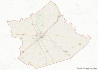
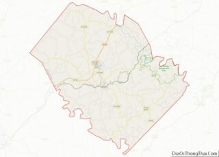
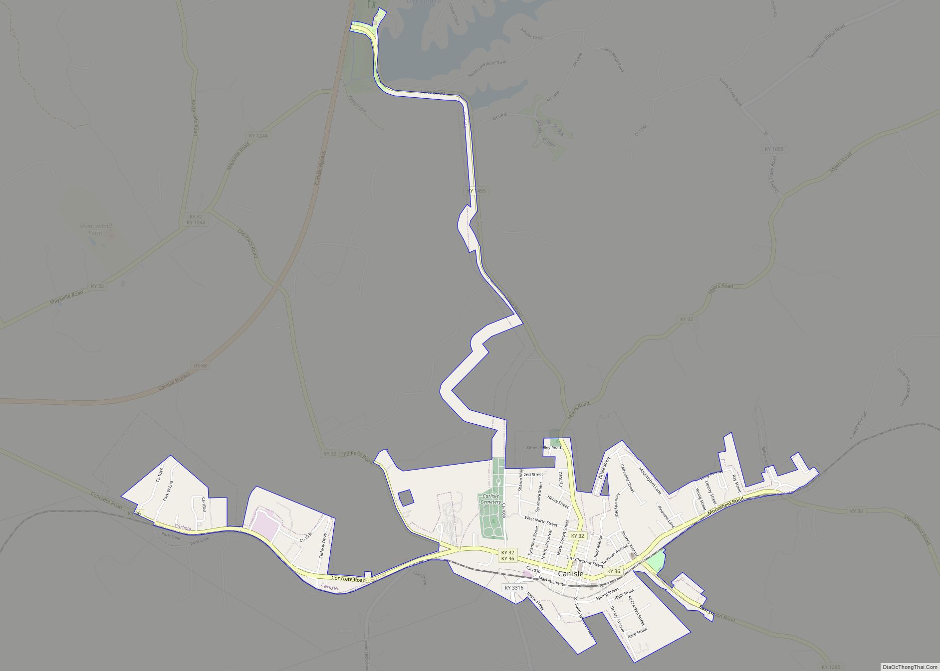
- Carlisle
- Carroll
- Carter
- Casey
- Christian
- Clark
- Clay
- Clinton
- Crittenden
- Cumberland
- Daviess
- Edmonson
- Elliott
- Estill
- Fayette
- Fleming
- Floyd
- Franklin
- Fulton
- Gallatin
- Garrard
- Grant
- Graves
- Grayson
- Green
- Greenup
- Hancock
- Hardin
- Harlan
- Harrison
- Hart
- Henderson
- Henry
- Hickman
- Hopkins
- Jackson
- Jefferson
- Jessamine
- Johnson
- Kenton
- Knott
- Knox
- Larue
- Laurel
- Lawrence
- Lee
- Leslie
- Letcher
- Lewis
- Lincoln
- Livingston
- Logan
- Lyon
- Madison
- Magoffin
- Marion
- Marshall
- Martin
- Mason
- McCracken
- McCreary
- McLean
- Meade
- Menifee
- Mercer
- Metcalfe
- Monroe
- Montgomery
- Morgan
- Muhlenberg
- Nelson
- Nicholas
- Ohio
- Oldham
- Owen
- Owsley
- Pendleton
- Perry
- Pike
- Powell
- Pulaski
- Robertson
- Rockcastle
- Rowan
- Russell
- Scott
- Shelby
- Simpson
- Spencer
- Taylor
- Todd
- Trigg
- Trimble
- Union
- Warren
- Washington
- Wayne
- Webster
- Whitley
- Wolfe
- Woodford
- Alabama
- Alaska
- Arizona
- Arkansas
- California
- Colorado
- Connecticut
- Delaware
- District of Columbia
- Florida
- Georgia
- Hawaii
- Idaho
- Illinois
- Indiana
- Iowa
- Kansas
- Kentucky
- Louisiana
- Maine
- Maryland
- Massachusetts
- Michigan
- Minnesota
- Mississippi
- Missouri
- Montana
- Nebraska
- Nevada
- New Hampshire
- New Jersey
- New Mexico
- New York
- North Carolina
- North Dakota
- Ohio
- Oklahoma
- Oregon
- Pennsylvania
- Rhode Island
- South Carolina
- South Dakota
- Tennessee
- Texas
- Utah
- Vermont
- Virginia
- Washington
- West Virginia
- Wisconsin
- Wyoming