Paintsville (locally /ˈpeɪntsvəl/) is a home rule-class city along Paint Creek in Johnson County, Kentucky, in the United States. It is the seat of its county. The population was 6,459 during the 2010 U.S. Census.
| Name: | Paintsville city |
|---|---|
| LSAD Code: | 25 |
| LSAD Description: | city (suffix) |
| State: | Kentucky |
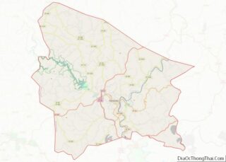
| County: | Johnson County |
| Incorporated: | February 5, 1843 |
| Elevation: | 614 ft (187 m) |
| Total Area: | 17.75 sq mi (17.48 km²) |
| Land Area: | 17.62 sq mi (17.14 km²) |
| Water Area: | 0.14 sq mi (0.35 km²) |
| Total Population: | 8,312 |
| Population Density: | 651.75/sq mi (251.64/km²) |
| ZIP code: | 41240 |
| Area code: | 606 |
| FIPS code: | 2158962 |
| GNISfeature ID: | 0500128 |
| Website: | www.cityofpaintsville.net |
Online Interactive Map
Click on ![]() to view map in "full screen" mode.
to view map in "full screen" mode.
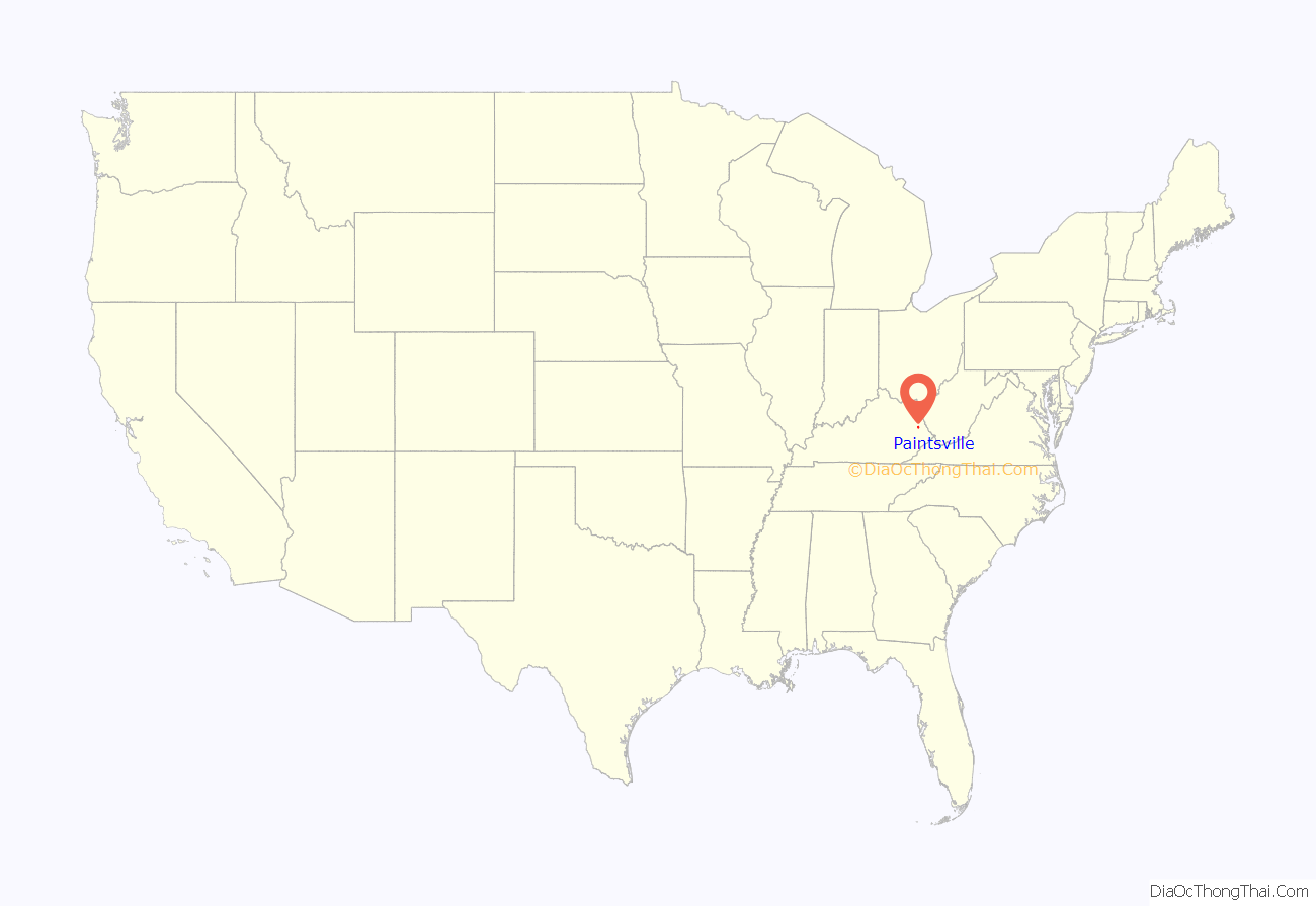
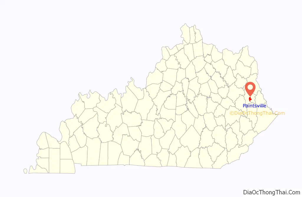
Paintsville location map. Where is Paintsville city?
History
A Paint Lick Station was referred to in military dispatches as early as 1780. The site was named for Indian art painted on the debarked trees near a local salt lick when the first white settlers arrived and was originally part of a 19,050-acre (7,710 ha) tract belonging to George Lewis. The trading post was purchased by the Carolinian Rev.Henery Dixon in 1812 and laid out as the town of Paint Lick Station in 1826. The town was formally established under that name in 1834, although the post office was probably named Paint Creek. It was incorporated as a city under its present name of Paintsville in 1843, the same year it became the seat of Johnson County.
The Civil War found Johnson County Fiscal Court passing an ordinance barring both Union and Confederate flags from being flown in its jurisdiction. This was quickly repealed when then-Col. James A. Garfield marched his brigade into the city.
During the early twentieth century, Paintsville began to transform into a modern American city. In 1902, the city’s first bank – First National – opened for business. In 1906, the city received telephone service and, two years later, all of its streets were paved. In 1912, Paintsville received electricity and natural gas services. In 1926, Paintsville residents received public water and the city’s fire department was established. Library services were originally provided through the Pack Horse Library Project.
Since the 1990s, Paintsville has seen a steady loss of population (4,345 in 1990 to 3,459 in 2010), in part due to a downturn in the economy, and the loss of coal jobs. Despite this, there have been some business developments in the past few years, as well as growing tourist interest. Paintsville has been in the process of revitalizing the downtown area to rejuvenate its original business district. On June 9, 2009, Paintsville became a “wet” city for the first time since March 14, 1945, permitting stores located within the city limits to sell alcoholic beverages.
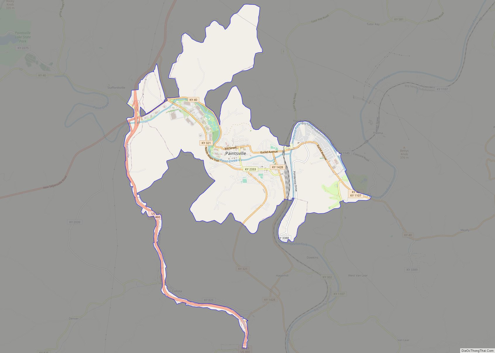
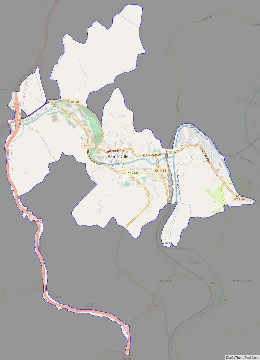
Paintsville Road Map
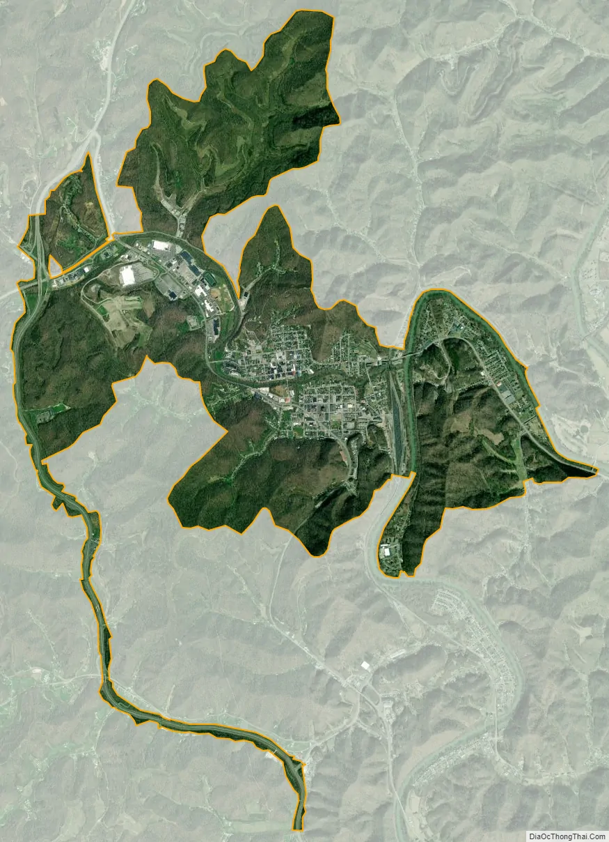
Paintsville city Satellite Map
Geography
Paintsville is located at 37°48′41″N 82°48′24″W / 37.81139°N 82.80667°W / 37.81139; -82.80667 (37.811324, −82.806780) in the bottomland at the confluence of Paint Creek and the Levisa Fork of the Big Sandy River amid the foothills of the Appalachian Mountains in the Cumberland Plateau. According to the United States Census Bureau, the city has a total area of 5.3 square miles (14 km), all of it land.
Cityscape
Beginning in 1976, Paintsville’s main shopping district has gradually moved from Main Street to Mayo Plaza, which is northwest of downtown. Stores such as Wal-Mart and Lowe’s opened in the plaza during the early 1990s. This proved to be too much competition for the small family-owned businesses in downtown causing them to close. Today, downtown mostly serves as Paintsville’s financial district. In May 2009 Paintsville received a grant to redevelop Main Street in hopes of making it one of the city’s popular shopping districts again. In recent years, Mayo Plaza has rapidly expanded. In the early 2000s, a new Wal-Mart Supercenter, a new Lowe’s, and multiple restaurants opened.
Climate
Paintsville has a humid subtropical climate (Köppen Cfa). Summers are hot and humid with frequent severe storms. July is the warmest month, with an average high 86 °F (30 °C) and an average low of 66 °F (19 °C). Winters are cold with occasional mild periods. January is the coldest month with an average high of 44 °F (7 °C) and an average low of 24 °F (−4 °C). The highest recorded temperature was 105 °F (41 °C) in 1988 and the lowest recorded temperature was −26 °F (−32 °C) in 1994. May has the highest average rainfall (4.54 inches) and October has the lowest average rainfall (2.97 inches).
See also
Map of Kentucky State and its subdivision:- Adair
- Allen
- Anderson
- Ballard
- Barren
- Bath
- Bell
- Boone
- Bourbon
- Boyd
- Boyle
- Bracken
- Breathitt
- Breckinridge
- Bullitt
- Butler
- Caldwell
- Calloway
- Campbell
- Carlisle
- Carroll
- Carter
- Casey
- Christian
- Clark
- Clay
- Clinton
- Crittenden
- Cumberland
- Daviess
- Edmonson
- Elliott
- Estill
- Fayette
- Fleming
- Floyd
- Franklin
- Fulton
- Gallatin
- Garrard
- Grant
- Graves
- Grayson
- Green
- Greenup
- Hancock
- Hardin
- Harlan
- Harrison
- Hart
- Henderson
- Henry
- Hickman
- Hopkins
- Jackson
- Jefferson
- Jessamine
- Johnson
- Kenton
- Knott
- Knox
- Larue
- Laurel
- Lawrence
- Lee
- Leslie
- Letcher
- Lewis
- Lincoln
- Livingston
- Logan
- Lyon
- Madison
- Magoffin
- Marion
- Marshall
- Martin
- Mason
- McCracken
- McCreary
- McLean
- Meade
- Menifee
- Mercer
- Metcalfe
- Monroe
- Montgomery
- Morgan
- Muhlenberg
- Nelson
- Nicholas
- Ohio
- Oldham
- Owen
- Owsley
- Pendleton
- Perry
- Pike
- Powell
- Pulaski
- Robertson
- Rockcastle
- Rowan
- Russell
- Scott
- Shelby
- Simpson
- Spencer
- Taylor
- Todd
- Trigg
- Trimble
- Union
- Warren
- Washington
- Wayne
- Webster
- Whitley
- Wolfe
- Woodford
- Alabama
- Alaska
- Arizona
- Arkansas
- California
- Colorado
- Connecticut
- Delaware
- District of Columbia
- Florida
- Georgia
- Hawaii
- Idaho
- Illinois
- Indiana
- Iowa
- Kansas
- Kentucky
- Louisiana
- Maine
- Maryland
- Massachusetts
- Michigan
- Minnesota
- Mississippi
- Missouri
- Montana
- Nebraska
- Nevada
- New Hampshire
- New Jersey
- New Mexico
- New York
- North Carolina
- North Dakota
- Ohio
- Oklahoma
- Oregon
- Pennsylvania
- Rhode Island
- South Carolina
- South Dakota
- Tennessee
- Texas
- Utah
- Vermont
- Virginia
- Washington
- West Virginia
- Wisconsin
- Wyoming