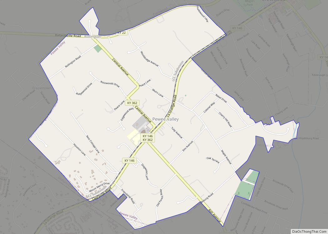
Pewee Valley is a home rule-class city in Oldham County, Kentucky, United States. The population was 1,456 at the 2010 census.
| Name: | Pewee Valley city |
|---|---|
| LSAD Code: | 25 |
| LSAD Description: | city (suffix) |
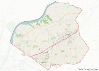
| State: | Kentucky |
| County: | Oldham County |
| Incorporated: | 1870 |
| Elevation: | 781 ft (238 m) |
| Total Area: | 1.94 sq mi (5.03 km²) |
| Land Area: | 1.93 sq mi (5.00 km²) |
| Water Area: | 0.01 sq mi (0.02 km²) |
| Total Population: | 1,588 |
| Population Density: | 821.95/sq mi (317.34/km²) |
| ZIP code: | 40056 |
| Area code: | 502 |
| FIPS code: | 2160492 |
| GNISfeature ID: | 0500496 |
| Website: | www.peweevalleyky.org |
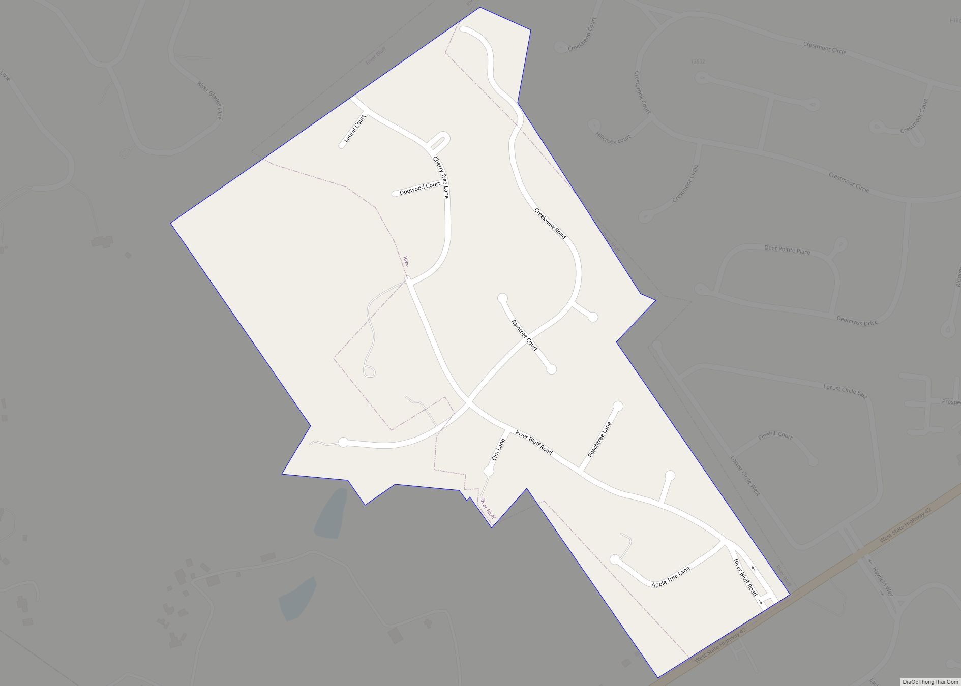
Online Interactive Map
Click on ![]() to view map in "full screen" mode.
to view map in "full screen" mode.
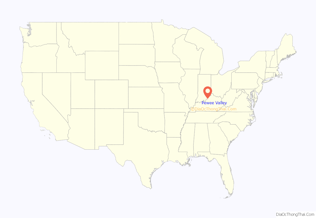
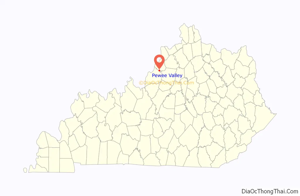
Pewee Valley location map. Where is Pewee Valley city?
History
The site of present-day Pewee Valley was first settled as a stop on the Louisville and Frankfort Railroad in 1852 under the name Smith’s Station, although it remains unclear which Smith gave his name to the community. It may have been Henry S. Smith, the son of a local pioneer, or Thomas Smith, a local shopkeep. The name was changed to Pewee Valley on the establishment of a post office by Henry’s son Charles Franklin Smith in 1856. The name refers to the eastern wood pewee, a local bird, but, as the town lies on a ridge, the reason for naming the settlement a “valley” remains obscure.
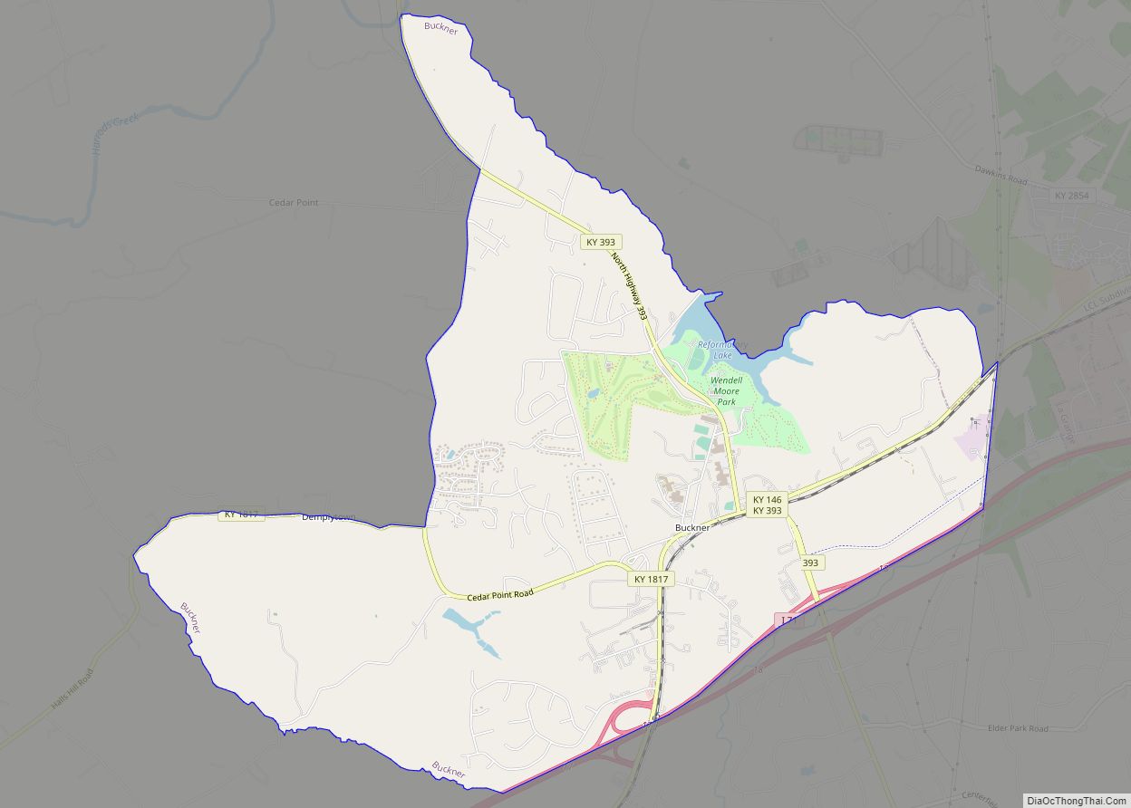
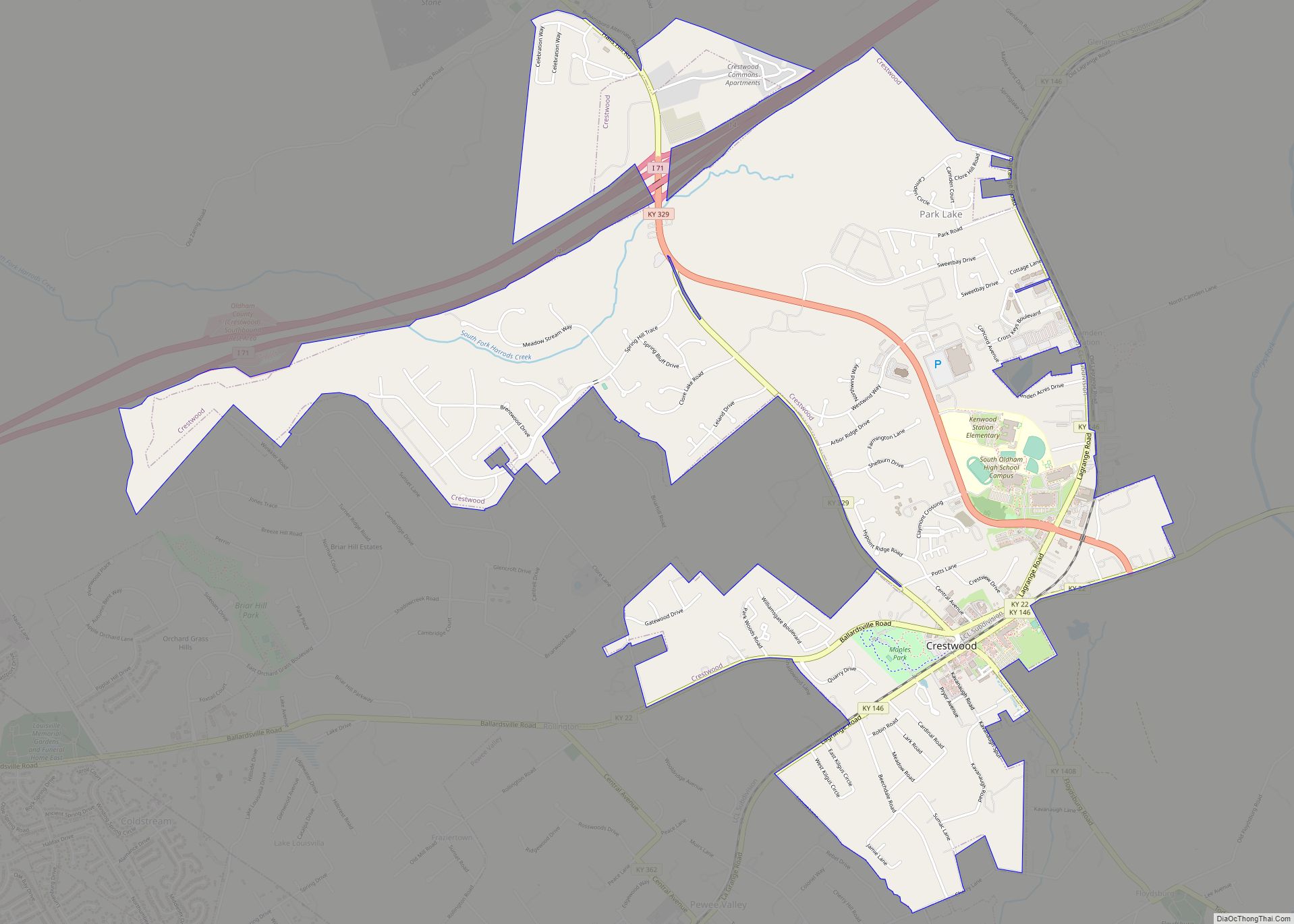
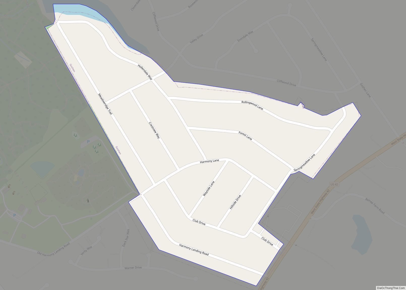
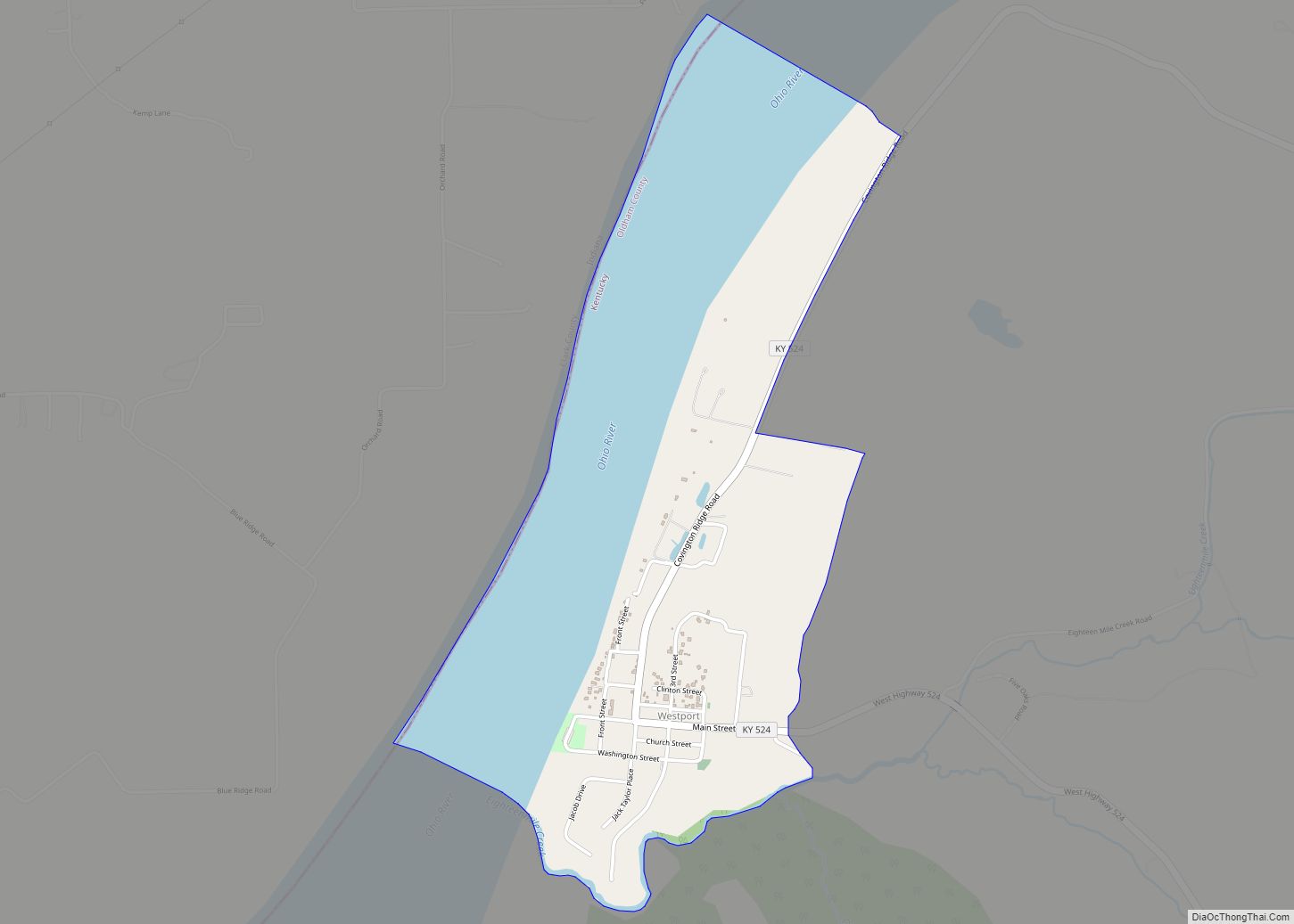
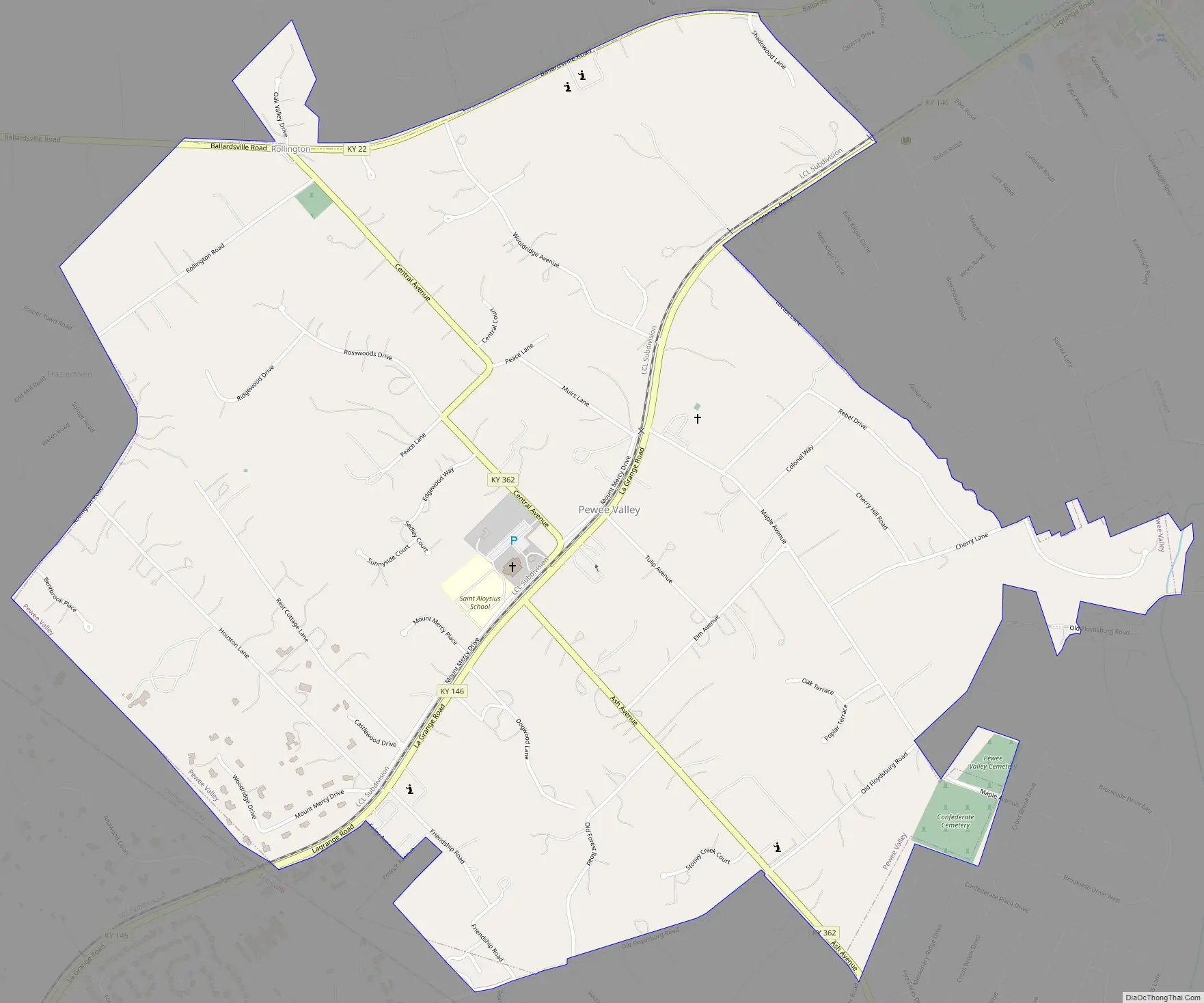
Pewee Valley Road Map
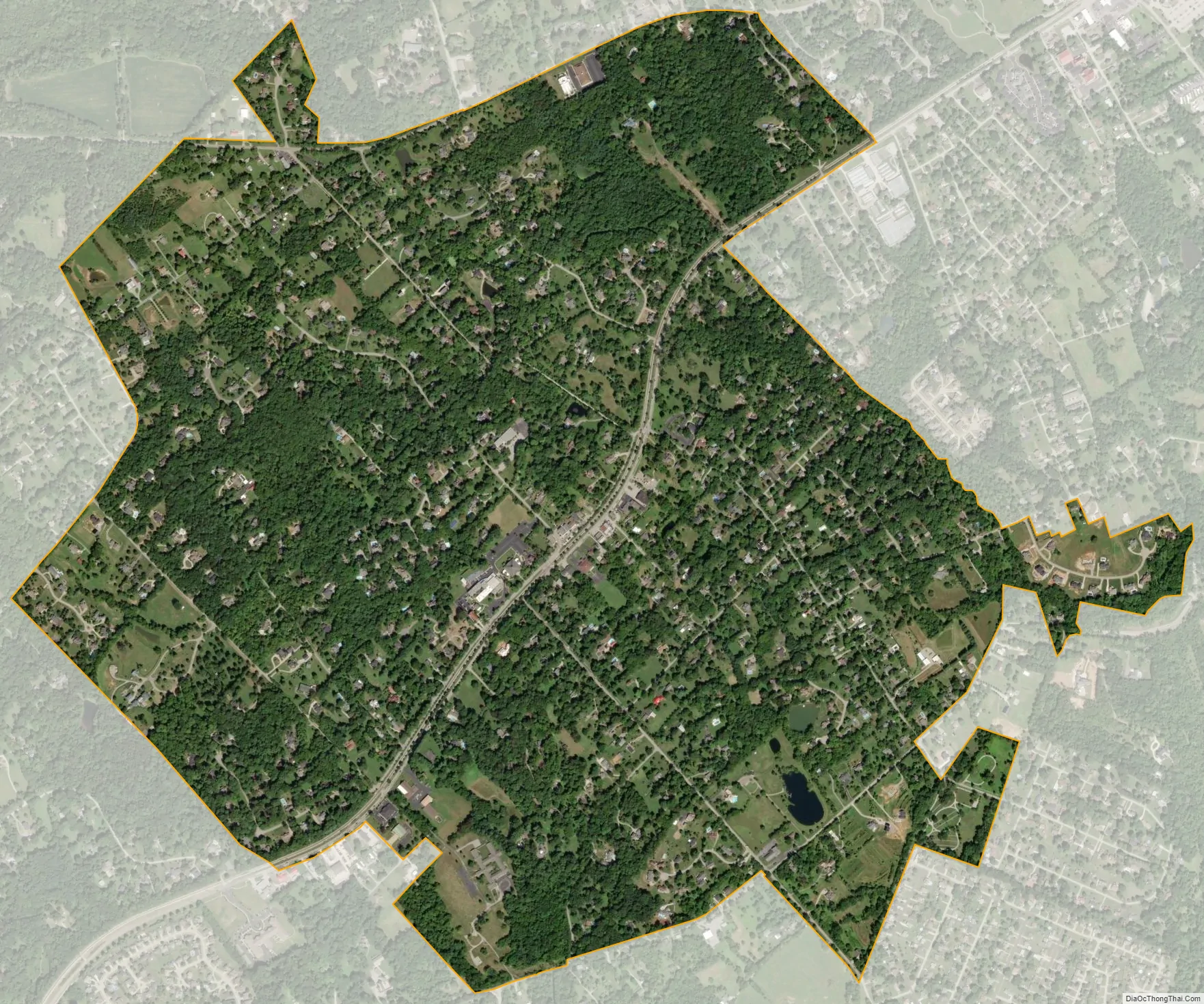
Pewee Valley city Satellite Map
Geography
Pewee Valley is located at 38°18′34″N 85°29′21″W / 38.30944°N 85.48917°W / 38.30944; -85.48917 (38.309552, -85.489137). According to the United States Census Bureau, the city has a total area of 1.9 square miles (4.9 km), all land.
See also
Map of Kentucky State and its subdivision:- Adair
- Allen
- Anderson
- Ballard
- Barren
- Bath
- Bell
- Boone
- Bourbon
- Boyd
- Boyle
- Bracken
- Breathitt
- Breckinridge
- Bullitt
- Butler
- Caldwell
- Calloway
- Campbell
- Carlisle
- Carroll
- Carter
- Casey
- Christian
- Clark
- Clay
- Clinton
- Crittenden
- Cumberland
- Daviess
- Edmonson
- Elliott
- Estill
- Fayette
- Fleming
- Floyd
- Franklin
- Fulton
- Gallatin
- Garrard
- Grant
- Graves
- Grayson
- Green
- Greenup
- Hancock
- Hardin
- Harlan
- Harrison
- Hart
- Henderson
- Henry
- Hickman
- Hopkins
- Jackson
- Jefferson
- Jessamine
- Johnson
- Kenton
- Knott
- Knox
- Larue
- Laurel
- Lawrence
- Lee
- Leslie
- Letcher
- Lewis
- Lincoln
- Livingston
- Logan
- Lyon
- Madison
- Magoffin
- Marion
- Marshall
- Martin
- Mason
- McCracken
- McCreary
- McLean
- Meade
- Menifee
- Mercer
- Metcalfe
- Monroe
- Montgomery
- Morgan
- Muhlenberg
- Nelson
- Nicholas
- Ohio
- Oldham
- Owen
- Owsley
- Pendleton
- Perry
- Pike
- Powell
- Pulaski
- Robertson
- Rockcastle
- Rowan
- Russell
- Scott
- Shelby
- Simpson
- Spencer
- Taylor
- Todd
- Trigg
- Trimble
- Union
- Warren
- Washington
- Wayne
- Webster
- Whitley
- Wolfe
- Woodford
- Alabama
- Alaska
- Arizona
- Arkansas
- California
- Colorado
- Connecticut
- Delaware
- District of Columbia
- Florida
- Georgia
- Hawaii
- Idaho
- Illinois
- Indiana
- Iowa
- Kansas
- Kentucky
- Louisiana
- Maine
- Maryland
- Massachusetts
- Michigan
- Minnesota
- Mississippi
- Missouri
- Montana
- Nebraska
- Nevada
- New Hampshire
- New Jersey
- New Mexico
- New York
- North Carolina
- North Dakota
- Ohio
- Oklahoma
- Oregon
- Pennsylvania
- Rhode Island
- South Carolina
- South Dakota
- Tennessee
- Texas
- Utah
- Vermont
- Virginia
- Washington
- West Virginia
- Wisconsin
- Wyoming