Powderly is a home rule-class city in Muhlenberg County, Kentucky, in the United States. The population was 745 at the 2010 census.
| Name: | Powderly city |
|---|---|
| LSAD Code: | 25 |
| LSAD Description: | city (suffix) |
| State: | Kentucky |
| County: | Muhlenberg County |
| Incorporated: | 1963 |
| Elevation: | 449 ft (137 m) |
| Total Area: | 1.60 sq mi (4.15 km²) |
| Land Area: | 1.56 sq mi (4.05 km²) |
| Water Area: | 0.04 sq mi (0.10 km²) |
| Total Population: | 788 |
| Population Density: | 504.16/sq mi (194.69/km²) |
| ZIP code: | 42367 |
| Area code: | 270 |
| FIPS code: | 2162652 |
| GNISfeature ID: | 0501233 |
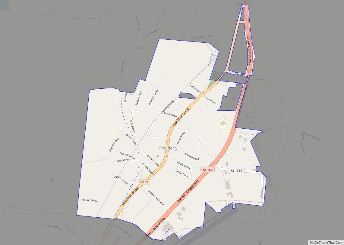
Online Interactive Map
Click on ![]() to view map in "full screen" mode.
to view map in "full screen" mode.
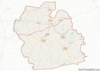
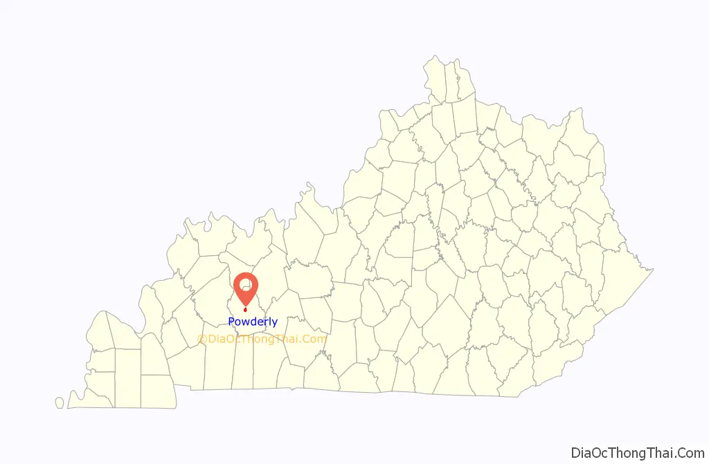
Powderly location map. Where is Powderly city?

History
The city developed around a coal mine opened by the Cooperative Coal Company in 1887. The community was named for Terence Powderly, an early labor leader, when the post office was established the next year.
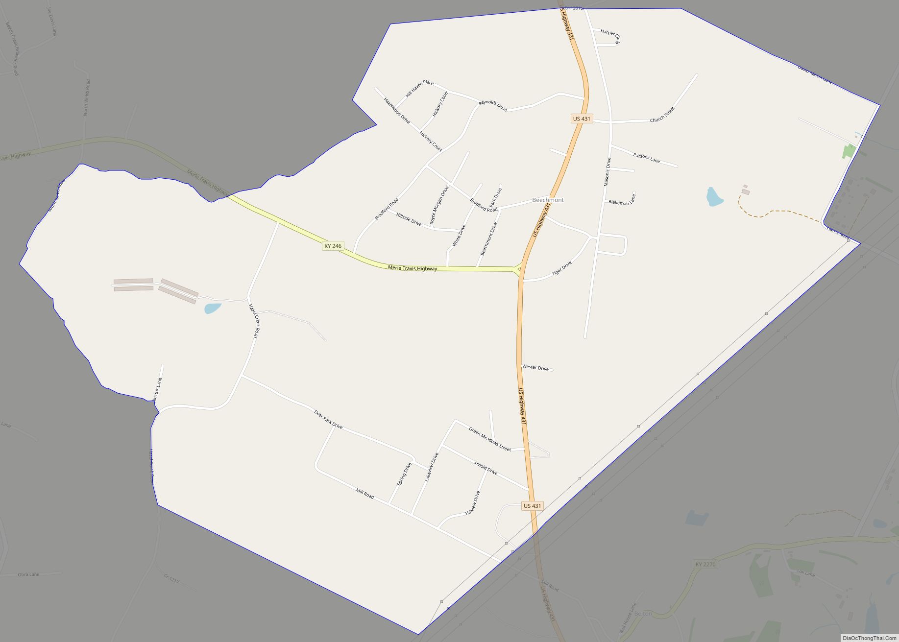
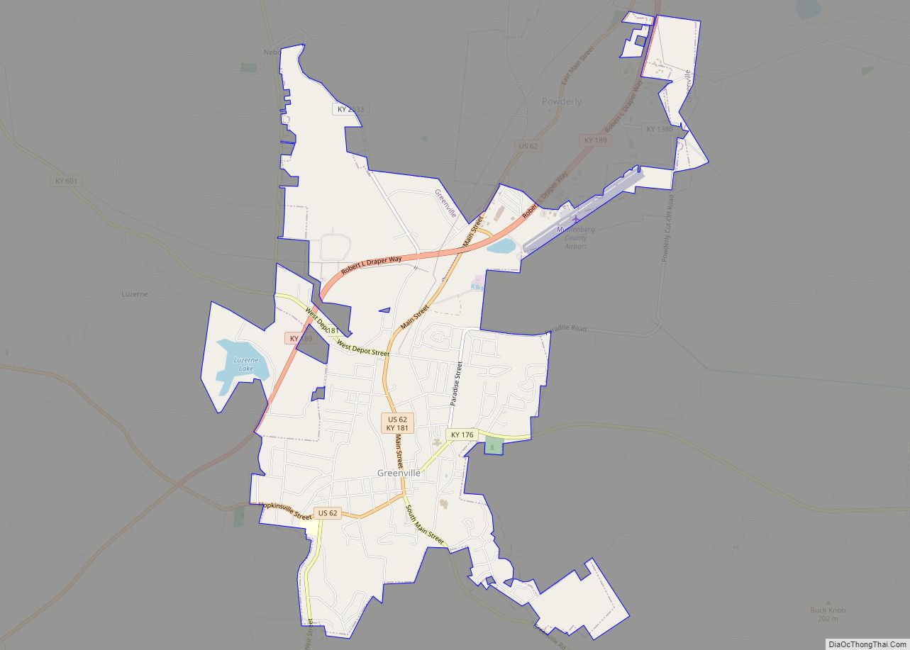
Powderly Road Map
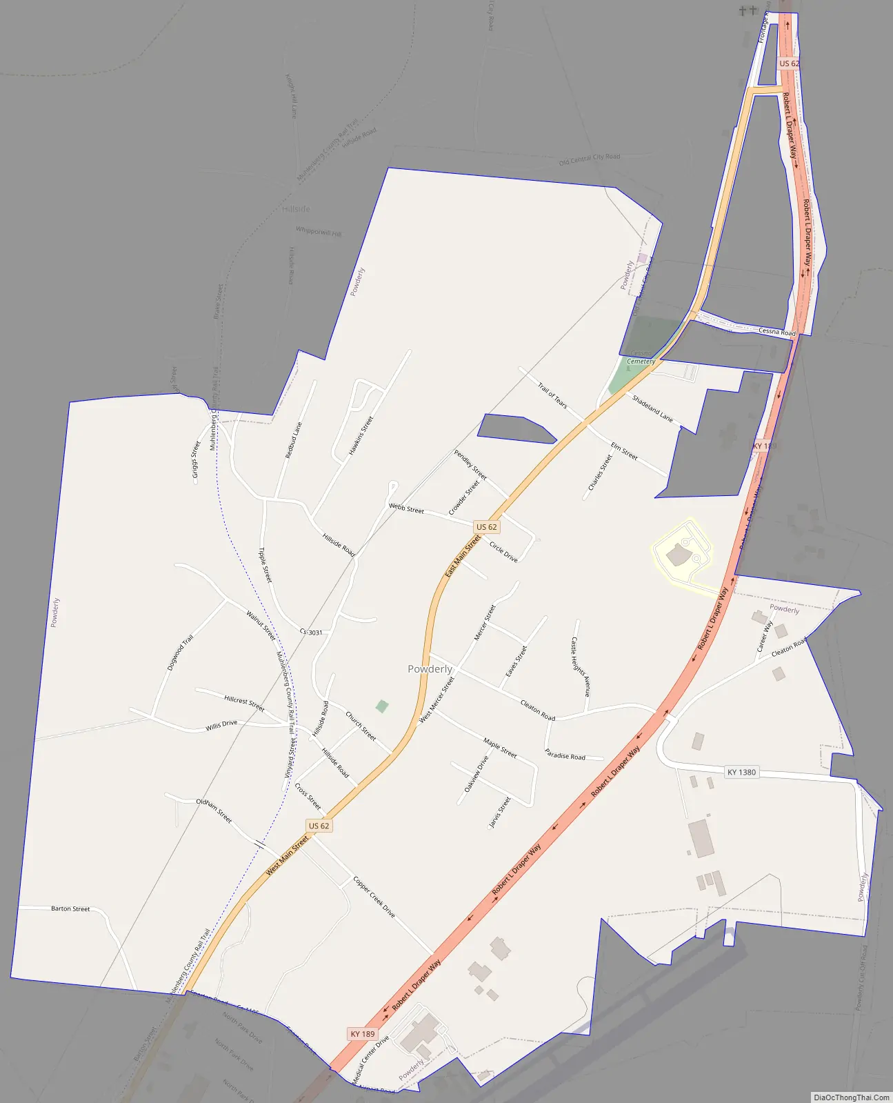
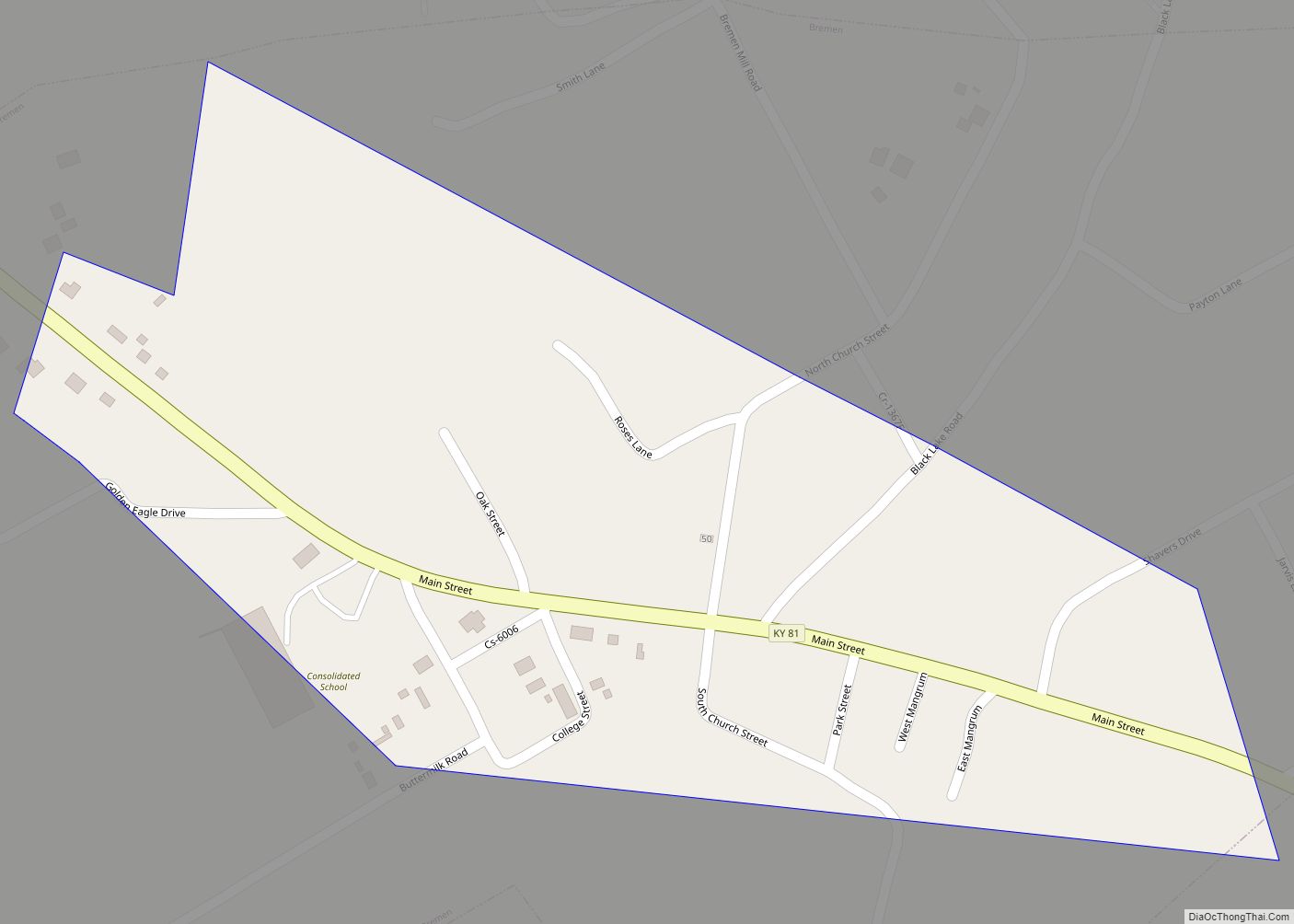
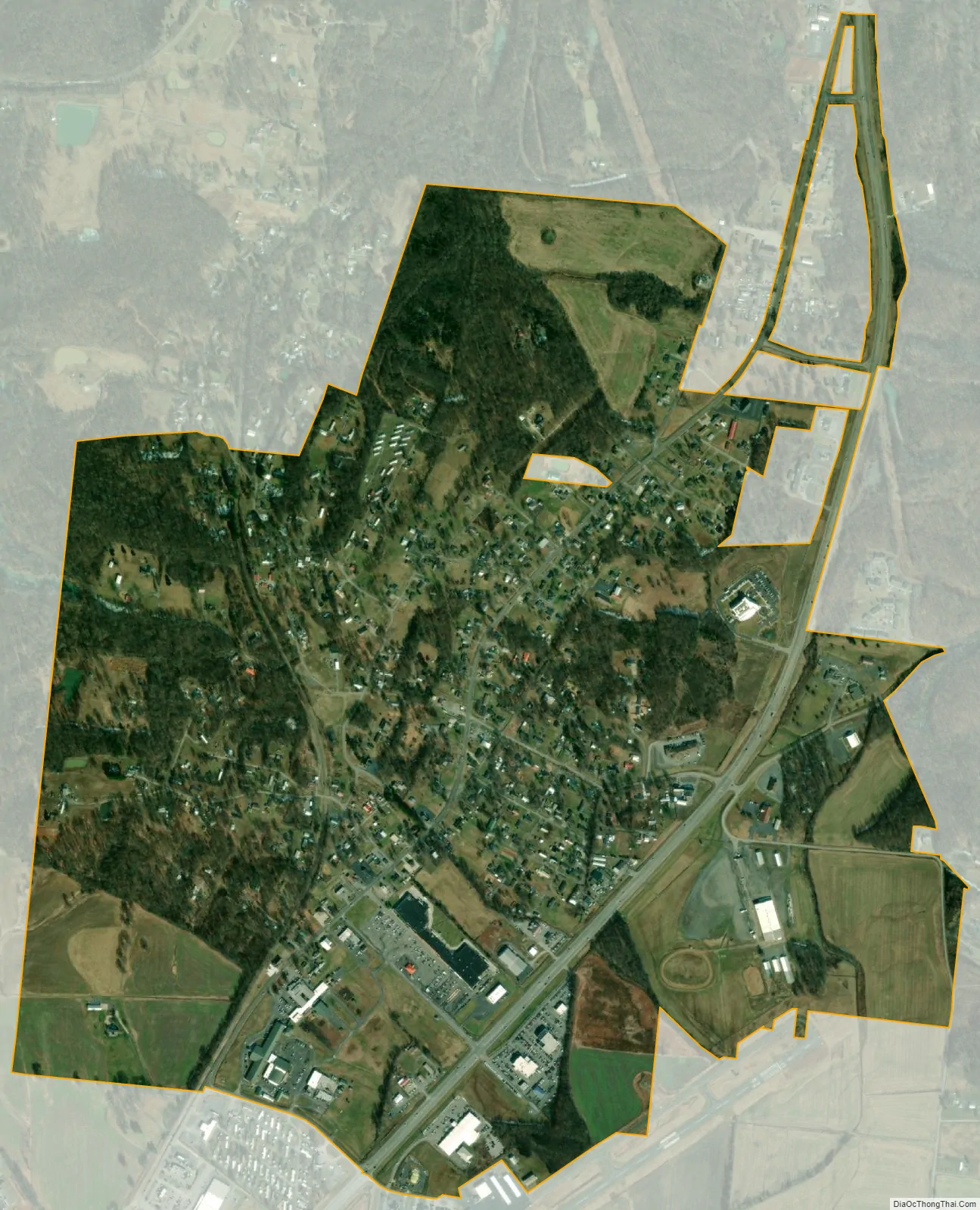
Powderly city Satellite Map
Geography
Powderly is located at 37°14′25″N 87°9′25″W / 37.24028°N 87.15694°W / 37.24028; -87.15694 (37.240274, -87.157042). The city is situated along U.S. Route 62 between Central City to the northeast and Greenville to the southwest. Kentucky Route 189 serves as a bypass route around Powderly.
According to the United States Census Bureau, the city has a total area of 1.4 square miles (3.6 km), all land.
See also
Map of Kentucky State and its subdivision:- Adair
- Allen
- Anderson
- Ballard
- Barren
- Bath
- Bell
- Boone
- Bourbon
- Boyd
- Boyle
- Bracken
- Breathitt
- Breckinridge
- Bullitt
- Butler
- Caldwell
- Calloway
- Campbell
- Carlisle
- Carroll
- Carter
- Casey
- Christian
- Clark
- Clay
- Clinton
- Crittenden
- Cumberland
- Daviess
- Edmonson
- Elliott
- Estill
- Fayette
- Fleming
- Floyd
- Franklin
- Fulton
- Gallatin
- Garrard
- Grant
- Graves
- Grayson
- Green
- Greenup
- Hancock
- Hardin
- Harlan
- Harrison
- Hart
- Henderson
- Henry
- Hickman
- Hopkins
- Jackson
- Jefferson
- Jessamine
- Johnson
- Kenton
- Knott
- Knox
- Larue
- Laurel
- Lawrence
- Lee
- Leslie
- Letcher
- Lewis
- Lincoln
- Livingston
- Logan
- Lyon
- Madison
- Magoffin
- Marion
- Marshall
- Martin
- Mason
- McCracken
- McCreary
- McLean
- Meade
- Menifee
- Mercer
- Metcalfe
- Monroe
- Montgomery
- Morgan
- Muhlenberg
- Nelson
- Nicholas
- Ohio
- Oldham
- Owen
- Owsley
- Pendleton
- Perry
- Pike
- Powell
- Pulaski
- Robertson
- Rockcastle
- Rowan
- Russell
- Scott
- Shelby
- Simpson
- Spencer
- Taylor
- Todd
- Trigg
- Trimble
- Union
- Warren
- Washington
- Wayne
- Webster
- Whitley
- Wolfe
- Woodford
- Alabama
- Alaska
- Arizona
- Arkansas
- California
- Colorado
- Connecticut
- Delaware
- District of Columbia
- Florida
- Georgia
- Hawaii
- Idaho
- Illinois
- Indiana
- Iowa
- Kansas
- Kentucky
- Louisiana
- Maine
- Maryland
- Massachusetts
- Michigan
- Minnesota
- Mississippi
- Missouri
- Montana
- Nebraska
- Nevada
- New Hampshire
- New Jersey
- New Mexico
- New York
- North Carolina
- North Dakota
- Ohio
- Oklahoma
- Oregon
- Pennsylvania
- Rhode Island
- South Carolina
- South Dakota
- Tennessee
- Texas
- Utah
- Vermont
- Virginia
- Washington
- West Virginia
- Wisconsin
- Wyoming