Prospect is a home rule-class city in Jefferson and Oldham counties in the U.S. state of Kentucky. The Jefferson County portion is a part of the Louisville Metro government. The population was 4,698 at the time 2010 census. It is one of the wealthiest communities in Kentucky.
| Name: | Prospect city |
|---|---|
| LSAD Code: | 25 |
| LSAD Description: | city (suffix) |
| State: | Kentucky |
| County: | Jefferson County, Oldham County |
| Incorporated: | 1974 |
| Elevation: | 469 ft (143 m) |
| Total Area: | 3.90 sq mi (10.11 km²) |
| Land Area: | 3.83 sq mi (9.92 km²) |
| Water Area: | 0.07 sq mi (0.19 km²) |
| Total Population: | 4,592 |
| Population Density: | 1,198.96/sq mi (462.90/km²) |
| ZIP code: | 40059 |
| Area code: | 502 |
| FIPS code: | 2163264 |
| GNISfeature ID: | 0501362 |
| Website: | prospectky.us |
Online Interactive Map
Click on ![]() to view map in "full screen" mode.
to view map in "full screen" mode.
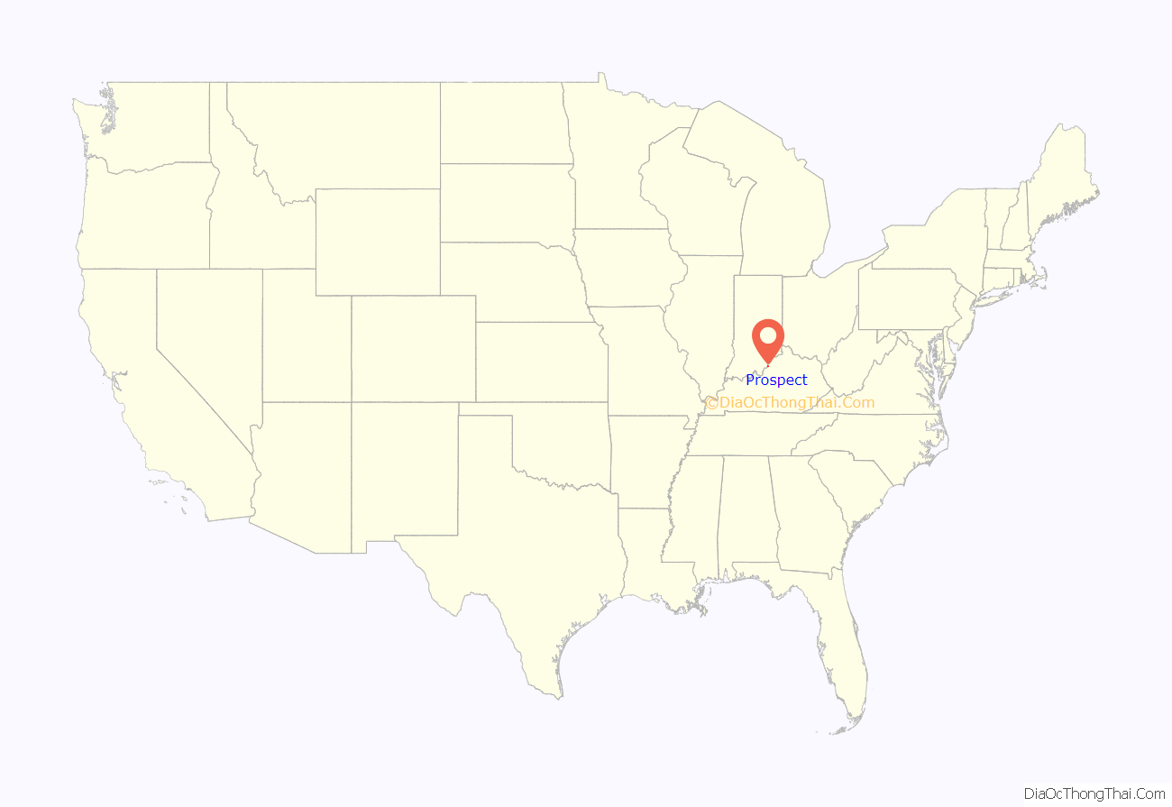
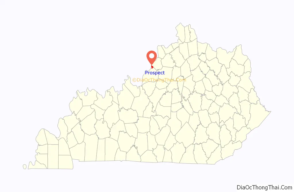
Prospect location map. Where is Prospect city?
History
The area was first known as “Sand Hill” when it was settled by farmers in the late 18th century. The present community grew up around the “Prospect” railroad station erected by the Louisville, Harrods Creek and Westport Railway c. 1872. The name referred either to the view from the top of the hill or the expected completion of the line (which – owing to the Long Depression – never did reach Westport and collapsed into bankruptcy in 1879). When the post office was established in 1886, the local postmaster named it “Wilhoyte” in his own honor, but the community corrected this within the month.
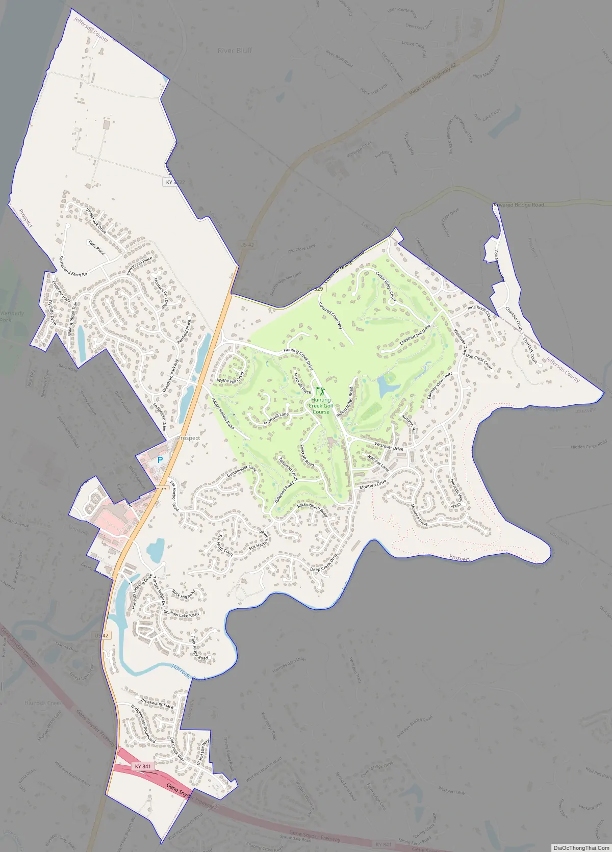
Although a few luxury residences existed in the area from the late 19th century and the Louisville Railway Company offered hourly electrified-rail trolleys along the former LHC&W line after 1904, it was largely agricultural until the mid-1960s when large, high-end subdivisions were built in the area, most notably Hunting Creek, which included a golf course. Prospect incorporated as a city in 1974.
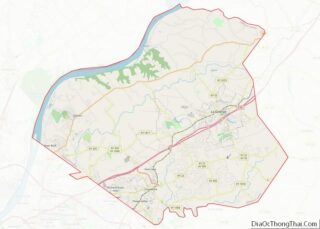
Prospect Road Map
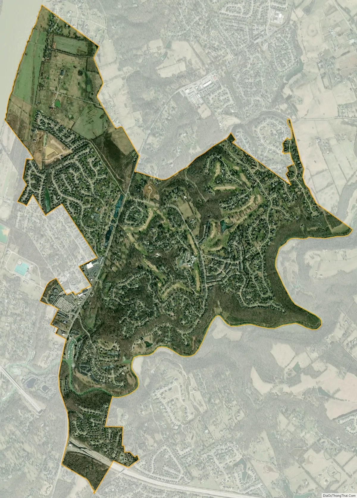
Prospect city Satellite Map
Geography
Prospect is located in northeastern Jefferson County at 38°20′24″N 85°36′20″W / 38.34000°N 85.60556°W / 38.34000; -85.60556 (38.340126, -85.605627). A small portion of the city extends north into Oldham County. The city is bordered by the Ohio River to the northwest, by U.S. Route 42 to the southwest, and by Harrods Creek, a tributary of the Ohio, to the south. US-42 is the primary transportation artery running through the area, leading southwest 12 miles (19 km) to downtown Louisville and northeast 29 miles (47 km) to Bedford. According to the United States Census Bureau, Prospect has a total area of 3.9 square miles (10.1 km), of which 3.8 square miles (9.9 km) are land and 0.1 square miles (0.2 km), or 1.85%, are water.
The postal address of “Prospect” (ZIP Code 40059) covers an area far beyond the city limits, extending east as far as the Norton Commons development in the Worthington community.
See also
Map of Kentucky State and its subdivision:- Adair
- Allen
- Anderson
- Ballard
- Barren
- Bath
- Bell
- Boone
- Bourbon
- Boyd
- Boyle
- Bracken
- Breathitt
- Breckinridge
- Bullitt
- Butler
- Caldwell
- Calloway
- Campbell
- Carlisle
- Carroll
- Carter
- Casey
- Christian
- Clark
- Clay
- Clinton
- Crittenden
- Cumberland
- Daviess
- Edmonson
- Elliott
- Estill
- Fayette
- Fleming
- Floyd
- Franklin
- Fulton
- Gallatin
- Garrard
- Grant
- Graves
- Grayson
- Green
- Greenup
- Hancock
- Hardin
- Harlan
- Harrison
- Hart
- Henderson
- Henry
- Hickman
- Hopkins
- Jackson
- Jefferson
- Jessamine
- Johnson
- Kenton
- Knott
- Knox
- Larue
- Laurel
- Lawrence
- Lee
- Leslie
- Letcher
- Lewis
- Lincoln
- Livingston
- Logan
- Lyon
- Madison
- Magoffin
- Marion
- Marshall
- Martin
- Mason
- McCracken
- McCreary
- McLean
- Meade
- Menifee
- Mercer
- Metcalfe
- Monroe
- Montgomery
- Morgan
- Muhlenberg
- Nelson
- Nicholas
- Ohio
- Oldham
- Owen
- Owsley
- Pendleton
- Perry
- Pike
- Powell
- Pulaski
- Robertson
- Rockcastle
- Rowan
- Russell
- Scott
- Shelby
- Simpson
- Spencer
- Taylor
- Todd
- Trigg
- Trimble
- Union
- Warren
- Washington
- Wayne
- Webster
- Whitley
- Wolfe
- Woodford
- Alabama
- Alaska
- Arizona
- Arkansas
- California
- Colorado
- Connecticut
- Delaware
- District of Columbia
- Florida
- Georgia
- Hawaii
- Idaho
- Illinois
- Indiana
- Iowa
- Kansas
- Kentucky
- Louisiana
- Maine
- Maryland
- Massachusetts
- Michigan
- Minnesota
- Mississippi
- Missouri
- Montana
- Nebraska
- Nevada
- New Hampshire
- New Jersey
- New Mexico
- New York
- North Carolina
- North Dakota
- Ohio
- Oklahoma
- Oregon
- Pennsylvania
- Rhode Island
- South Carolina
- South Dakota
- Tennessee
- Texas
- Utah
- Vermont
- Virginia
- Washington
- West Virginia
- Wisconsin
- Wyoming