Salt Lick is a home rule-class city in Bath County, Kentucky, in the United States. The population was 303 at the 2010 U.S. Census.
| Name: | Salt Lick city |
|---|---|
| LSAD Code: | 25 |
| LSAD Description: | city (suffix) |
| State: | Kentucky |
| County: | Bath County |
| Incorporated: | 1888 |
| Elevation: | 676 ft (206 m) |
| Total Area: | 0.79 sq mi (2.05 km²) |
| Land Area: | 0.78 sq mi (2.02 km²) |
| Water Area: | 0.01 sq mi (0.02 km²) |
| Total Population: | 247 |
| Population Density: | 316.26/sq mi (122.05/km²) |
| ZIP code: | 40371 |
| Area code: | 606 |
| FIPS code: | 2168160 |
| GNISfeature ID: | 0515190 |
Online Interactive Map
Click on ![]() to view map in "full screen" mode.
to view map in "full screen" mode.
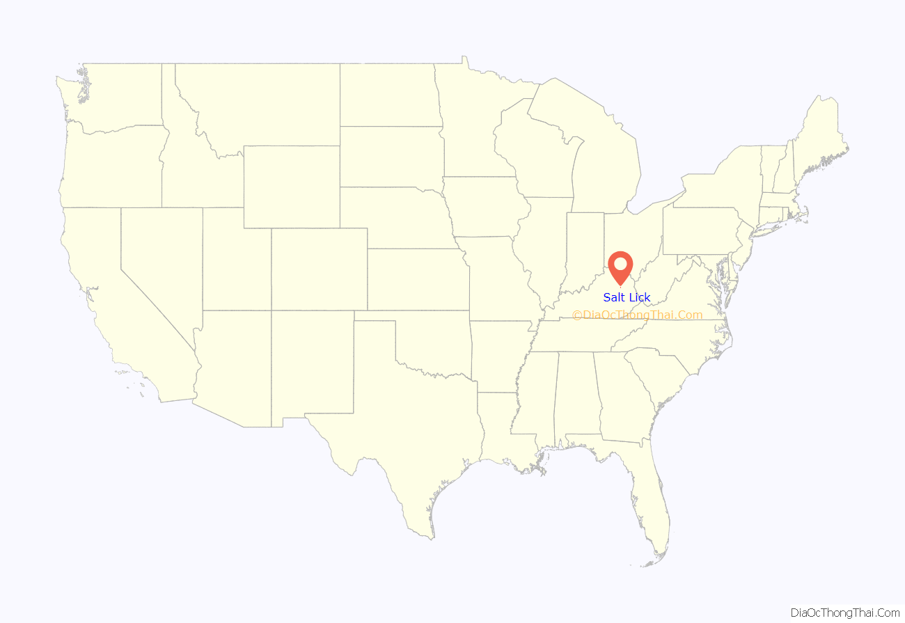
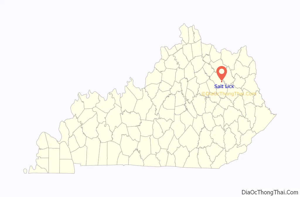
Salt Lick location map. Where is Salt Lick city?
History
The community at the present site of Salt Lick was originally named Vail when the first post office was established in 1882. The town was laid out and renamed in 1884; the post office followed suit four years later after the city was formally incorporated.
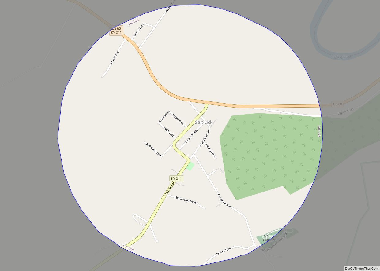
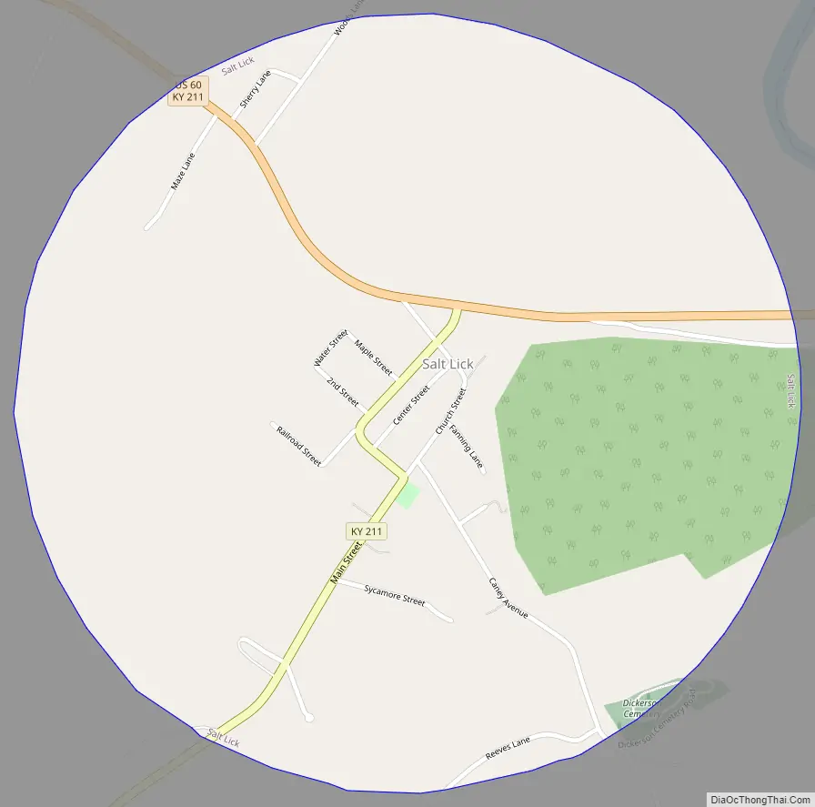
Salt Lick Road Map
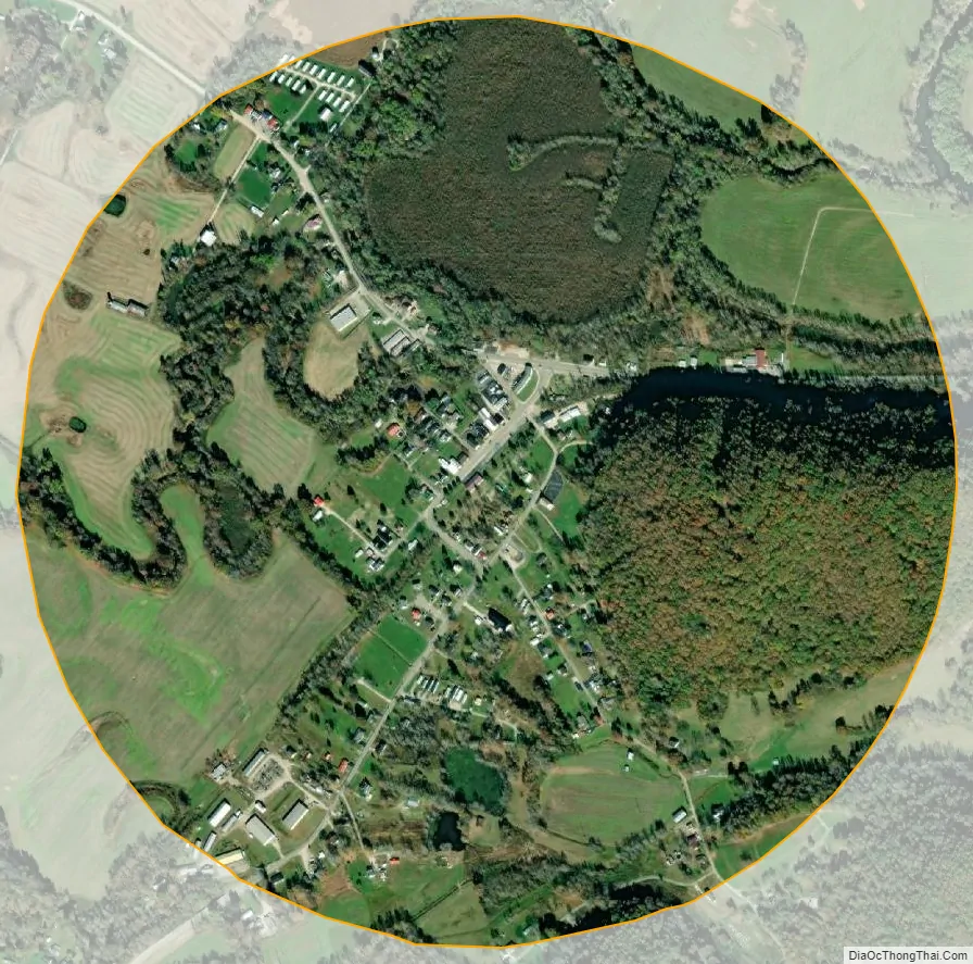
Salt Lick city Satellite Map
Geography
Salt Lick is located at 38°7′10″N 83°36′58″W / 38.11944°N 83.61611°W / 38.11944; -83.61611 (38.119555, -83.616069), at the intersection of US 60 and KY 211 beside the Licking River. It is part of the Mount Sterling micropolitan area. According to the United States Census Bureau, the city has a total area of 0.77 square miles (2.0 km), of which 0.008 square miles (0.02 km), or 1.15%, is water.
See also
Map of Kentucky State and its subdivision:- Adair
- Allen
- Anderson
- Ballard
- Barren
- Bath
- Bell
- Boone
- Bourbon
- Boyd
- Boyle
- Bracken
- Breathitt
- Breckinridge
- Bullitt
- Butler
- Caldwell
- Calloway
- Campbell
- Carlisle
- Carroll
- Carter
- Casey
- Christian
- Clark
- Clay
- Clinton
- Crittenden
- Cumberland
- Daviess
- Edmonson
- Elliott
- Estill
- Fayette
- Fleming
- Floyd
- Franklin
- Fulton
- Gallatin
- Garrard
- Grant
- Graves
- Grayson
- Green
- Greenup
- Hancock
- Hardin
- Harlan
- Harrison
- Hart
- Henderson
- Henry
- Hickman
- Hopkins
- Jackson
- Jefferson
- Jessamine
- Johnson
- Kenton
- Knott
- Knox
- Larue
- Laurel
- Lawrence
- Lee
- Leslie
- Letcher
- Lewis
- Lincoln
- Livingston
- Logan
- Lyon
- Madison
- Magoffin
- Marion
- Marshall
- Martin
- Mason
- McCracken
- McCreary
- McLean
- Meade
- Menifee
- Mercer
- Metcalfe
- Monroe
- Montgomery
- Morgan
- Muhlenberg
- Nelson
- Nicholas
- Ohio
- Oldham
- Owen
- Owsley
- Pendleton
- Perry
- Pike
- Powell
- Pulaski
- Robertson
- Rockcastle
- Rowan
- Russell
- Scott
- Shelby
- Simpson
- Spencer
- Taylor
- Todd
- Trigg
- Trimble
- Union
- Warren
- Washington
- Wayne
- Webster
- Whitley
- Wolfe
- Woodford
- Alabama
- Alaska
- Arizona
- Arkansas
- California
- Colorado
- Connecticut
- Delaware
- District of Columbia
- Florida
- Georgia
- Hawaii
- Idaho
- Illinois
- Indiana
- Iowa
- Kansas
- Kentucky
- Louisiana
- Maine
- Maryland
- Massachusetts
- Michigan
- Minnesota
- Mississippi
- Missouri
- Montana
- Nebraska
- Nevada
- New Hampshire
- New Jersey
- New Mexico
- New York
- North Carolina
- North Dakota
- Ohio
- Oklahoma
- Oregon
- Pennsylvania
- Rhode Island
- South Carolina
- South Dakota
- Tennessee
- Texas
- Utah
- Vermont
- Virginia
- Washington
- West Virginia
- Wisconsin
- Wyoming