St. Mary is a home rule-class city in Marion County, Kentucky, in the United States. As of the 2020 census, the population of the city was 138.
| Name: | St. Mary city |
|---|---|
| LSAD Code: | 25 |
| LSAD Description: | city (suffix) |
| State: | Kentucky |
| County: | Marion County |
| Incorporated: | 1865 |
| Elevation: | 762 ft (232 m) |
| Total Area: | 0.79 sq mi (2.03 km²) |
| Land Area: | 0.78 sq mi (2.02 km²) |
| Water Area: | 0.01 sq mi (0.02 km²) |
| Total Population: | 138 |
| Population Density: | 177.38/sq mi (68.46/km²) |
| ZIP code: | 40063 |
| Area code: | 270 & 364 |
| FIPS code: | 2167890 |
| GNISfeature ID: | 02797230 |
Online Interactive Map
Click on ![]() to view map in "full screen" mode.
to view map in "full screen" mode.
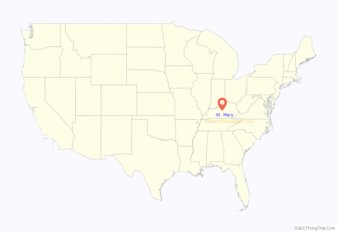
St. Mary location map. Where is St. Mary city?
History
The town was first known as Hardin’s Creek when it was settled by the Hardin family c. 1785. Catholic settlers from “Saint” Charles Co., Maryland, arrived in 1790. Their community was originally known as Saint Charles after their former home and new church.
The first Catholic settlers of the Hardin’s Creek settlement were the brothers Edward Beaven and Charles Beaven from Maryland in 1786, followed by the brothers Mathew, Zachariah, Sylvester, and Jeremiah Cissell.
The community was the birthplace and hometown of George Elder, who – along with William Byrne – later returned from seminary in Maryland to found Saint Mary’s College in 1821. The post office was established in 1858 as Saint Mary’s for the school. The city was incorporated as St. Mary on May 26, 1865. The college closed its doors in 1976.
The city includes historical markers honoring the Sisters of Loretto and St. Mary’s College.
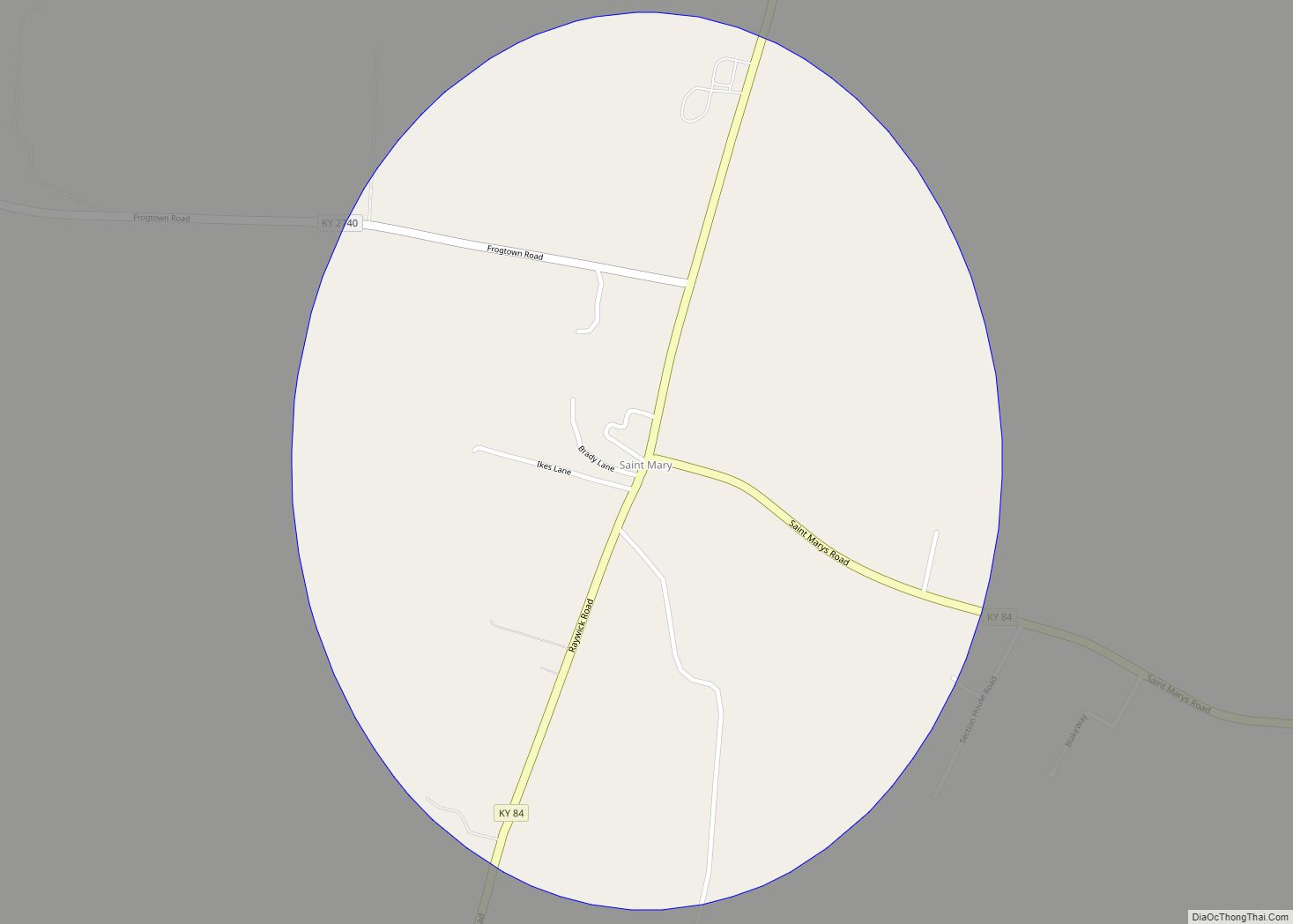
St. Mary Road Map
St. Mary city Satellite Map
Geography
St. Mary is located on Kentucky Route 84 at 37°50′56.6″N 85°20′46.7″W / 37.849056°N 85.346306°W / 37.849056; -85.346306 (37.580711, -85.346291), 5 miles (8 km) west of Lebanon.
According to the U.S. Census Bureau, the city of St. Mary has an area of 0.79 square miles (2.05 km), of which 0.01 square miles (0.03 km), or 0.89%, are water.
See also
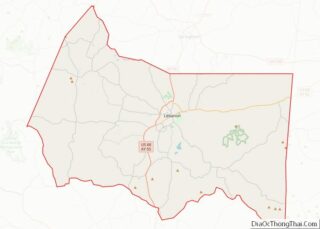
Map of Kentucky State and its subdivision:- Adair
- Allen
- Anderson
- Ballard
- Barren
- Bath
- Bell
- Boone
- Bourbon
- Boyd
- Boyle
- Bracken
- Breathitt
- Breckinridge
- Bullitt
- Butler
- Caldwell
- Calloway
- Campbell
- Carlisle
- Carroll
- Carter
- Casey
- Christian
- Clark
- Clay
- Clinton
- Crittenden
- Cumberland
- Daviess
- Edmonson
- Elliott
- Estill
- Fayette
- Fleming
- Floyd
- Franklin
- Fulton
- Gallatin
- Garrard
- Grant
- Graves
- Grayson
- Green
- Greenup
- Hancock
- Hardin
- Harlan
- Harrison
- Hart
- Henderson
- Henry
- Hickman
- Hopkins
- Jackson
- Jefferson
- Jessamine
- Johnson
- Kenton
- Knott
- Knox
- Larue
- Laurel
- Lawrence
- Lee
- Leslie
- Letcher
- Lewis
- Lincoln
- Livingston
- Logan
- Lyon
- Madison
- Magoffin
- Marion
- Marshall
- Martin
- Mason
- McCracken
- McCreary
- McLean
- Meade
- Menifee
- Mercer
- Metcalfe
- Monroe
- Montgomery
- Morgan
- Muhlenberg
- Nelson
- Nicholas
- Ohio
- Oldham
- Owen
- Owsley
- Pendleton
- Perry
- Pike
- Powell
- Pulaski
- Robertson
- Rockcastle
- Rowan
- Russell
- Scott
- Shelby
- Simpson
- Spencer
- Taylor
- Todd
- Trigg
- Trimble
- Union
- Warren
- Washington
- Wayne
- Webster
- Whitley
- Wolfe
- Woodford
- Alabama
- Alaska
- Arizona
- Arkansas
- California
- Colorado
- Connecticut
- Delaware
- District of Columbia
- Florida
- Georgia
- Hawaii
- Idaho
- Illinois
- Indiana
- Iowa
- Kansas
- Kentucky
- Louisiana
- Maine
- Maryland
- Massachusetts
- Michigan
- Minnesota
- Mississippi
- Missouri
- Montana
- Nebraska
- Nevada
- New Hampshire
- New Jersey
- New Mexico
- New York
- North Carolina
- North Dakota
- Ohio
- Oklahoma
- Oregon
- Pennsylvania
- Rhode Island
- South Carolina
- South Dakota
- Tennessee
- Texas
- Utah
- Vermont
- Virginia
- Washington
- West Virginia
- Wisconsin
- Wyoming
