Westwood is a census-designated place in Boyd County, Kentucky, United States. The population was 4,387at the 2020 census. A suburb of Ashland, the two cities are closely affiliated, sharing a ZIP code and bus system. Westwood is located on a flat to hilly elevation just west of the Ohio River. The flat hilltop is unusual to eastern Kentucky and was created by the preglacial Teays River which existed in ancient times and flowed in the opposite direction of the Ohio River. Westwood is part of the Huntington–Ashland metropolitan area.
| Name: | Westwood CDP |
|---|---|
| LSAD Code: | 57 |
| LSAD Description: | CDP (suffix) |
| State: | Kentucky |
| County: | Boyd County |
| Elevation: | 682 ft (208 m) |
| Total Area: | 3.83 sq mi (9.92 km²) |
| Land Area: | 3.74 sq mi (9.68 km²) |
| Water Area: | 0.10 sq mi (0.25 km²) |
| Total Population: | 4,387 |
| Population Density: | 1,174.25/sq mi (453.33/km²) |
| ZIP code: | 41101 & 41102 |
| Area code: | 606 |
| FIPS code: | 2182146 |
| GNISfeature ID: | 0506507 |
Online Interactive Map
Click on ![]() to view map in "full screen" mode.
to view map in "full screen" mode.
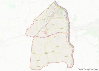
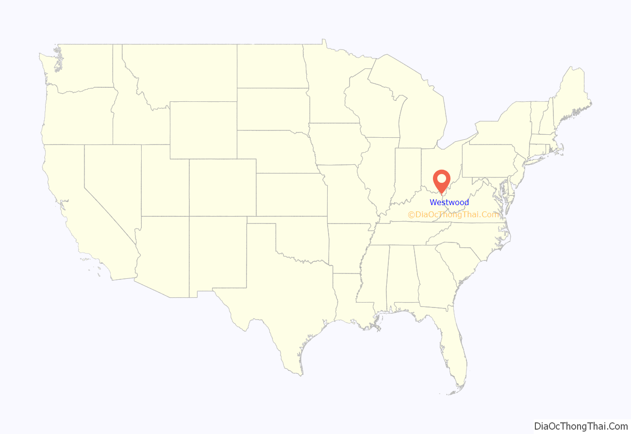
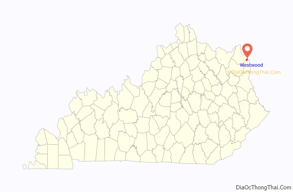
Westwood location map. Where is Westwood CDP?
History
Westwood was developed after 1920 as a planned residential addition to the city of Ashland, but due to its residents’ independence, annexation into the city of Ashland has never occurred. Employees of nearby Armco Steel American Rolling Mill Company, now AK Steel employed the majority of homeowners in Westwood. Development took place from 1920 to 1950, although some additions have been made after that period. As the population of Westwood grew, the community was never incorporated as a city. According to U.S. Census Data, it is one of the largest unincorporated communities in the state of Kentucky.
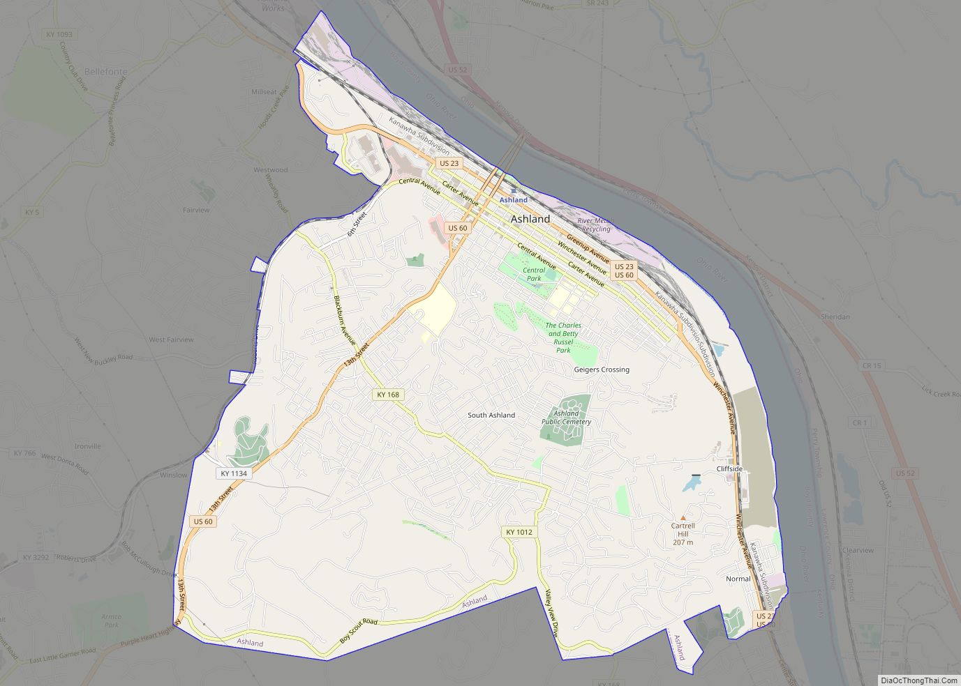
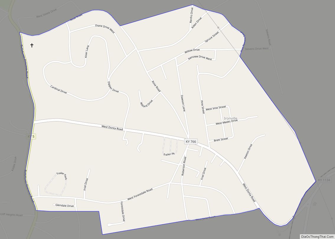
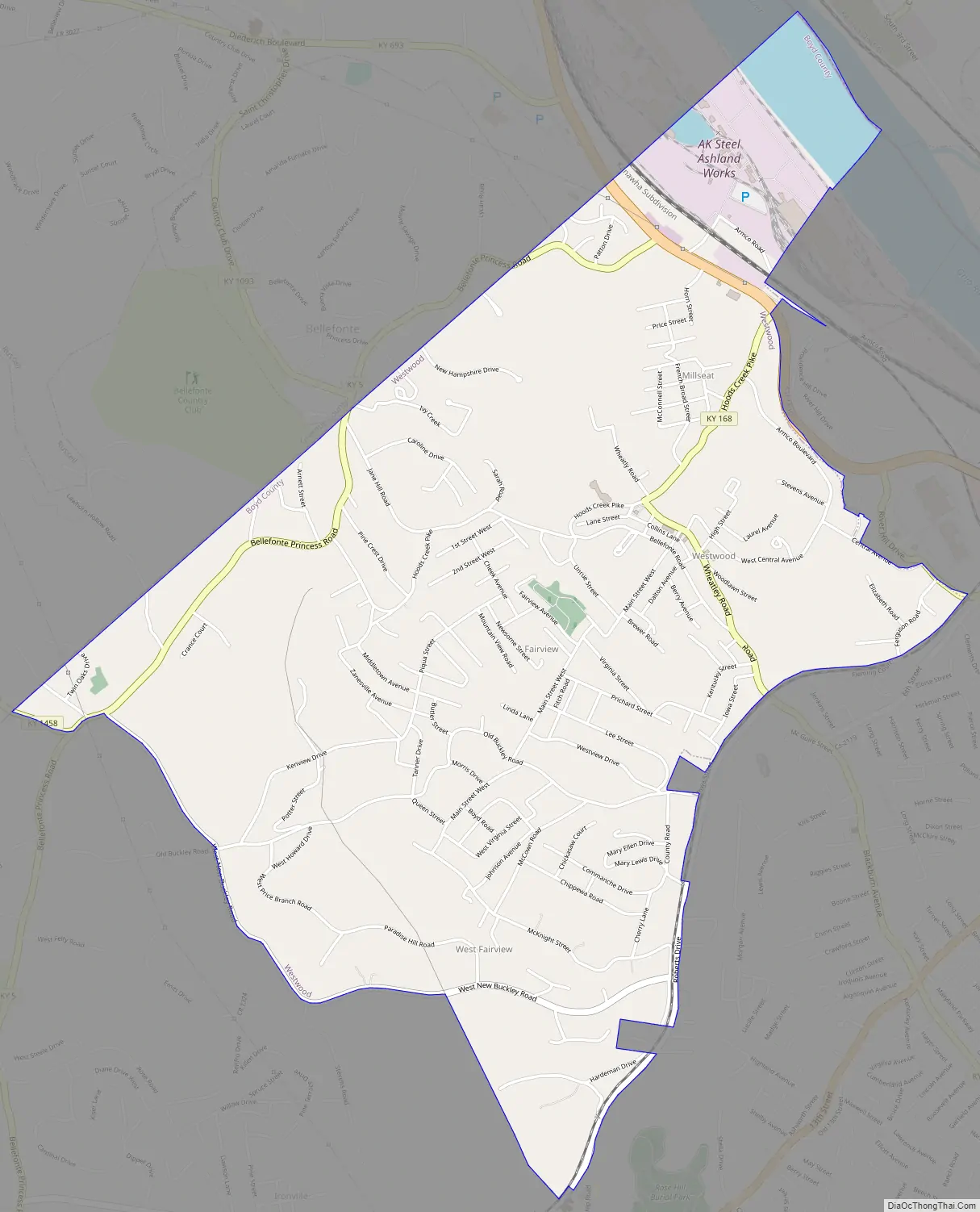
Westwood Road Map
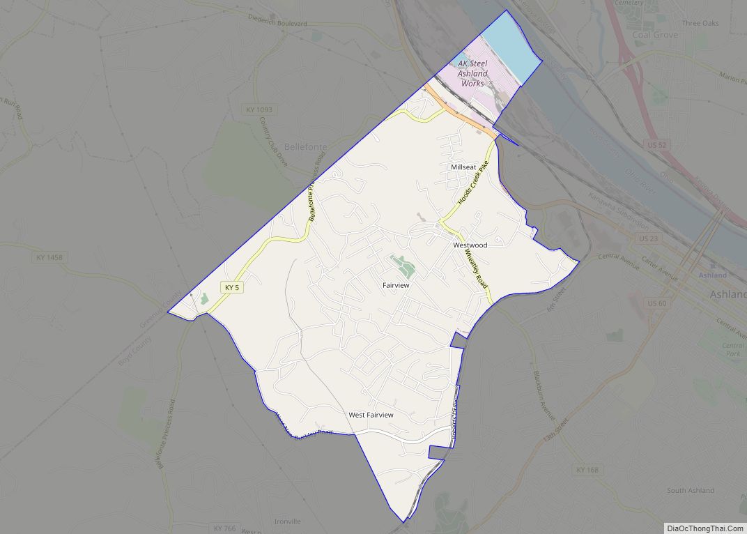
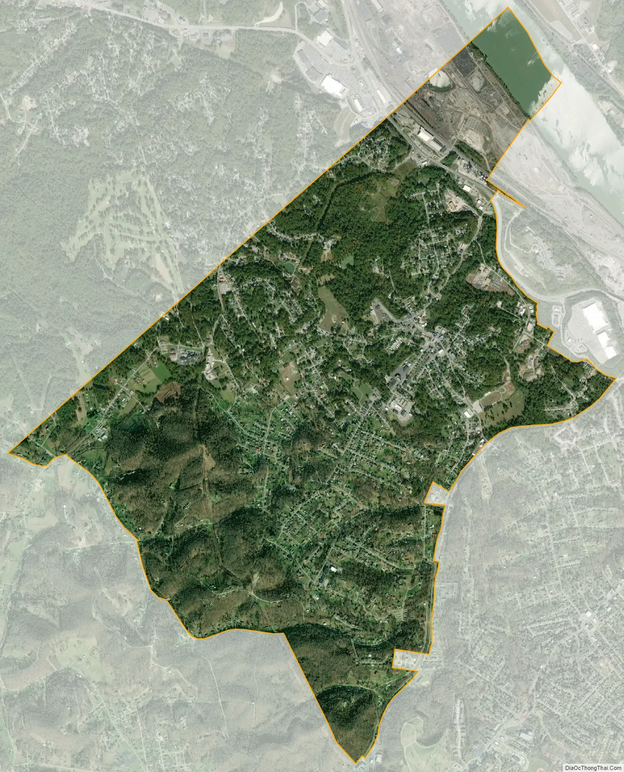
Westwood city Satellite Map
Geography
Westwood is located at 38°28′57″N 82°40′41″W / 38.48250°N 82.67806°W / 38.48250; -82.67806 (38.482422, -82.678028).
According to the United States Census Bureau, the CDP has a total area of 3.8 square miles (9.9 km), of which 3.7 square miles (9.7 km) is land and 0.077 square miles (0.2 km), or 2.48%, is water.
Westwood is located mostly on a flat ridge west of the Ohio River. The southern boundary is the Ashland city limits, and the northern boundary is Hood’s Creek. The flat elevation in which Westwood is located was created by the ancient Teays River. The course of the river was altered due to glacial formations around two million years ago. It resulted in many flat hill tops that are commonly found in Boyd and Greenup counties which are evident on aerial satellite imagery. Outside of this ancient river bed, the terrain is “ridge and valley” as is typical in most of Eastern Kentucky.
See also
Map of Kentucky State and its subdivision:- Adair
- Allen
- Anderson
- Ballard
- Barren
- Bath
- Bell
- Boone
- Bourbon
- Boyd
- Boyle
- Bracken
- Breathitt
- Breckinridge
- Bullitt
- Butler
- Caldwell
- Calloway
- Campbell
- Carlisle
- Carroll
- Carter
- Casey
- Christian
- Clark
- Clay
- Clinton
- Crittenden
- Cumberland
- Daviess
- Edmonson
- Elliott
- Estill
- Fayette
- Fleming
- Floyd
- Franklin
- Fulton
- Gallatin
- Garrard
- Grant
- Graves
- Grayson
- Green
- Greenup
- Hancock
- Hardin
- Harlan
- Harrison
- Hart
- Henderson
- Henry
- Hickman
- Hopkins
- Jackson
- Jefferson
- Jessamine
- Johnson
- Kenton
- Knott
- Knox
- Larue
- Laurel
- Lawrence
- Lee
- Leslie
- Letcher
- Lewis
- Lincoln
- Livingston
- Logan
- Lyon
- Madison
- Magoffin
- Marion
- Marshall
- Martin
- Mason
- McCracken
- McCreary
- McLean
- Meade
- Menifee
- Mercer
- Metcalfe
- Monroe
- Montgomery
- Morgan
- Muhlenberg
- Nelson
- Nicholas
- Ohio
- Oldham
- Owen
- Owsley
- Pendleton
- Perry
- Pike
- Powell
- Pulaski
- Robertson
- Rockcastle
- Rowan
- Russell
- Scott
- Shelby
- Simpson
- Spencer
- Taylor
- Todd
- Trigg
- Trimble
- Union
- Warren
- Washington
- Wayne
- Webster
- Whitley
- Wolfe
- Woodford
- Alabama
- Alaska
- Arizona
- Arkansas
- California
- Colorado
- Connecticut
- Delaware
- District of Columbia
- Florida
- Georgia
- Hawaii
- Idaho
- Illinois
- Indiana
- Iowa
- Kansas
- Kentucky
- Louisiana
- Maine
- Maryland
- Massachusetts
- Michigan
- Minnesota
- Mississippi
- Missouri
- Montana
- Nebraska
- Nevada
- New Hampshire
- New Jersey
- New Mexico
- New York
- North Carolina
- North Dakota
- Ohio
- Oklahoma
- Oregon
- Pennsylvania
- Rhode Island
- South Carolina
- South Dakota
- Tennessee
- Texas
- Utah
- Vermont
- Virginia
- Washington
- West Virginia
- Wisconsin
- Wyoming