Woodburn is a home rule-class city in Warren County, Kentucky, United States. The population was 323 at the 2000 census and 355 at the 2010 census. It is included in the Bowling Green, Kentucky Metropolitan Statistical Area.
| Name: | Woodburn city |
|---|---|
| LSAD Code: | 25 |
| LSAD Description: | city (suffix) |
| State: | Kentucky |
| County: | Warren County |
| Elevation: | 636 ft (194 m) |
| Total Area: | 0.44 sq mi (1.13 km²) |
| Land Area: | 0.43 sq mi (1.12 km²) |
| Water Area: | 0.01 sq mi (0.01 km²) |
| Total Population: | 303 |
| Population Density: | 699.77/sq mi (270.25/km²) |
| ZIP code: | 42170 |
| Area code: | 270 |
| FIPS code: | 2184414 |
| GNISfeature ID: | 0507085 |
Online Interactive Map
Click on ![]() to view map in "full screen" mode.
to view map in "full screen" mode.
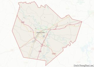
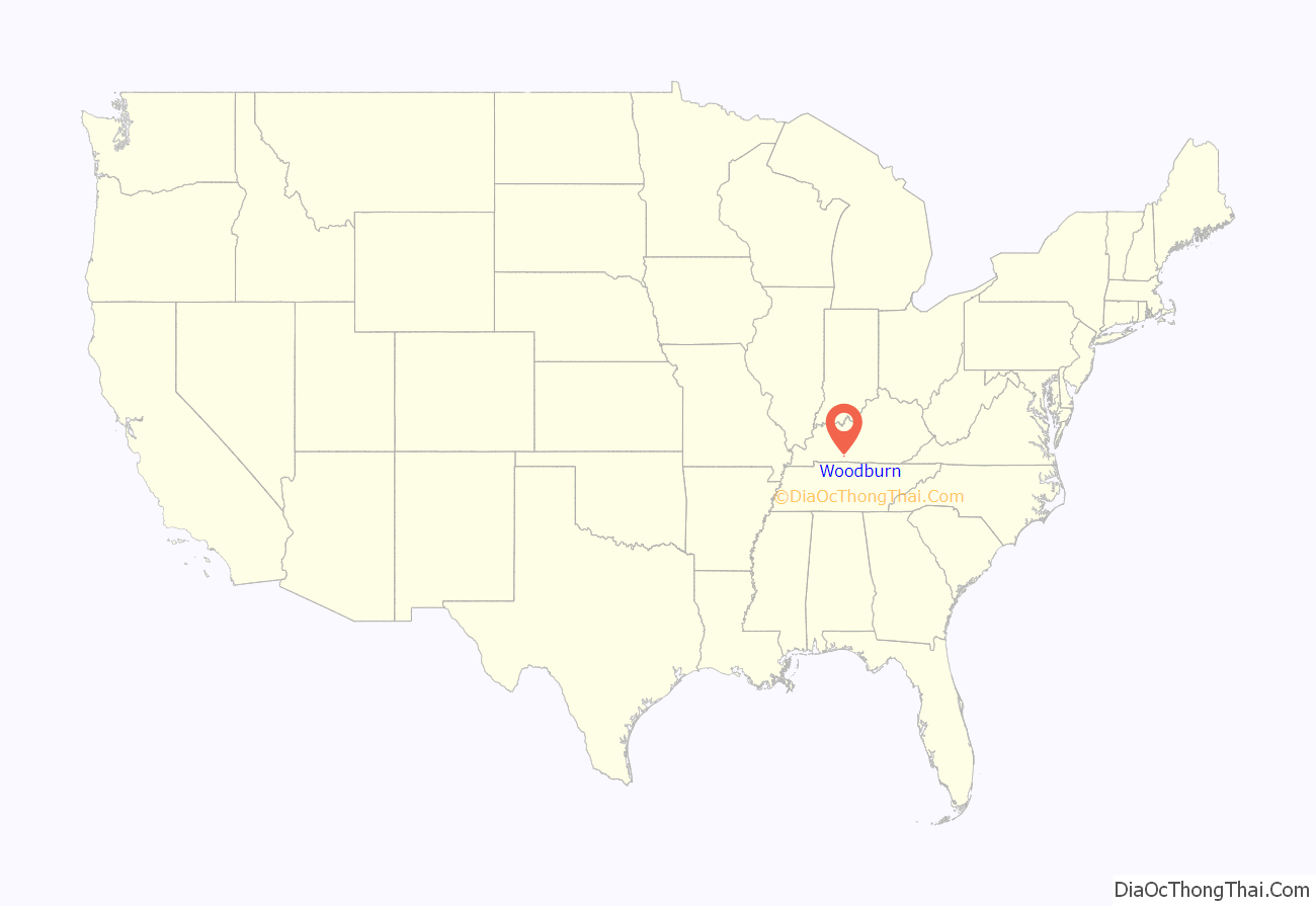
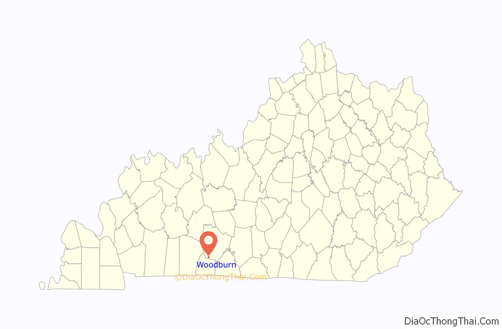
Woodburn location map. Where is Woodburn city?
History
Woodburn began as a hamlet known as “Mason’s Inn,” which served as a stop along the stagecoach road that roughly followed what is now U.S. Route 31W. It is believed to have gotten its current name from a nearby forest that had been destroyed by fire. The L&N established a depot at the site in 1859, initially calling it “New Woodburn,” but reverting simply to “Woodburn” by 1864. A townsite was platted next to the depot in 1865, and the city was incorporated the following year. The oldest grave in the Woodburn Cemetery is dated 1854.
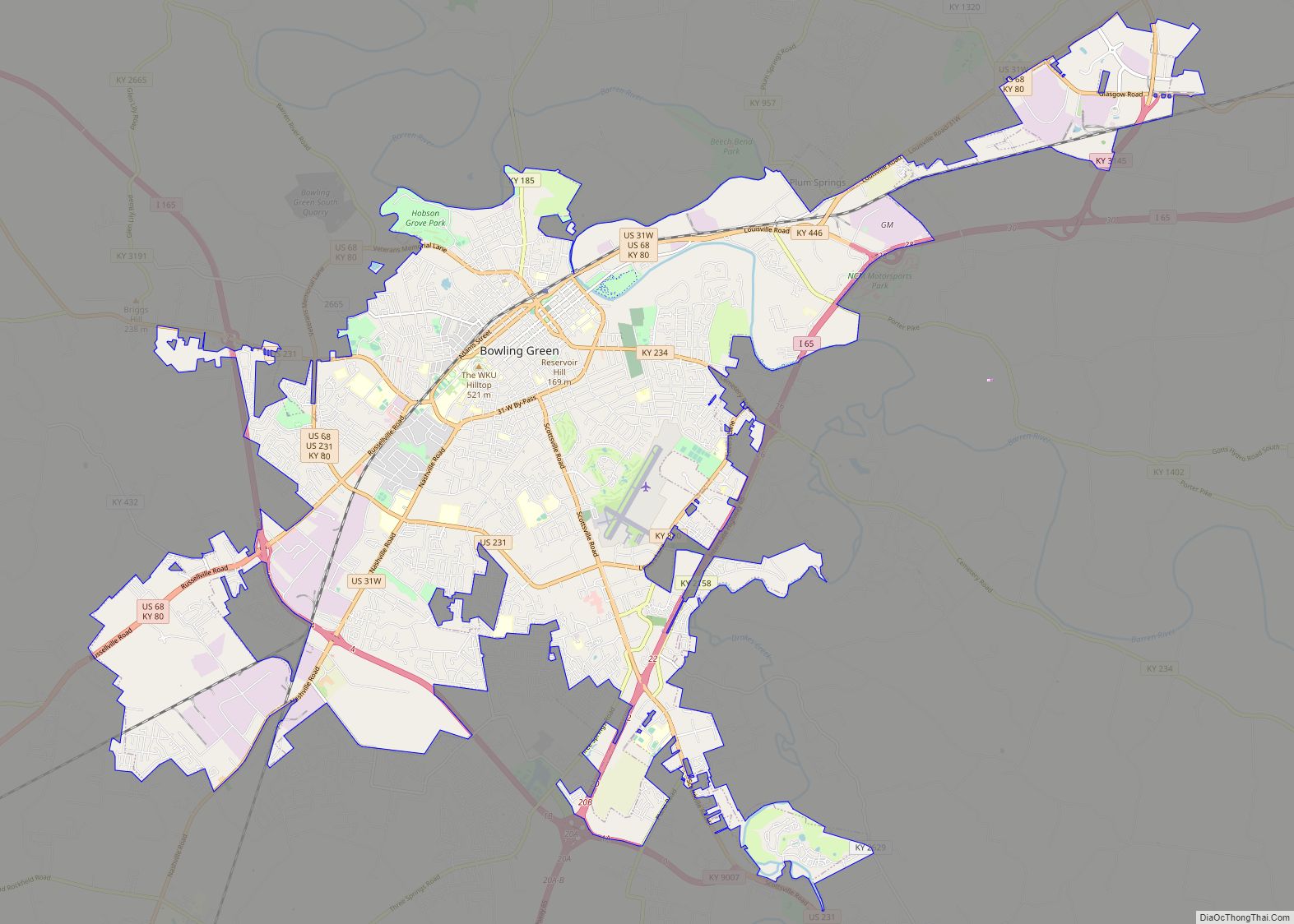
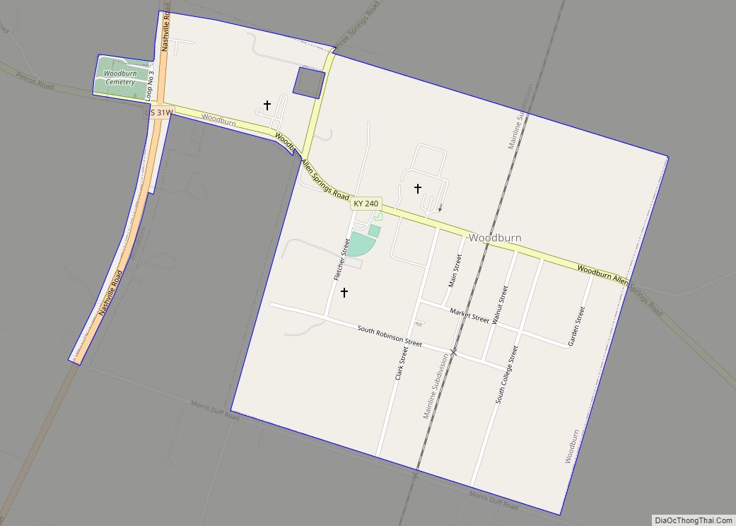
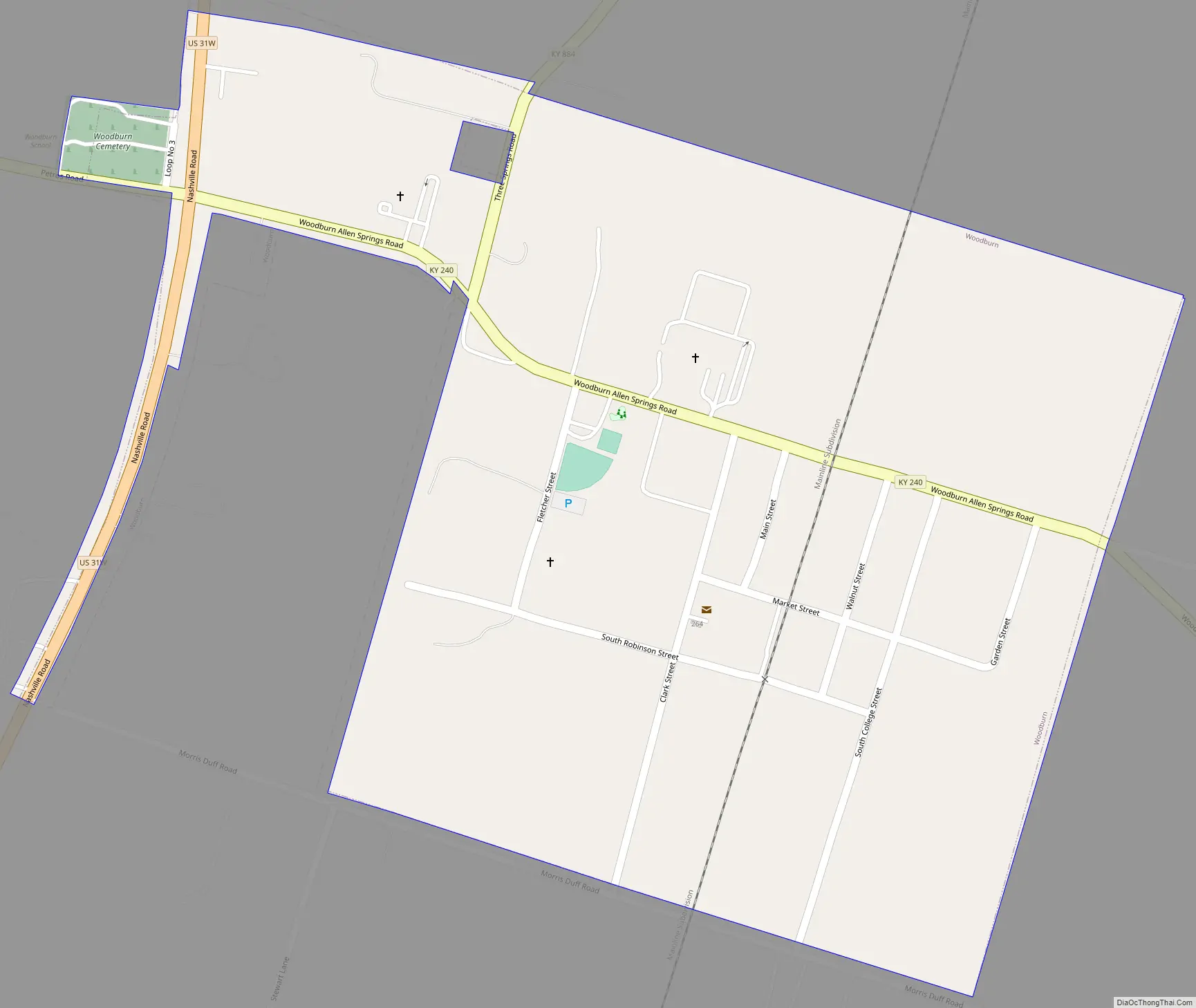
Woodburn Road Map
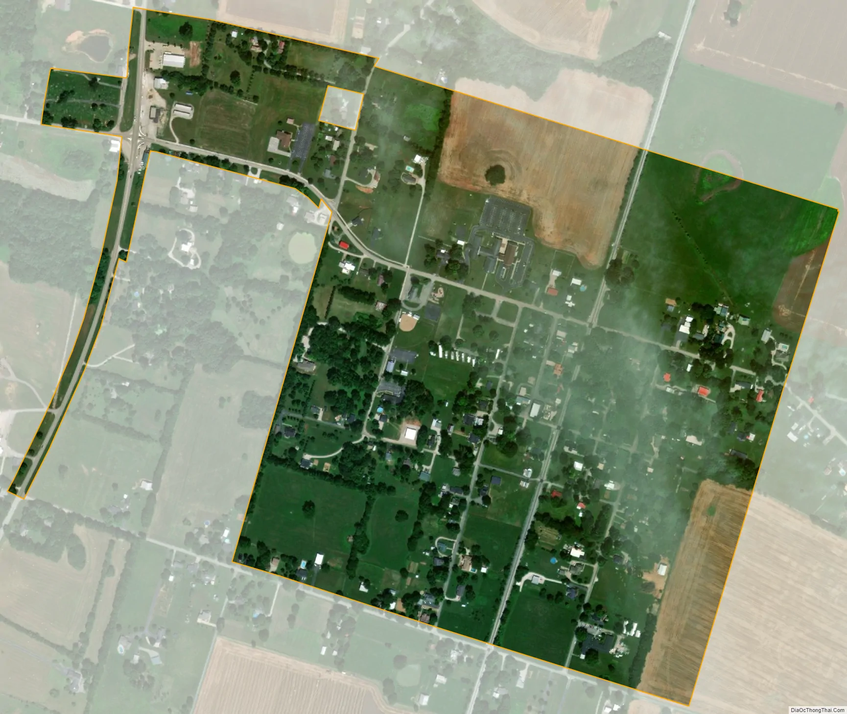
Woodburn city Satellite Map
Geography
Woodburn is located at 36°50′30″N 86°31′52″W / 36.84167°N 86.53111°W / 36.84167; -86.53111 (36.841644, -86.531100). The city is concentrated along Kentucky Route 240 at its junction with U.S. Route 31W and Kentucky Route 884, in southwestern Warren County. Bowling Green lies to the northeast, and Franklin lies to the south.
According to the United States Census Bureau, the city has a total area of 0.4 square miles (1.0 km), all land.
See also
Map of Kentucky State and its subdivision:- Adair
- Allen
- Anderson
- Ballard
- Barren
- Bath
- Bell
- Boone
- Bourbon
- Boyd
- Boyle
- Bracken
- Breathitt
- Breckinridge
- Bullitt
- Butler
- Caldwell
- Calloway
- Campbell
- Carlisle
- Carroll
- Carter
- Casey
- Christian
- Clark
- Clay
- Clinton
- Crittenden
- Cumberland
- Daviess
- Edmonson
- Elliott
- Estill
- Fayette
- Fleming
- Floyd
- Franklin
- Fulton
- Gallatin
- Garrard
- Grant
- Graves
- Grayson
- Green
- Greenup
- Hancock
- Hardin
- Harlan
- Harrison
- Hart
- Henderson
- Henry
- Hickman
- Hopkins
- Jackson
- Jefferson
- Jessamine
- Johnson
- Kenton
- Knott
- Knox
- Larue
- Laurel
- Lawrence
- Lee
- Leslie
- Letcher
- Lewis
- Lincoln
- Livingston
- Logan
- Lyon
- Madison
- Magoffin
- Marion
- Marshall
- Martin
- Mason
- McCracken
- McCreary
- McLean
- Meade
- Menifee
- Mercer
- Metcalfe
- Monroe
- Montgomery
- Morgan
- Muhlenberg
- Nelson
- Nicholas
- Ohio
- Oldham
- Owen
- Owsley
- Pendleton
- Perry
- Pike
- Powell
- Pulaski
- Robertson
- Rockcastle
- Rowan
- Russell
- Scott
- Shelby
- Simpson
- Spencer
- Taylor
- Todd
- Trigg
- Trimble
- Union
- Warren
- Washington
- Wayne
- Webster
- Whitley
- Wolfe
- Woodford
- Alabama
- Alaska
- Arizona
- Arkansas
- California
- Colorado
- Connecticut
- Delaware
- District of Columbia
- Florida
- Georgia
- Hawaii
- Idaho
- Illinois
- Indiana
- Iowa
- Kansas
- Kentucky
- Louisiana
- Maine
- Maryland
- Massachusetts
- Michigan
- Minnesota
- Mississippi
- Missouri
- Montana
- Nebraska
- Nevada
- New Hampshire
- New Jersey
- New Mexico
- New York
- North Carolina
- North Dakota
- Ohio
- Oklahoma
- Oregon
- Pennsylvania
- Rhode Island
- South Carolina
- South Dakota
- Tennessee
- Texas
- Utah
- Vermont
- Virginia
- Washington
- West Virginia
- Wisconsin
- Wyoming