Worthville is a home rule-class city in Carroll County, Kentucky, United States. The population was 185 at the 2010 census.
| Name: | Worthville city |
|---|---|
| LSAD Code: | 25 |
| LSAD Description: | city (suffix) |
| State: | Kentucky |
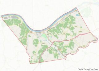
| County: | Carroll County |
| Elevation: | 482 ft (147 m) |
| Total Area: | 0.26 sq mi (0.66 km²) |
| Land Area: | 0.26 sq mi (0.66 km²) |
| Water Area: | 0.00 sq mi (0.00 km²) |
| Total Population: | 181 |
| Population Density: | 709.80/sq mi (273.57/km²) |
| ZIP code: | 41098 |
| Area code: | 502 |
| FIPS code: | 2184900 |
| GNISfeature ID: | 0507155 |
Online Interactive Map
Click on ![]() to view map in "full screen" mode.
to view map in "full screen" mode.
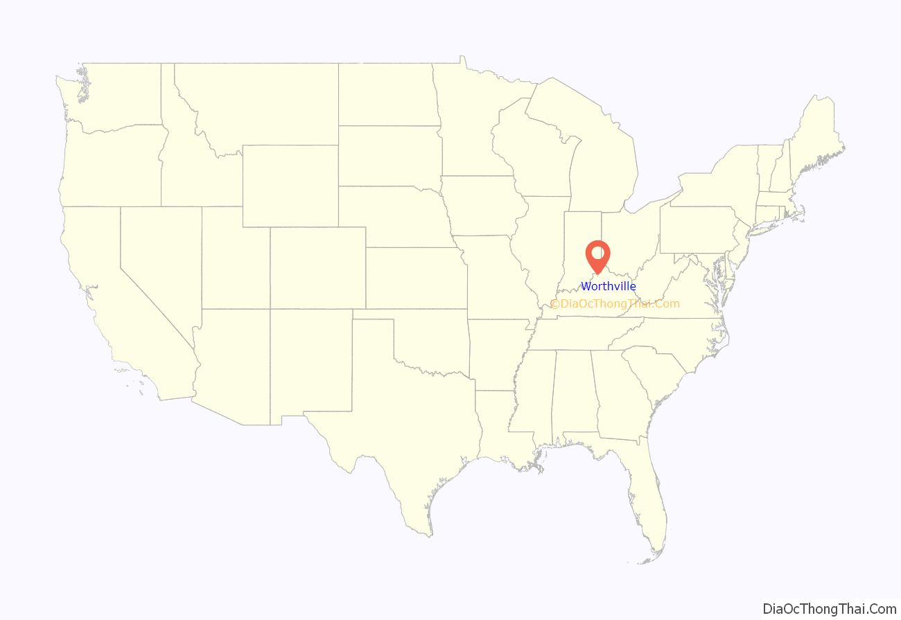
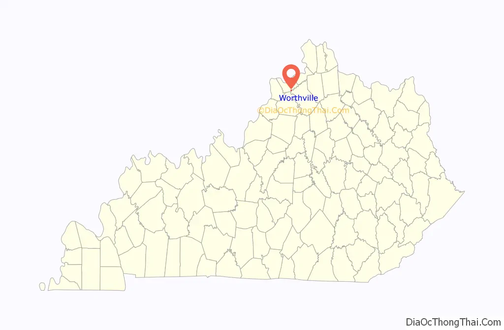
Worthville location map. Where is Worthville city?
History
A post office was established at Worthville in 1847. The community was named for William J. Worth, an American general.
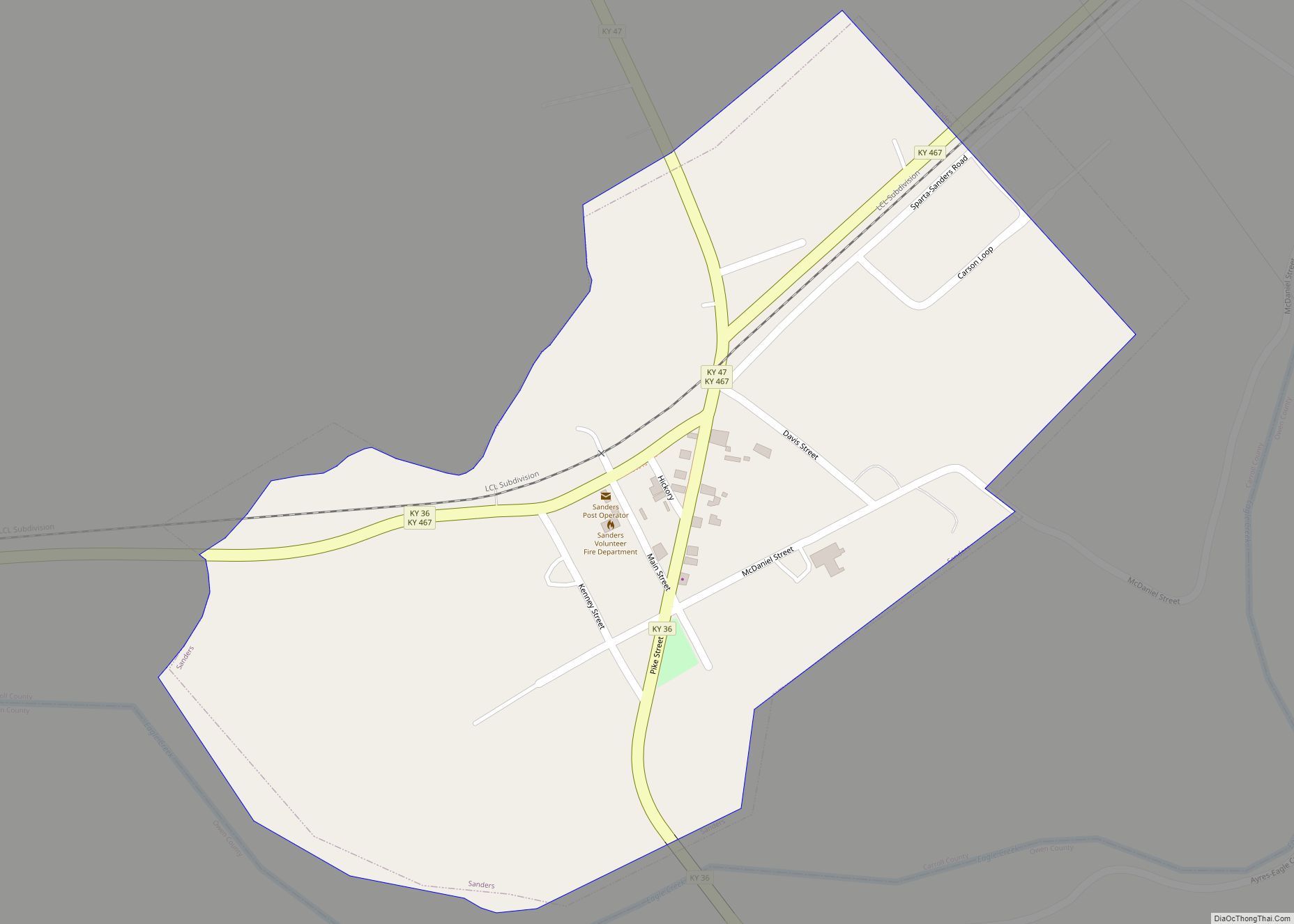
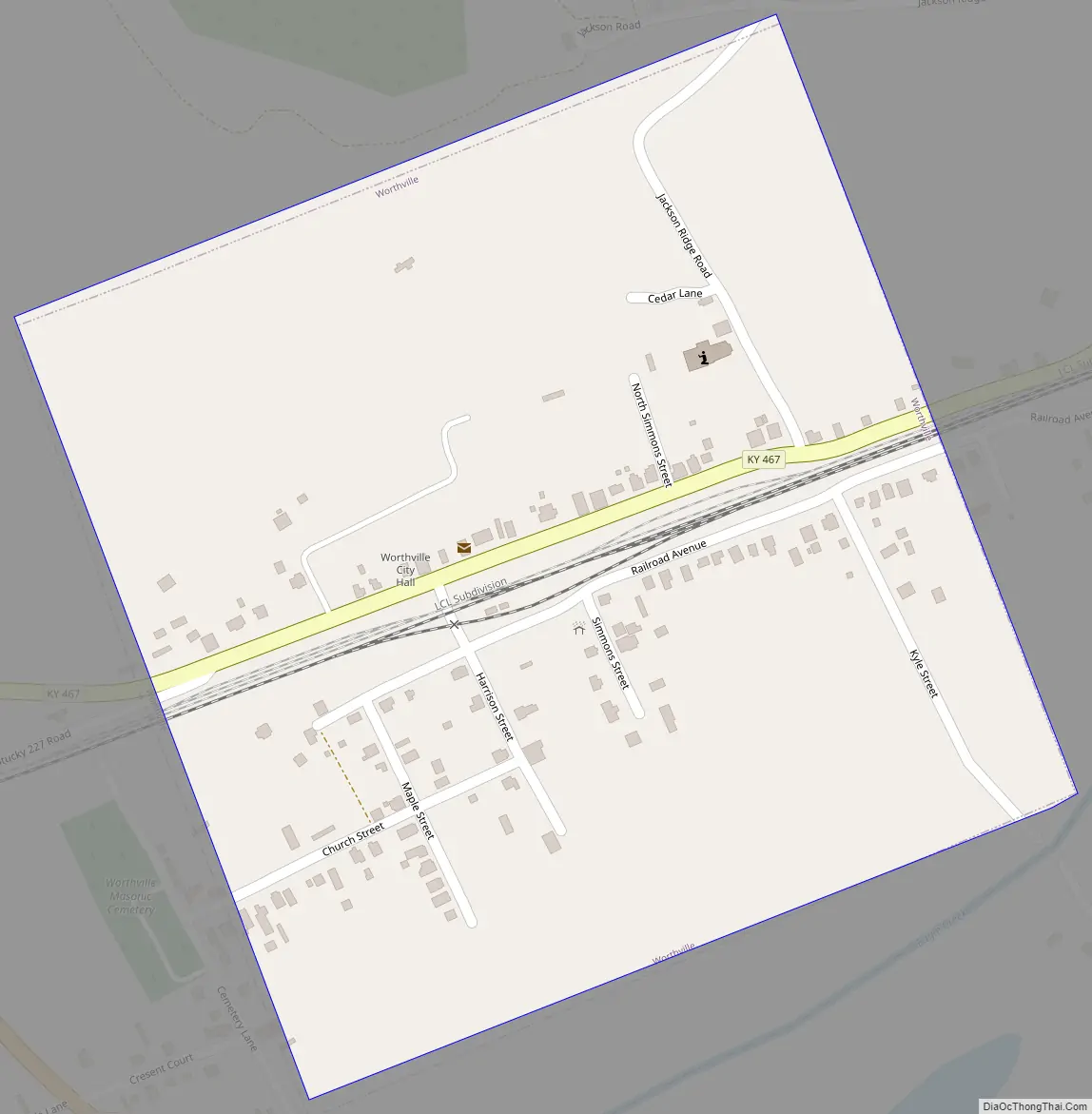
Worthville Road Map
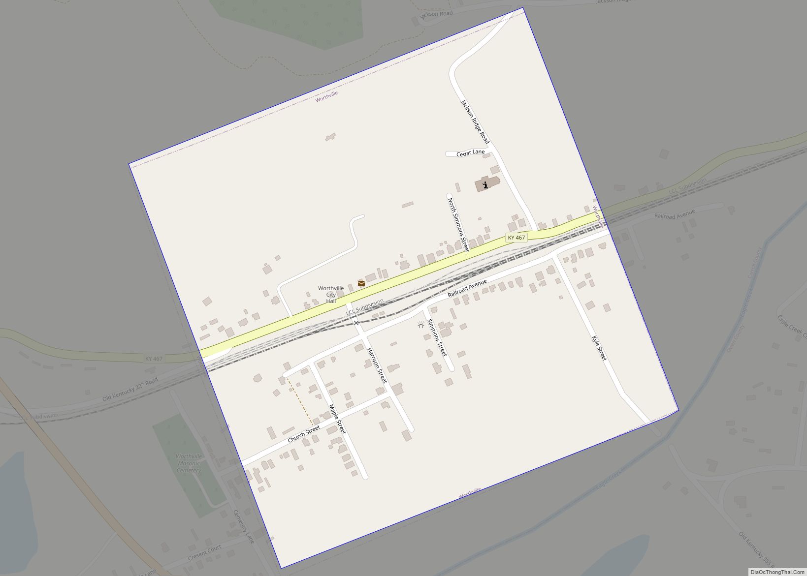
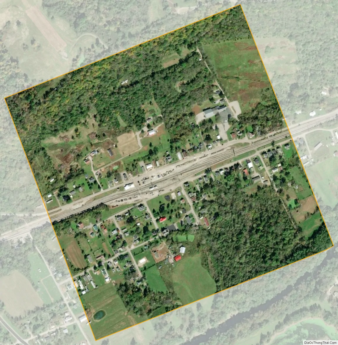
Worthville city Satellite Map
Geography
Worthville is located along the southern boundary of Carroll County at 38°36′33″N 85°4′6″W / 38.60917°N 85.06833°W / 38.60917; -85.06833 (38.609186, -85.068452). Eagle Creek, the county line, flows past the southern border of the town and joins the Kentucky River less than 1 mile (1.6 km) to the southwest. Owen County is to the south across the creek. Exit 44 of Interstate 71 is 4 miles (6 km) to the northwest along Kentucky Route 227, and Carrollton, the county seat, is 8 miles (13 km) to the northwest.
According to the United States Census Bureau, Worthville has a total area of 0.25 square miles (0.66 km), all land.
See also
Map of Kentucky State and its subdivision:- Adair
- Allen
- Anderson
- Ballard
- Barren
- Bath
- Bell
- Boone
- Bourbon
- Boyd
- Boyle
- Bracken
- Breathitt
- Breckinridge
- Bullitt
- Butler
- Caldwell
- Calloway
- Campbell
- Carlisle
- Carroll
- Carter
- Casey
- Christian
- Clark
- Clay
- Clinton
- Crittenden
- Cumberland
- Daviess
- Edmonson
- Elliott
- Estill
- Fayette
- Fleming
- Floyd
- Franklin
- Fulton
- Gallatin
- Garrard
- Grant
- Graves
- Grayson
- Green
- Greenup
- Hancock
- Hardin
- Harlan
- Harrison
- Hart
- Henderson
- Henry
- Hickman
- Hopkins
- Jackson
- Jefferson
- Jessamine
- Johnson
- Kenton
- Knott
- Knox
- Larue
- Laurel
- Lawrence
- Lee
- Leslie
- Letcher
- Lewis
- Lincoln
- Livingston
- Logan
- Lyon
- Madison
- Magoffin
- Marion
- Marshall
- Martin
- Mason
- McCracken
- McCreary
- McLean
- Meade
- Menifee
- Mercer
- Metcalfe
- Monroe
- Montgomery
- Morgan
- Muhlenberg
- Nelson
- Nicholas
- Ohio
- Oldham
- Owen
- Owsley
- Pendleton
- Perry
- Pike
- Powell
- Pulaski
- Robertson
- Rockcastle
- Rowan
- Russell
- Scott
- Shelby
- Simpson
- Spencer
- Taylor
- Todd
- Trigg
- Trimble
- Union
- Warren
- Washington
- Wayne
- Webster
- Whitley
- Wolfe
- Woodford
- Alabama
- Alaska
- Arizona
- Arkansas
- California
- Colorado
- Connecticut
- Delaware
- District of Columbia
- Florida
- Georgia
- Hawaii
- Idaho
- Illinois
- Indiana
- Iowa
- Kansas
- Kentucky
- Louisiana
- Maine
- Maryland
- Massachusetts
- Michigan
- Minnesota
- Mississippi
- Missouri
- Montana
- Nebraska
- Nevada
- New Hampshire
- New Jersey
- New Mexico
- New York
- North Carolina
- North Dakota
- Ohio
- Oklahoma
- Oregon
- Pennsylvania
- Rhode Island
- South Carolina
- South Dakota
- Tennessee
- Texas
- Utah
- Vermont
- Virginia
- Washington
- West Virginia
- Wisconsin
- Wyoming