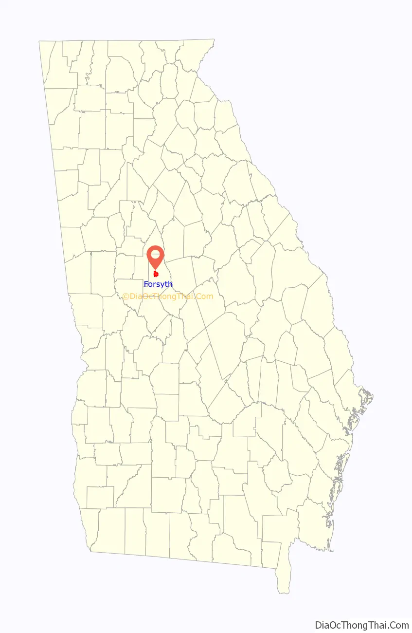
Forsyth is a city in and the county seat of Monroe County, Georgia, United States. The population was 4,384 at the 2020 census, up from 3,788 in 2010. Forsyth is part of the Macon Metropolitan Statistical Area.
The Forsyth Commercial Historic District is listed on the National Register of Historic Places and is a tourist attraction. It includes the Monroe County Courthouse and Courthouse Square as well as the surrounding area, including several examples of 19th-century architecture. Forsyth is also home to the Confederate Cemetery, Tift College, and Rum Creek Wildlife Management Area.
| Name: | Forsyth city |
|---|---|
| LSAD Code: | 25 |
| LSAD Description: | city (suffix) |
| State: | Georgia |
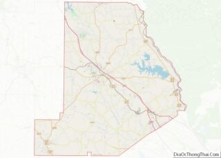
| County: | Monroe County |
| Elevation: | 719 ft (219 m) |
| Total Area: | 5.91 sq mi (15.30 km²) |
| Land Area: | 5.91 sq mi (15.29 km²) |
| Water Area: | 0.00 sq mi (0.01 km²) |
| Total Population: | 4,384 |
| Population Density: | 742.42/sq mi (286.65/km²) |
| ZIP code: | 31029 |
| Area code: | 478 |
| FIPS code: | 1330732 |
| GNISfeature ID: | 0331748 |
| Website: | www.cityofforsyth.com |
Online Interactive Map
Click on ![]() to view map in "full screen" mode.
to view map in "full screen" mode.
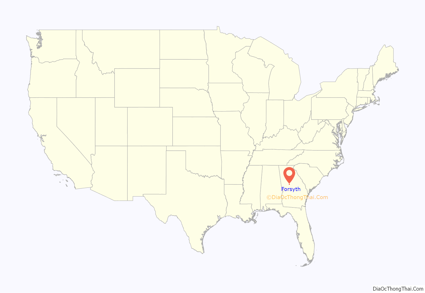
Forsyth location map. Where is Forsyth city?
History
Forsyth was established in 1823. That same year, the seat of Monroe County was transferred to Forsyth from Johnstonville. Forsyth was named for John Forsyth, governor of Georgia from 1827 to 1829 and Secretary of State under presidents Andrew Jackson and Martin Van Buren.
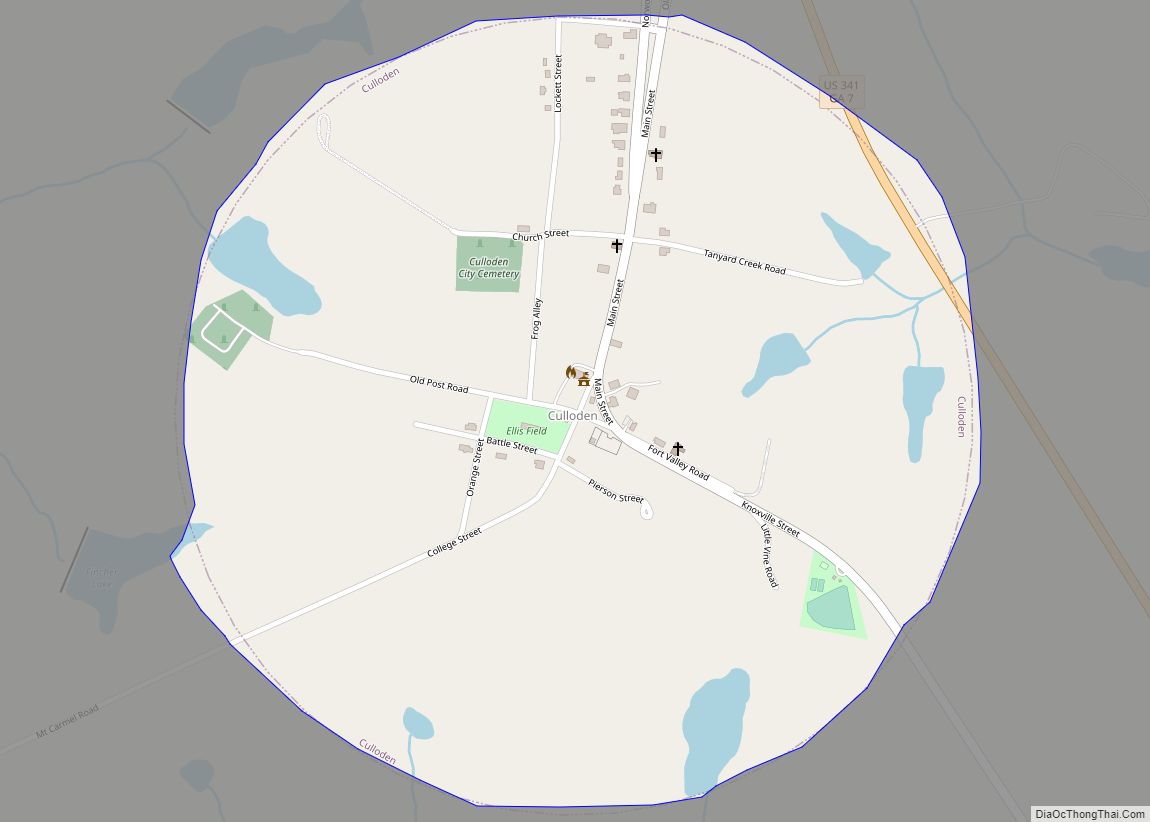
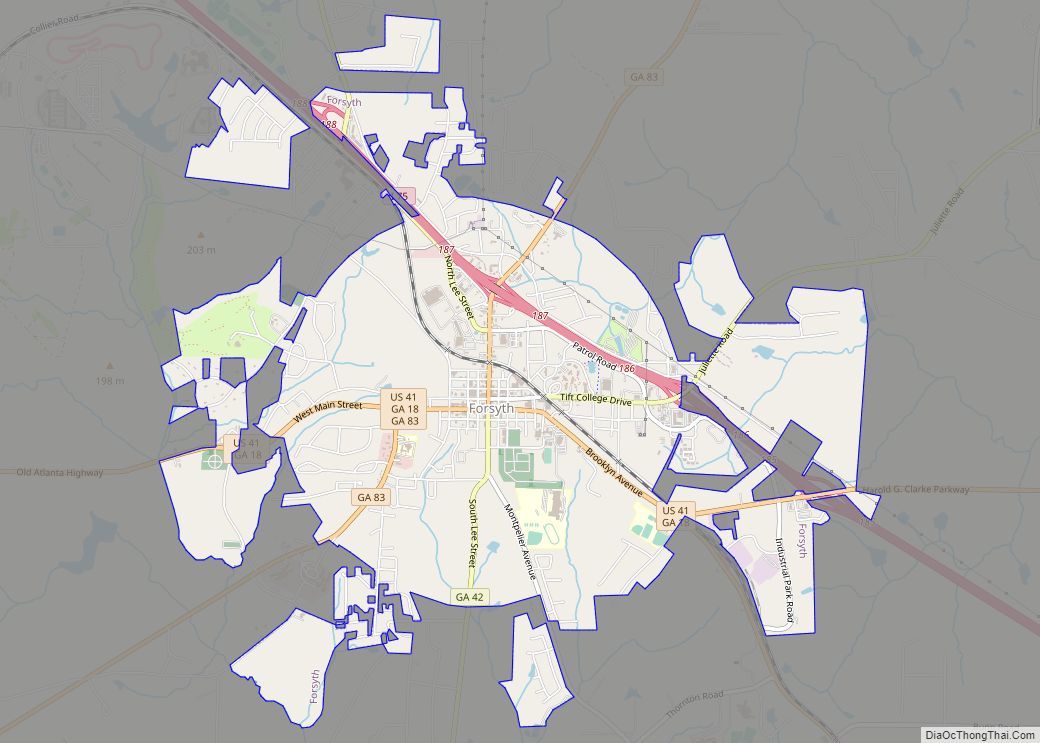
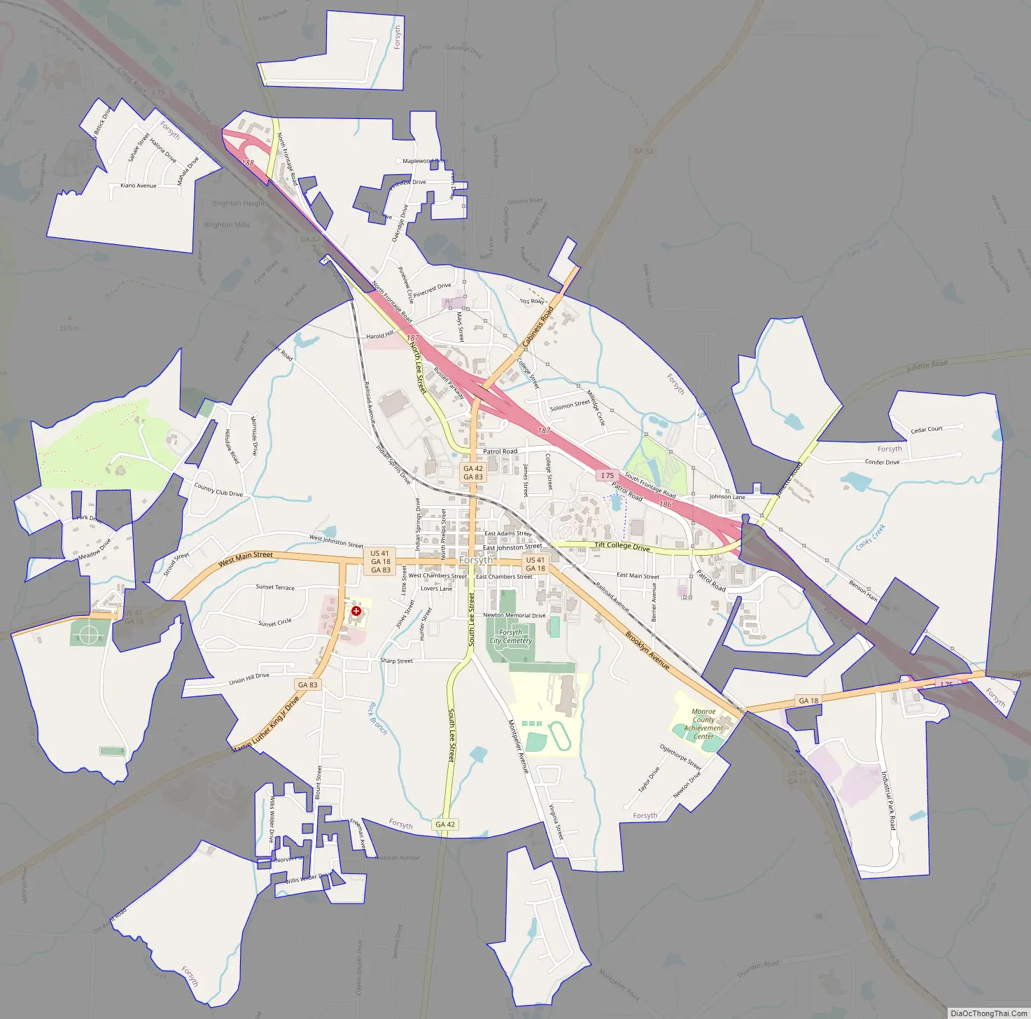
Forsyth Road Map
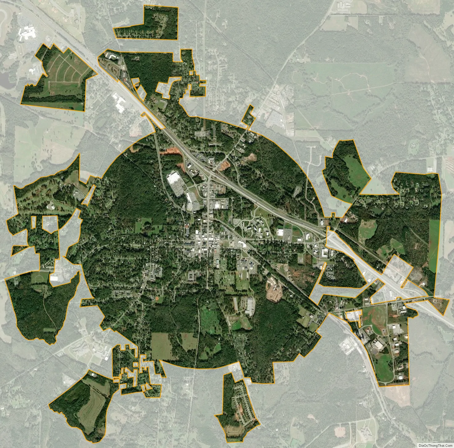
Forsyth city Satellite Map
Geography
Forsyth is located in central Monroe County at 33°02′06″N 83°56′17″W / 33.035108°N 83.938085°W / 33.035108; -83.938085. The city is located along Interstate 75 and U.S. Route 41 northwest of Macon. I-75 runs southeast to northwest through the eastern part of town, with access from exits 185 through 188. The interstate leads southeast 23 miles (37 km) to downtown Macon and northwest 61 miles (98 km) to Atlanta. US 41 runs through the downtown area from east to west, leading southeast to Macon and west 13 miles (21 km) to Barnesville. Other highways that run through the city include Georgia State Routes 18, 42, and 83.
According to the United States Census Bureau, the city of Forsyth has a total area of 9.0 square miles (23 km), of which 0.004 square miles (2.6 acres), or 0.04%, are water. The city sits atop a ridge which drains southwest to tributaries of Tobesofkee Creek and northeast to tributaries of Rum Creek; both creeks are southeast-flowing tributaries of the Ocmulgee River.
See also
Map of Georgia State and its subdivision:- Appling
- Atkinson
- Bacon
- Baker
- Baldwin
- Banks
- Barrow
- Bartow
- Ben Hill
- Berrien
- Bibb
- Bleckley
- Brantley
- Brooks
- Bryan
- Bulloch
- Burke
- Butts
- Calhoun
- Camden
- Candler
- Carroll
- Catoosa
- Charlton
- Chatham
- Chattahoochee
- Chattooga
- Cherokee
- Clarke
- Clay
- Clayton
- Clinch
- Cobb
- Coffee
- Colquitt
- Columbia
- Cook
- Coweta
- Crawford
- Crisp
- Dade
- Dawson
- Decatur
- DeKalb
- Dodge
- Dooly
- Dougherty
- Douglas
- Early
- Echols
- Effingham
- Elbert
- Emanuel
- Evans
- Fannin
- Fayette
- Floyd
- Forsyth
- Franklin
- Fulton
- Gilmer
- Glascock
- Glynn
- Gordon
- Grady
- Greene
- Gwinnett
- Habersham
- Hall
- Hancock
- Haralson
- Harris
- Hart
- Heard
- Henry
- Houston
- Irwin
- Jackson
- Jasper
- Jeff Davis
- Jefferson
- Jenkins
- Johnson
- Jones
- Lamar
- Lanier
- Laurens
- Lee
- Liberty
- Lincoln
- Long
- Lowndes
- Lumpkin
- Macon
- Madison
- Marion
- McDuffie
- McIntosh
- Meriwether
- Miller
- Mitchell
- Monroe
- Montgomery
- Morgan
- Murray
- Muscogee
- Newton
- Oconee
- Oglethorpe
- Paulding
- Peach
- Pickens
- Pierce
- Pike
- Polk
- Pulaski
- Putnam
- Quitman
- Rabun
- Randolph
- Richmond
- Rockdale
- Schley
- Screven
- Seminole
- Spalding
- Stephens
- Stewart
- Sumter
- Talbot
- Taliaferro
- Tattnall
- Taylor
- Telfair
- Terrell
- Thomas
- Tift
- Toombs
- Towns
- Treutlen
- Troup
- Turner
- Twiggs
- Union
- Upson
- Walker
- Walton
- Ware
- Warren
- Washington
- Wayne
- Webster
- Wheeler
- White
- Whitfield
- Wilcox
- Wilkes
- Wilkinson
- Worth
- Alabama
- Alaska
- Arizona
- Arkansas
- California
- Colorado
- Connecticut
- Delaware
- District of Columbia
- Florida
- Georgia
- Hawaii
- Idaho
- Illinois
- Indiana
- Iowa
- Kansas
- Kentucky
- Louisiana
- Maine
- Maryland
- Massachusetts
- Michigan
- Minnesota
- Mississippi
- Missouri
- Montana
- Nebraska
- Nevada
- New Hampshire
- New Jersey
- New Mexico
- New York
- North Carolina
- North Dakota
- Ohio
- Oklahoma
- Oregon
- Pennsylvania
- Rhode Island
- South Carolina
- South Dakota
- Tennessee
- Texas
- Utah
- Vermont
- Virginia
- Washington
- West Virginia
- Wisconsin
- Wyoming