Dyer is a town in St. John Township, Lake County, Indiana, United States. The population was 16,517 at the 2020 census. It is a southeastern suburb of Chicago.
| Name: | Dyer town |
|---|---|
| LSAD Code: | 43 |
| LSAD Description: | town (suffix) |
| State: | Indiana |
| County: | Lake County |
| Incorporated: | January 24, 1910 |
| Elevation: | 640 ft (200 m) |
| Total Area: | 6.18 sq mi (16.00 km²) |
| Land Area: | 6.18 sq mi (16.00 km²) |
| Water Area: | 0.00 sq mi (0.00 km²) |
| Total Population: | 16,517 |
| Population Density: | 2,673.09/sq mi (1,032.10/km²) |
| ZIP code: | 46311 |
| Area code: | 219 |
| FIPS code: | 1819270 |
| GNISfeature ID: | 0433824 |
| Website: | www.townofdyer.com |
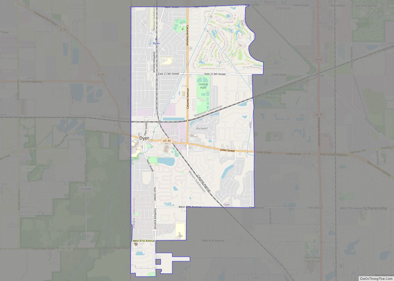
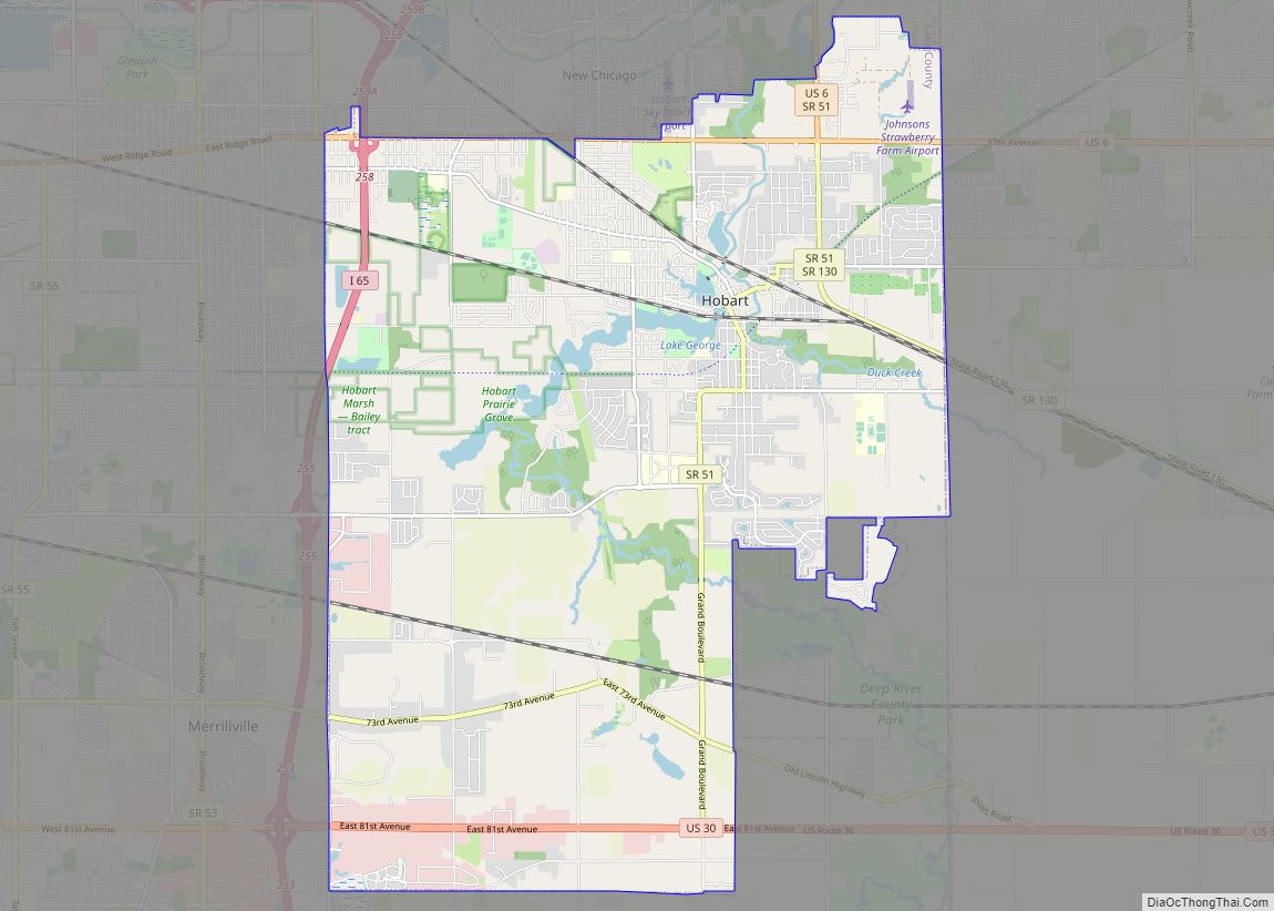
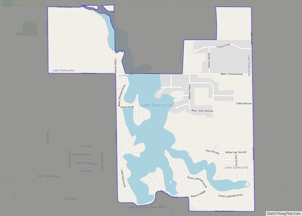
Online Interactive Map
Click on ![]() to view map in "full screen" mode.
to view map in "full screen" mode.
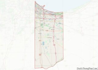
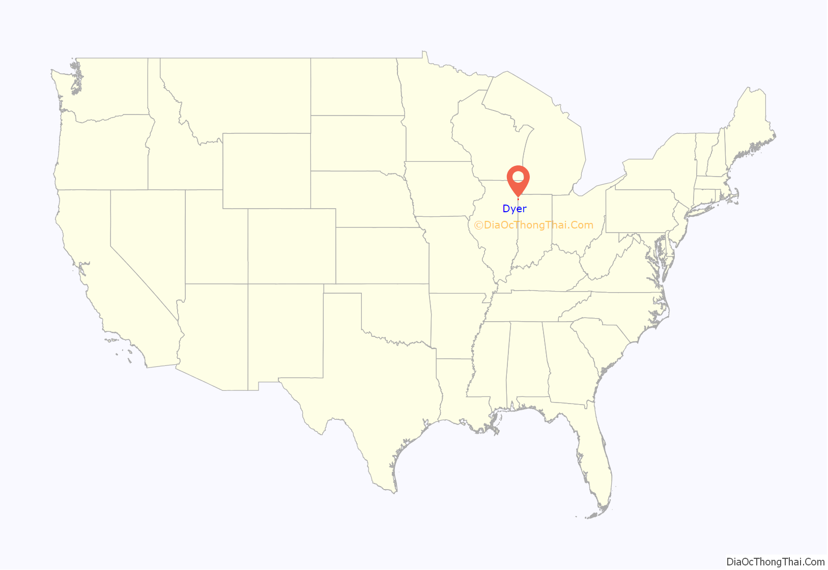
Dyer location map. Where is Dyer town?
History
In 1830, the first permanent white settlers came to Northwest Indiana. The earliest historical records date back to 1838. On June 1, 1855, the original plat of the town was established. Aaron Norton Hart, a settler from Philadelphia, Pennsylvania, played a key role in developing Dyer’s infrastructure in the 1860s and 1870s. Hart supervised construction of roads and the implementation of a drainage ditch system, allowing agricultural and commercial use of the marshy land. Hart was killed in 1883 while working on a ditch near Plum Creek. Hart Street, one of Dyer’s major north–south streets, bears his name. Hart’s wife, Martha Dyer Hart, is the town’s namesake.
Dyer was incorporated as a town under Indiana law on February 8, 1910. Upon incorporation, Dyer was divided into three wards: The first ward consisted of all land within town limits lying west of Hart Street; the second ward comprised the section east of Hart Street and south of Lincoln Highway; the land north of Lincoln Highway and east of Hart Street formed the third ward.
Meyer’s Castle was listed in the National Register of Historic Places in 1984.
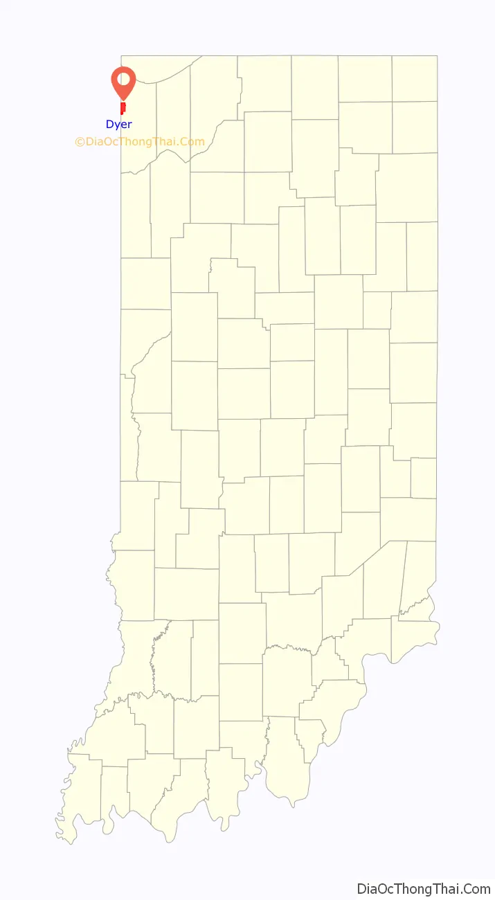
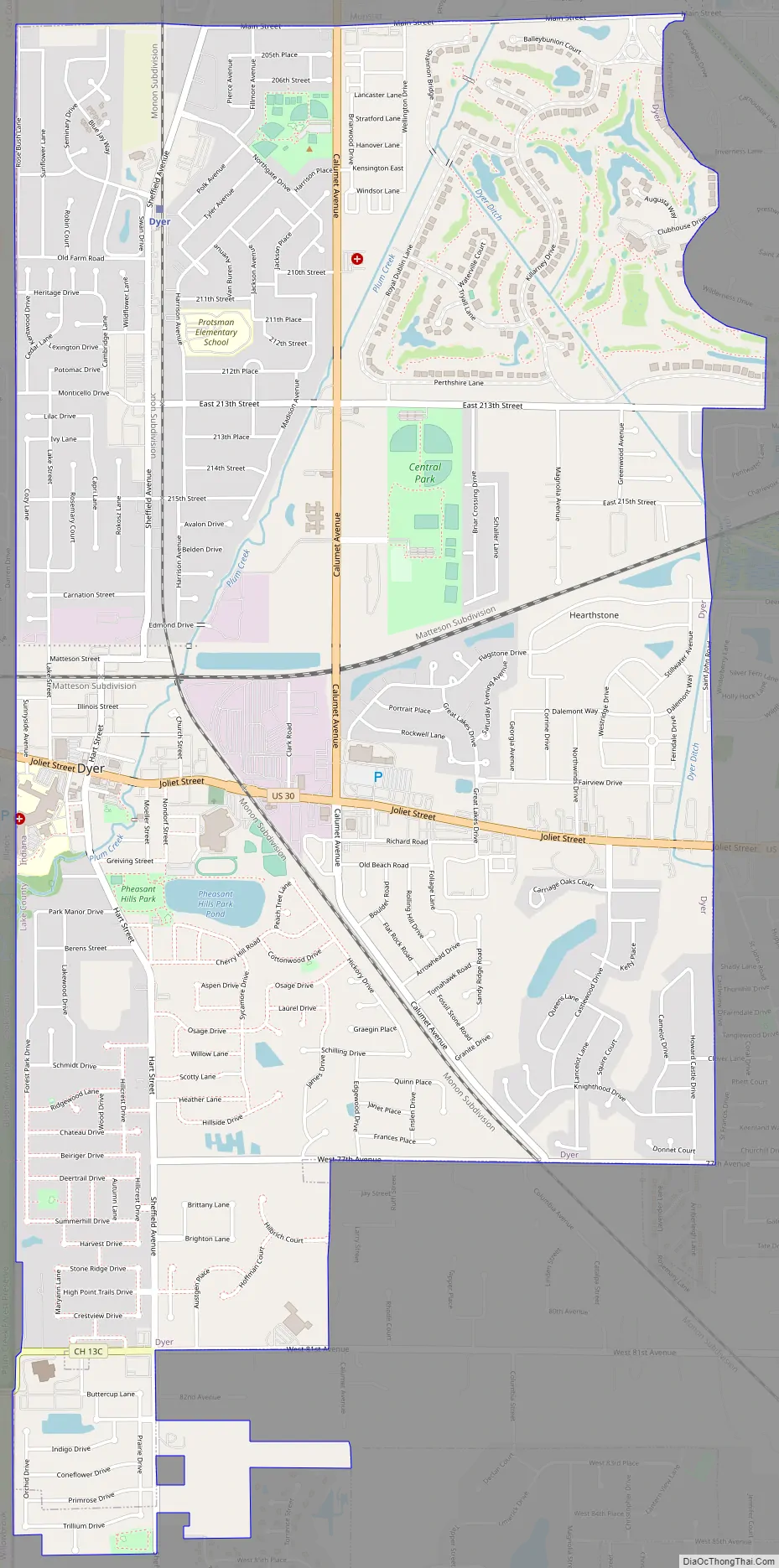
Dyer Road Map
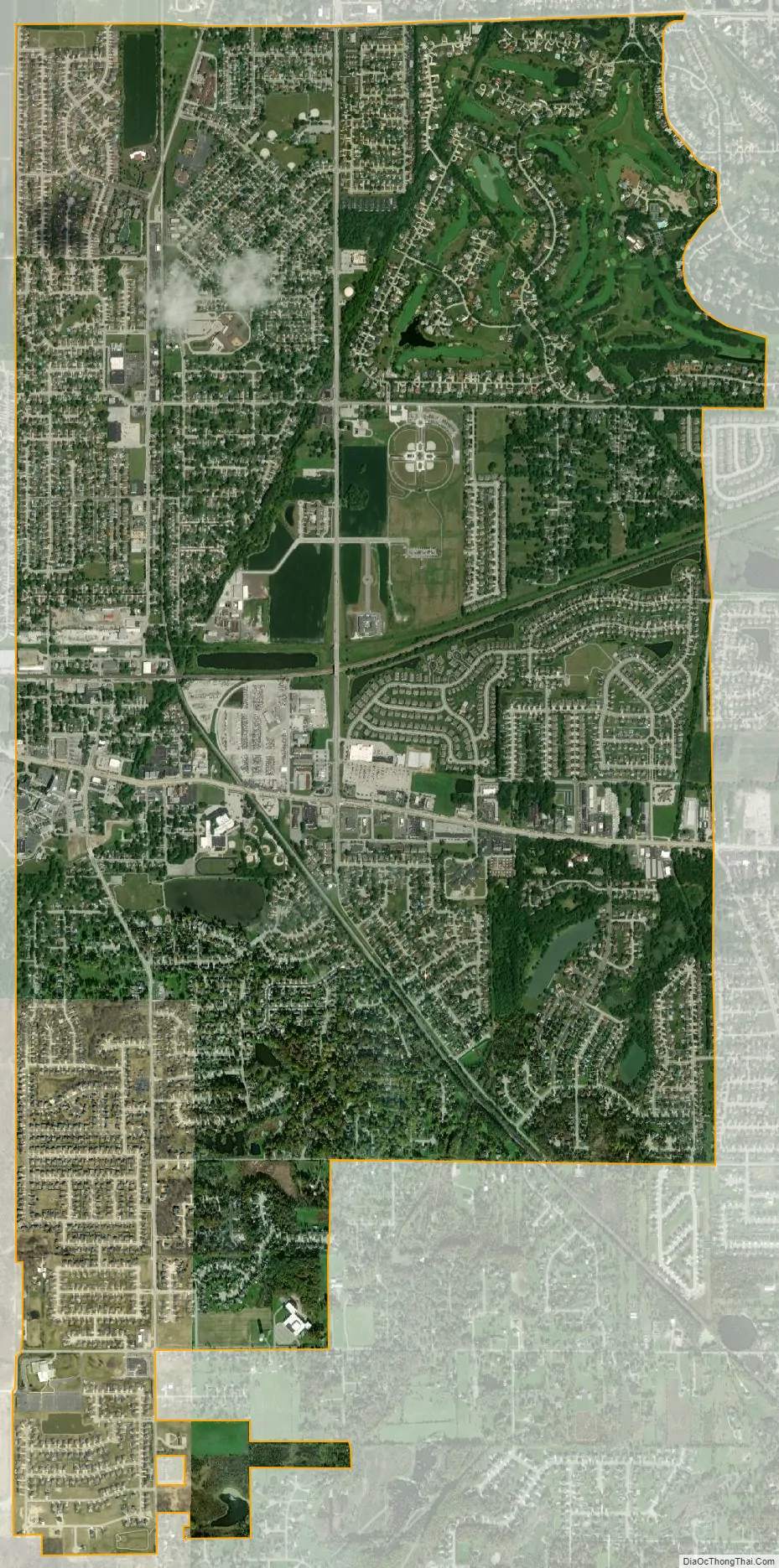
Dyer city Satellite Map
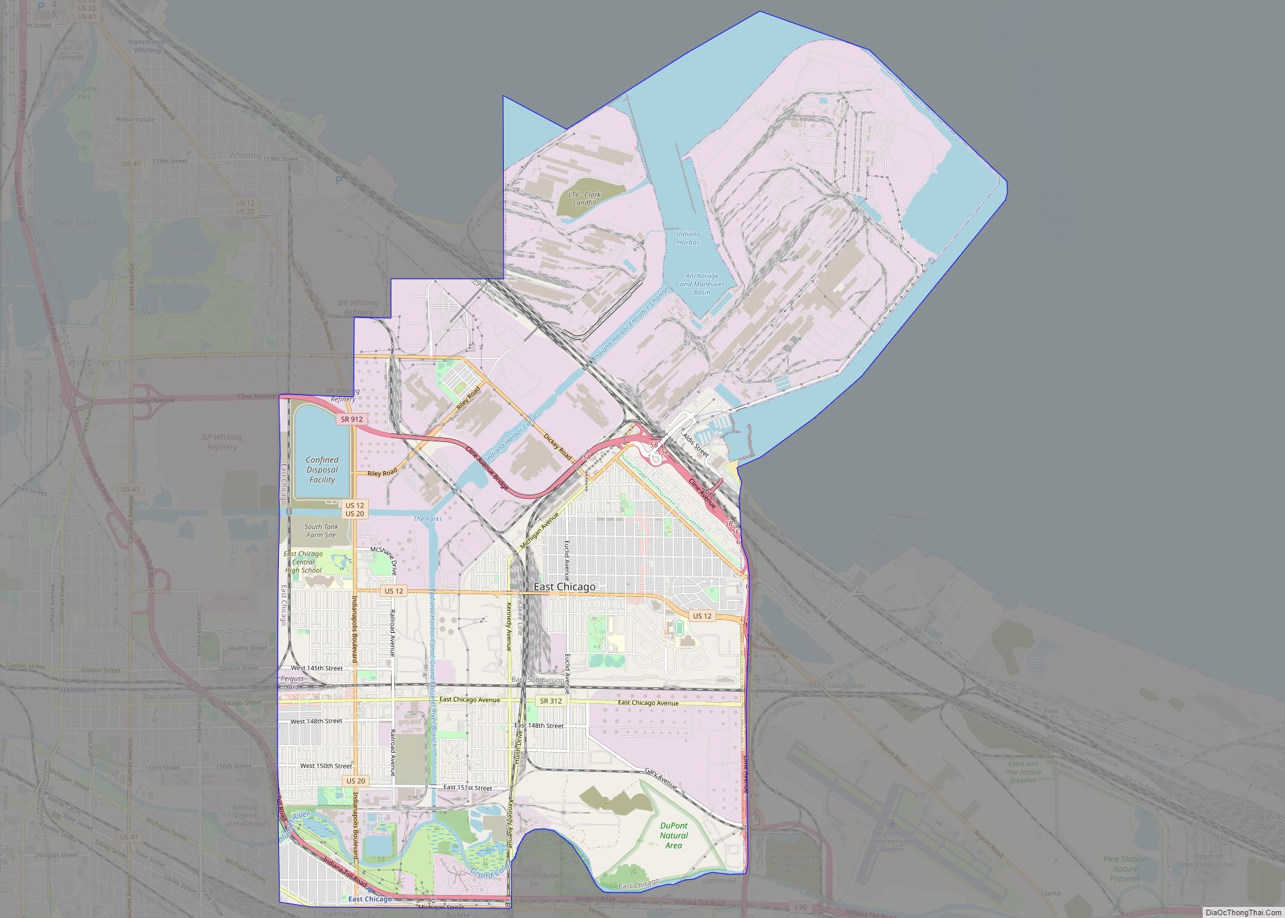
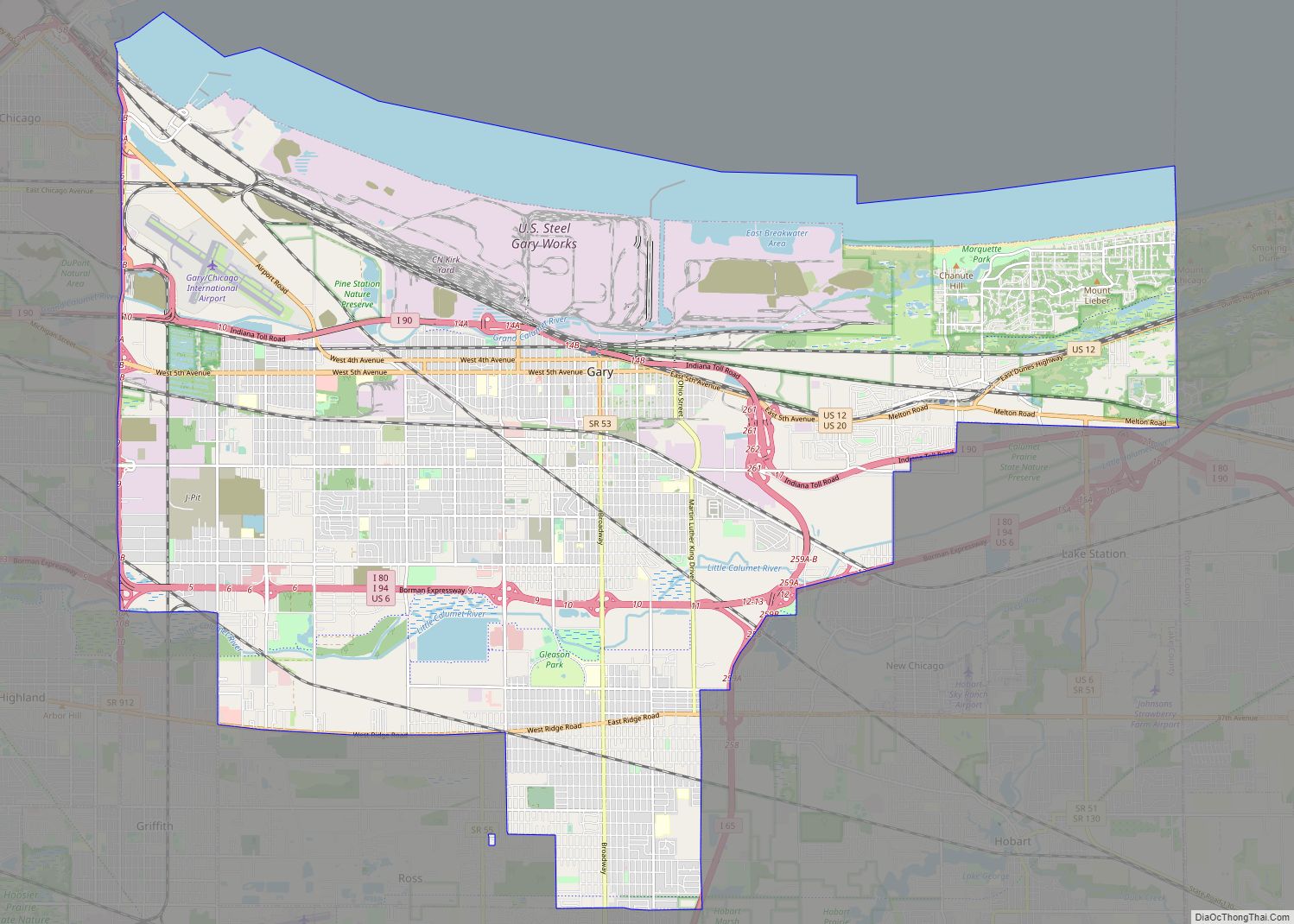
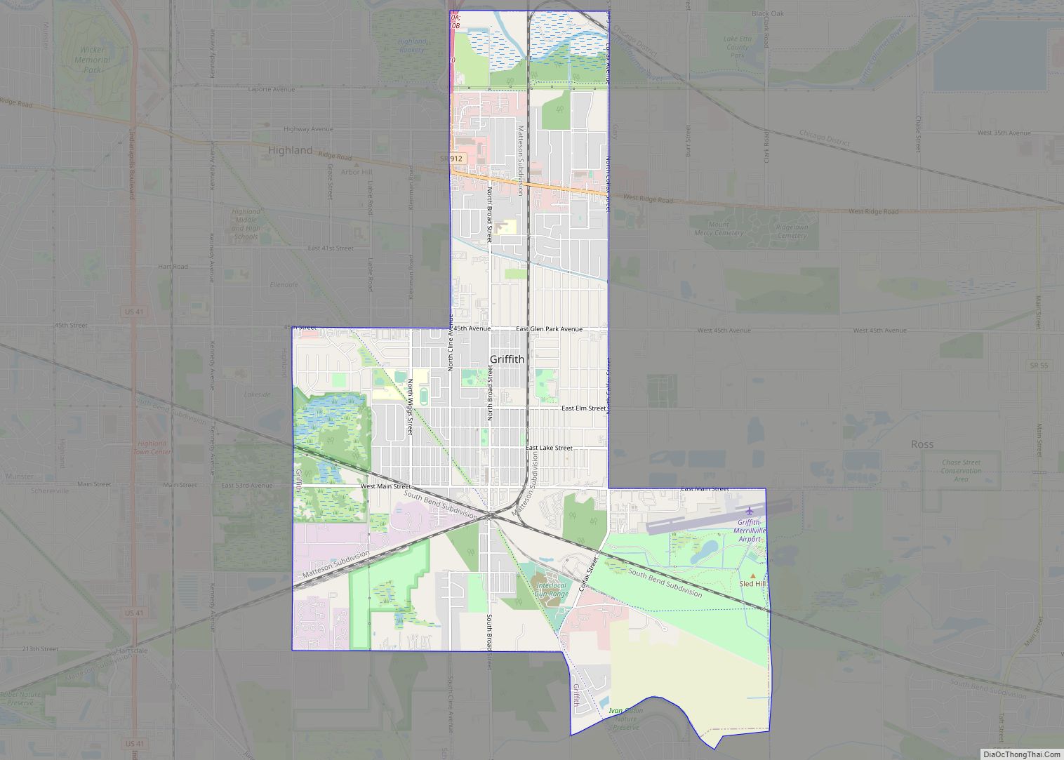
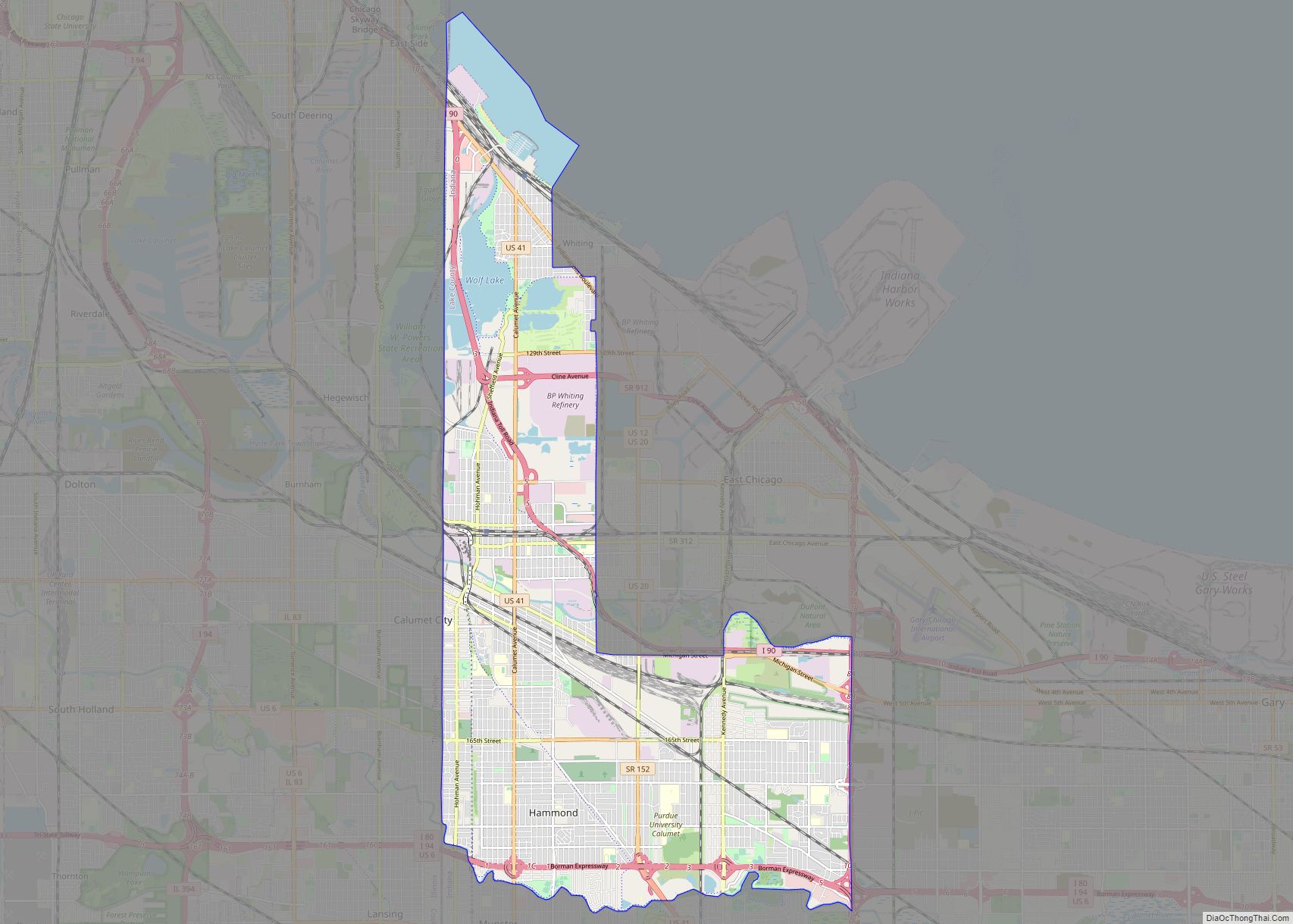
Geography
Dyer borders Munster to the north, unincorporated St. John Township to the south, Schererville to the east, and Lynwood and Sauk Village in Illinois to the west. The Illinois state line comprises Dyer’s entire western border. One of Dyer’s neighborhoods, Briar Ridge, spans both Dyer and adjacent Schererville. Dyer is roughly 30 miles from downtown Chicago and 12 miles from Chicago’s south side.
Dyer is built on mostly flat land with an exception being the steep sand ridge south of US Highway 30. This is the Glenwood Shoreline.
According to the 2010 census, Dyer has a total area of 6.1 square miles (15.80 km), all land.
See also
Map of Indiana State and its subdivision:- Adams
- Allen
- Bartholomew
- Benton
- Blackford
- Boone
- Brown
- Carroll
- Cass
- Clark
- Clay
- Clinton
- Crawford
- Daviess
- De Kalb
- Dearborn
- Decatur
- Delaware
- Dubois
- Elkhart
- Fayette
- Floyd
- Fountain
- Franklin
- Fulton
- Gibson
- Grant
- Greene
- Hamilton
- Hancock
- Harrison
- Hendricks
- Henry
- Howard
- Huntington
- Jackson
- Jasper
- Jay
- Jefferson
- Jennings
- Johnson
- Knox
- Kosciusko
- LaGrange
- Lake
- Lake Michigan
- LaPorte
- Lawrence
- Madison
- Marion
- Marshall
- Martin
- Miami
- Monroe
- Montgomery
- Morgan
- Newton
- Noble
- Ohio
- Orange
- Owen
- Parke
- Perry
- Pike
- Porter
- Posey
- Pulaski
- Putnam
- Randolph
- Ripley
- Rush
- Saint Joseph
- Scott
- Shelby
- Spencer
- Starke
- Steuben
- Sullivan
- Switzerland
- Tippecanoe
- Tipton
- Union
- Vanderburgh
- Vermillion
- Vigo
- Wabash
- Warren
- Warrick
- Washington
- Wayne
- Wells
- White
- Whitley
- Alabama
- Alaska
- Arizona
- Arkansas
- California
- Colorado
- Connecticut
- Delaware
- District of Columbia
- Florida
- Georgia
- Hawaii
- Idaho
- Illinois
- Indiana
- Iowa
- Kansas
- Kentucky
- Louisiana
- Maine
- Maryland
- Massachusetts
- Michigan
- Minnesota
- Mississippi
- Missouri
- Montana
- Nebraska
- Nevada
- New Hampshire
- New Jersey
- New Mexico
- New York
- North Carolina
- North Dakota
- Ohio
- Oklahoma
- Oregon
- Pennsylvania
- Rhode Island
- South Carolina
- South Dakota
- Tennessee
- Texas
- Utah
- Vermont
- Virginia
- Washington
- West Virginia
- Wisconsin
- Wyoming