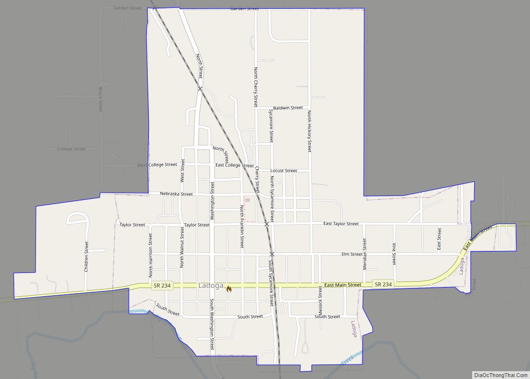
Ladoga is a town in Clark Township, Montgomery County, in the U.S. state of Indiana. The population was 1,081 at the 2020 census, up from 985 in 2010.
| Name: | Ladoga town |
|---|---|
| LSAD Code: | 43 |
| LSAD Description: | town (suffix) |
| State: | Indiana |
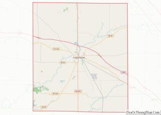
| County: | Montgomery County |
| Elevation: | 823 ft (251 m) |
| Total Area: | 0.54 sq mi (1.39 km²) |
| Land Area: | 0.54 sq mi (1.39 km²) |
| Water Area: | 0.00 sq mi (0.00 km²) |
| Total Population: | 1,081 |
| Population Density: | 2,013.04/sq mi (777.28/km²) |
| ZIP code: | 47954 |
| Area code: | 765 |
| FIPS code: | 1840698 |
| GNISfeature ID: | 437497 |
| Website: | www.townofladoga.org |
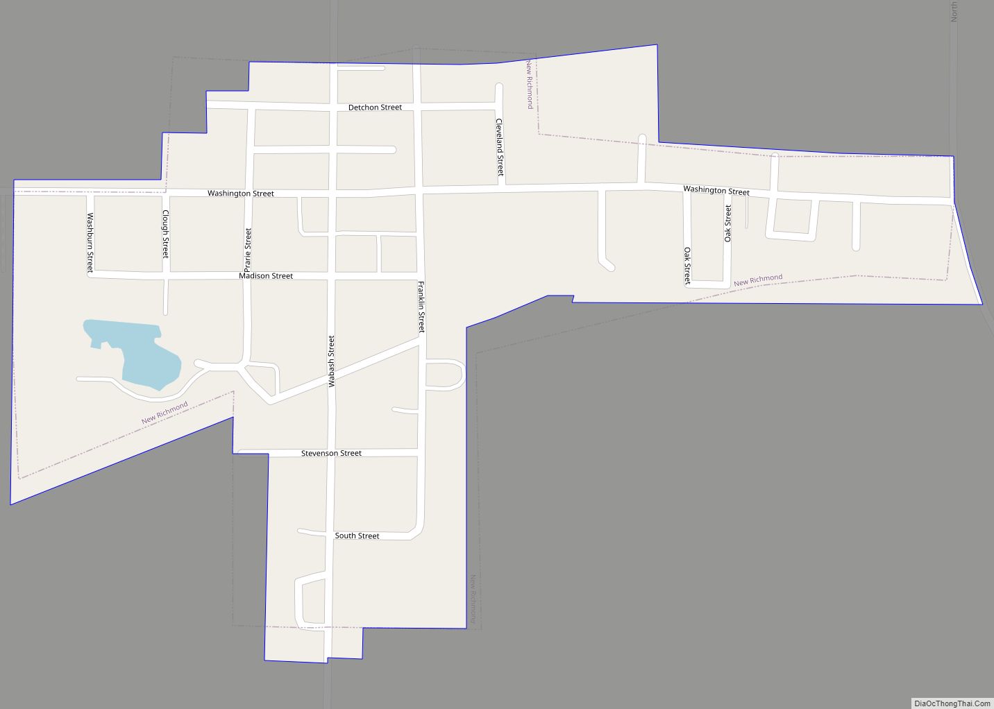
Online Interactive Map
Click on ![]() to view map in "full screen" mode.
to view map in "full screen" mode.
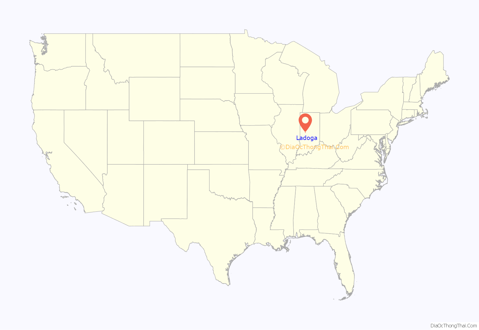
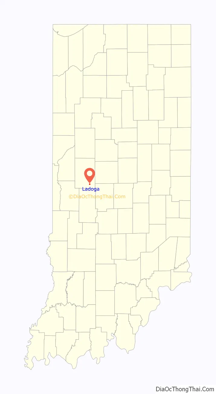
Ladoga location map. Where is Ladoga town?
History
Ladoga was platted in 1836 by John Myers. Myers invited his friends to help him find a name. He required that the name not end in -burg or -ville and that it would not be named after another town. He chose “Ladoga” after finding Lake Ladoga on a map of Russia. In 1837, the town’s post office was established, which still operates today.
In 1840 there were fifteen buildings in Ladoga, including two large stores selling general merchandise — one owned by Taylor Webster and one owned by William Nofsinger. By 1848, there were thirty families living in the town. The Haw Creek Academy was built two miles south of Ladoga in 1838 by the Christian Church. In 1855, the Ladoga Female Seminary was established by the Baptist Church, which quickly decided to allow male students, and shortly afterward the Ladoga Male Academy was established, which soon allowed female students. (Both decided to let in the other gender because of financial concerns.) Central Normal College was founded in Ladoga in 1876; it moved to Danville in 1878. The original building still stands in Ladoga. Known as Normal Hall, it was listed on the National Register of Historic Places in 1996.
Ferris wheel
The town of Ladoga lays claim to the Chicago World’s Fair Ferris Wheel. Designed by Pittsburgh bridge-builder George Washington Gale Ferris Jr., Luther V. Rice of Ladoga agreed to build it. After the Chicago World’s Fair, it was placed in Ferris Wheel Park for a while, then moved to St. Louis, Missouri, for its World’s Fair.
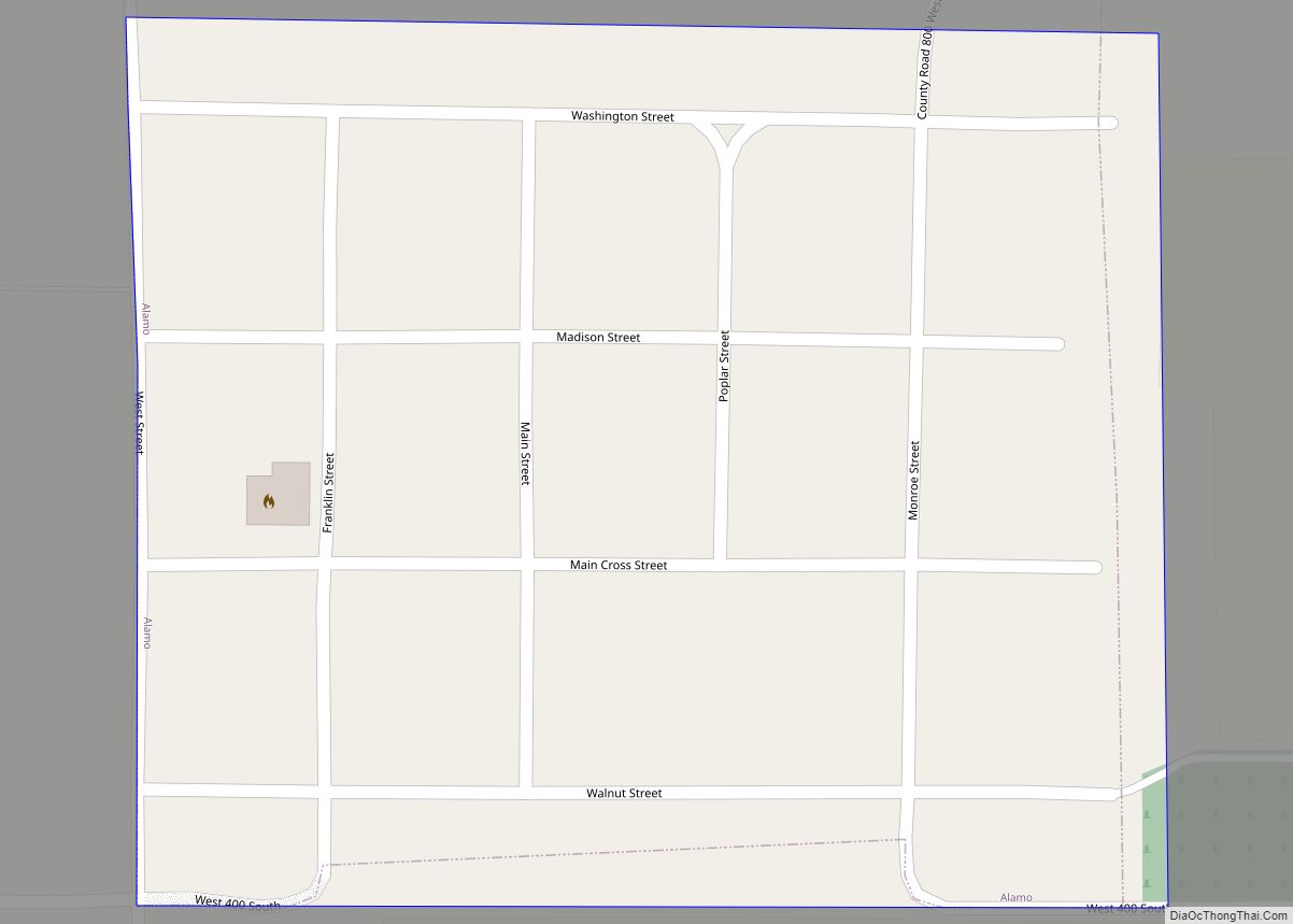
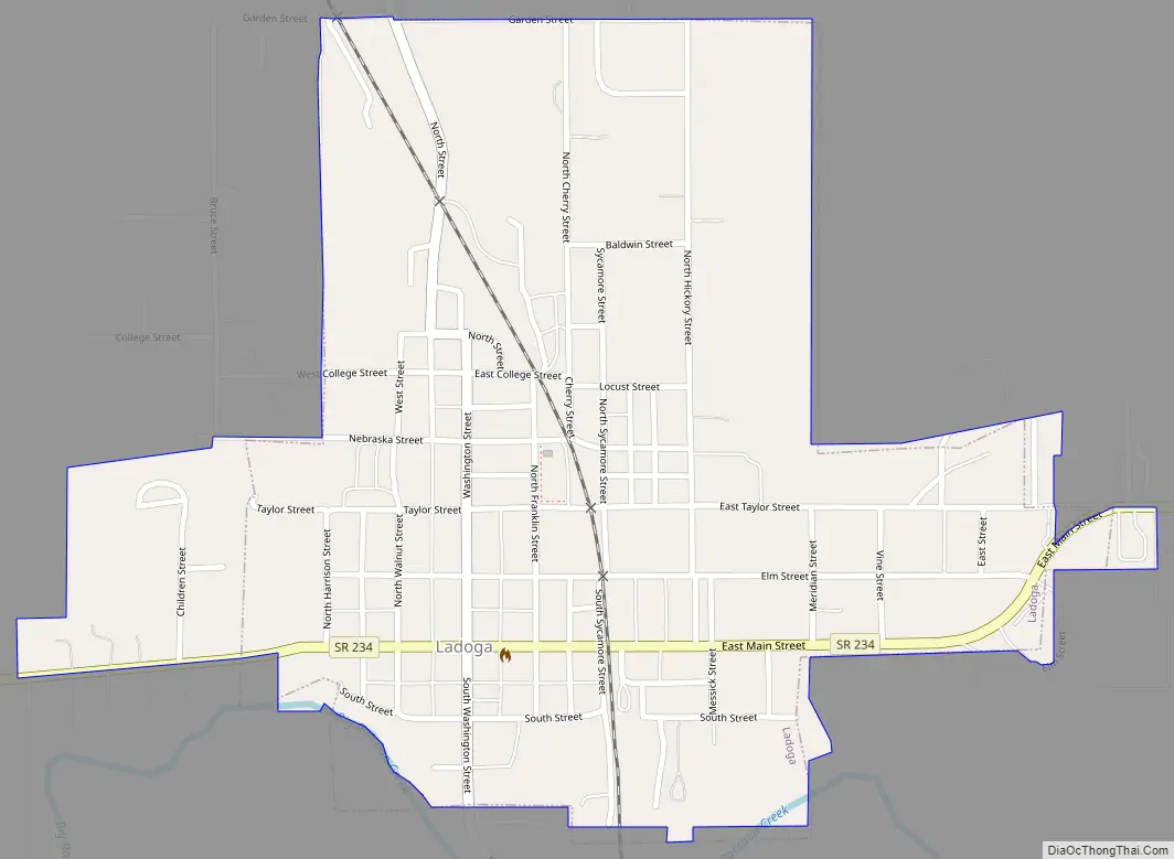
Ladoga Road Map
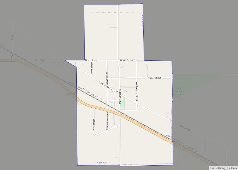
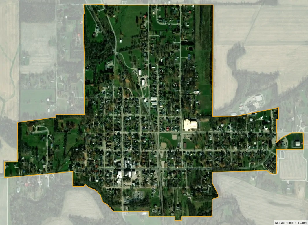
Ladoga city Satellite Map
Geography
Ladoga is located in southeastern Montgomery County at 39°54′55″N 86°47′57″W / 39.91528°N 86.79917°W / 39.91528; -86.79917 (39.915223, -86.799271). Indiana State Road 234 passes through the town as Main Street, leading east 10 miles (16 km) to Jamestown and west 15 miles (24 km) to Shades State Park. Crawfordsville, the Montgomery county seat, is 11 miles (18 km) to the northwest, and Indianapolis is 38 miles (61 km) to the southeast.
According to the U.S. Census Bureau, Ladoga has a total area of 0.54 square miles (1.40 km), all land. Big Raccoon Creek crosses the southeast and southwest corners of the town, flowing southwest, then northwest to the Wabash River south of Montezuma.
See also
Map of Indiana State and its subdivision:- Adams
- Allen
- Bartholomew
- Benton
- Blackford
- Boone
- Brown
- Carroll
- Cass
- Clark
- Clay
- Clinton
- Crawford
- Daviess
- De Kalb
- Dearborn
- Decatur
- Delaware
- Dubois
- Elkhart
- Fayette
- Floyd
- Fountain
- Franklin
- Fulton
- Gibson
- Grant
- Greene
- Hamilton
- Hancock
- Harrison
- Hendricks
- Henry
- Howard
- Huntington
- Jackson
- Jasper
- Jay
- Jefferson
- Jennings
- Johnson
- Knox
- Kosciusko
- LaGrange
- Lake
- Lake Michigan
- LaPorte
- Lawrence
- Madison
- Marion
- Marshall
- Martin
- Miami
- Monroe
- Montgomery
- Morgan
- Newton
- Noble
- Ohio
- Orange
- Owen
- Parke
- Perry
- Pike
- Porter
- Posey
- Pulaski
- Putnam
- Randolph
- Ripley
- Rush
- Saint Joseph
- Scott
- Shelby
- Spencer
- Starke
- Steuben
- Sullivan
- Switzerland
- Tippecanoe
- Tipton
- Union
- Vanderburgh
- Vermillion
- Vigo
- Wabash
- Warren
- Warrick
- Washington
- Wayne
- Wells
- White
- Whitley
- Alabama
- Alaska
- Arizona
- Arkansas
- California
- Colorado
- Connecticut
- Delaware
- District of Columbia
- Florida
- Georgia
- Hawaii
- Idaho
- Illinois
- Indiana
- Iowa
- Kansas
- Kentucky
- Louisiana
- Maine
- Maryland
- Massachusetts
- Michigan
- Minnesota
- Mississippi
- Missouri
- Montana
- Nebraska
- Nevada
- New Hampshire
- New Jersey
- New Mexico
- New York
- North Carolina
- North Dakota
- Ohio
- Oklahoma
- Oregon
- Pennsylvania
- Rhode Island
- South Carolina
- South Dakota
- Tennessee
- Texas
- Utah
- Vermont
- Virginia
- Washington
- West Virginia
- Wisconsin
- Wyoming