Lake Station is a city in Lake County, Indiana, United States. The population was 12,572 at the 2010 census.
| Name: | Lake Station city |
|---|---|
| LSAD Code: | 25 |
| LSAD Description: | city (suffix) |
| State: | Indiana |
| County: | Lake County |
| Elevation: | 620 ft (189 m) |
| Total Area: | 8.42 sq mi (21.82 km²) |
| Land Area: | 8.29 sq mi (21.47 km²) |
| Water Area: | 0.13 sq mi (0.35 km²) |
| Total Population: | 13,235 |
| Population Density: | 1,596.50/sq mi (616.44/km²) |
| ZIP code: | 46405 |
| Area code: | 219 |
| FIPS code: | 1841535 |
| GNISfeature ID: | 0433905 |
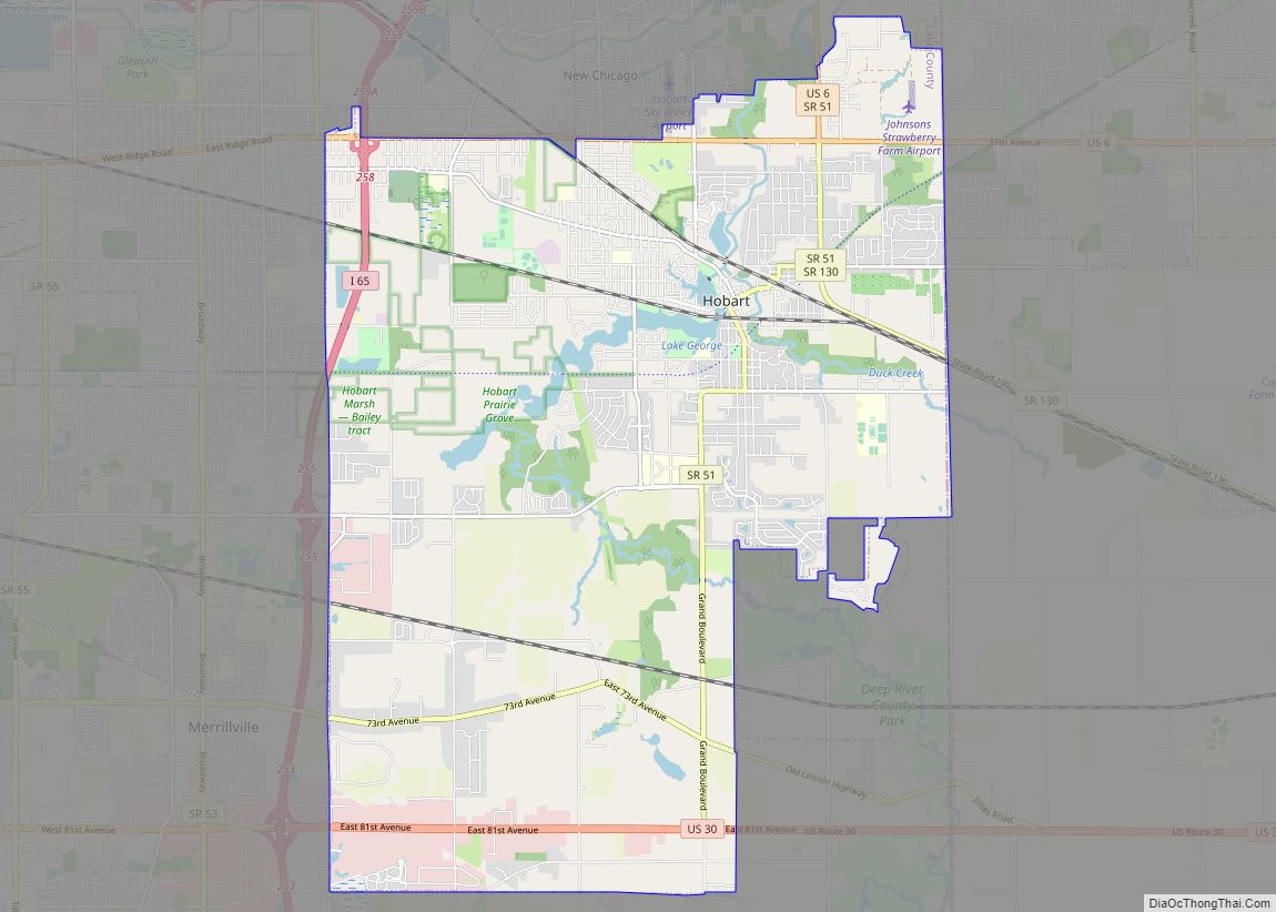
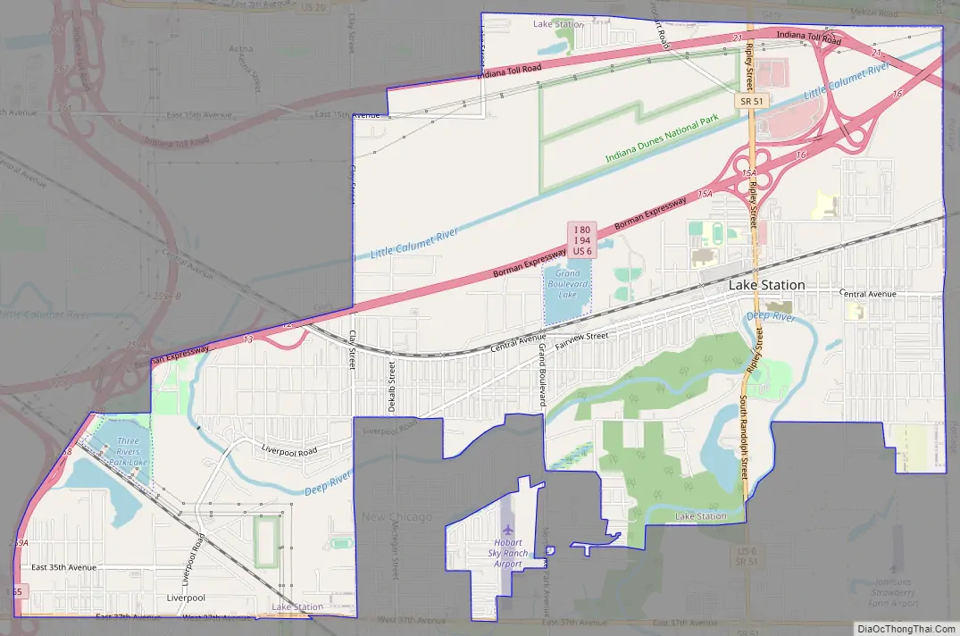
Online Interactive Map
Click on ![]() to view map in "full screen" mode.
to view map in "full screen" mode.
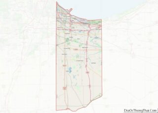
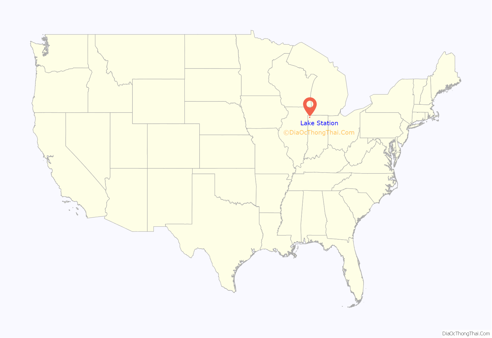
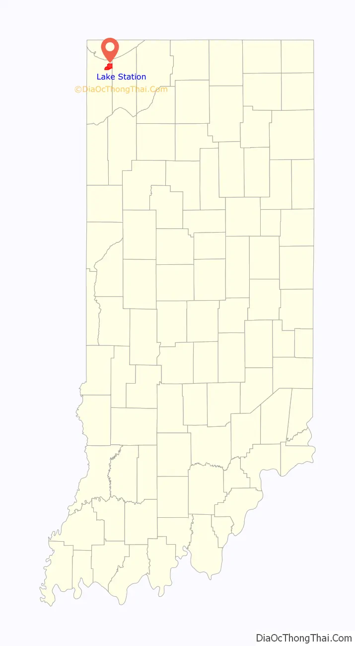
Lake Station location map. Where is Lake Station city?
History
Initially, the site of modern Lake Station was the starting point of two Amerind trails leading to Fort Dearborn. Later it became an early stagecoach depot stop, as the Fort Dearborn-Detroit Stagecoach Route passed through the site during the wet season. The location became known as Lake Station as far back as 1851 when it began to serve as a depot, the western terminus of the Michigan Central Railroad (on what would later become its Detroit to Chicago line). This was the first train station in Lake County. The Michigan Central Railroad built a park and railroad shops around its two-story depot. A year later, in April 1852, George Earle mapped out and platted a town of about 6,500 acres (26 km) on the site, continuing its name of Lake Station.
Being a bedroom community, Lake Station welcomed Abraham Lincoln to its Audubon Hotel, perhaps on more than one occasion, according to oral history. But George Pullman, who tried to negotiate for land in Lake Station for his proposed railcar company, never struck a deal and set up shop on the south side of Chicago instead. Prior to its current location in Crown Point, Indiana, the county seat was located on what is now the west end of Lake Station in a section called Liverpool, although it was a separate settlement at the time.
The name of Lake Station was officially changed to East Gary in 1908 in an attempt to lure executives from the nearby US Steel plant in Gary, Indiana into creating a suburban community. With another name change in 1977, primarily to disassociate itself from the urban decay and crime of Gary, the city reverted to its historical designation of Lake Station.
Lake Station also plays host to some events such as the Fuzz Follies, which is a car show that takes place in Riverview Park every year since 1984. Since 2004 The Heritage Days Festival has also taken place in Riverview Park. Both events are usually in June. The city’s newest event held for the first time in September 2009 is Septemberfest, which is held around Labor Day weekend.
In September 2015, the mayor of Lake Station, Keith Soderquist, and his wife, Deborah Soderquist, were found guilty of conspiracy, wire fraud and filing false income tax returns. Under state law, a mayor convicted of a felony forfeits his elected office.
Lake Station remains a mostly residential community.
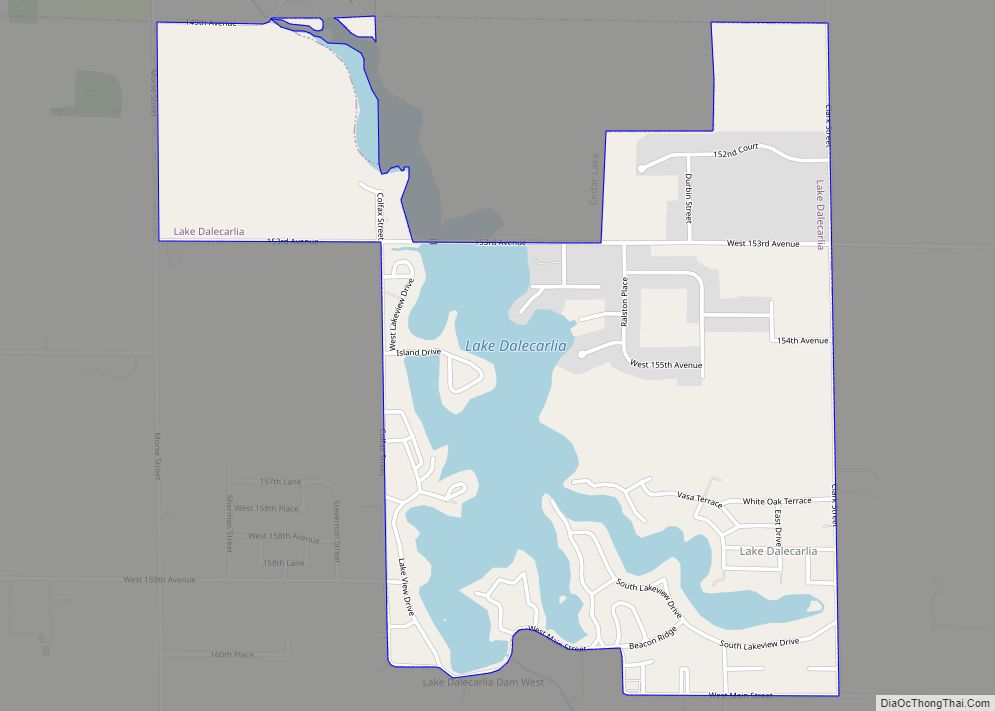
Lake Station Road Map
Lake Station city Satellite Map

Geography
Lake Station is located at 41°34′11″N 87°15′35″W / 41.56972°N 87.25972°W / 41.56972; -87.25972 (41.569836, -87.259785).
According to the 2010 census, Lake Station has a total area of 8.431 square miles (21.84 km), of which 8.3 square miles (21.50 km) (or 98.45%) is land and 0.131 square miles (0.34 km) (or 1.55%) is water.
The city lies on the Calumet Shoreline, which is seen today as a sand ridge.
Major highways
- Interstate 65
- Interstate 80
- Interstate 90
- Interstate 94
- U.S. Route 6
- U.S. Route 20
- Indiana State Road 51
Lakes and rivers
- Grand Boulevard Lake
- Deep River (Indiana)
Surrounding cities
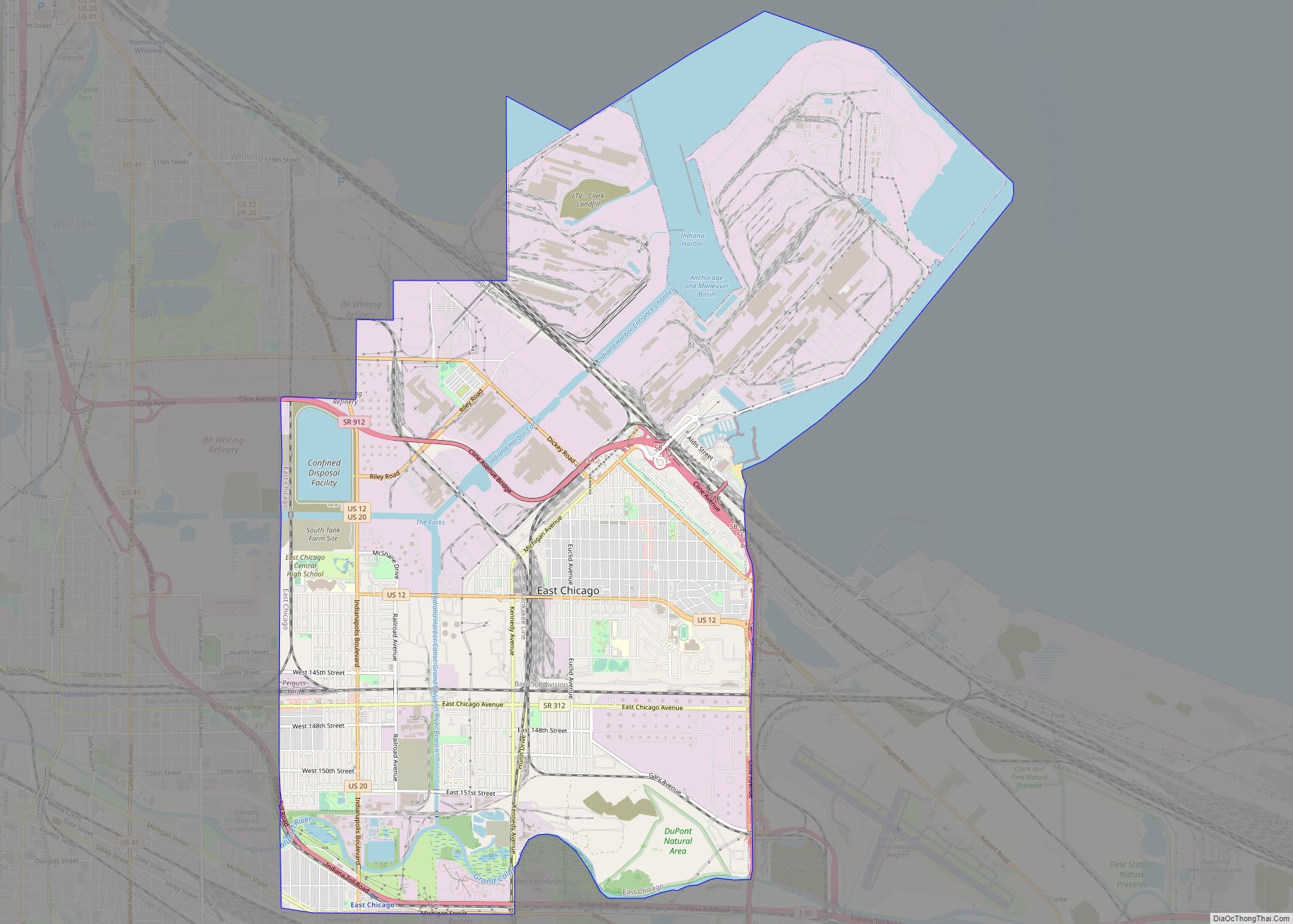
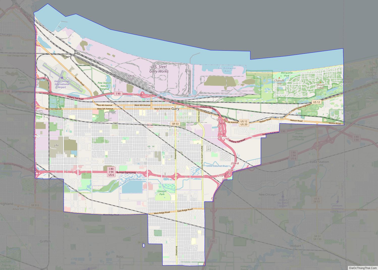
- Hobart
- Gary
- Portage
- Town of New Chicago
Parks
- Four Winds Park
- Columbus Park
- Riverview Park
- Miller Park
- Mock Park
- Deep River Outdoor Recreation Center
- Johnson Park
- Bicentennial Park
- Warrick Park
- Riley Park
See also
Map of Indiana State and its subdivision:- Adams
- Allen
- Bartholomew
- Benton
- Blackford
- Boone
- Brown
- Carroll
- Cass
- Clark
- Clay
- Clinton
- Crawford
- Daviess
- De Kalb
- Dearborn
- Decatur
- Delaware
- Dubois
- Elkhart
- Fayette
- Floyd
- Fountain
- Franklin
- Fulton
- Gibson
- Grant
- Greene
- Hamilton
- Hancock
- Harrison
- Hendricks
- Henry
- Howard
- Huntington
- Jackson
- Jasper
- Jay
- Jefferson
- Jennings
- Johnson
- Knox
- Kosciusko
- LaGrange
- Lake
- Lake Michigan
- LaPorte
- Lawrence
- Madison
- Marion
- Marshall
- Martin
- Miami
- Monroe
- Montgomery
- Morgan
- Newton
- Noble
- Ohio
- Orange
- Owen
- Parke
- Perry
- Pike
- Porter
- Posey
- Pulaski
- Putnam
- Randolph
- Ripley
- Rush
- Saint Joseph
- Scott
- Shelby
- Spencer
- Starke
- Steuben
- Sullivan
- Switzerland
- Tippecanoe
- Tipton
- Union
- Vanderburgh
- Vermillion
- Vigo
- Wabash
- Warren
- Warrick
- Washington
- Wayne
- Wells
- White
- Whitley
- Alabama
- Alaska
- Arizona
- Arkansas
- California
- Colorado
- Connecticut
- Delaware
- District of Columbia
- Florida
- Georgia
- Hawaii
- Idaho
- Illinois
- Indiana
- Iowa
- Kansas
- Kentucky
- Louisiana
- Maine
- Maryland
- Massachusetts
- Michigan
- Minnesota
- Mississippi
- Missouri
- Montana
- Nebraska
- Nevada
- New Hampshire
- New Jersey
- New Mexico
- New York
- North Carolina
- North Dakota
- Ohio
- Oklahoma
- Oregon
- Pennsylvania
- Rhode Island
- South Carolina
- South Dakota
- Tennessee
- Texas
- Utah
- Vermont
- Virginia
- Washington
- West Virginia
- Wisconsin
- Wyoming