Bloomfield is a home rule–class city in Nelson County, Kentucky, in the United States. The population was 838 during the 2010 U.S. census. Former names of the city included Middlesburg and Gandertown.
| Name: | Bloomfield city |
|---|---|
| LSAD Code: | 25 |
| LSAD Description: | city (suffix) |
| State: | Kentucky |
| County: | Nelson County |
| Incorporated: | 1819 |
| Elevation: | 676 ft (206 m) |
| Total Area: | 1.46 sq mi (3.79 km²) |
| Land Area: | 1.44 sq mi (3.73 km²) |
| Water Area: | 0.02 sq mi (0.06 km²) |
| Total Population: | 961 |
| Population Density: | 666.90/sq mi (257.45/km²) |
| ZIP code: | 40008 |
| Area code: | 502 |
| FIPS code: | 2107516 |
| GNISfeature ID: | 0487497 |
| Website: | www.bloomfieldky.com |
Online Interactive Map
Click on ![]() to view map in "full screen" mode.
to view map in "full screen" mode.
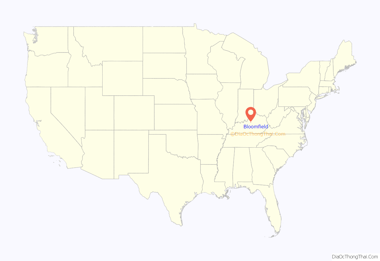
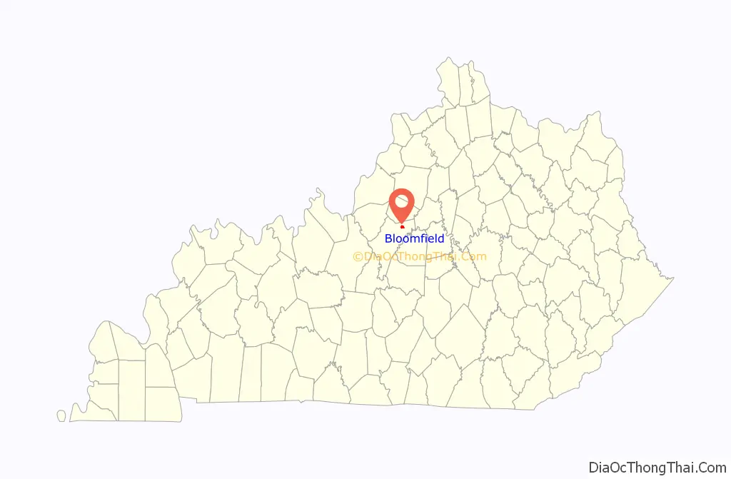
Bloomfield location map. Where is Bloomfield city?
History
The community on the east fork of Simpson Creek originally grew up on sites purchased from Leven Powell’s 2,000-acre (810 ha) land grant, which he received from the state of Virginia in 1779 and surveyed in 1781. The community on the east bank of the creek was known as Middlesburg when its first post office opened in 1803; the west bank was known as Gandertown from its sport of “ganderpulling”. Dr. John Bemiss of Rochester, New York, had settled in the area in 1799; in 1817, he laid out the town and renamed it Bloomfield, supposedly after his wife’s maiden name (Bloomer) and his daughter’s married name (Merrifield). The post office adopted this name the next year, but, according to the state’s Land Office, the town was still formally incorporated under the name Middlesburg in 1819.
Bloomfield’s economy has always been agriculturally based, but there was a flour mill and a tobacco auction house in the 19th century. The Newell B. McClaskey House and plantation was built in 1835, and is now listed on the National Register of Historic Places. The McClaskey family had owned over 700 acres of land in the area at one time.
The public library was established in 1916 by the local Woman’s Club.
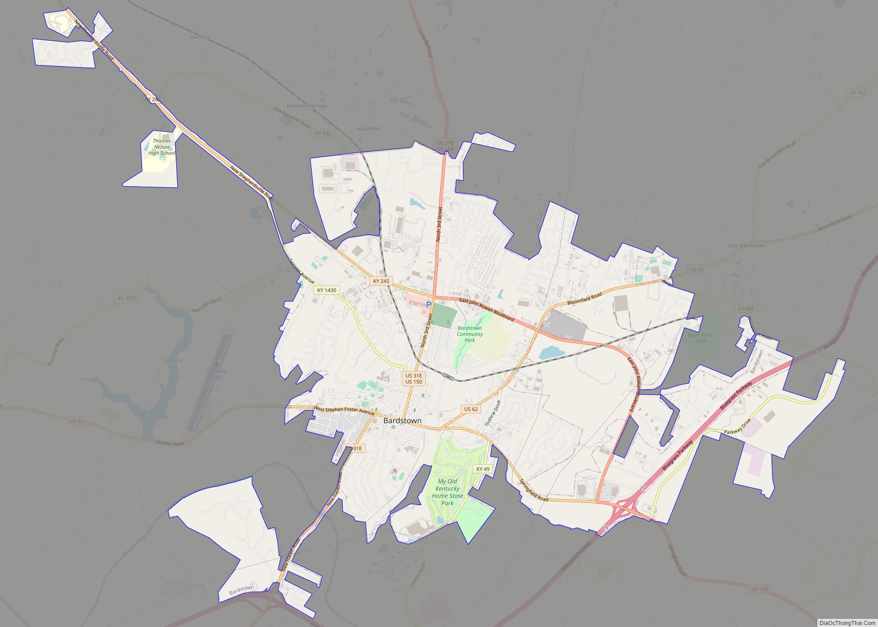
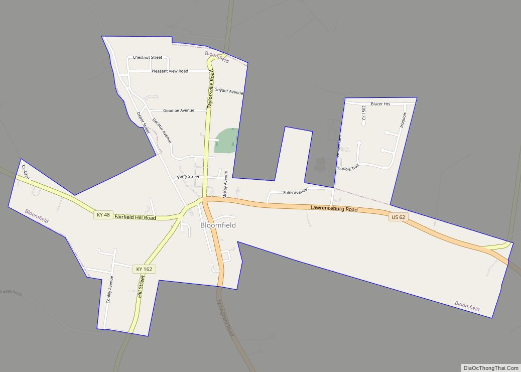
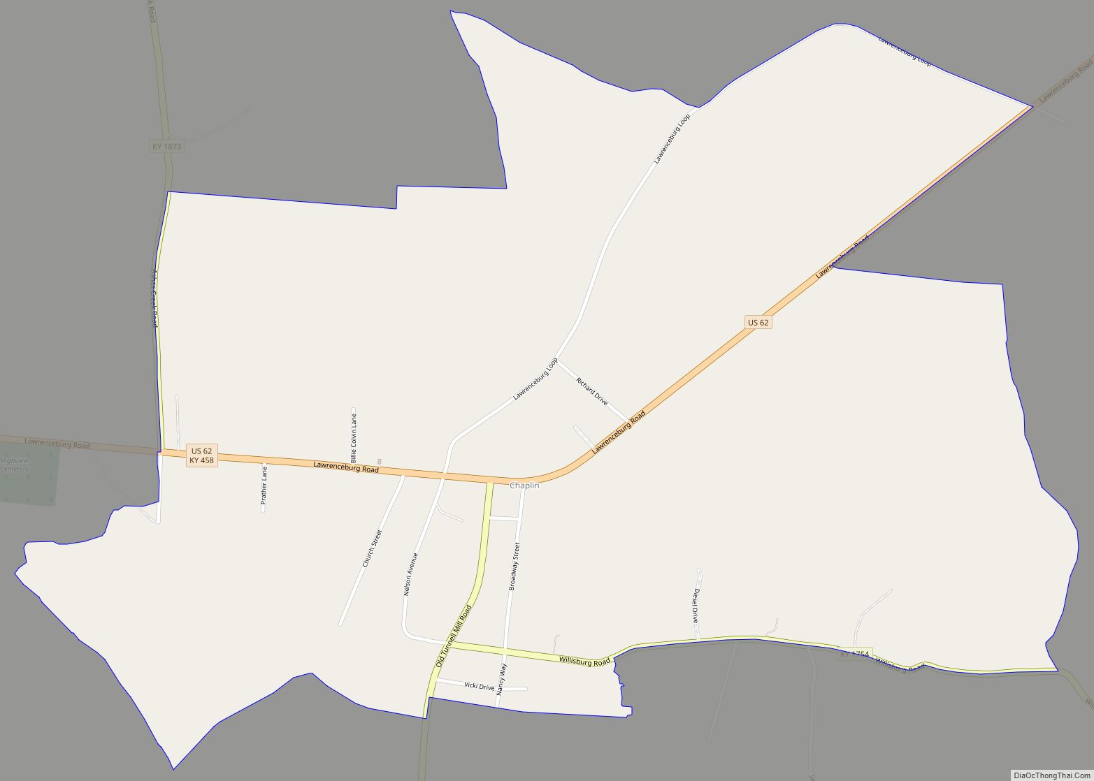
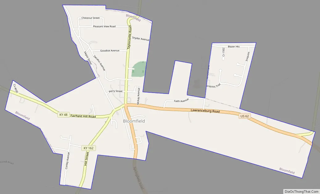
Bloomfield Road Map
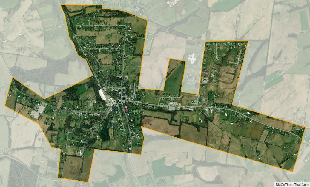
Bloomfield city Satellite Map
Geography
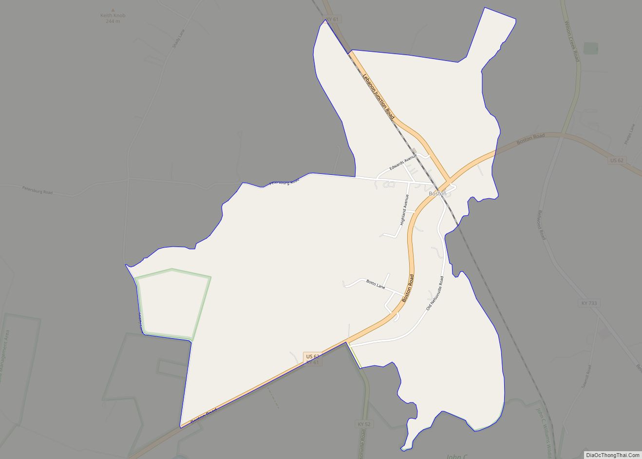
Bloomfield is located at 37°54′52″N 85°19′9″W / 37.91444°N 85.31917°W / 37.91444; -85.31917 (37.914332, -85.319232) on the East Fork of Simpson Creek (part of the Salt River watershed). It is concentrated around the intersection of US 62, KY 55 and KY 48, 9 miles (14 km) northeast of Bardstown, and about 20 miles (32 km) southeast of Louisville. According to the United States Census Bureau, the city has a total area of 1.3 square miles (3.4 km), of which 1.3 square miles (3.4 km) is land and 0.78% is water.
See also
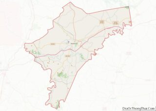
Map of Kentucky State and its subdivision:- Adair
- Allen
- Anderson
- Ballard
- Barren
- Bath
- Bell
- Boone
- Bourbon
- Boyd
- Boyle
- Bracken
- Breathitt
- Breckinridge
- Bullitt
- Butler
- Caldwell
- Calloway
- Campbell
- Carlisle
- Carroll
- Carter
- Casey
- Christian
- Clark
- Clay
- Clinton
- Crittenden
- Cumberland
- Daviess
- Edmonson
- Elliott
- Estill
- Fayette
- Fleming
- Floyd
- Franklin
- Fulton
- Gallatin
- Garrard
- Grant
- Graves
- Grayson
- Green
- Greenup
- Hancock
- Hardin
- Harlan
- Harrison
- Hart
- Henderson
- Henry
- Hickman
- Hopkins
- Jackson
- Jefferson
- Jessamine
- Johnson
- Kenton
- Knott
- Knox
- Larue
- Laurel
- Lawrence
- Lee
- Leslie
- Letcher
- Lewis
- Lincoln
- Livingston
- Logan
- Lyon
- Madison
- Magoffin
- Marion
- Marshall
- Martin
- Mason
- McCracken
- McCreary
- McLean
- Meade
- Menifee
- Mercer
- Metcalfe
- Monroe
- Montgomery
- Morgan
- Muhlenberg
- Nelson
- Nicholas
- Ohio
- Oldham
- Owen
- Owsley
- Pendleton
- Perry
- Pike
- Powell
- Pulaski
- Robertson
- Rockcastle
- Rowan
- Russell
- Scott
- Shelby
- Simpson
- Spencer
- Taylor
- Todd
- Trigg
- Trimble
- Union
- Warren
- Washington
- Wayne
- Webster
- Whitley
- Wolfe
- Woodford
- Alabama
- Alaska
- Arizona
- Arkansas
- California
- Colorado
- Connecticut
- Delaware
- District of Columbia
- Florida
- Georgia
- Hawaii
- Idaho
- Illinois
- Indiana
- Iowa
- Kansas
- Kentucky
- Louisiana
- Maine
- Maryland
- Massachusetts
- Michigan
- Minnesota
- Mississippi
- Missouri
- Montana
- Nebraska
- Nevada
- New Hampshire
- New Jersey
- New Mexico
- New York
- North Carolina
- North Dakota
- Ohio
- Oklahoma
- Oregon
- Pennsylvania
- Rhode Island
- South Carolina
- South Dakota
- Tennessee
- Texas
- Utah
- Vermont
- Virginia
- Washington
- West Virginia
- Wisconsin
- Wyoming